Pete's Walks- Lilley to Barton-le-Clay walk (page 5 of 6)
If you are considering walking this route yourself, please see my disclaimer. You may also like to see these notes about the maps and GPX files.
Lunch over, I returned to the path and continued alongside the hedge. But after just a few yards, when the path went straight on across a small corner of the meadow to a gate, I followed the hedge and fence on my left as they went left. I then went through a gate and followed a narrow path that initially ran past the end of Barn Hole on my left. Further on the path descended quite steeply for a short distance at the end of another steep-sided valley that merges with Barn Hole, before climbing much less steeply and for a much shorter distance on the other side of the 'dip'. On reaching a gate in a fence corner, close to a few beech trees, I continued through the gate and on along the hill top, admiring the views ahead and over to my left. After a few more hundred yards I reached the trig column on top of Deacon Hill.
The start of the footpath to Deacon Hill
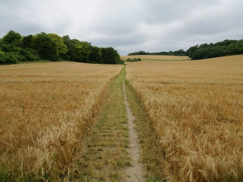
Looking ahead along the footpath to Deacon Hill
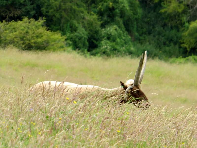
A heavily-armed sheep!
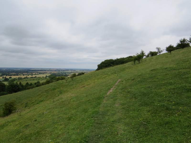
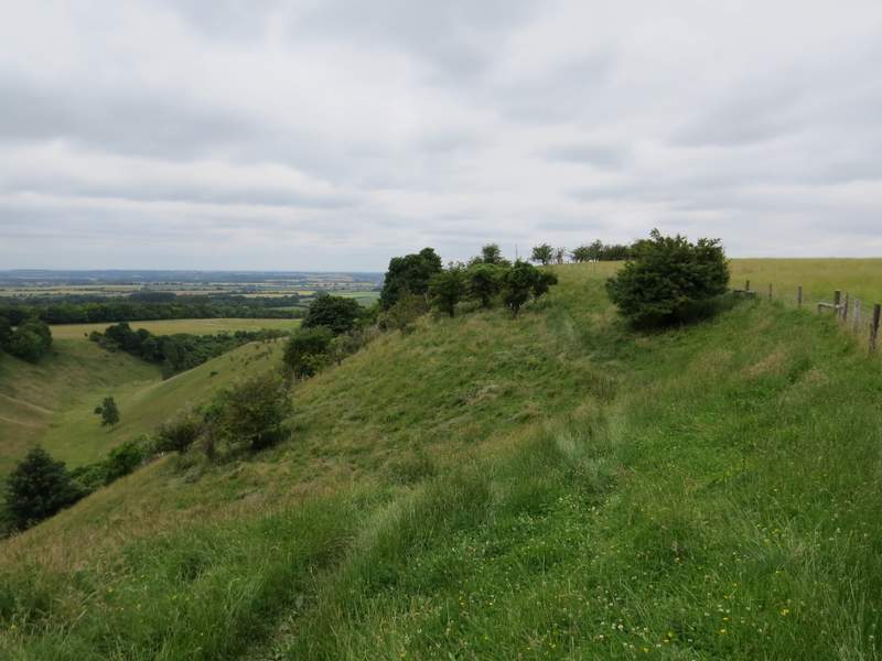
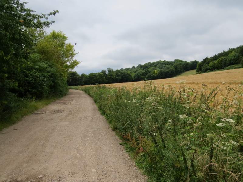
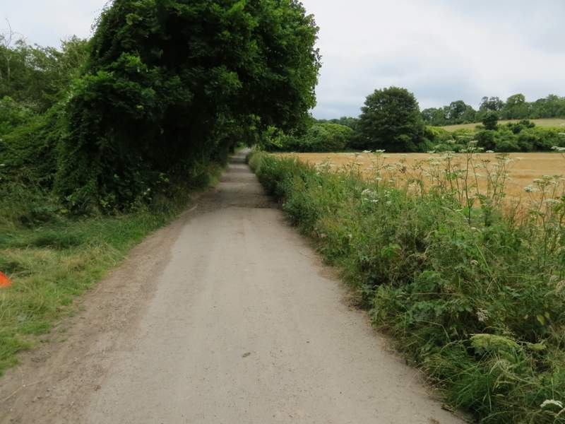
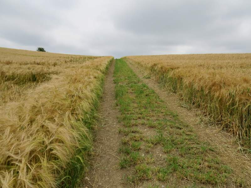
The footpath to Deacon Hill
The footpath to Deacon Hill
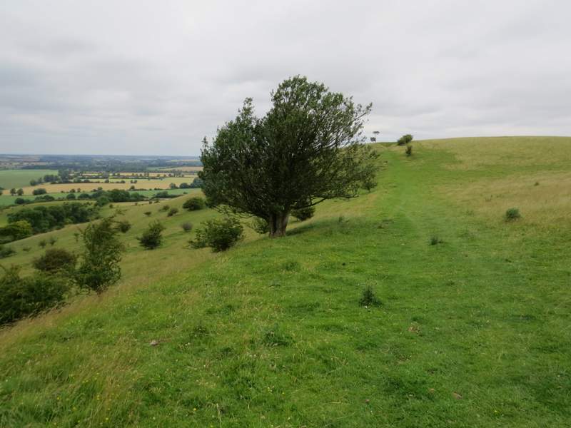
Approaching the top of Deacon Hill (you can se the trig column on the skyline between the bushes)
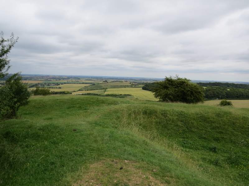
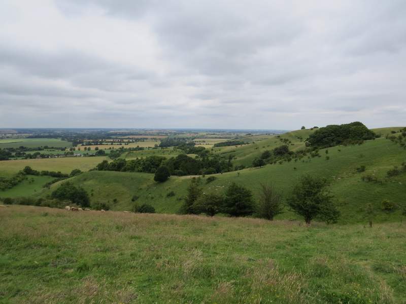
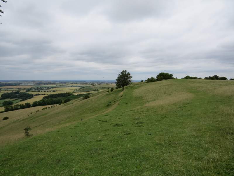
View from the top of Deacon Hill
I then turned right, following a faint path that led through the lumps and bumps and bushes on top of Deacon Hill. Soon it was descending steeply downhill. At the foot of the slope a couple of people were trying to identify a small wildflower and I was able to tell them that it was Squinancywort (it's only just occurred to me, but by some odd coincidence when I was near Ivinghoe Beacon on my 'Alternative Ashridge Walk' a couple of weeks ago, I passed a group of people who were obviously out looking for wildflowers and their leader was talking about Squinancywort as I went by!). I went through a couple of gates and then turned left along a hedge-lined track, another section of the Icknield Way. It ended at a small car park by a road, where I went two or three hundred yards right and then turned right along a track or drive to the few dwellings at Wellbury.
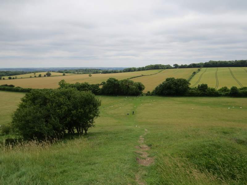
The path down Deacon Hill
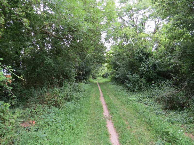
The Icknield Way again
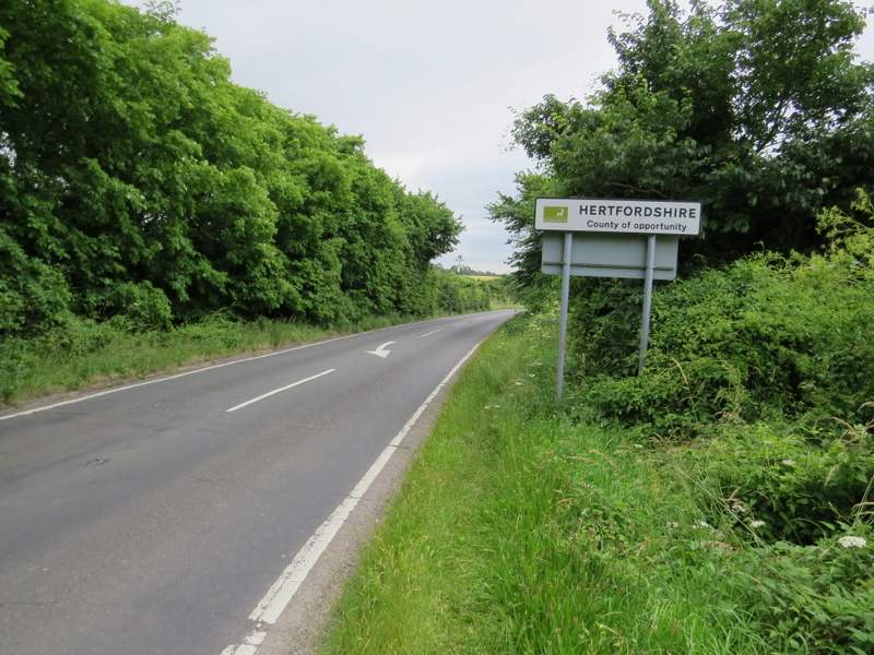
The short road walk (Lilley is in Herts, Barton is in Beds and Hexton is in Herts, so this would be at least the fourth time I'd cross the county boundary)
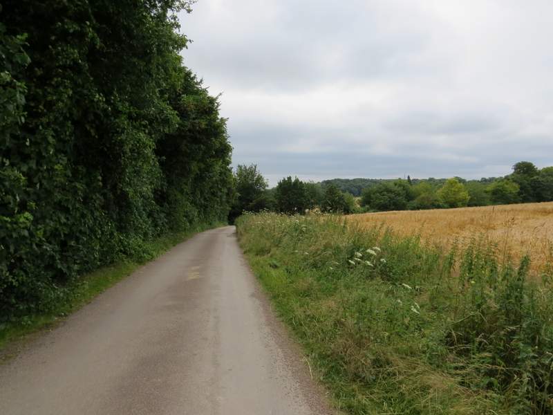
I followed the drive for several hundred yards. It turned left at one point, then when it turned right it deteriorated from being like a lane to a more roughly surfaced track. I stayed with it when it turned left near a house, then a little further on I turned right onto a bridleway which crossed part of a large corn field. After passing the corner of a wood, it went slightly left and started uphill, still in the same corn field. At the top of the slope the bridleway continued on towards the small settlement of Little Offley.
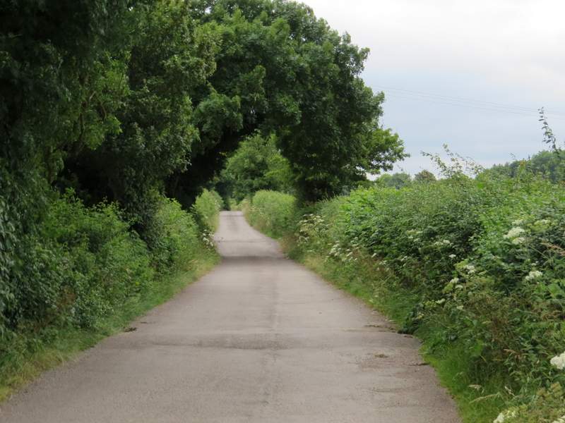
The drive to Wellbury House
The drive to Wellbury House
The drive to Wellbury House
The drive to Wellbury House, just before I took a path on the right
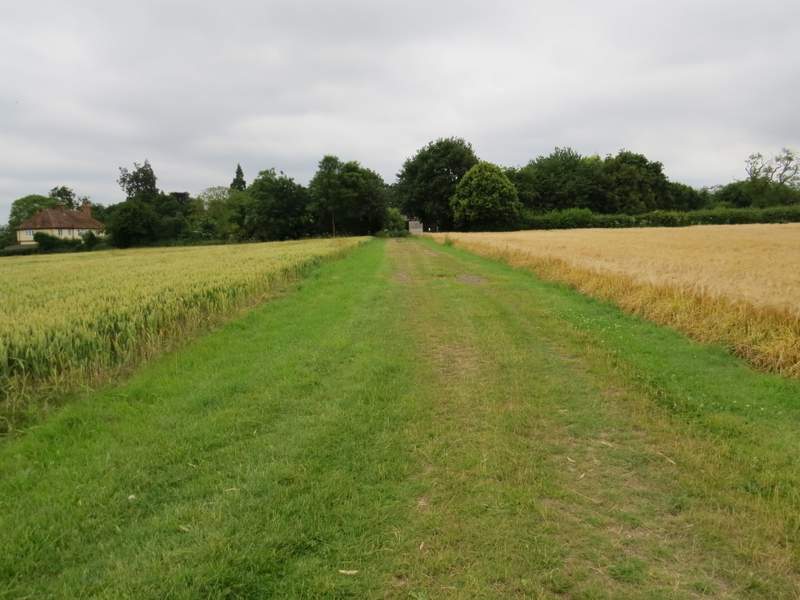
The bridleway from Wellbury to Little Offley
The bridleway from Wellbury to Little Offley
Approaching Little Offley (I turned left along the hedgerow)