Pete's Walks- Watlington Hill, Nuffield, Russell's Water (page 5 of 7)
If you are considering walking this route yourself, please see my disclaimer. You may also like to see these notes about the maps and GPX files.
I turned right and followed the road into the centre of the village (this was another new section for me). I needed to turn left into Watlington Street, but when I reached it I decided to cross it and go on a few yards (also crossing the road to Crocker End) to sit and eat my lunch on a bench by the village sign (an attractive mosaic) - it was a late lunch for me, as it was now about 1.45pm. After lunch I went a short distance along Watlington Street, then took a bridleway going half-right along a drive (there was a sign here saying something like 'No through road to Magpies', that being the name of the next hamlet I was heading to). The drive went uphill, and at its end the bridleway continued through a wood - there were several different paths and tracks in the wood, but the route of the bridleway was clearly marked by white arrows on trees. After a while the bridleway joined a drive, which it followed a short distance right, towards the hamlet of Magpies.
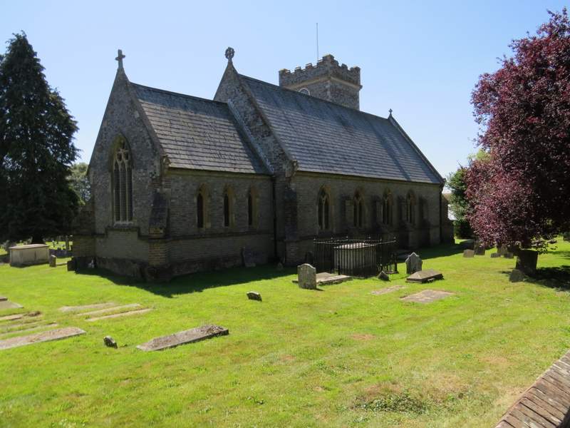
Nettlebed church
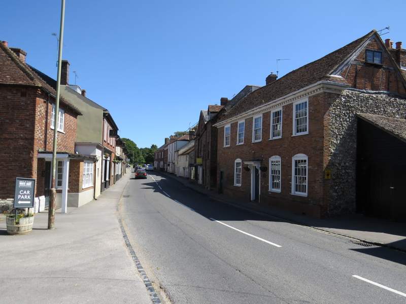
Nettlebed
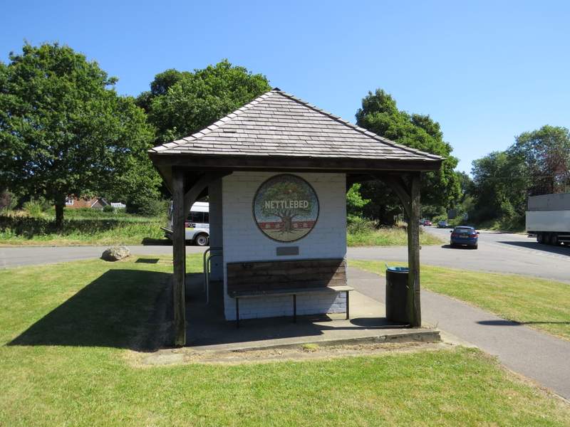
The shelter and village sign, Nettlebed
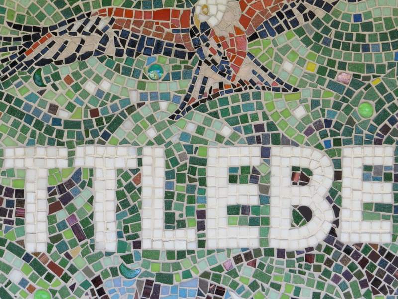
Close-up of the mosaic village sign
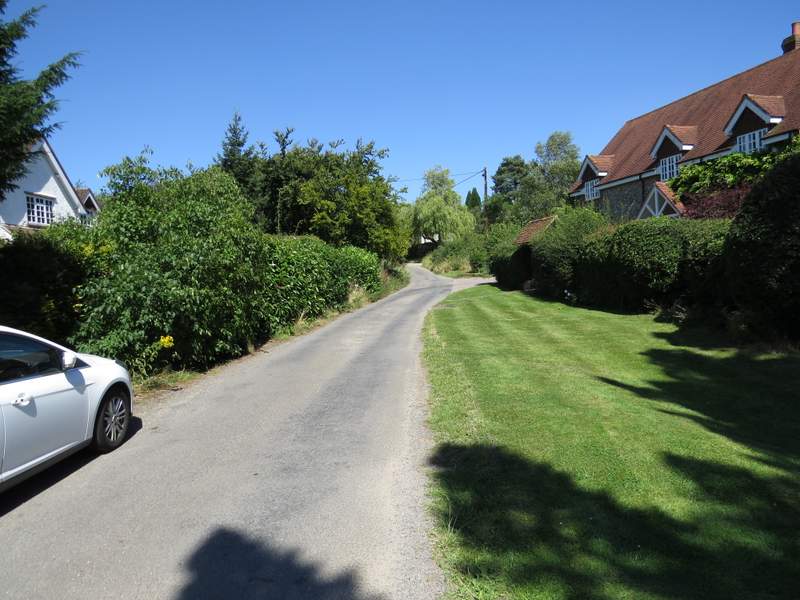
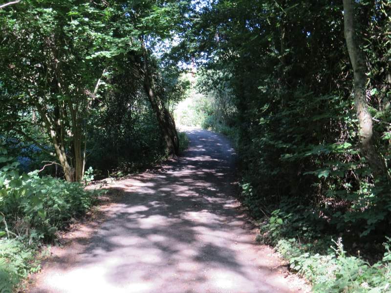
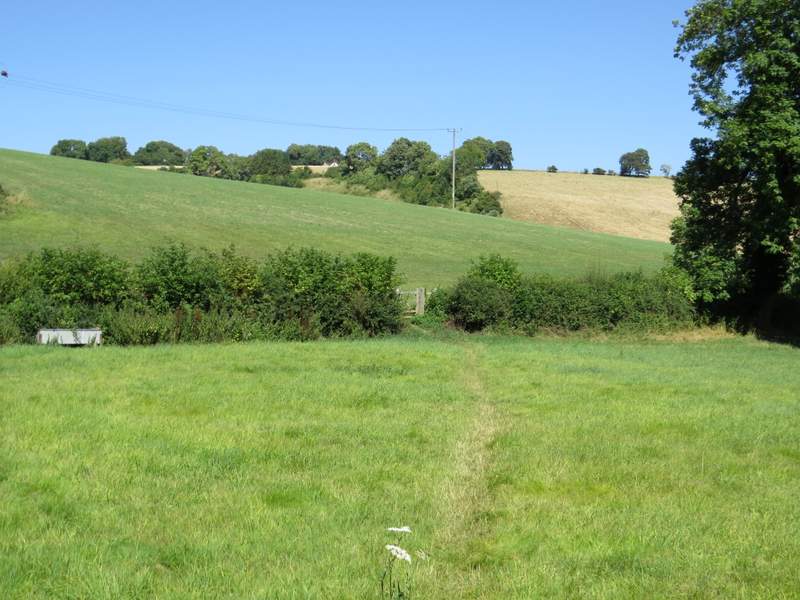
The start of the bridleway to Magpies
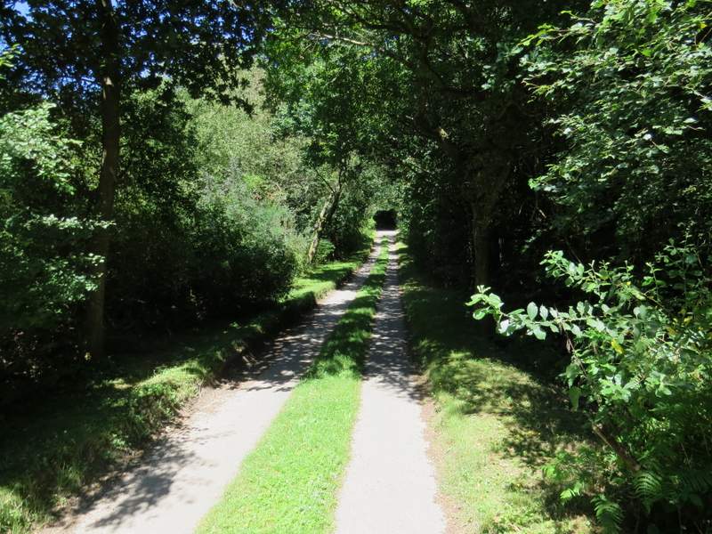
The bridleway to Magpies
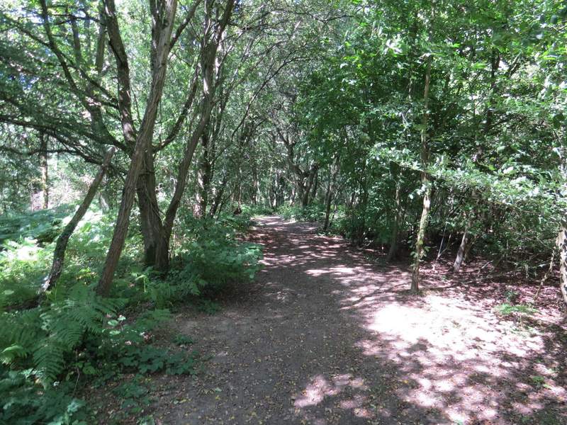
The bridleway to Magpies
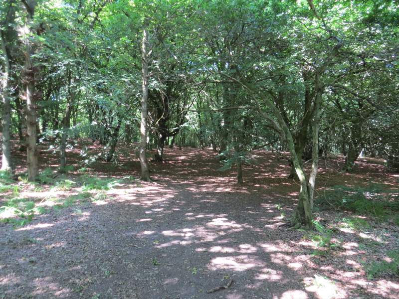
The bridleway to Magpies
The bridleway to Magpies
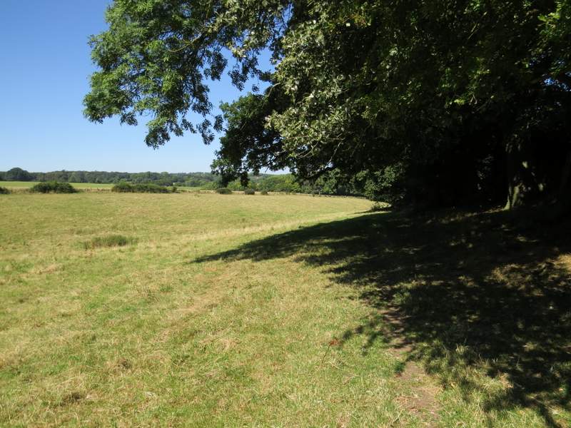
Immediately that I reached Magpies, I turned right on a footpath (which I'd walked before), with the garden boundary of the first house in the hamlet on my left. The path then ran through part of the garden, passing a large pond on the left. It then ran through a large meadow (or empty pasture), starting near the right edge and gradually crossing closer towards the left. The path then ran through a wood, gradually descending - I saw some more Nettle-leaved Bellflowers here. On leaving the wood, the path crossed a drive and continued across a small corner of a cattle pasture to reach another drive (to Westwood Manor Farm, a short way to my left).
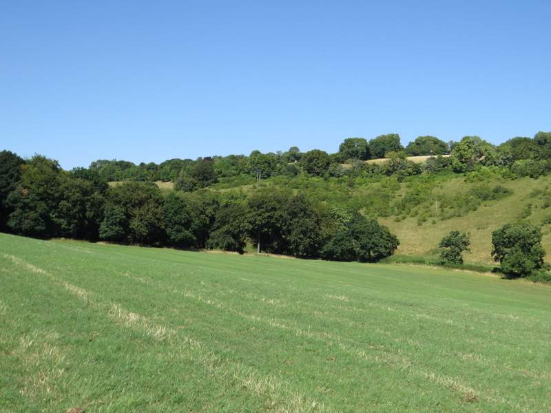
The path going north from Magpies
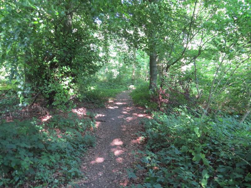
The path going north from Magpies
The path going north from Magpies
A path continued on the other side of this drive, through a small field, and then going slightly right and uphill through a larger field - this field was very short grass and there was no sign of the path, so from memory I started by going slightly right, aiming just left of a telephone post. I then turned slightly left, trying now to stay at roughly the same height just below the top of the small slope on my left. As I drew near a wood, I finally managed to spot where the path entered it (a white arrow on a tree) and followed the path downhill through the wood, to reach a kissing-gate and a bridleway running along a valley bottom.
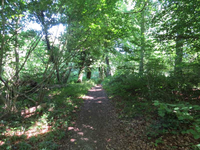
The path continuing from near Westwood Manor Farm
The path continuing from near Westwood Manor Farm
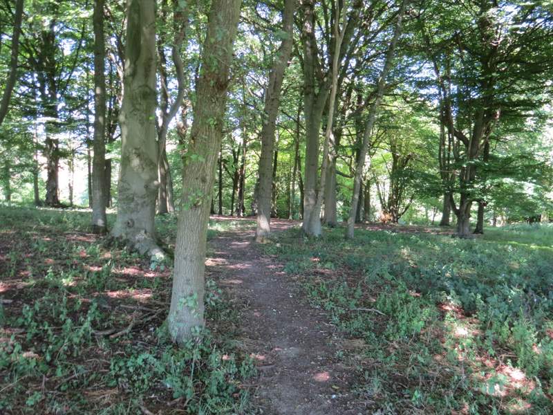
The path continuing from near Westwood Manor Farm