Pete's Walks- Watlington Hill, Nuffield, Russell's Water (page 6 of 7)
If you are considering walking this route yourself, please see my disclaimer. You may also like to see these notes about the maps and GPX files.
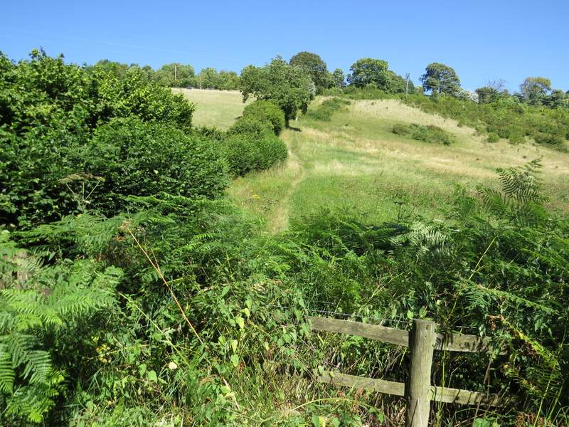
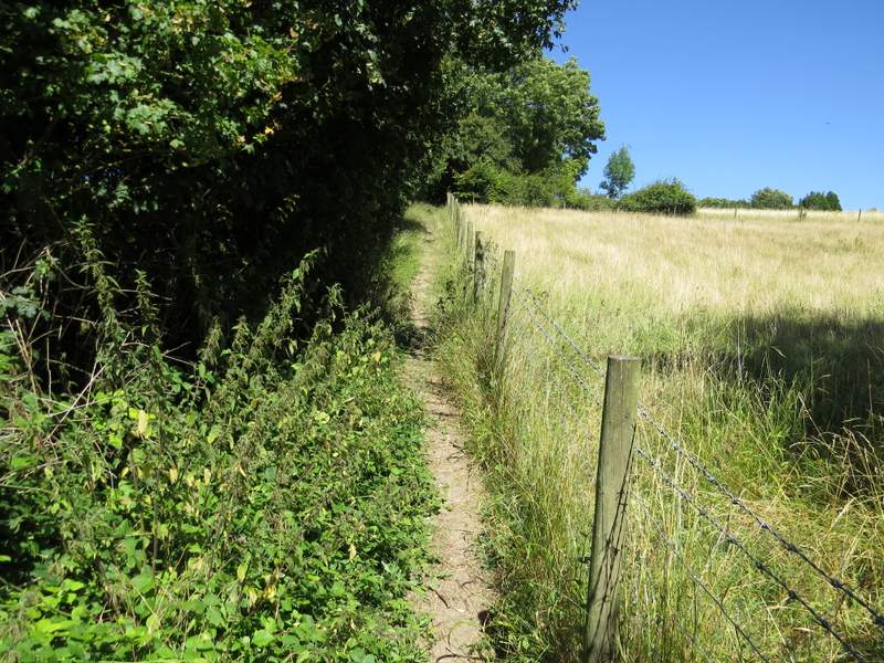
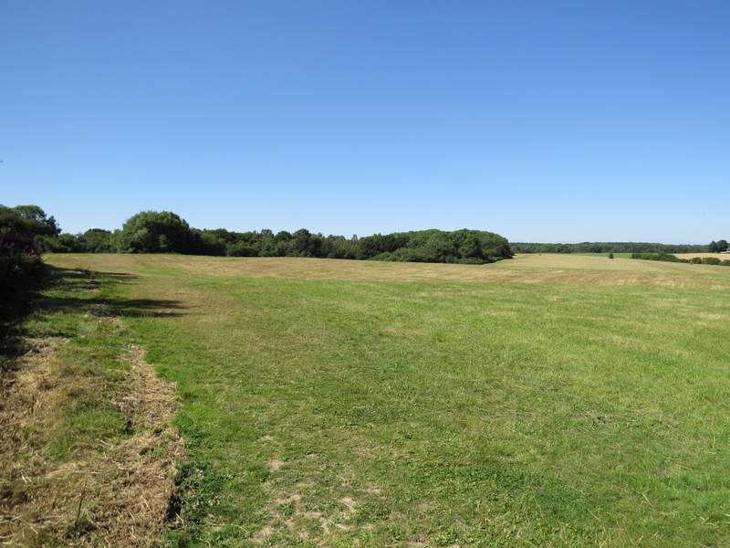
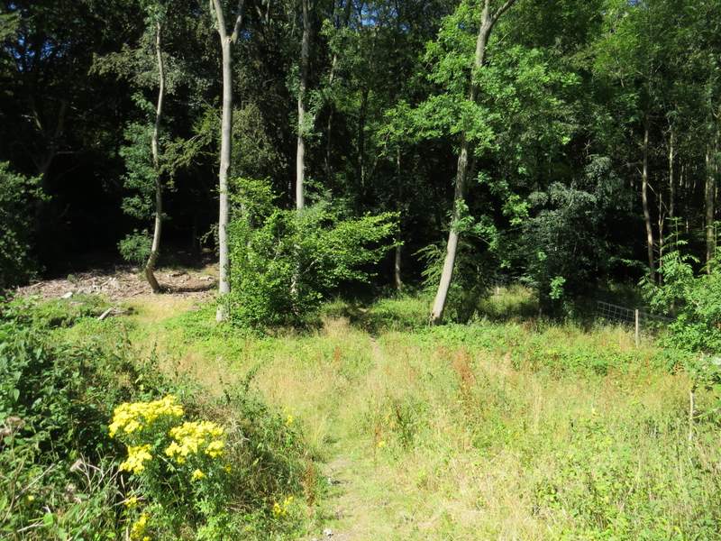
I went a few yards left along the bridleway, then took a footpath starting on the other side (this was the start of a section I'd only walked once before, in the opposite direction, in June this year). The path started steeply up a scrub-covered slope, following a hedgerow on my left - this was quite a steep climb by the standards of the Chilterns, as the path went straight up the slope rather than at an easier angle across it. It wasn't too long though, and as soon as the gradient started to ease the path finally turned right and ran level for a short distance, before turning right, going up a short flight of steps and gently continuing to the top of the slope, and then on to reach the lane that runs through Russell's Water.
The start of the path to Russell's Water
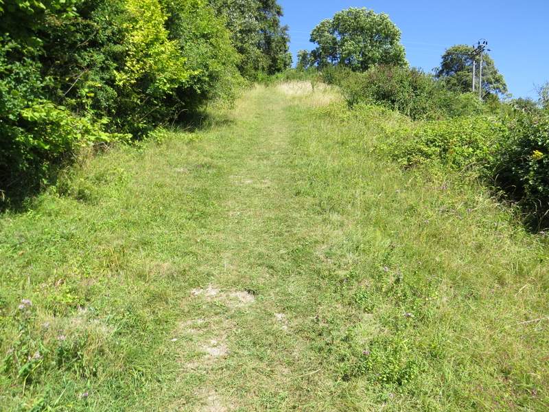
The path to Russell's Water
Looking right from the path to Russell's Water - this gives a good impression of the steepness of the path, which goes straight up the slope
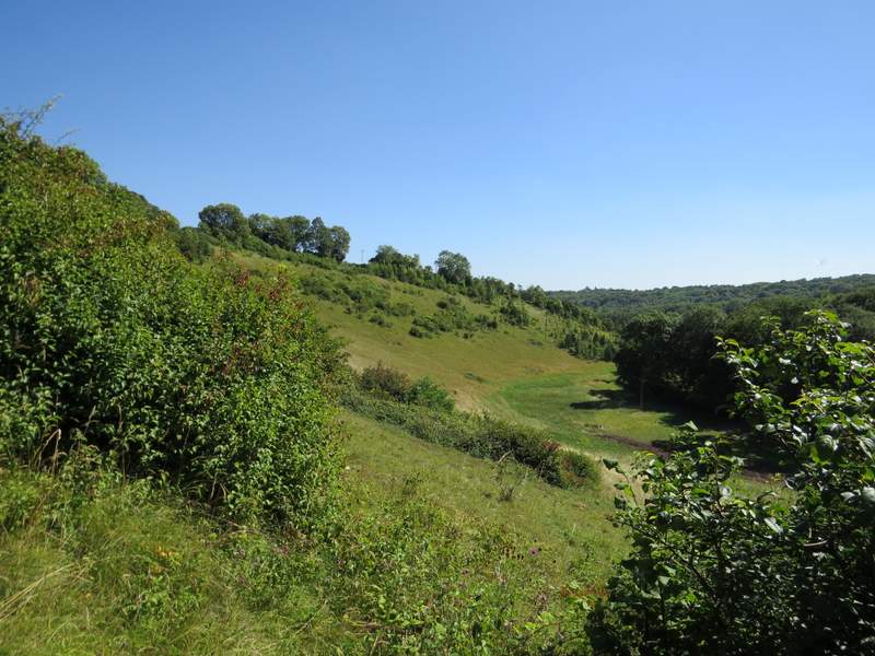
The path to Russell's Water
The path to Russell's Water
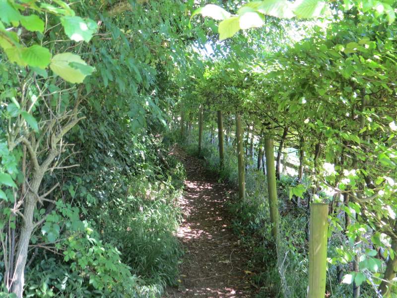
The path to Russell's Water
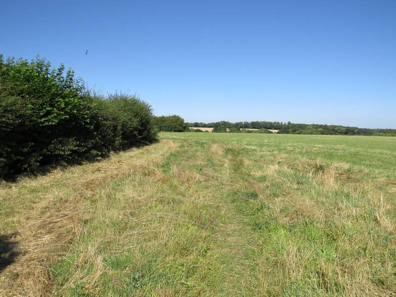
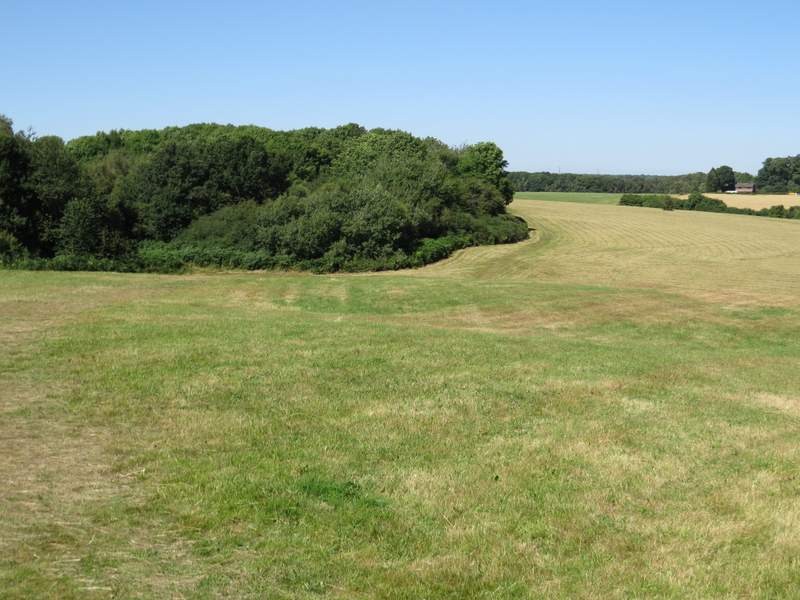
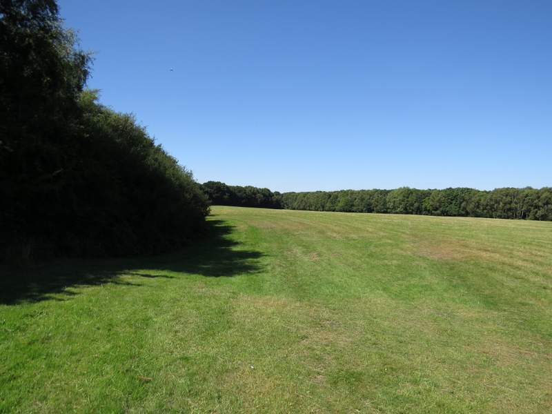
I turned right and followed the lane, soon passing the Five Horseshoes pub on my right. Immediately after a house on the left, I reached Russell's Water Common (somewhere ahead of me here it becomes Maidensgrove Common). I turned left and followed a path across the common, initially by the garden hedge on my left and then heading to a gap between some bushes ahead of me. At this gap I picked up a slightly more obvious path (the common had recently been mown) and followed it left for several hundred yards, always staying fairly close to the bushes on the edge of the common to my left. I crossed a farm drive at one point, the path then continuing along the edge of the common (after a waymark post on the left I was back on familiar territory once more) until it reached the northern tip of the common, where the it entered a wood.
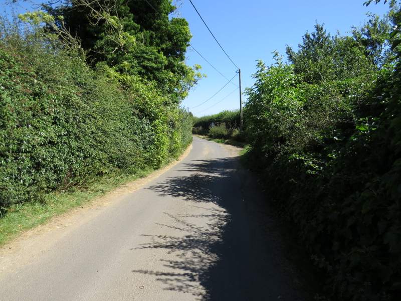
The lane through Russell's Water, just after the Five Horseshoes pub
The start of the path on Russell's Water Common
Russell's Water Common
Russell's Water Common
Russell's Water Common - I left it at the corner in the middle of this photo
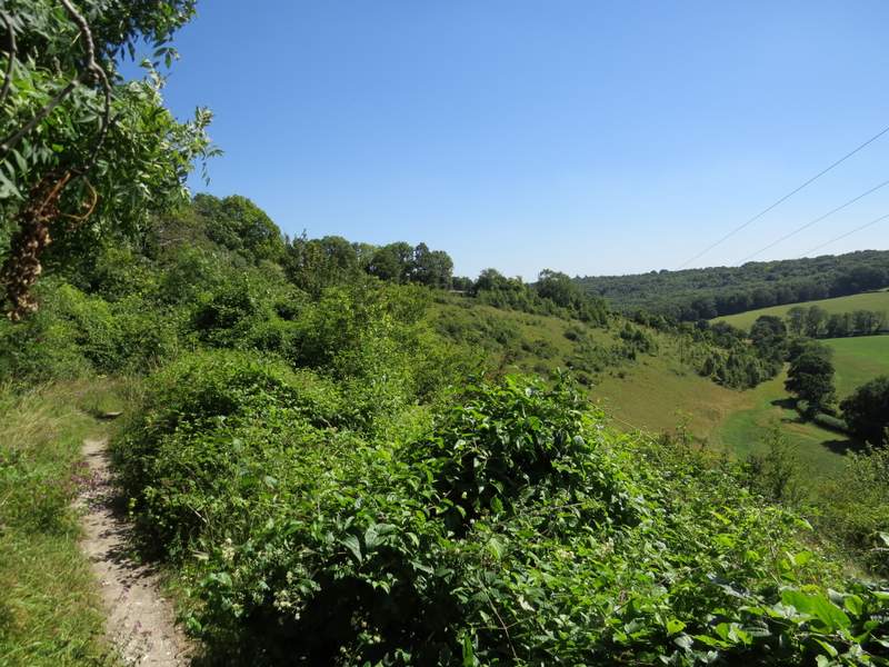
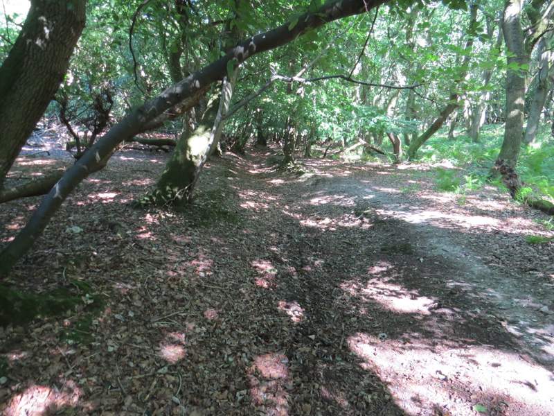
The path continued through the wood, soon dropping downhill gently until it reached a short drive and the road through Pishill at Pishill Bottom (the name of the valley here). I crossed the road and took a permissive path that went steeply uphill for a short distance through Shambridge Wood, before levelling out slightly and reaching a bridleway, where I turned right.
The path descending to the road at Pishill Bottom
The start of the permissive path, at Pishill Bottom