Pete's Walks- Coombe Hill and Kingsash (page 4 of 5)
If you are considering walking this route yourself, please see my disclaimer. You may also like to see these notes about the maps and GPX files.
In the field corner I went through an open gateway, and turned left along a farm track between hedgerows. This soon became somewhat overgrown and no farm vehicles could have been down it for a long time, but there was a reasonable path through the vegetation. At the end of the track I turned right along a lane - I was now in the hamlet of Wendover Dean. The lane soon turned left, and then I turned right down another lane that brought me to the A413 main road.
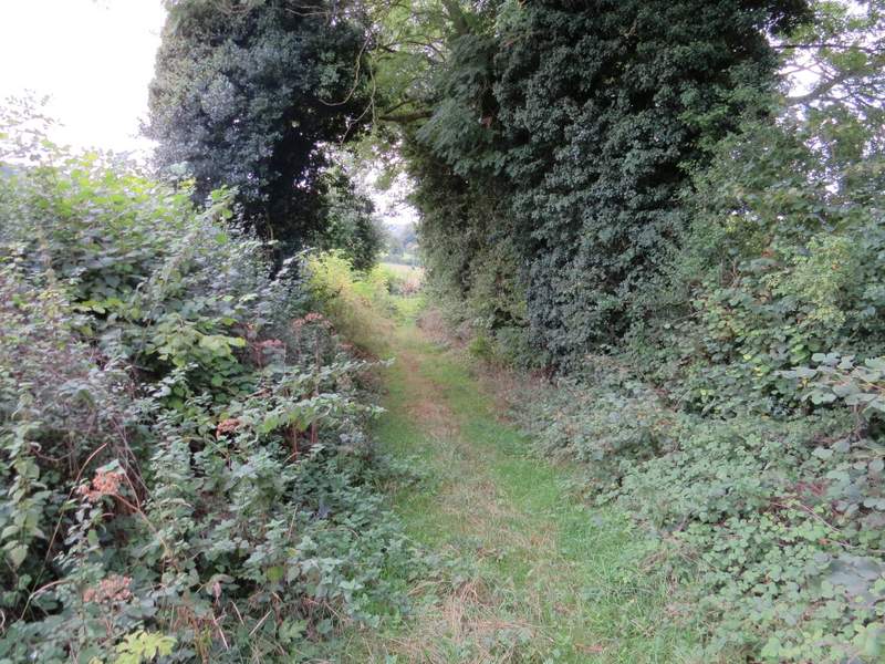
The track leading to Wendover Dean (it's clear here, but soon became quite overgrown)
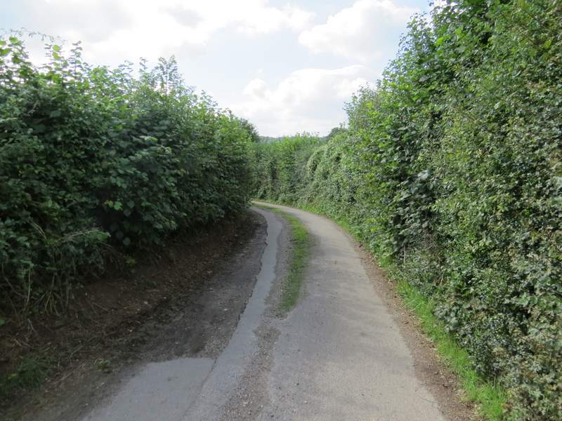
The lane in Wendover Dean
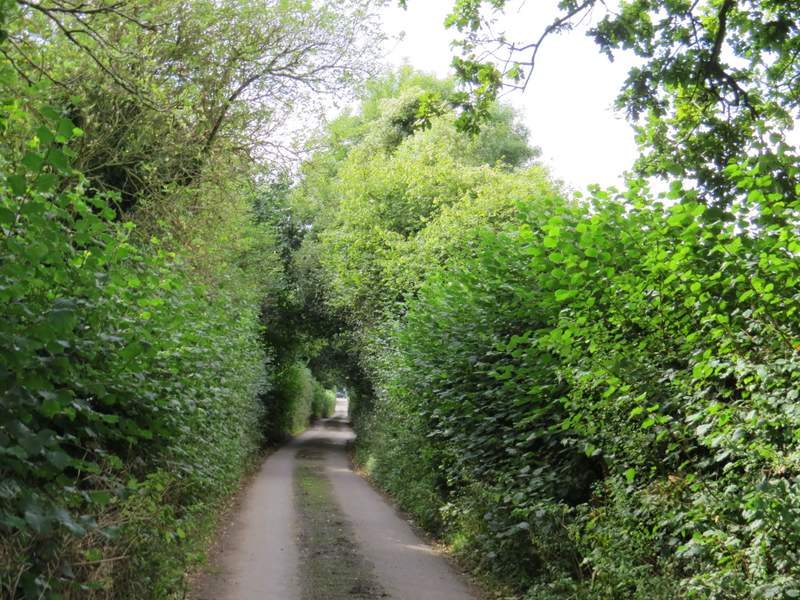
The lane after I turned right
I crossed the road and took a footpath starting a few yards to the left. This crossed a couple of empty paddocks or pastures close to Mayortorne Manor on the right. In the corner of the second of these fields I joined a track which almost immediately went over a railway bridge and then ran between hedges to reach Cockshoots Wood. As soon as I entered the wood, I took a path going right, following it through the wood until it met a bridleway, where I turned right, dropping down through the trees to reach a picnic site next to Cobblershill Lane (the car park here has been closed for a couple of years, with a barrier across the entrance, but the picnic tables are still serviceable - I stopped here to have a belated lunch, it was now just after 2pm).
The path past Mayortorne Manor
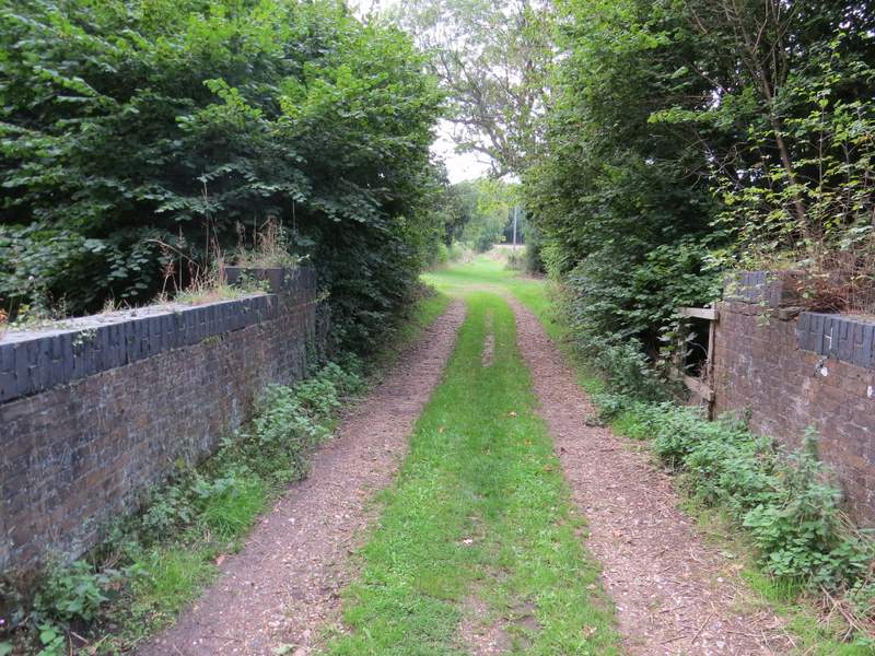
The track to Cockshoots Wood, from the railway bridge
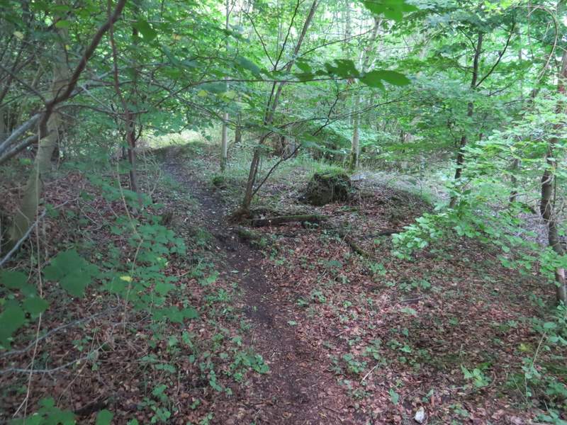
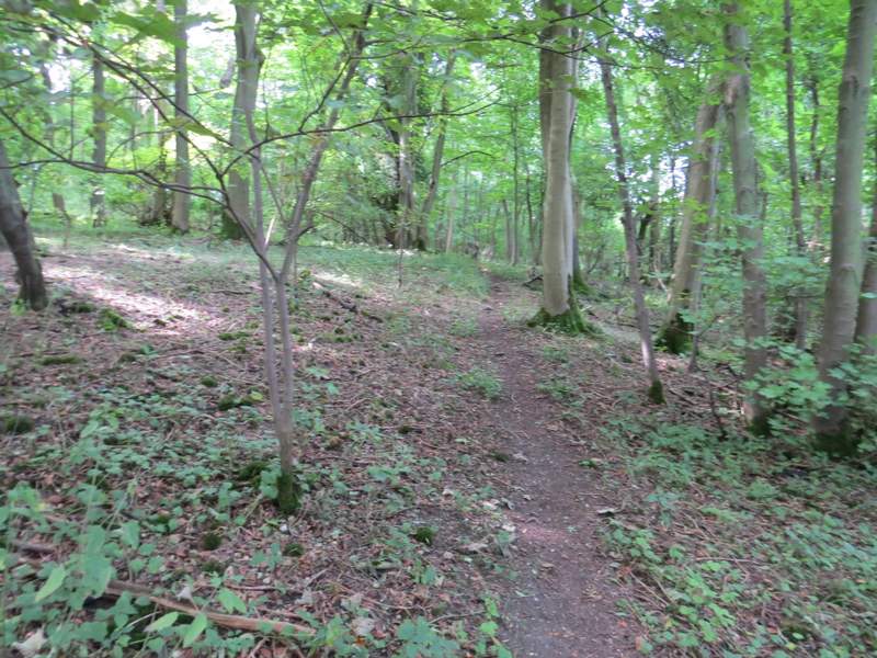
The path through Cockshoots Wood
The bridleway in Cockshoots Wood, after I turned right
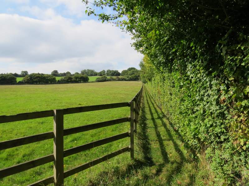
I turned right along the lane, until I reached a point where paths went off on either side. I took the path going left, crossing an artificial gallop for horses, and then following a tall well-trimmed garden hedge on my right. I then turned right, following the hedge, to reach a surfaced drive near Russells Farm. I went a few yards right, then turned left (before reaching the farmhouse) to leave the farmyard. After a few yards there was a open gateway in the hedge on my right, and here the footpath switched to the other side of the hedge, with the wooden fence of some paddocks now on my right.
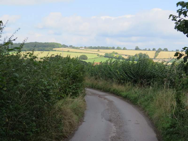
Cobblershill Lane - the buildings on the skyline are at Kingsash
The path after I turned left from Cobblershill Lane
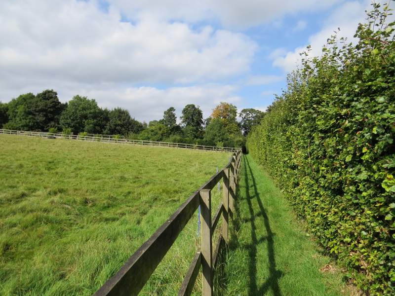
The next path after I turned right, heading to Russell Farm
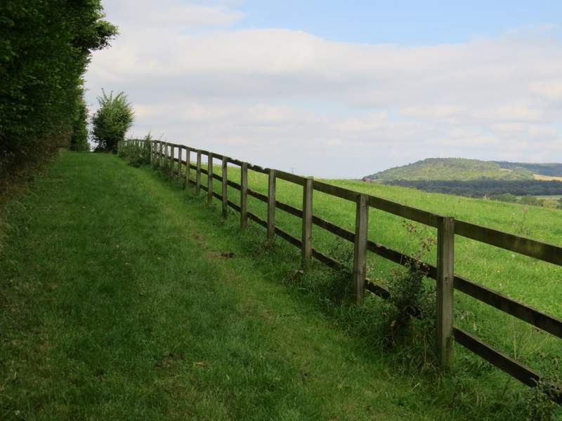
The path going north from Russell Farm (Boddington Hill on the right)
Beyond the paddocks, the path followed the edge of a field a short way then entered a wood (named Sermon's Wood on Google maps). Here I soon reached a path junction, where I went left and followed a path gently uphill for quite a distance through the wood. At the far end of the wood, the path ran a short distance between fence to reach a bridleway just south of Dunsmore.
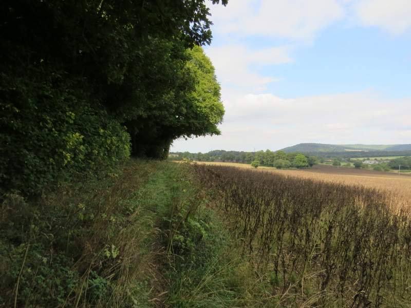
The path going north from Russell Farm
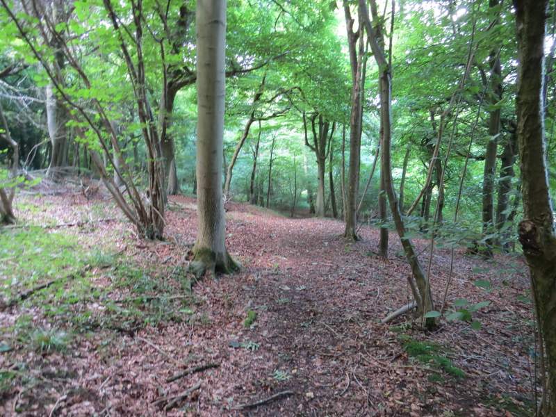
The path through Sermon's Wood
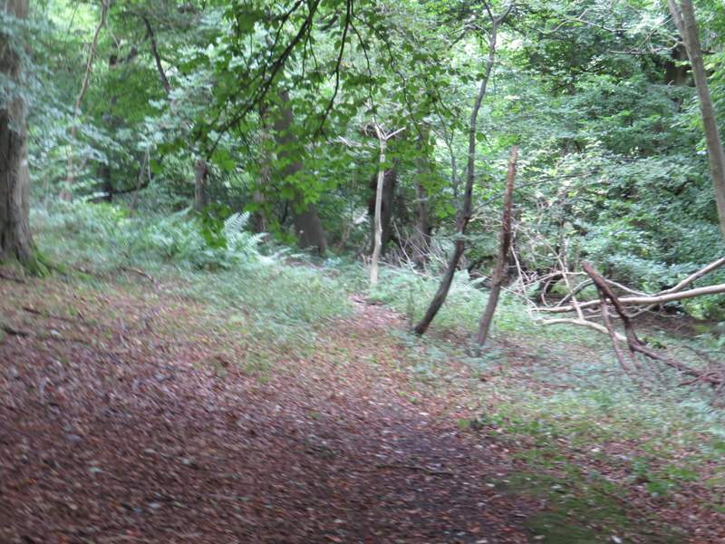
The path through Sermon's Wood - sorry for the blurry photo!
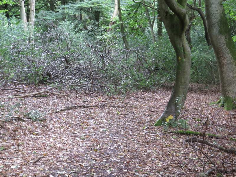
The path through Sermon's Wood
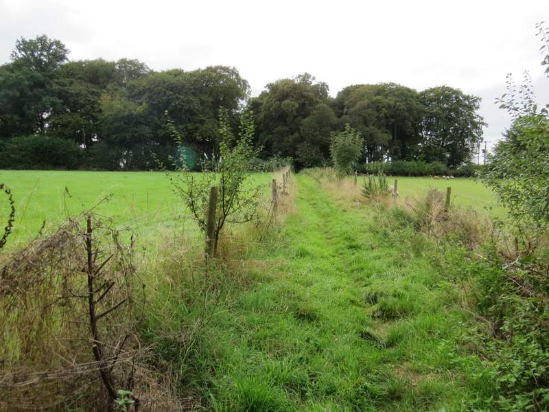
The path continuing from Sermon's Wood to the bridleway south of Dunsmore