Pete's Walks- Coombe Hill and Kingsash (page 5 of 5)
If you are considering walking this route yourself, please see my disclaimer. You may also like to see these notes about the maps and GPX files.
I turned left for a few yards, then took a footpath on the other side of the bridleway. This ran between fences initially, and after two or three hundred yards it brought me to another bridleway. I turned right and followed it downhill through Scrub Wood. On reaching the bottom of a valley I turned right along a bridleway that soon brought me to some buildings near Old Dunsmore Farm. Here I turned left, following a drive and then track which brought me to Fugsdon Wood.
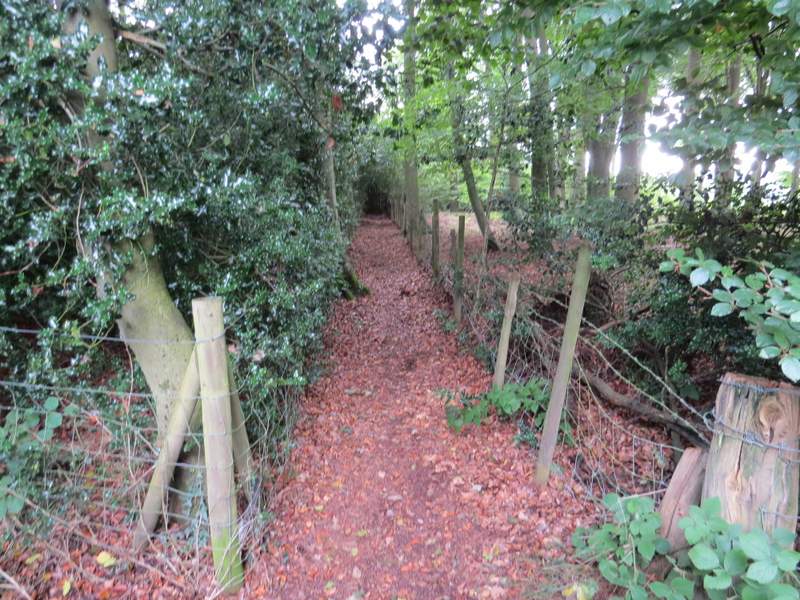
The start of the path the other side of the bridleway
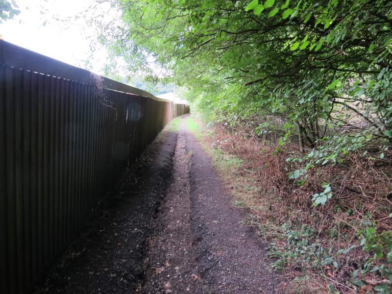
The bridleway descending through Scrub Wood
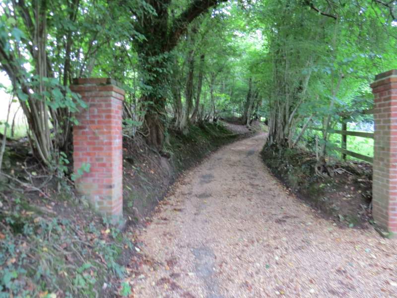
The bridleway to Dunsmore Old Farm
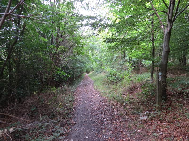
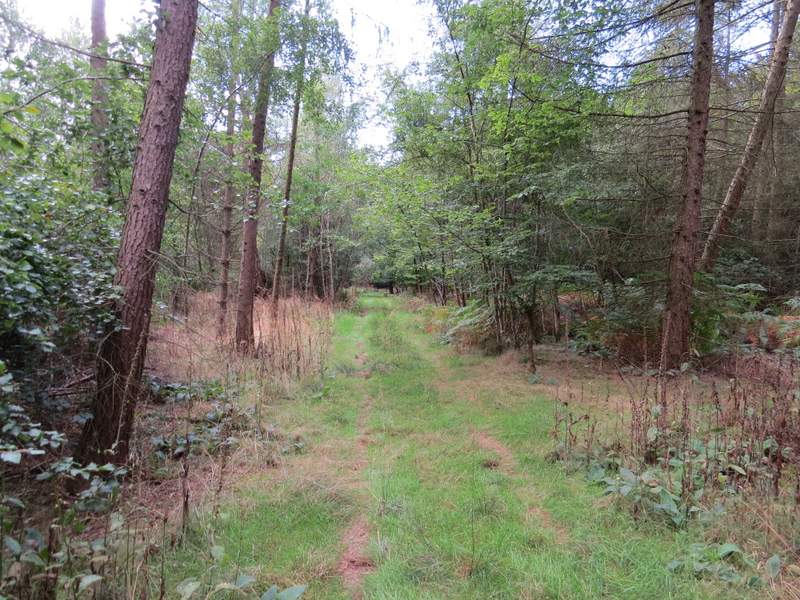
The bridleway to Fugsdon Wood
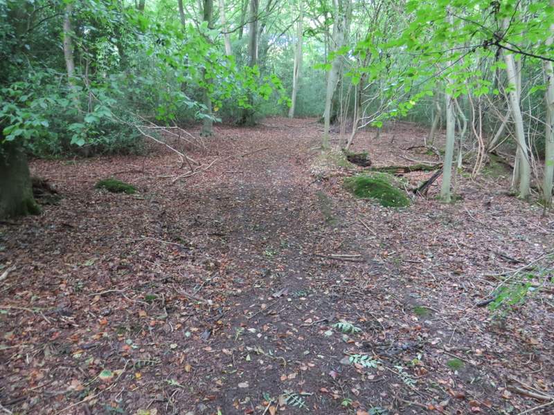
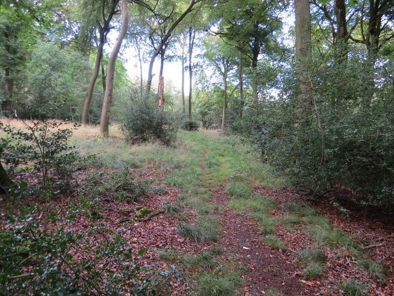
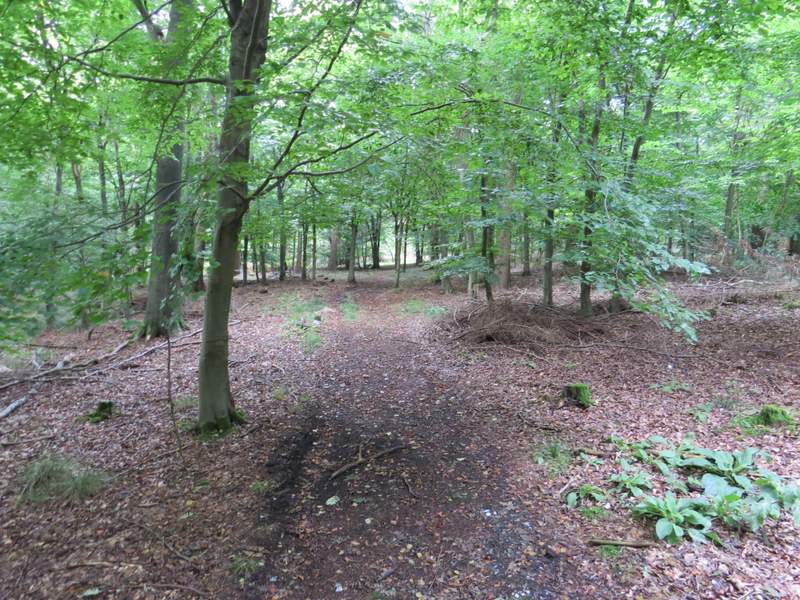
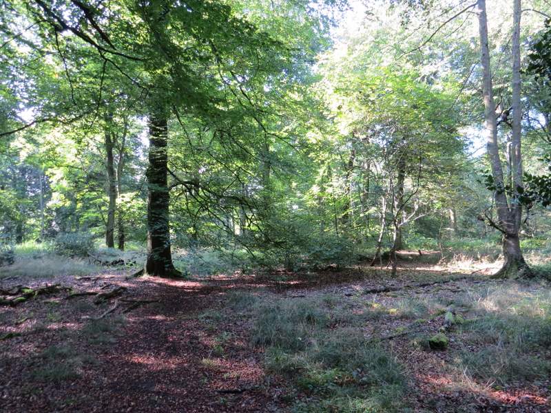
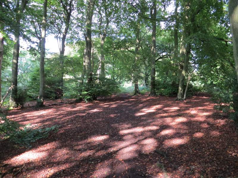
A short way into the wood I turned right, following a path slightly uphill through the trees. When this path ended at a path T-junction I turned left, this path soon bearing slightly right. I followed this path through Fugsdon Wood for some distance, eventually going straight on over a path crossroads (I walked the path I crossed here on last Sunday's walk). A little further on I went slightly left at a path junction (the path going right here isn't shown on the OS map, which just shows the path I was on going more or less straight on here). I think I had now reached Linton's Wood, and continued through it for almost another half mile.
The path after I turned right from the bridleway
Further along the same path
The path after I turned left at a T-junction
The footpath continuing through Fugsdon Wood
The footpath continuing through Fugsdon Wood
The footpath continuing through Fugsdon Wood - this is just after the path crossroads, and just before the junction where I went left (the OS map does not show this junction, the path goes more or les straight on)
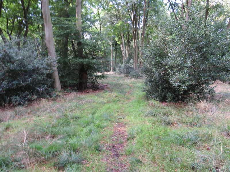
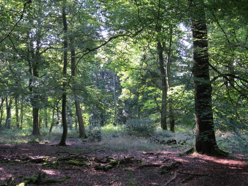
The path now in Linton's Wood
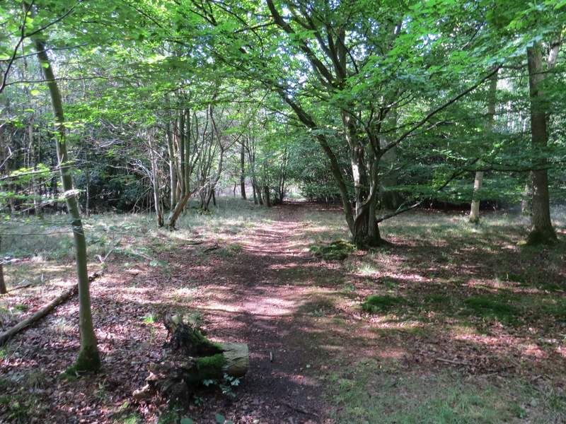
The path in Linton's Wood
The path in Linton's Wood
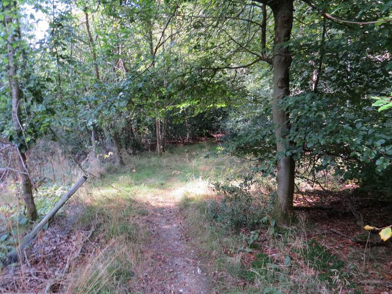
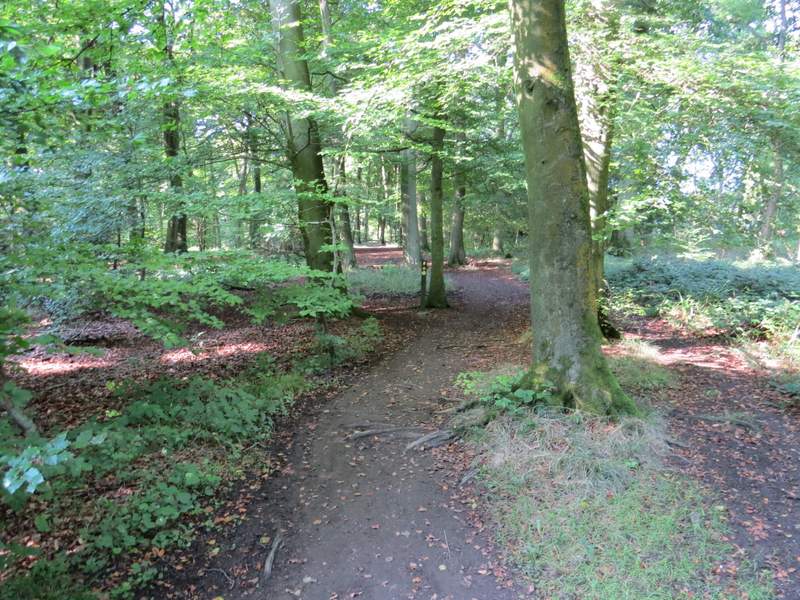
The path in Linton's Wood (the path doesn't seem at all obvious in the photo, but it was - honest!)
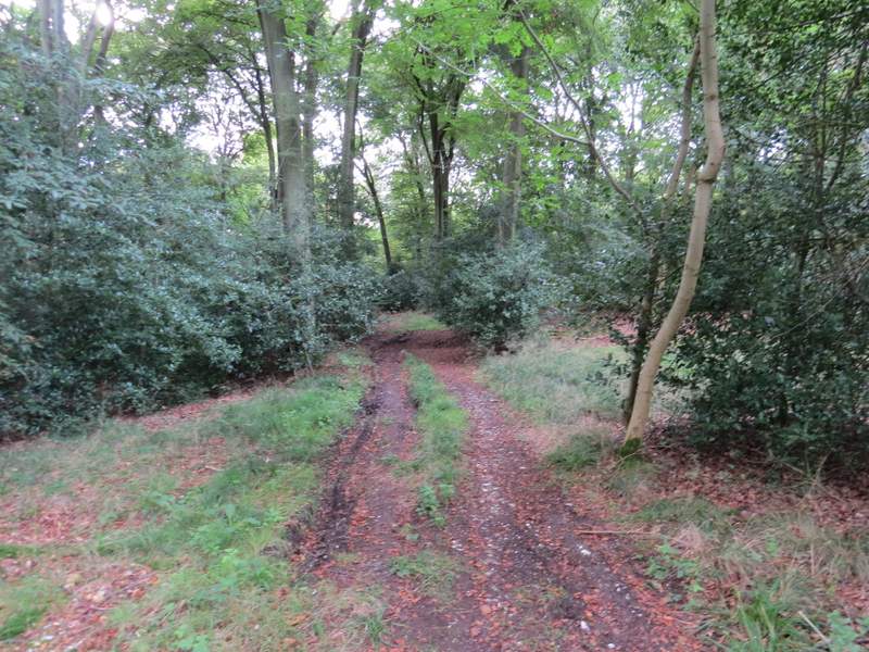
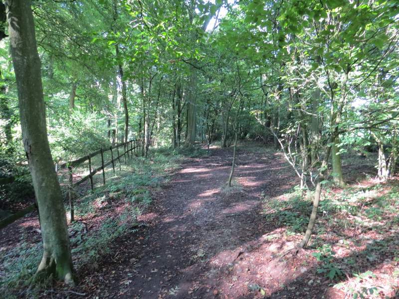
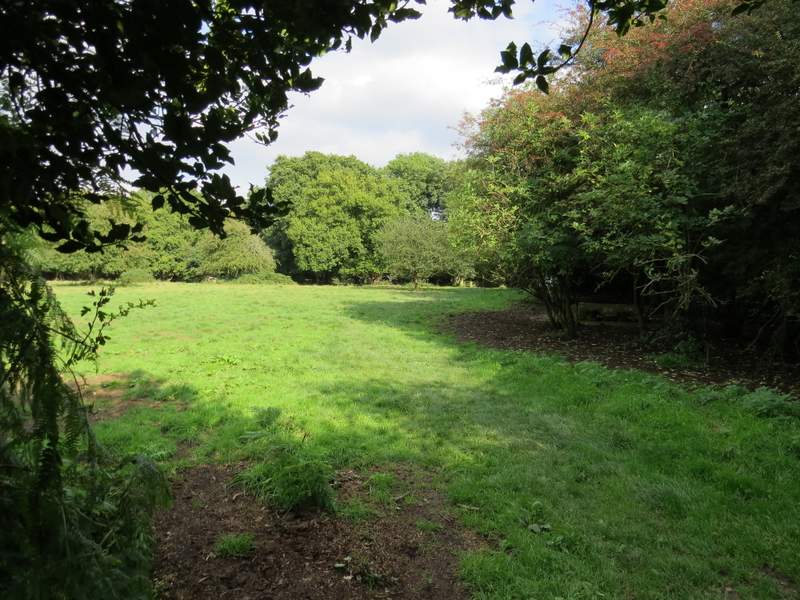
Eventually I reached a junction where I turned right, back on the Ridgeway once again (more white acorn signs and Ridgeway finger posts). Still in Linton's Wood, I followed the clear path through the trees - after a while it switched to the right of some wooden railings. When I reached a road (the one to the Coombe Hill car park), I went right for a couple of hundred yards or so, then stayed on the Ridgeway when it went left, running through another wood but close to a field on the right. When I reached a metal kissing-gate, I went through it, then left the Ridgeway by turning right and following a path close to a hedge on my right that soon led me back to the car park where I'd started.
The Ridgeway in Linton's Wood
The Ridgeway in Linton's Wood, approaching the minor road
The path on the other side of the minor road
The path back to the Coombe Hill car park
This was a very pleasant walk, I've done it three times now and really liked it each time. It involves a lot of woodland walking, a stretch of field paths and a short bit of chalk downland over Coombe Hill and Bacombe Hill. There are nice views in several places - I think I slightly prefer the route in this clockwise direction as you get good views ahead of you on both the downhill sections. Neither the two uphill and two downhill sections are very steep (though I found the section up Hale Lane, past Boddington Hill and then to the visitor centre rather tiring today, for some reason).