Pete's Walks- Cowleaze Wood, Ibstone, Chinnor (page 4 of 6)
If you are considering walking this route yourself, please see my disclaimer. You may also like to see these notes about the maps and GPX files.
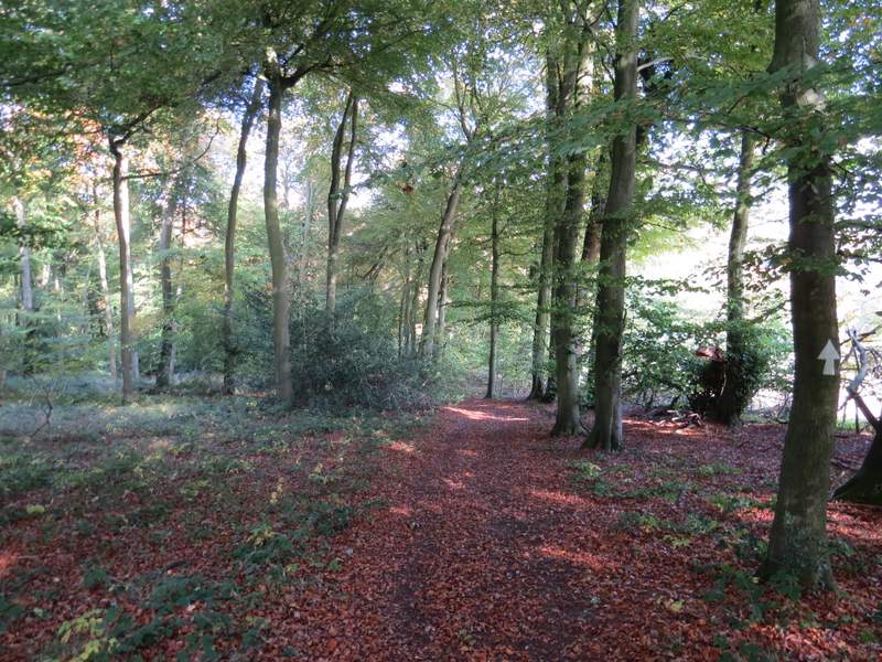
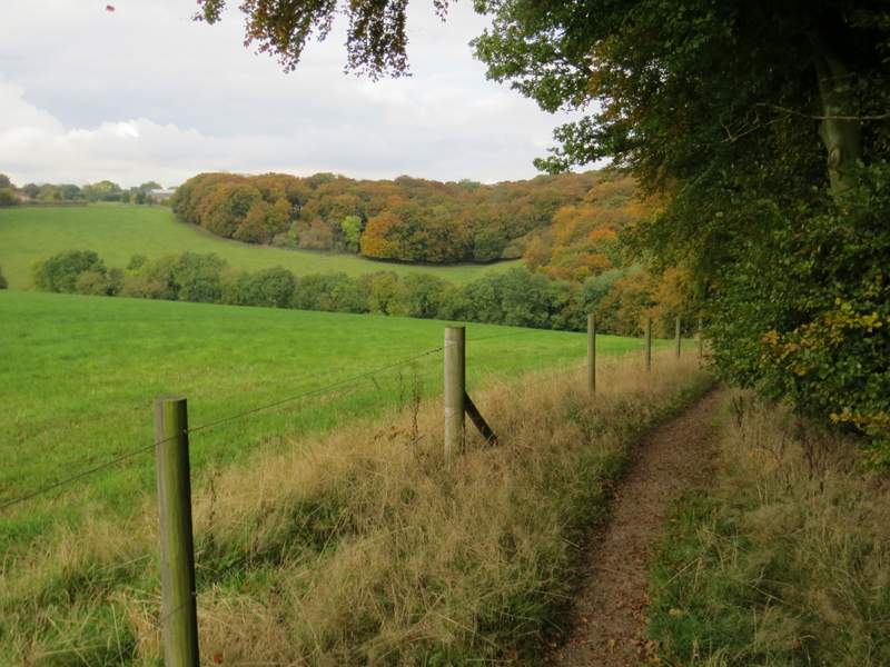
I crossed the main road and continued down a short street opposite, just left of a Fish and Chip shop and another shop named 'Flaming Grate' (it sells wood-burning stoves and the like!). I followed this street as it curved right, then I turned left immediately after a pub on the left. I went straight on down this street, which soon left the village, becoming a private road. I followed this private road for about half a mile then, immediately before it ended at the gates of Hallbottom farm, the public footpath went left. It ran between wooden paddock fences either side, then went gently uphill through a field of stubble (there were lots of beautiful Field Pansies alongside the path here). The path then followed a hedge on my right through the next field, before dropping downhill as it ran just inside the eastern edge of Lott Wood.
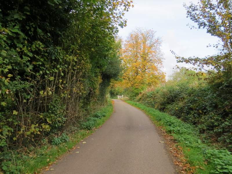
The private road from Stokenchurch to Hallbottom Farm
View right from the private road from Stokenchurch to Hallbottom Farm
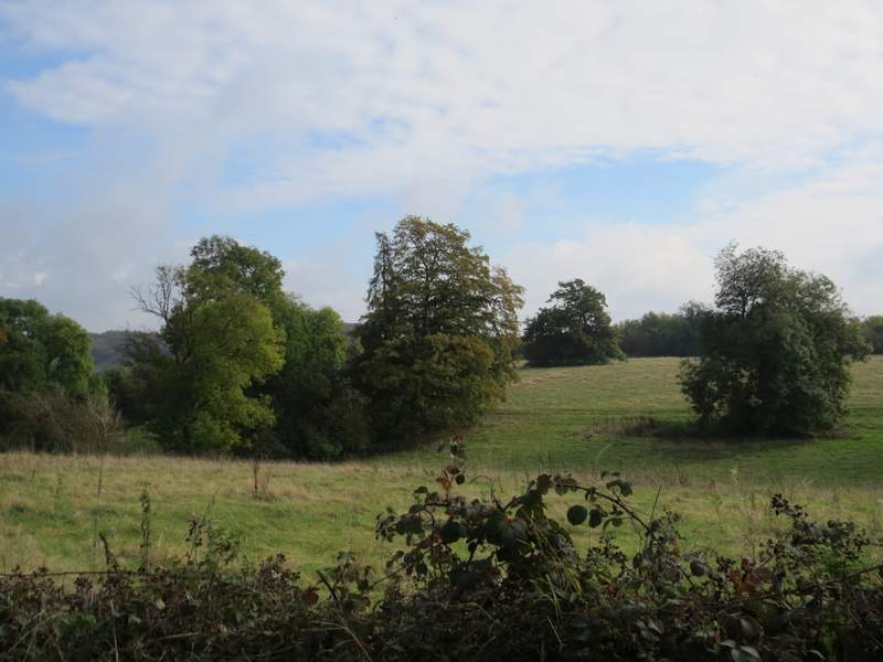
Another view right from the private road from Stokenchurch to Hallbottom Farm
The private road from Stokenchurch to Hallbottom Farm
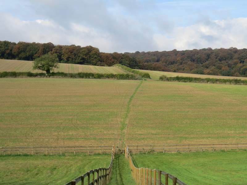
The path from near the entrance to Hallbottom Farm, heading to Lott Wood
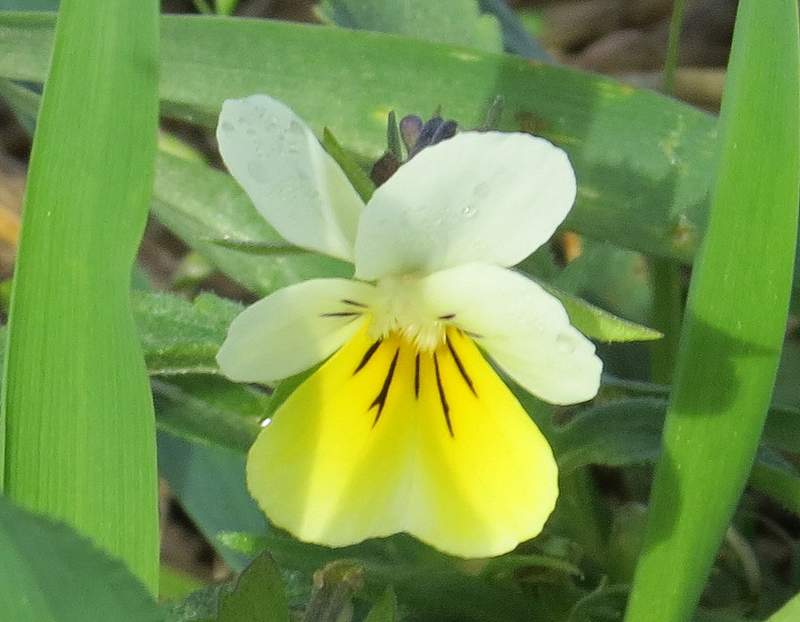
Field Pansy - there were a lot of these beside the path through the middle of the field of stubble in the previous photo
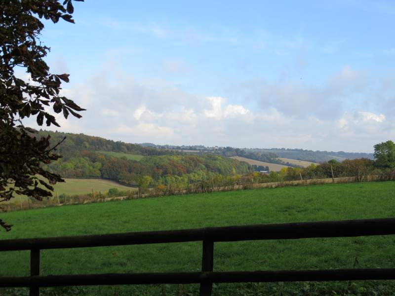
View right from the path to Lott Wood
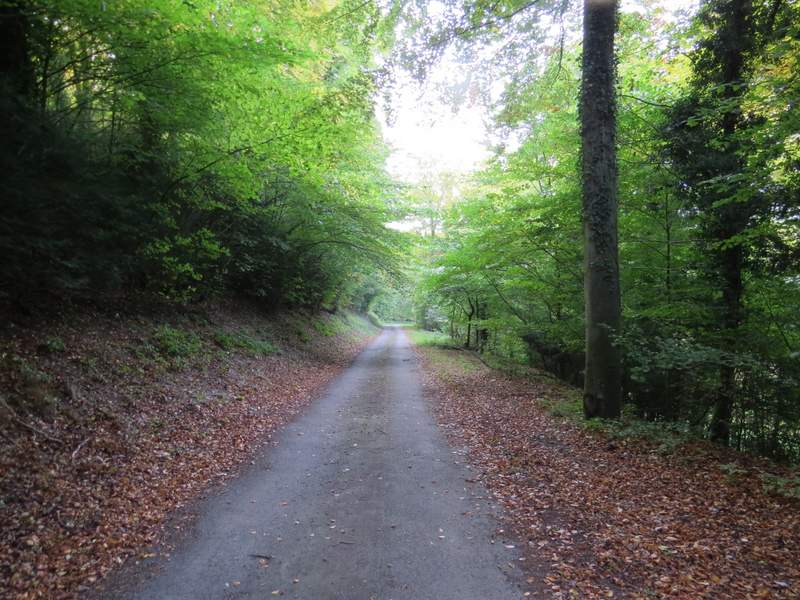
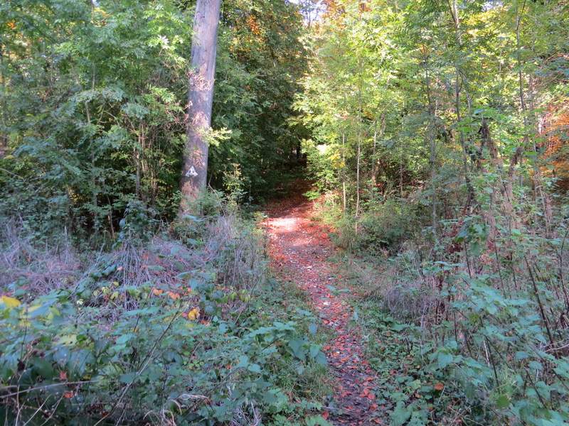
The path through Lott Wood
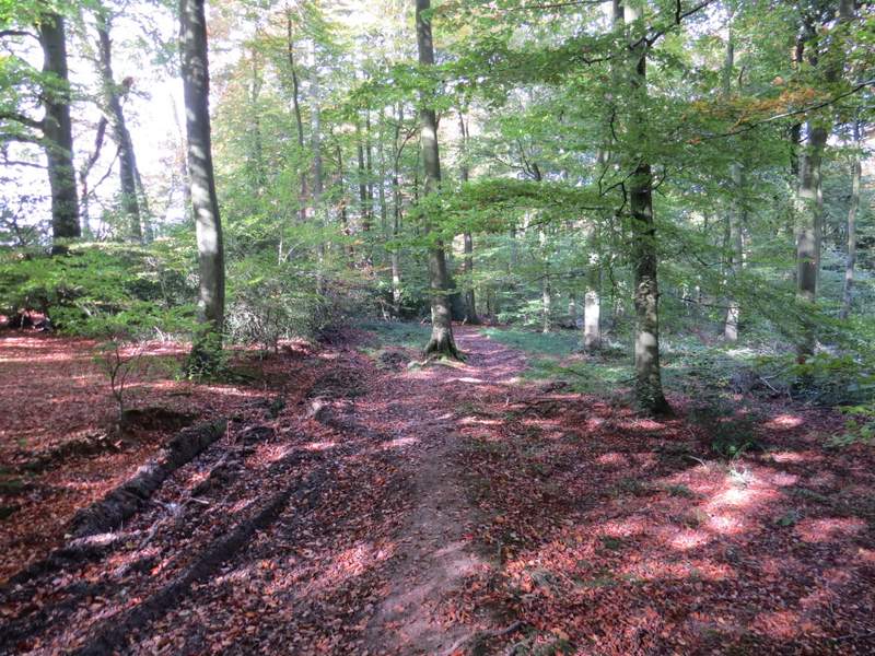
In the valley bottom I turned left along a bridleway. After a short distance I needed to turn right onto another bridleway, but I initially missed the turn and so had to retrace my steps (the turn isn't marked by a waymark or fingerpost, but a path through the undergrowth is fairly obvious and there is an arrow on a tree). The path went steeply uphill through what was now Crowell Wood, soon crossing a forestry track, but this uphill wasn't as steep nor as long as I remembered from walking the route in the opposite direction (funny how this is so often the case). The bridleway then descended very slightly for a while, before going uphill again (now in a groove or possibly a sunken lane), to reach the hamlet of Sprigs Alley
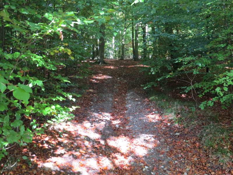
The start of the bridleway through Crowell Wood (when I turned right - I initially missed this junction)
The bridleway through Crowell Wood
The bridleway through Crowell Wood
The bridleway through Crowell Wood
The bridleway through Crowell Wood
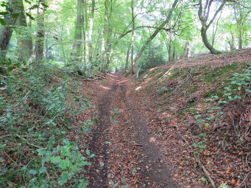
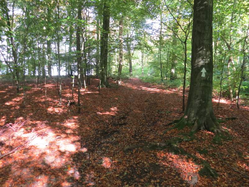
The bridleway through Crowell Wood - now heading uphill towards Sprig's Alley
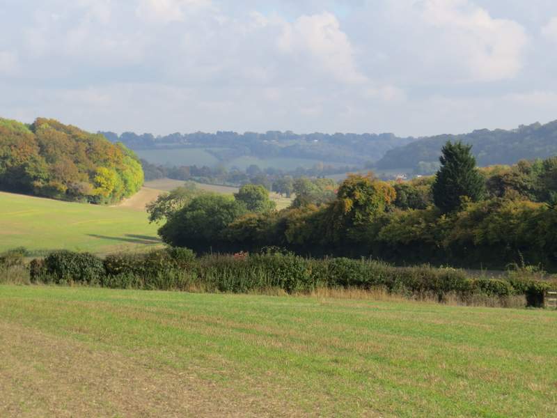
I turned right along the lane (named Sprigs Holly Lane, according to the OS map), but after about a quarter of a mile I took a bridleway on the right. This passed between a couple of properties and was then soon running alongside Venus Wood on my right, with a very nice view ahead over fields to more woods.
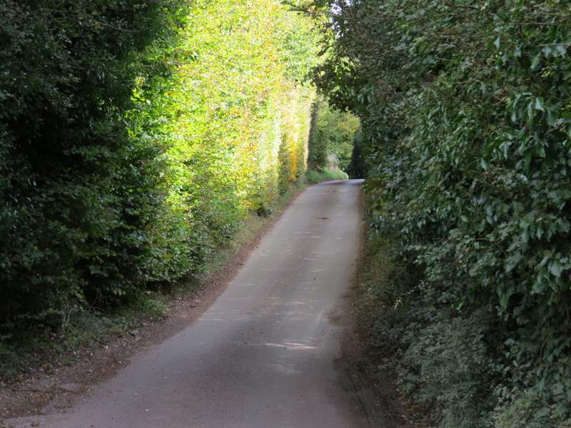
The lane through Sprig's Alley (Sprigs Holly Lane)
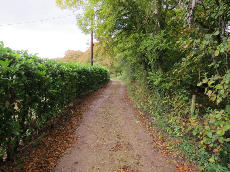
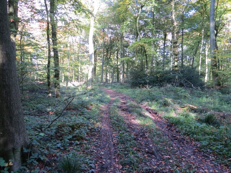
Near the start of the bridleway going north from Sprig's Alley
The bridleway going north from Sprig's Alley, running beside Venus Wood