Pete's Walks- Cowleaze Wood, Ibstone, Chinnor (page 5 of 6)
If you are considering walking this route yourself, please see my disclaimer. You may also like to see these notes about the maps and GPX files.
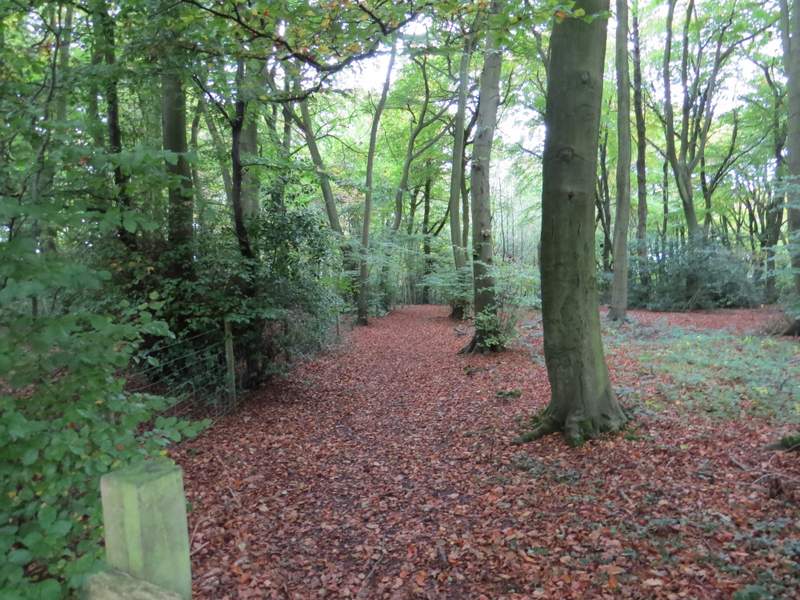
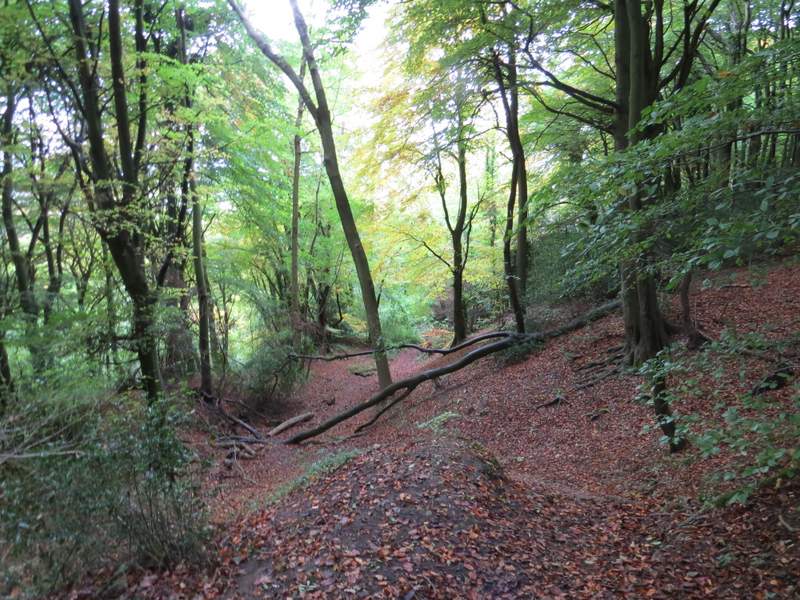
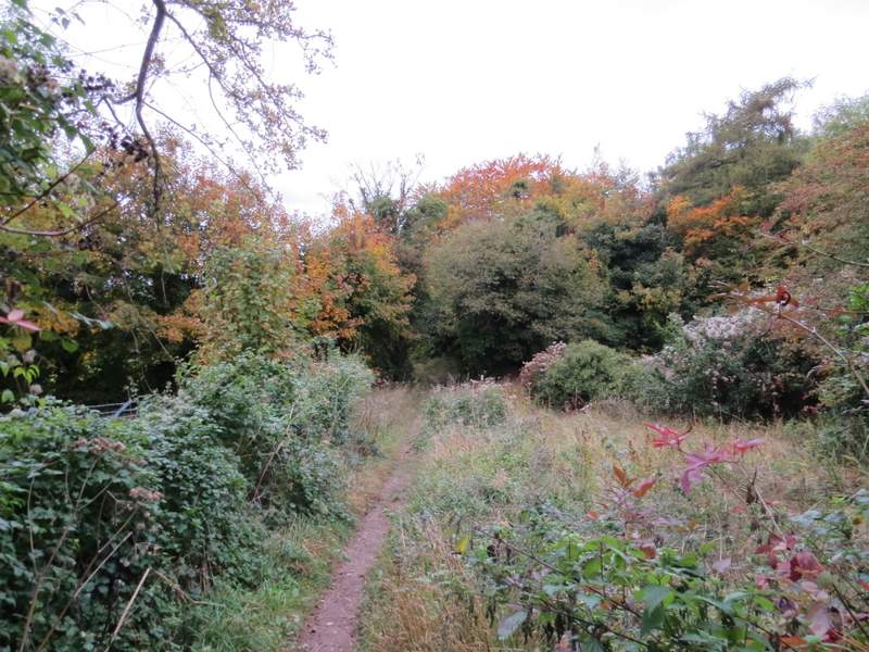
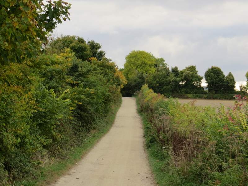
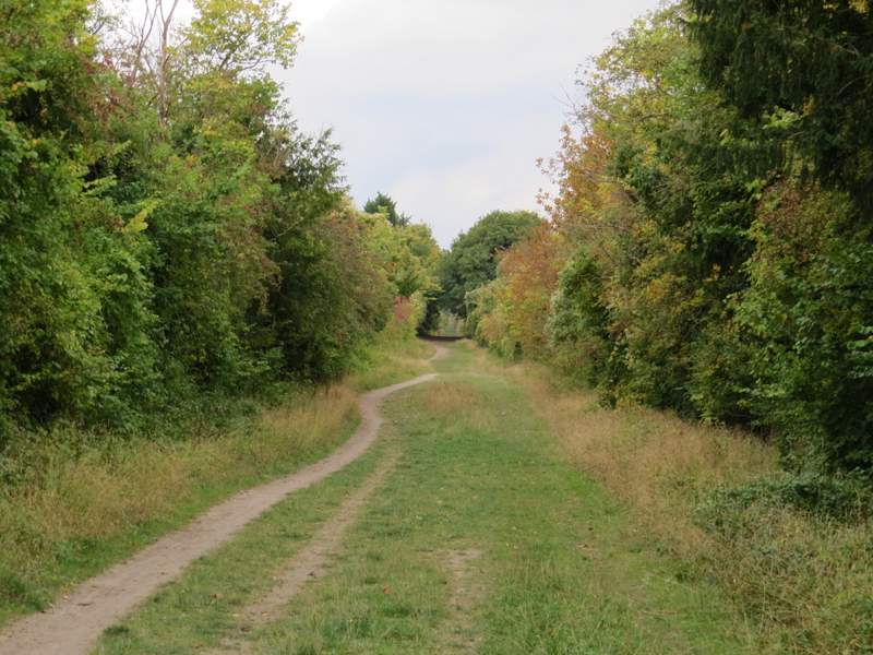
The bridleway descended steadily into a valley. At the bottom of the valley I went straight on where another bridleway went right. It was quite a steep climb initially up through what was now Sunley Wood. The gradient soon eased, but the uphill seemed to still go on for quite a while, now in a wood named Ballfield Shaw and with paddocks or fields on my right. At the end of the bridleway, I turned left along a minor road. After about a quarter of a mile, I turned right along Hill Top Lane.
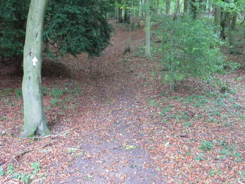
The bridleway starting to go uphill through Sunley Wood
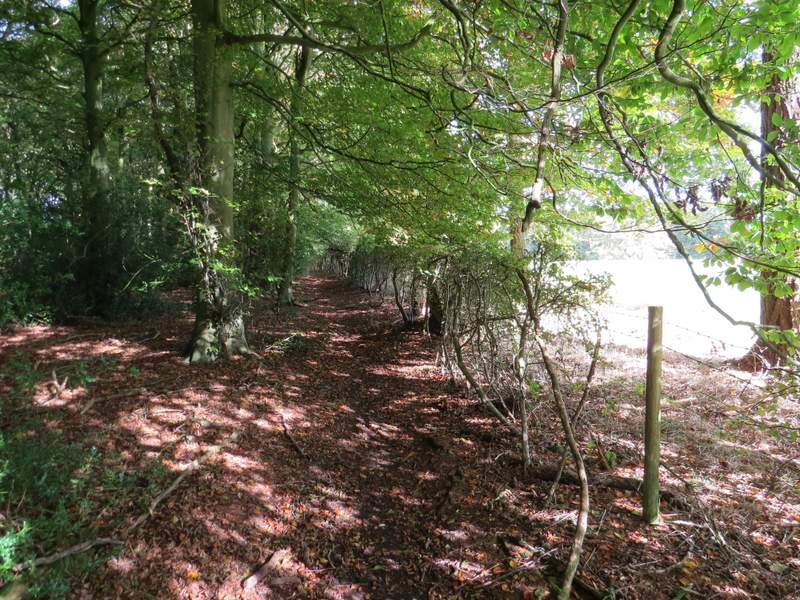
The bridleway continuing through Ballfield Shaw
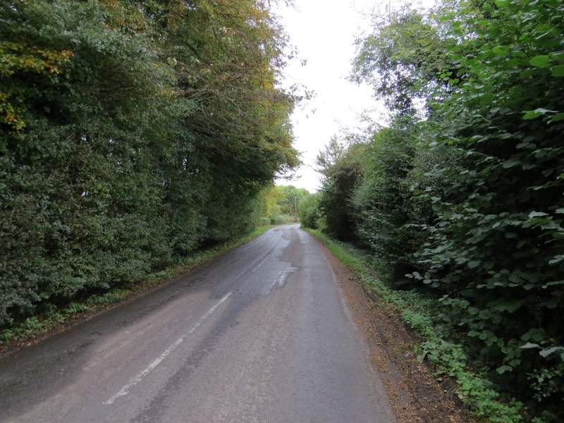
The minor road
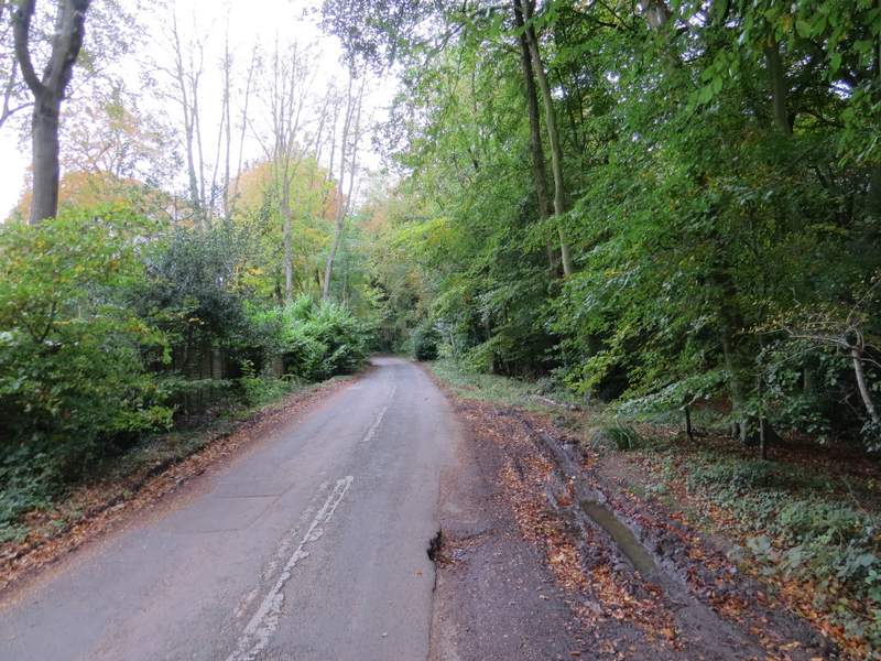
Hill Top Lane (which goes to a small car park on Chinnor Hill)
I followed the lane for about another quarter of a mile, then took a footpath on the left (opposite a 30mph sign). This initially followed a fence on my left through a wood, and was soon going downhill - I was now descending Chinnor Hill, part of the Chilterns escarpment. After a while the path went down some 'steps' and continued downhill along what was possibly an old sunken lane.
The start of the path going left from Hill Top Lane
The path continuing down the Chiltern escarpment
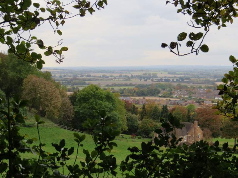
A view left from the path, over Chinnor
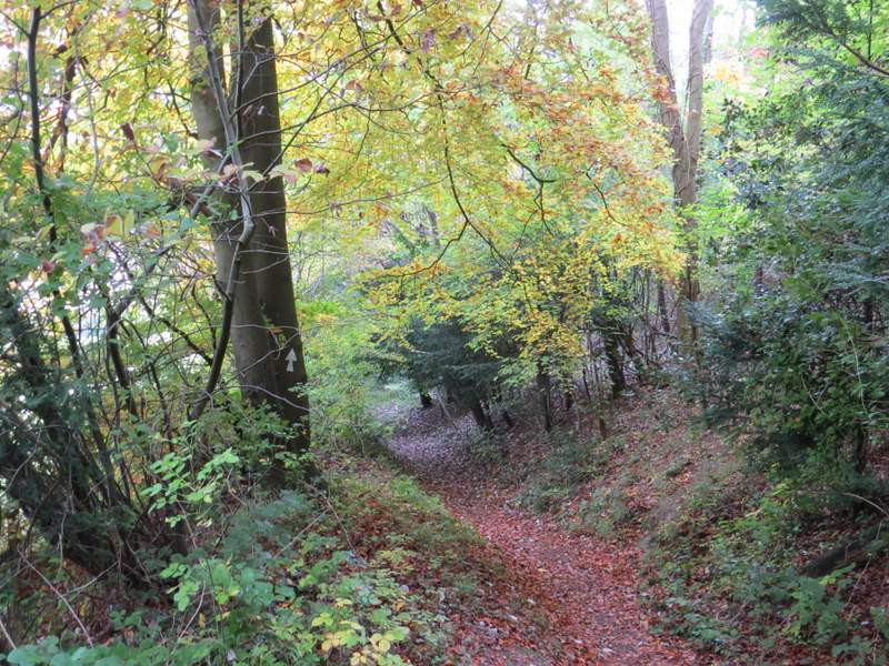
The path continuing down the Chiltern escarpment
The path continuing down the Chiltern escarpment
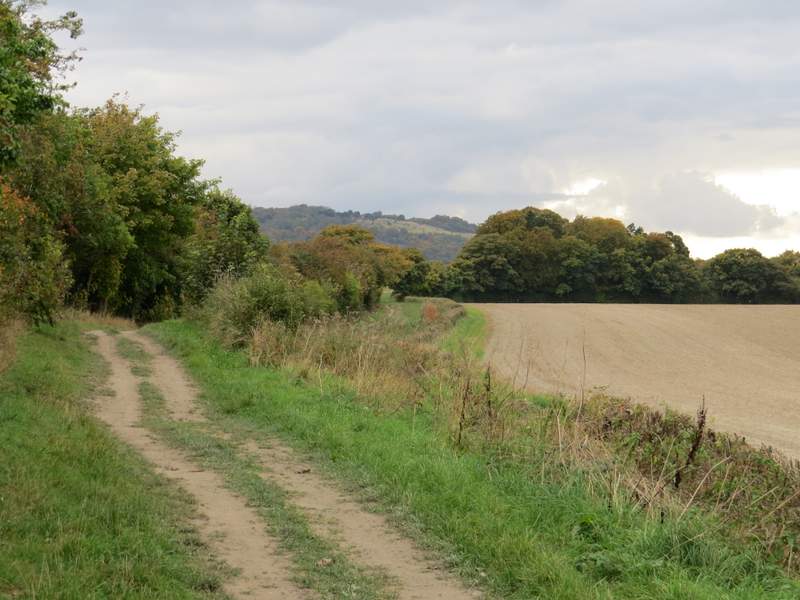
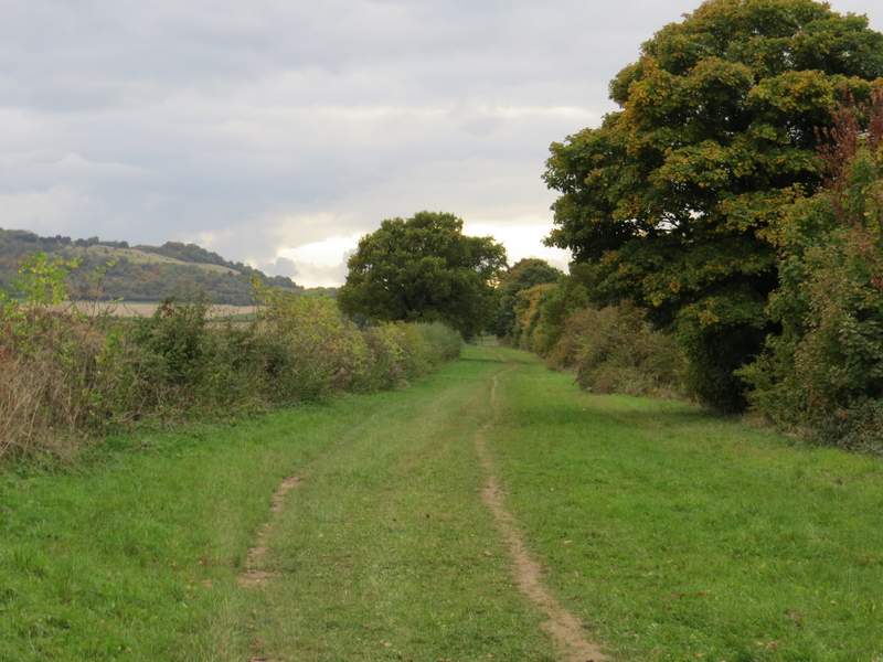
I followed the path until it met a roughly surfaced drive, where I turned left, back on the Ridgeway national trail again. I could now see Chinnor church across the fields on my right. When the drive ended at a minor road (the one I'd walked briefly before) I crossed over and continued along the Ridgeway, which was now a broad strip of grass with tall hedges either side, behind which were a number of flooded chalk pits that had belonged to the cement works that used to operate here. Beyond the chalk pits, the Ridgeway continued southwestward, now with mainly ploughed fields beyond the hedges either side. Soon I could see across the fields on my left to the Chiltern escarpment, the steep slope being densely wooded here.
The Ridgeway, near Chinnor, from near where I joined it and turned left
The Ridgeway near Chinnor
The Ridgeway near Chinnor
The Ridgeway continuing southwest towards Beacon Hill
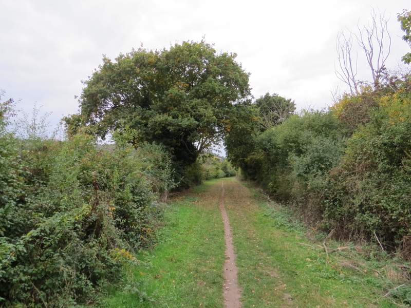
The Ridgeway continuing southwest towards Beacon Hill
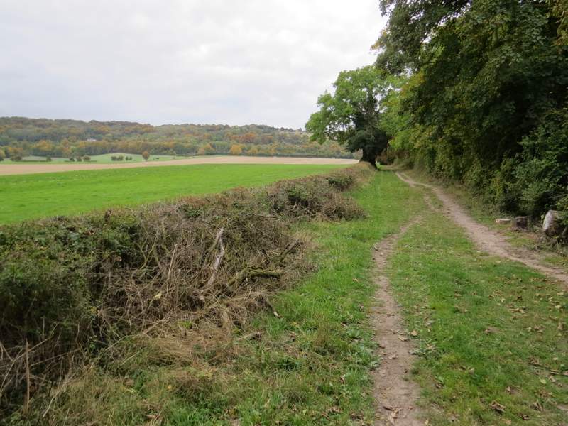
The Ridgeway continuing southwest towards Beacon Hill