Pete's Walks- Cowleaze Wood, Ibstone, Chinnor (page 6 of 6)
If you are considering walking this route yourself, please see my disclaimer. You may also like to see these notes about the maps and GPX files.
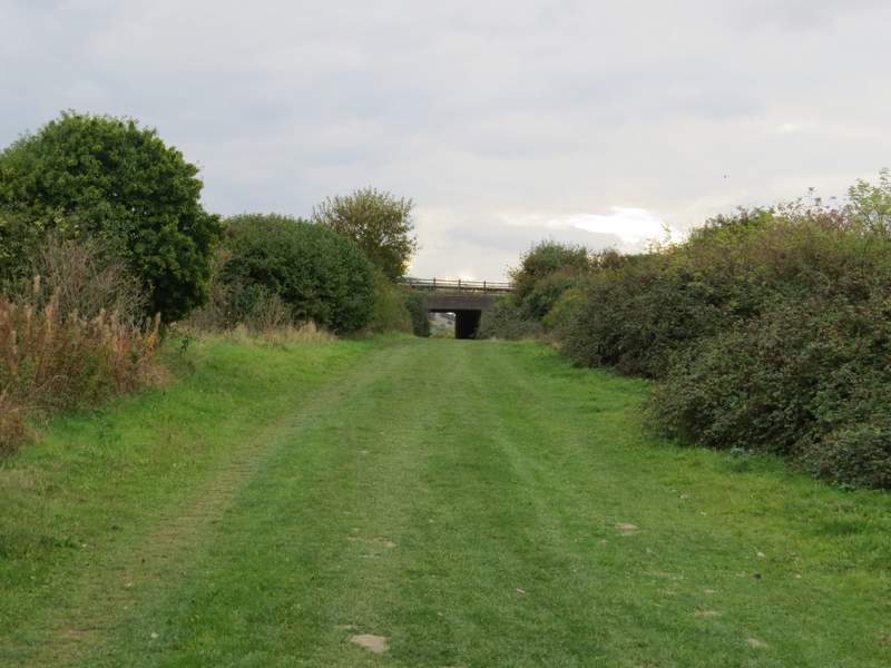
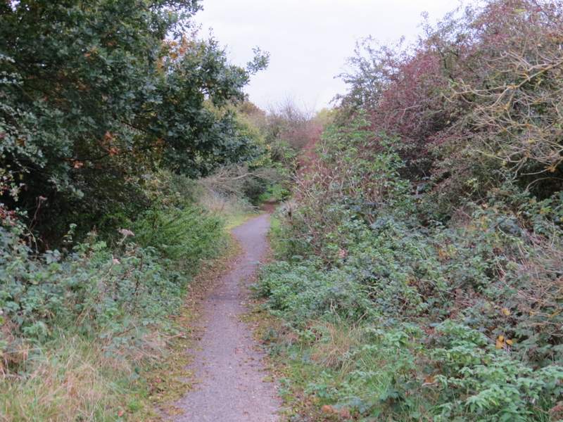
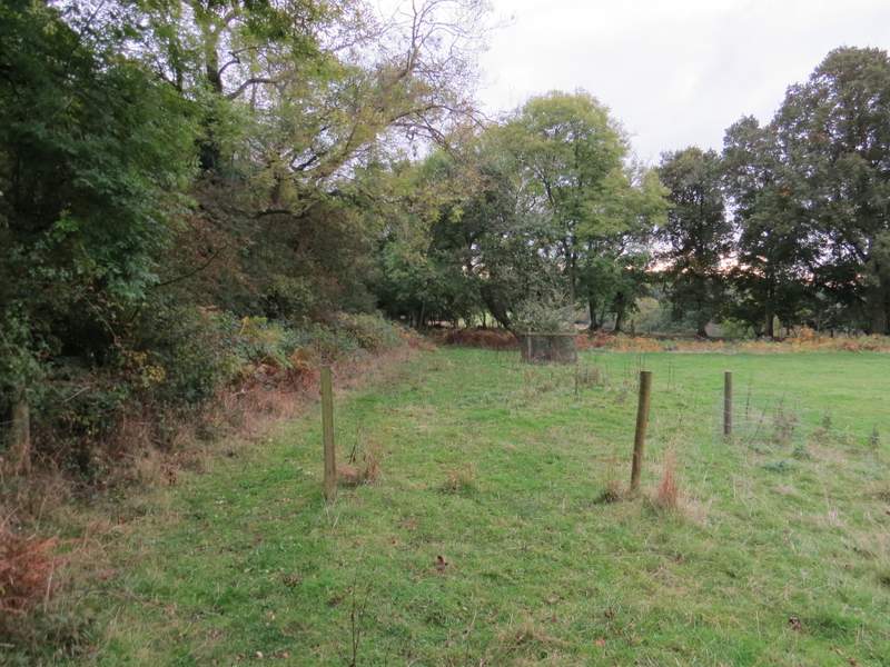
I continued along the Ridgeway gradually getting closer to Beacon Hill, which I could see jutting out from the escarpment ahead of me. Just before the Ridgeway reached the foot of Beacon Hill, it crossed the A40. It then continued through trees for about half a mile as it passed Beacon Hill, and then it came to a bridge under the M40. After another couple of hundred yards or so, I finally left the Ridgeway (after almost an hour's walking) by turning left along a lane leading to Hill Farm.
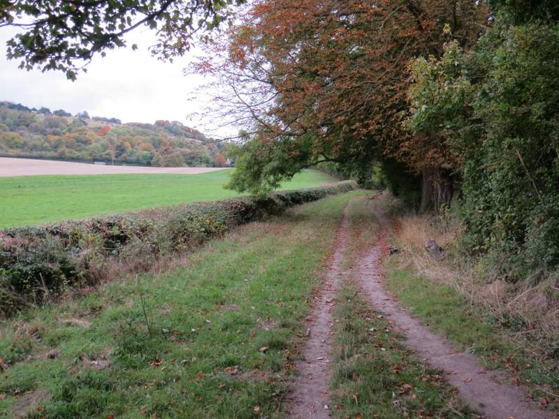
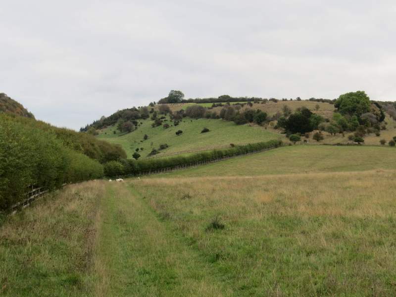
The Ridgeway continuing southwest towards Beacon Hill

The Ridgeway as it passes the foot of Beacon Hill
The Ridgeway approaching the M40 bridge
The Ridgeway immediately after the M40
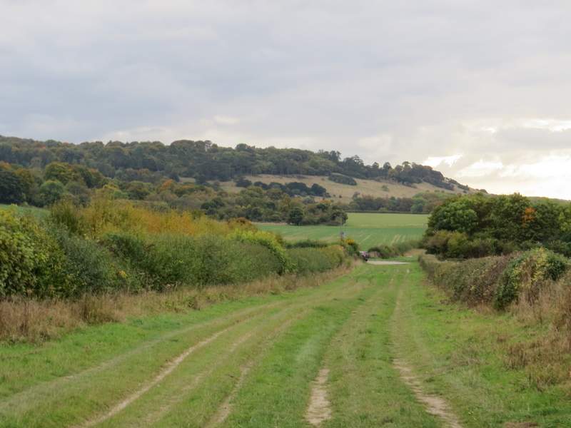
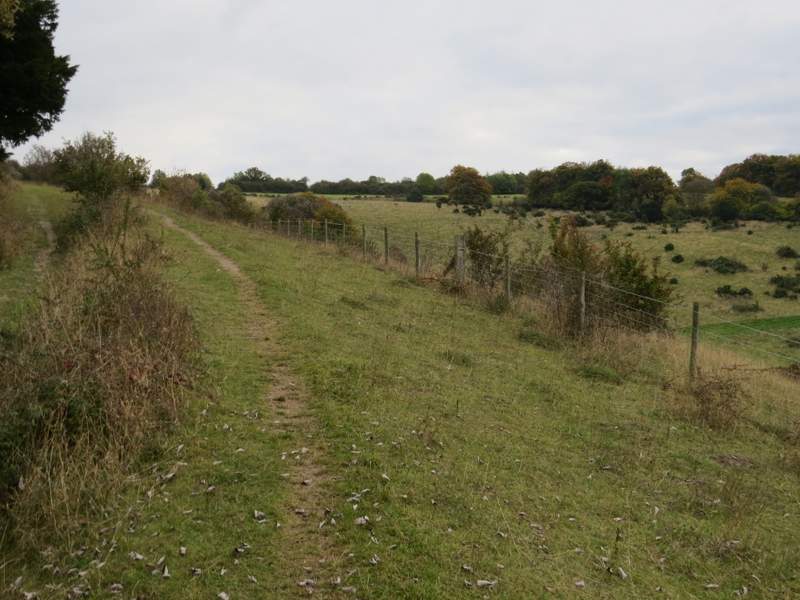
The lane to Hill Farm
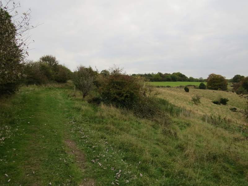
When I reached the gates to Hill farm, I took a path bearing slightly left (the lane continued as a track called Hill Road - I hadn't realised this was a public right of way, I'll have to walk it sometime as it would be a more direct route back to the Cowleaze Wood car park). The path I took followed a hedge on my left through a large sheep pasture, then continued uphill through part of the Aston Rowant nature reserve. All together this was a pretty long climb (by Chiltern standards), but it was never very steep and the chalk downland scenery was very attractive (despite the noise from the M40, just a short distance to my left).
The path from Hill Farm - this scene isn't quite as nice as it looks, the gap on the left is where the M40 route was gouged out of the Chiltern escarpment
The path from Hill Farm, now in the Aston Rowant nature reserve (which is split in two by the M40)
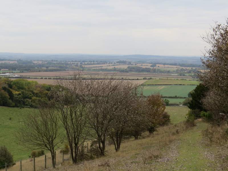
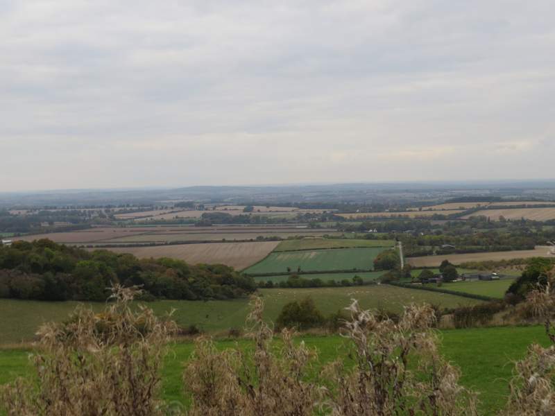
Looking back, over part of the Oxfordshire Plain
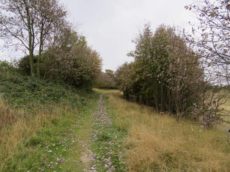
The path continuing through the Aston Rowant nature reserve
The path continuing through the Aston Rowant nature reserve
At the top of the slope the path continued along the left edge of a field, beyond which I came to a path junction where I took the rightmost path, that ran parallel to a minor road on my left - the path was partly tarmac, possibly the remains of where the road ran before it was redirected when the motorway was built. After a while the path ran across the end of a narrow sheep pasture - in the corner I went through a gate and then crossed the road to return to the Cowleaze Wood car park where I'd started the walk.
Another view over the Oxfordshire Plain, after I turned right at the top of the hill
The path after I turned right at the top of the hill

The path after I turned right at the top of the hill
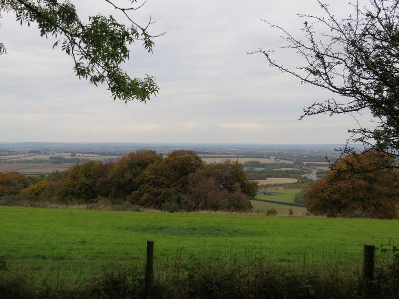
Another view over the Oxfordshire Plain
The path continuing through the narrow end of a sheep pasture - in the hedge corner, I went through a gate and crossed the road to return to the Cowleaze Wood car park
It was a shame about the foggy conditions when I set off, but I still enjoyed this walk. When I did the walk in February I was a bit dubious about repeating it in this anti-clockwise direction, because of the hour-long flat section along the Ridgeway just before the end. In the event this seemed to pass quite quickly and wasn't too bad (but I still feel an hour's flat section followed by a long uphill isn't the best way to finish a route). At 16.5 miles this was a bit longer than the 13-15 miles I usually walk, so I did feel pretty tired at the end.