Pete's Walks- Maidensgrove Common, Ibstone, Middle Assendon (page 5 of 6)
If you are considering walking this route yourself, please see my disclaimer. You may also like to see these notes about the maps and GPX files.
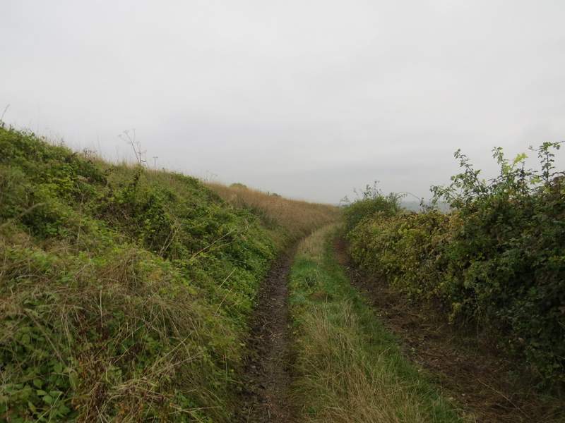
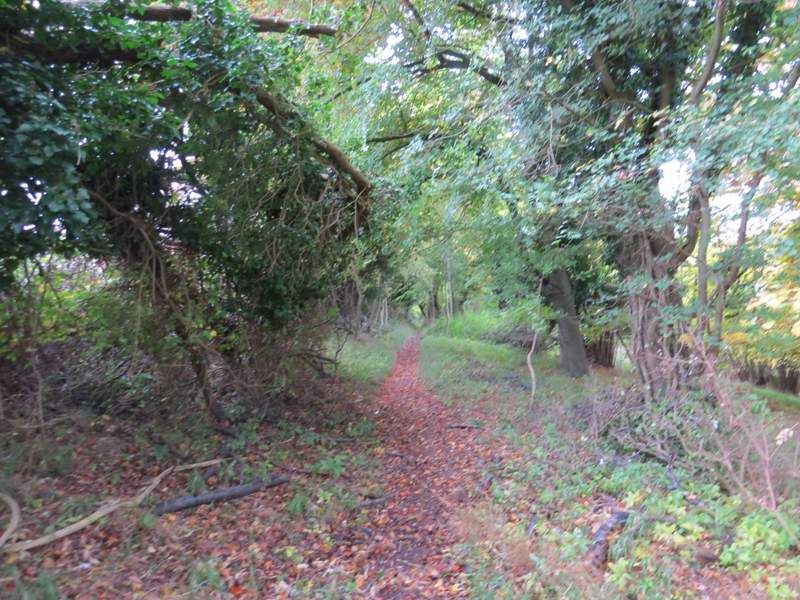
I turned left along the road through Stonor. After passing a junction where a lane went right (to Maidensgrove) I continued a little way through the village and then took a bridleway on the left (if I'd gone a few yards further, I could have shortened the walk by continuing on the Chiltern Way and taking a path on the right to Maidensgrove). The bridleway ran between a couple of properties, then started quite steeply uphill through Almshill Wood, following the fence surrounding the deer park on my left. Bridleways tend to be less steep than footpaths, but this seems to be an exception - it goes straight up the slope, rather than going at an angle or zigzagging, until after about two thirds of the way up it turns half-right, and thus finally eases the gradient. I always seem to struggle a bit up here, more than on almost any other slope in the Chilterns, and today was no exception. But I quickly got my breath back when I reached the top of the slope, where the bridleway leaves the wood and meets a farm track Here I turned right and followed the track to Coxlease Farm.
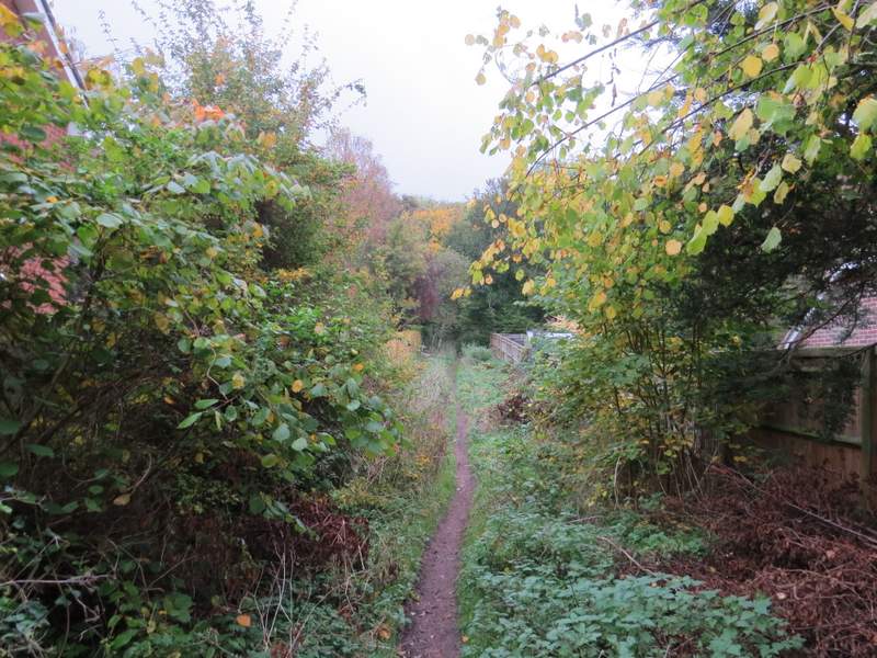
The start of the path from Stonor, that goes steeply uphill through Almshill Wood
The path from Stonor, that goes steeply uphill through Almshill Wood (it's MUCH steeper than this looks!)
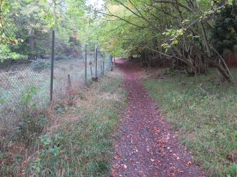
The path from Stonor, that goes steeply uphill through Almshill Wood (the gradient's eased off a lot now)
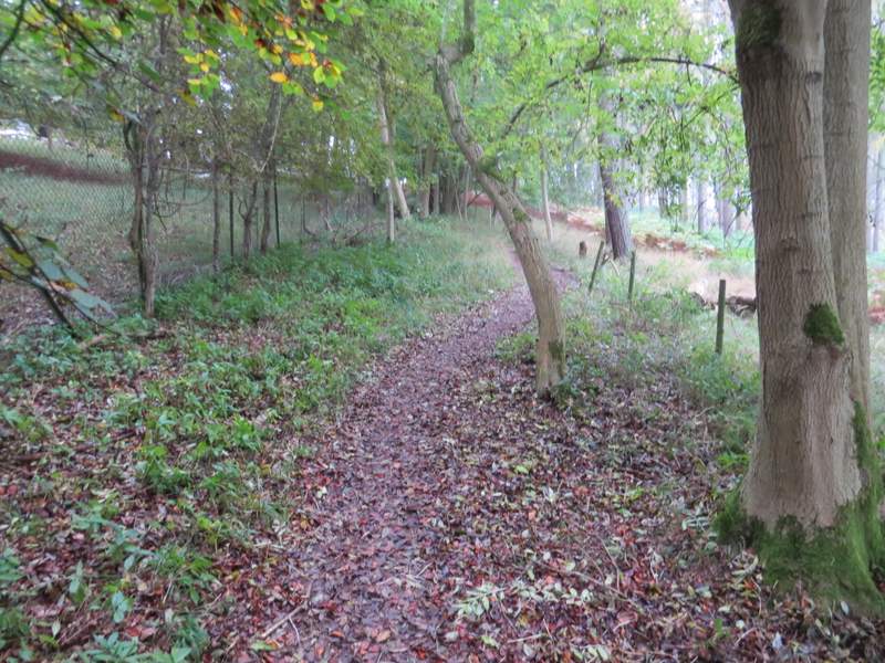
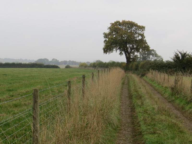
The bridleway to Coxlease Farm
I went through the farmyard and turned right on the far side. I went through a gate and followed a track that soon turned right (the OS map shows the path cutting a corner of the field on my left here, but I have never seen any evidence of this on the ground). The track now headed south along a ridge, with the Stonor Valley down on my right. I soon spotted a white Pheasant in a field to my left, something I'm not sure I've seen before and certainly not something I've photographed before. There were some good views along and across the Stonor Valley (though they were a bit misty today), and as always it was a pleasure to follow the track (though it was better in May when there were lots of wildflowers and butterflies!).
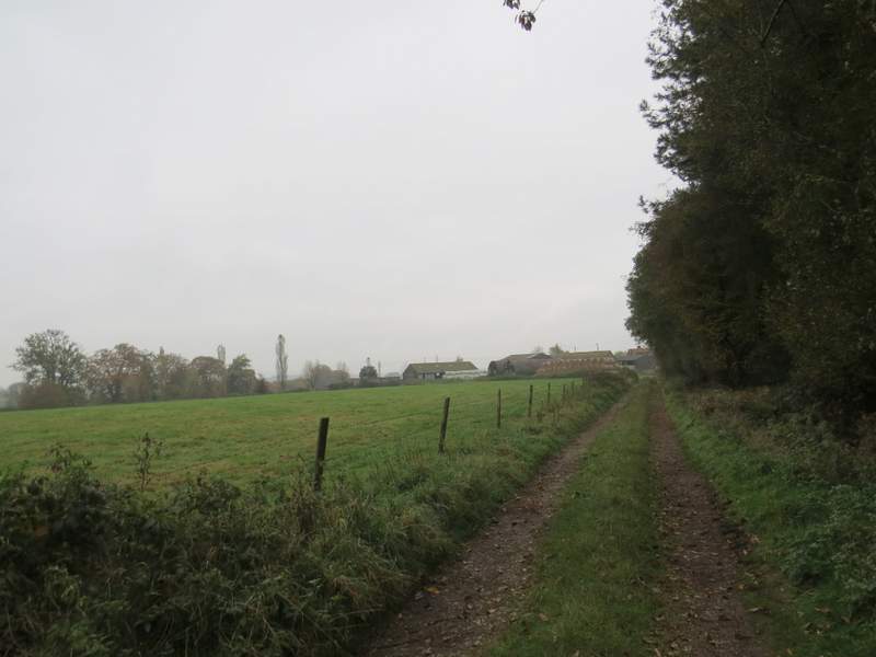
The path going south from Coxlease Wood
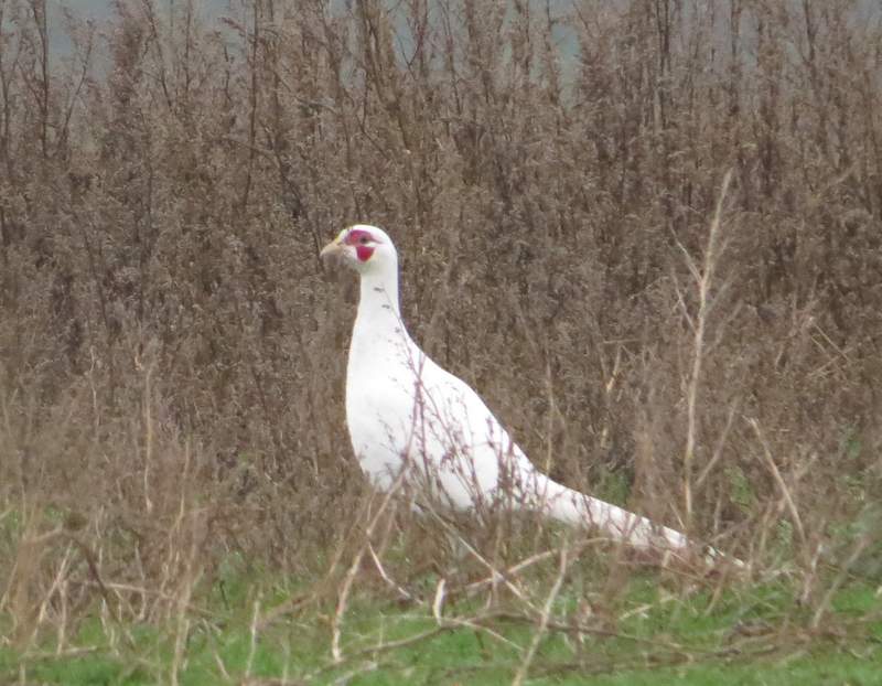
A white Pheasant
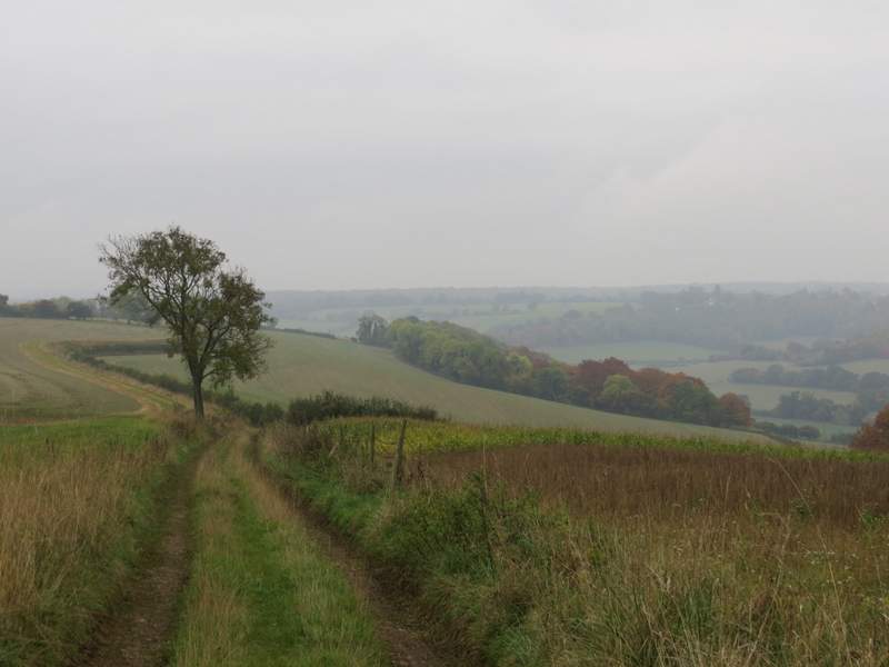
The path going south from Coxlease Wood, with the Stonor Valley down on the right
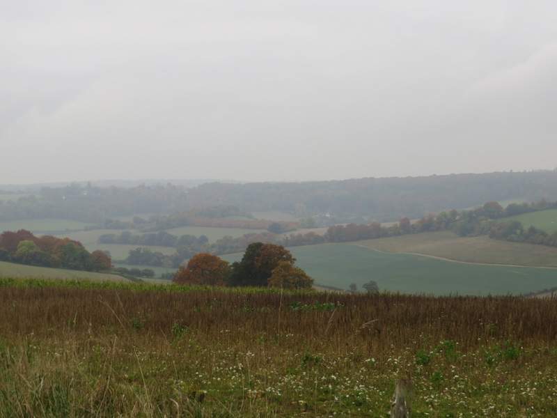
A view over the Stonor Valley
The path going south from Coxlease Wood
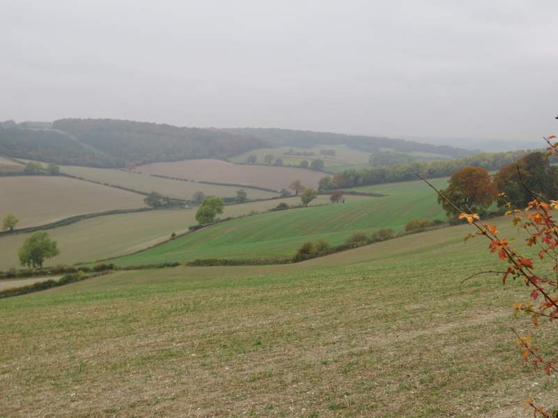
Looking back along the Stonor Valley
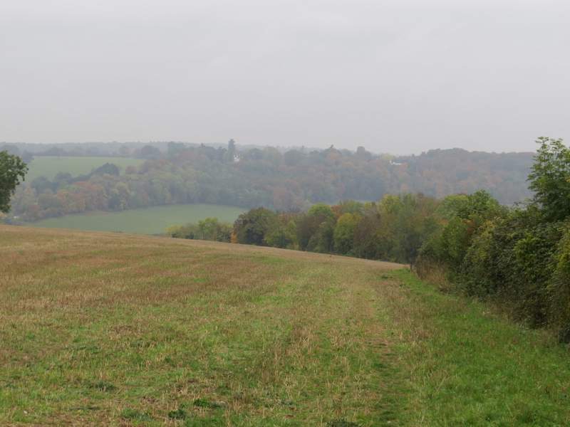
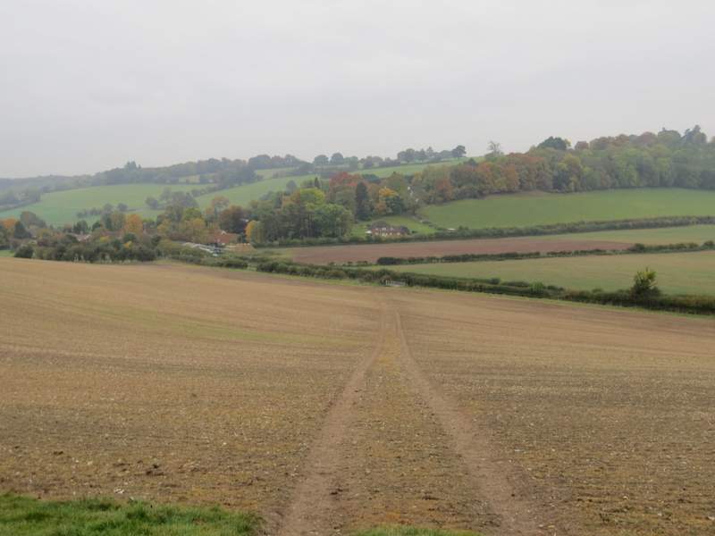
Eventually the track ended when it entered a field - the footpath continued alongside the hedge on the right, then in a field corner it went over a stile to enter Paradise Wood. Here the path turned left, staying close to the field that was now on my left. At the end of the wood, the path went half-right and downhill, following a track through a large ploughed field to reach a road close to Middle Assendon (on my left). I turned right, away from the village, and carefully followed the road for about a third of a mile, until a public byway (Warmscombe Lane) started on the left.
The path continuing towards Paradise Wood
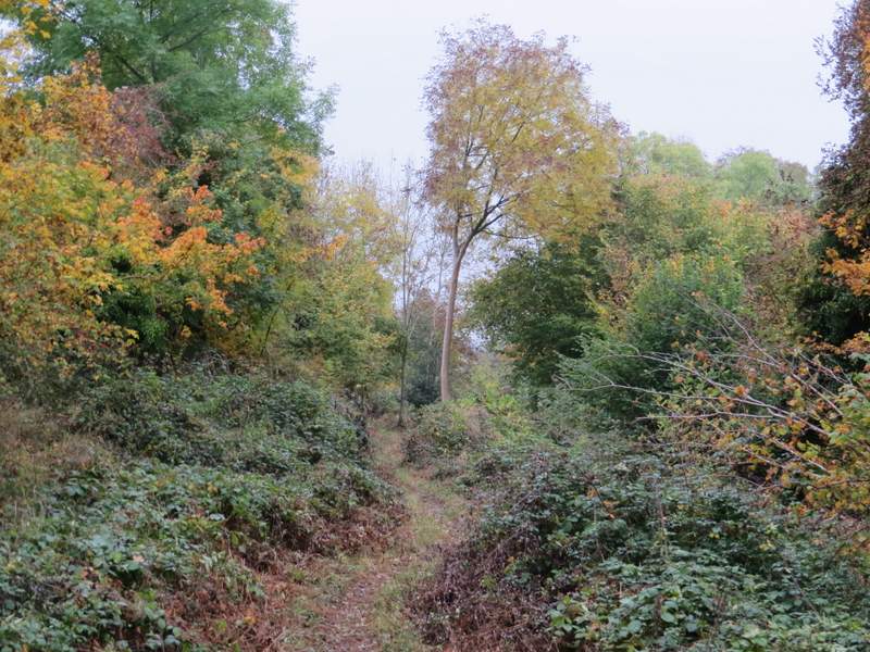
Paradise Wood
Paradise Wood
The path continuing from Paradise Wood - the village to the left is Middle Assendon
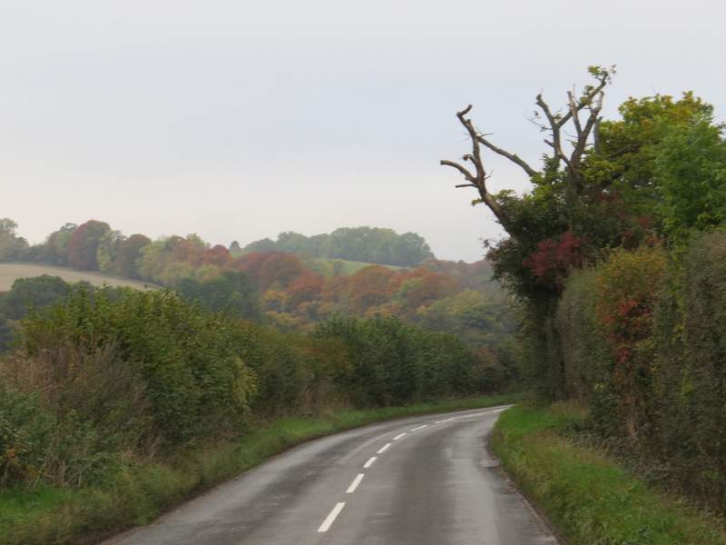
The road, heading away from Middle Assendon