Pete's Walks- Maidensgrove Common, Ibstone, Middle Assendon (page 6 of 6)
If you are considering walking this route yourself, please see my disclaimer. You may also like to see these notes about the maps and GPX files.
I only went a few yards along Warmscombe Lane before forking left onto a footpath along a track that followed a hedgerow on the left (I could have shortened the walk slightly by just following Warmscombe Lane straight on). The path went fairly gently uphill but not very far, then levelled off and started to descend as it cut a corner off the field. When the track came to a hedge corner, the path left it by crossing the grass on the right to a stile in a hedgerow. Over the stile, the path went left along the hedgerow to reach a gate and the lane through the valley of Bix Bottom. I turned right along the lane, soon spotting four clumps of Dark Mullein that were still in flower. I passed Valley End Farm, and a bit further on came to the ruined church of St James.
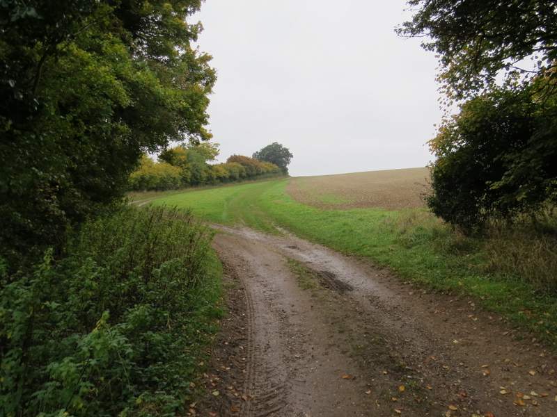
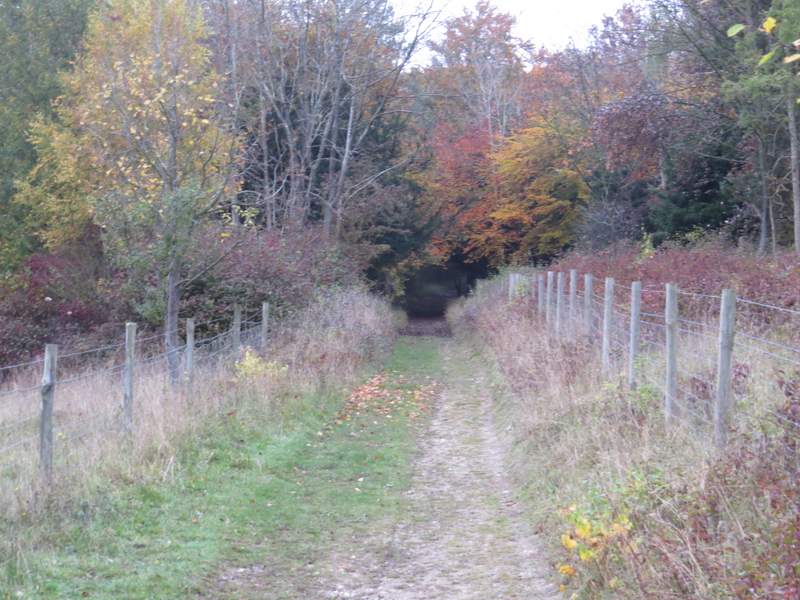
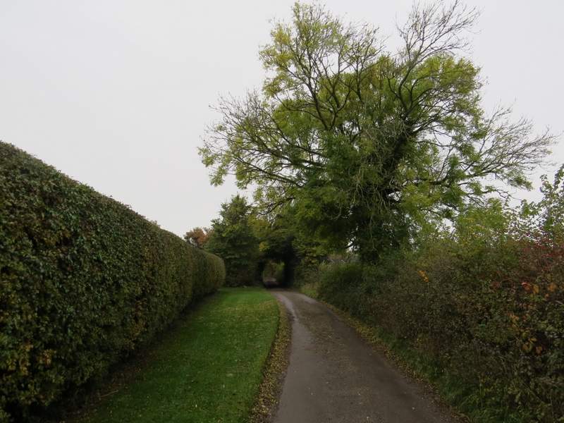
The path that forks left from near the start of Warmscombe Lane
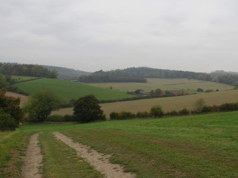
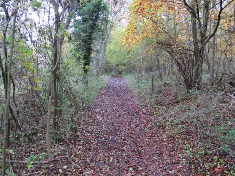
The path continuing down to Bix Bottom (it goes left after crossing the stile in the hedge)
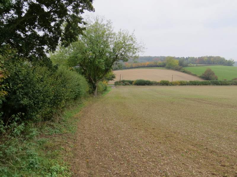
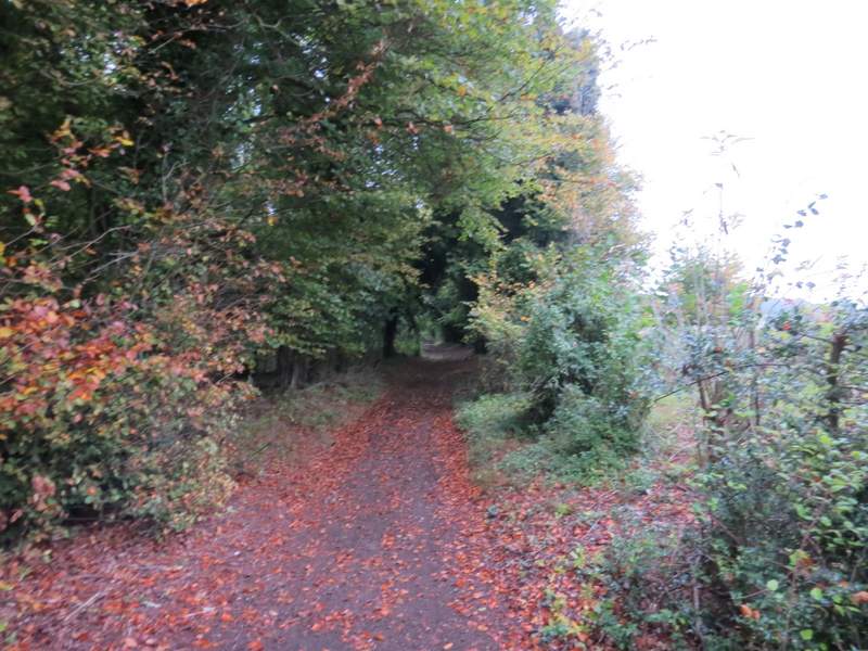
The path approaching the lane in Bix Bottom (after crossing the stile in the previous photo)
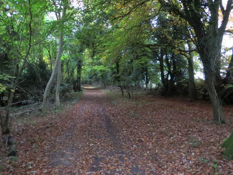
The path continuing towards Vale Farm
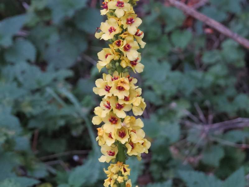
Dark Mullein (I saw four of these along the lane, all fully or partially in flower)
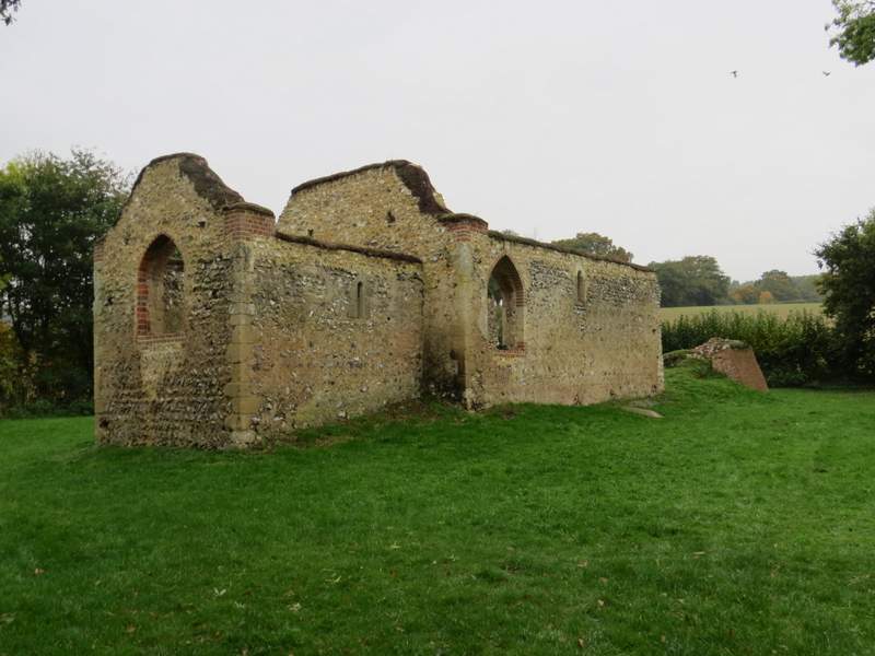
The ruins of St James's church, Bix Bottom
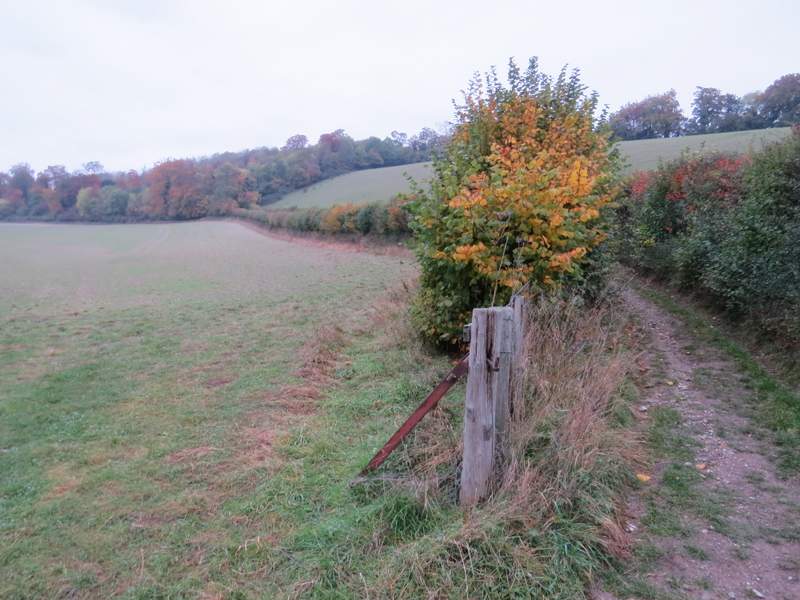
A few yards further on I turned right onto a bridleway, that ran between hedgerows as it ascended the hillside to reach Freedom Wood. It continued ascending through the wood, passing through an open area with a view left over the Warburg nature reserve. I remembered really struggling here when I did this walk on a very hot day in May, and I was glad that, though tired, I didn't feel as bad as I did then. The bridleway merged with Warmscombe Lane, coming in from my right, and it was then a fairly level walk of almost half a mile to reach a lane in Maidensgrove (close to Lodge Farm, to my right). I turned left along the lane, then after less than a quarter of a mile I went left along a track that soon brought me to the southeastern corner of Maidensgrove Common. I followed the left edge of the common until I reached the lane , where I turned right to return to my car.
Near the start of the bridleway from Bix Bottom to Maidensgrove
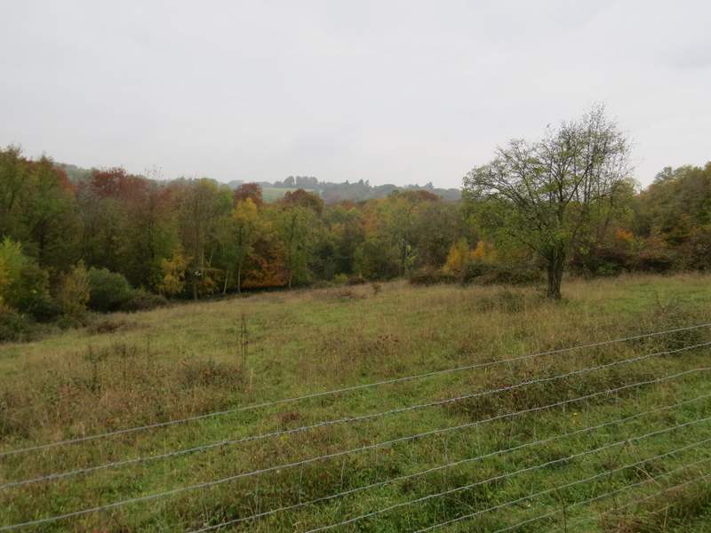
Looking left, over the Warburg nature reserve, from the bridleway from Bix Bottom to Maidensgrove
The bridleway from Bix Bottom to Maidensgrove
The bridleway from Bix Bottom to Maidensgrove
The bridleway from Bix Bottom to Maidensgrove
The bridleway from Bix Bottom to Maidensgrove
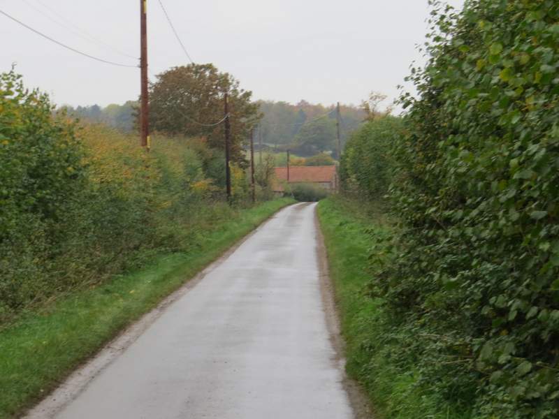
The lane through Maidensgrove, from Lodge Farm
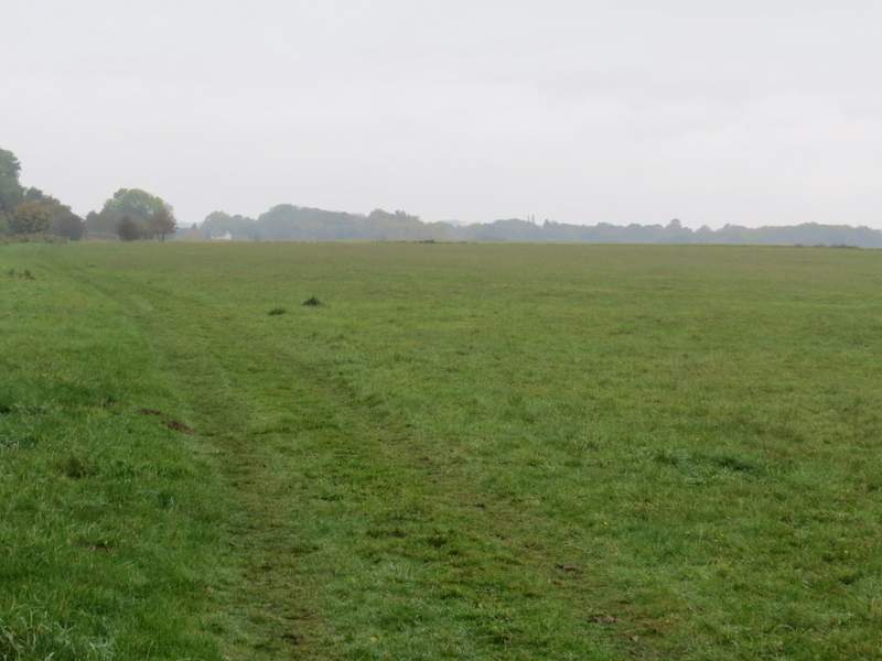
Maidensgrove Common
It was such a shame about the weather! The forecast indicated it would be grey, it didn't mention the fog, mist and drizzle! I still think this could be the best 15-mile route I've devised for myself in the Chilterns, including so many of my favourite paths and managing to do all of them in the best direction, with numerous great views and seven or eight ups and downs (the 15-miles took me almost six hours, which was 45 minutes longer than when I did a similar length walk with only one up and one down the following week). Still, I'm sure I'll be back sometime next year to see what it's like in more favourable conditions.