Pete's Walks- West Wycombe, Lacey Green, Bledlow Ridge (page 1 of 7)
If you are considering walking this route yourself, please see my disclaimer. You may also like to see these notes about the maps and GPX files.
Google map of the walkDownload GPX file of the walk
PLEASE NOTE: The very large car park in West Wycombe used to be free. When I came here on 15th January 2022 I found it is now a pay and display car park, only free if you stay less than one hour and costing £4 if you stay more than 2 hours. I think you have to pay by credit card, I don't think the machine takes cash.
I did this circular walk of about 14.8 miles on Saturday, 19th November 2016. It was basically an extended version of a walk I did in June 2014, but with a different start that made use of some paths I'd not walked before. The first part of the 'extension', from Smalldean Lane onwards, was also mainly on paths I'd not walked before.
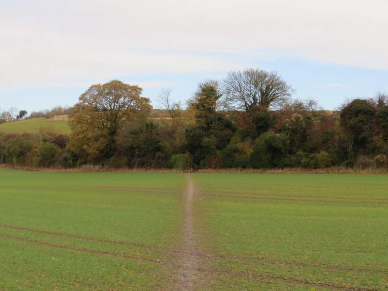
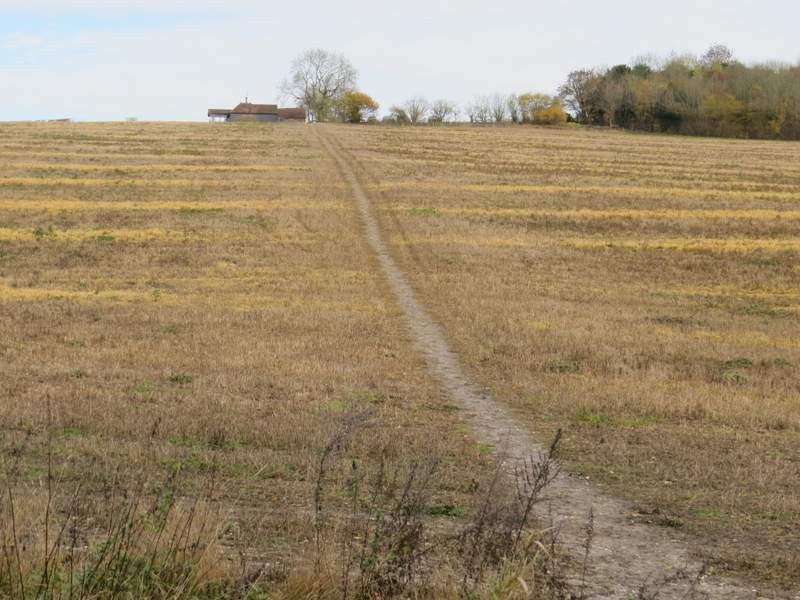
I started walking about 10.10am, from the car park in West Wycombe (grid reference SU 826947) - it's now named the Hell Fire Caves car park, I think it used to be called the 'village' car park. I turned right from the entrance to the car park, then turned left along the A40. I followed the road through the attractive village with its many old buildings, and continued as far as a roundabout, where I turned left along the A4010. This road follows a valley north or northwest from here to Princes Risborough, and the route I'd be following today would more or less follow the ridge of hills to the east of this valley, then cross the valley and return along the hills on the western side. Shortly after the end of some playing fields on the right, I took a footpath on that side of the road that crossed an arable field to reach a line of trees and bushes. These hid a railway line from view, and I had to walk under a graffiti-strewn railway bridge before continuing uphill along a headland between two fields.
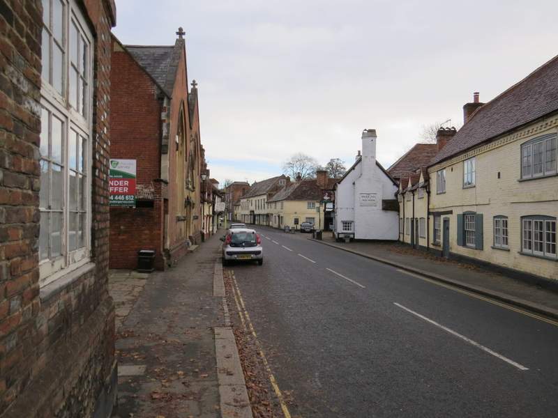
West Wycombe
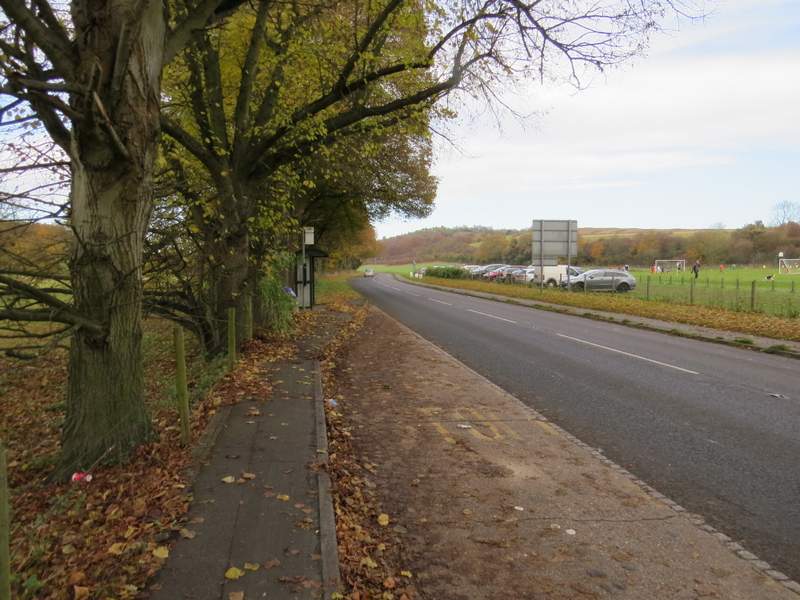
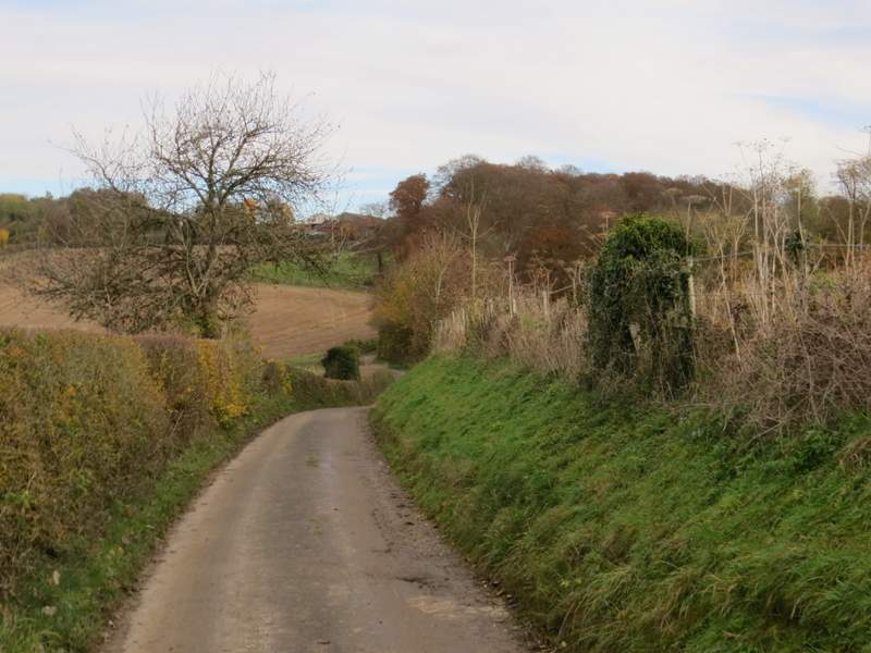
The road out of West Wycombe (the A4010), after I turned left at the roundabout
The start of the footpath to Cookshall Farm
The footpath to Cookshall Farm, just after going under the railway bridge
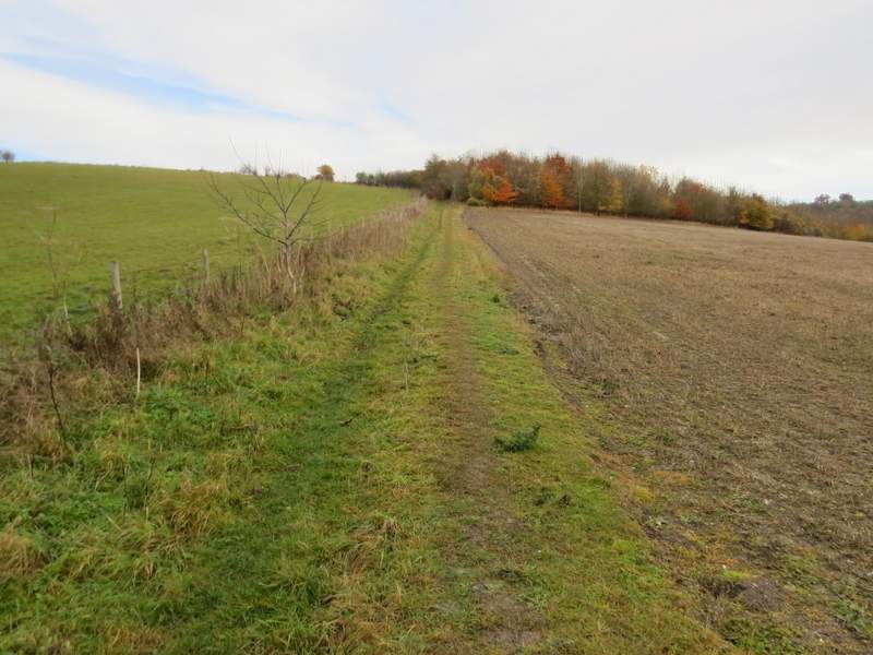
After passing a small area of trees the path continued beside a hedgerow on my left, and now the field of stubble on my right sloped down into a side valley. I went straight on where a track turned right, continuing through a small plantation of young trees to reach another track. Here a public footpath went right, along the track, but I kept straight on, heading across another stubble field and aiming towards some buildings at the top of the hill. Whereas the start of this path had all been new to me, I'd walked this section once before in the opposite direction (at the end of a walk I did in October 2007). Beyond the buildings I continued straight on along the drive to Cookshall Farm. After a short while a fingerpost indicated where the path forked slightly right, into a wood. Unfortunately there was a pheasant shoot taking place here, and rather than wait around for them to finish I agreed to the suggestion that I just continued along the drive to Cookshall Farm [Note: if I'd taken the footpath, I'd have taken the first turning on the left after maybe 200 yards (there is no waymark, look for a white arrow on a tree 10-15 yards to the left) and then the next left again to cross the drive just before the farm]. By following the drive, I soon reached the same point, where a finger post showed the path crossing the drive just before Cookshall Farm. Here I turned left.

The footpath to Cookshall Farm
The footpath to Cookshall Farm
The footpath to Cookshall Farm
The footpath continuing along the drive to Cookshall Farm
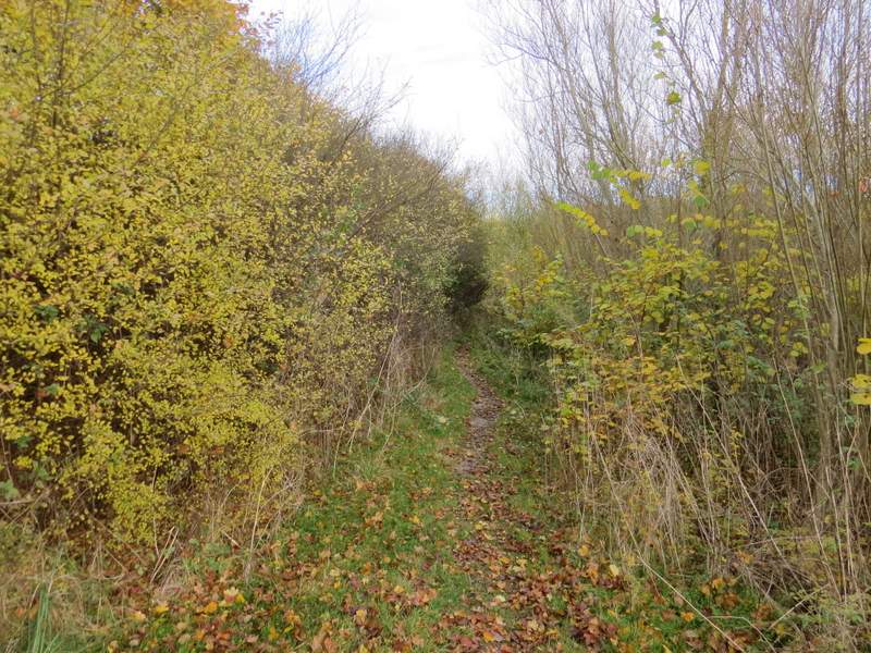
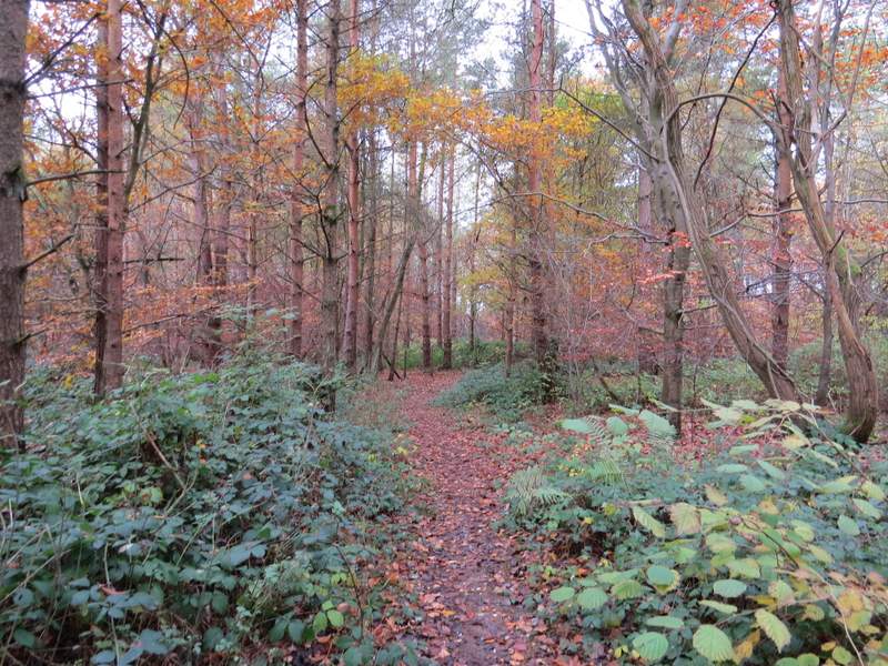
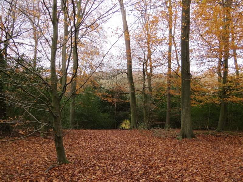
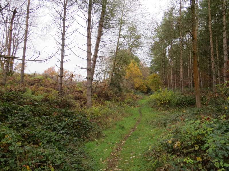
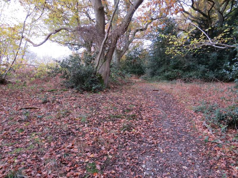
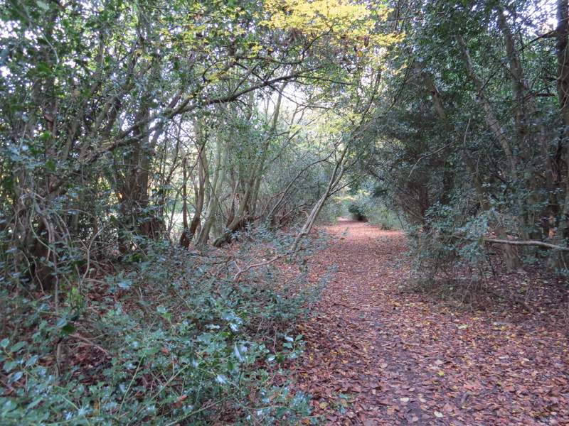
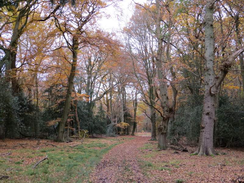
I followed a short track to reach Great Cookshall Wood, where a path continued on through the wood - again this was a path I'd not walked before. I followed the path through the wood for about half a mile, initially heading west then turning to the north. Eventually there was a cleared section of wood to my left, and I knew where I was, as on the other side of this cleared area was a path from Kit's Wood that I've walked several times. At the end of this cleared section I came to a path T-junction, where I went left along the end of the cleared section to reach another T-junction. Here I turned right along the familiar path from Kit's Wood, here close to Bradenham Hill Farm. I went straight on where a bridleway crossed, only to reach another crossing bridleway two or three hundred yards further on.
Near the start of the footpath from Cookshall Farm, approaching Great Cookshall Wood
The footpath through Great Cookshall Wood
The footpath through Great Cookshall Wood
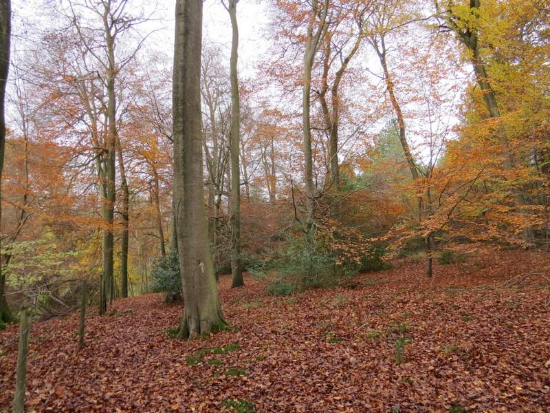
The footpath through Great Cookshall Wood
The footpath through Great Cookshall Wood, with the cleared section of wood to the left
The short section of path along the end of the cleared section of wood (after I turned left)
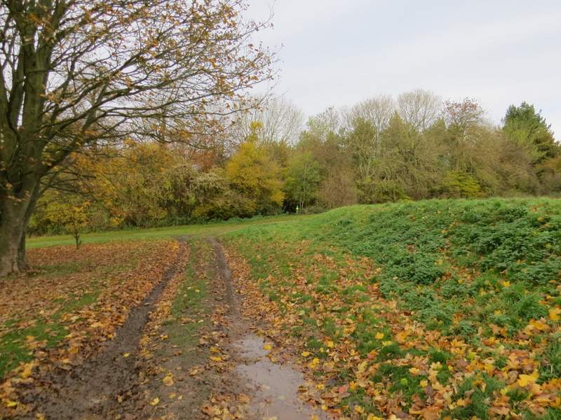
The path close to Bradenham Hill Farm (after I turned right)
The short section of the path between the two crossing bridleways, on Naphill Common