Pete's Walks- West Wycombe, Lacey Green, Bledlow Ridge (page 2 of 7)
If you are considering walking this route yourself, please see my disclaimer. You may also like to see these notes about the maps and GPX files.
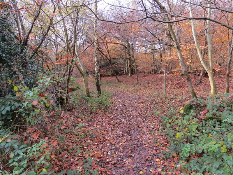
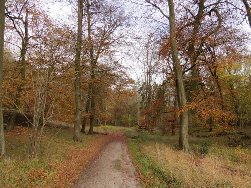
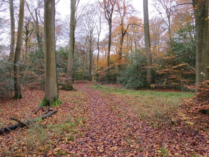
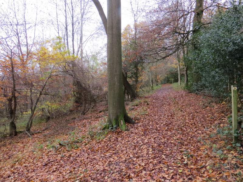
I was now on Naphill Common, which is mainly wooded and much of it Beech woods. I continued straight on, following a line of telephone posts along a broad grassy strip (the OS map doesn't show a path here, but its all an Open access area). After a few hundred yards a path went left, but just for a few yards before turning right to head through the trees just left of the line of telephone poles. Just as this path neared the corner of some gardens in Walter's Ash, I turned left onto another public footpath. This led slightly downhill through part of the common named The Coppice to reach a minor road.
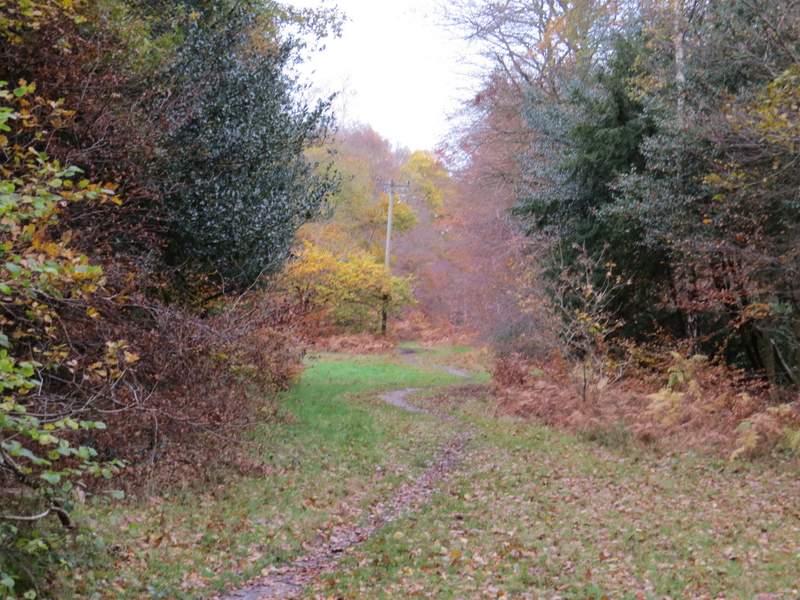
The path following the line of telephone poles
The footpath parallel to the telephone poles
The start of the path going left through The Coppice
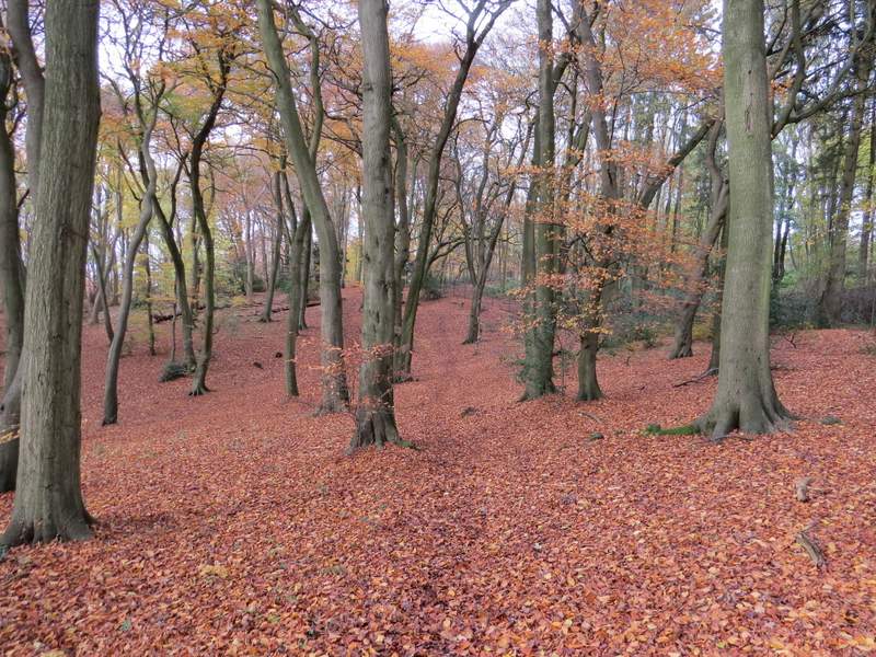
The path through The Coppice
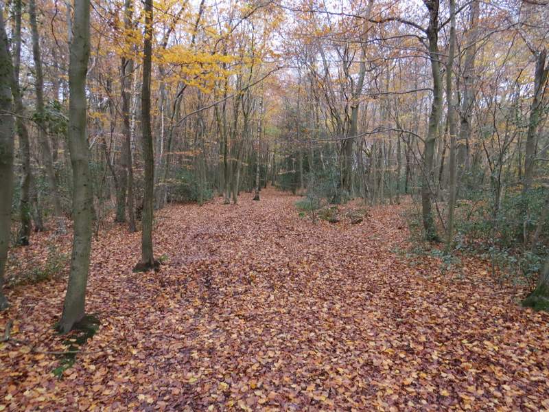
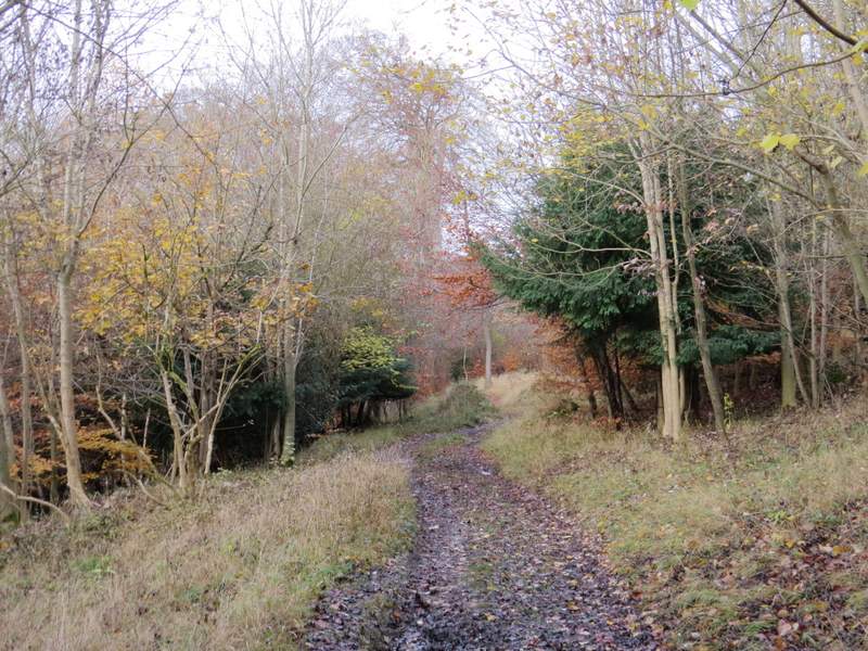
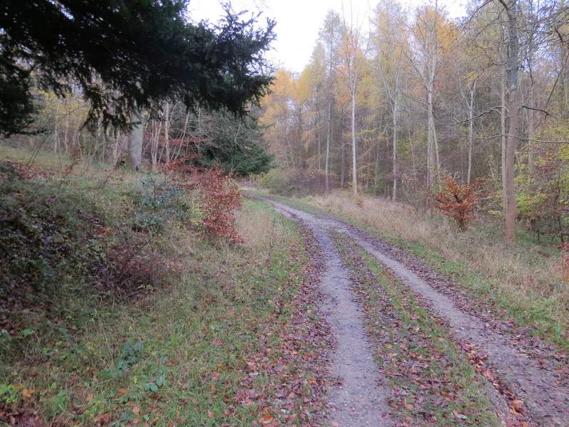
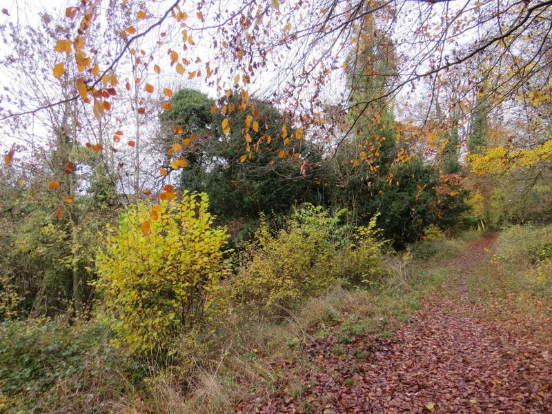
Across the road another path continued through the woods (not a public footpath, but this was still an Open Access area). After a while there was a residential estate nearby on my right - the OS map says 'Bradenham Beeches' here, and I think it's a place name rather than the name of the woods. After a while, the path turned right, close to a corner of the fence around the estate, and then a few yards further on I came to a path junction where I forked slightly left. This path descended slightly across a wooded hillside. I kept straight on, ignoring any paths going off to the side, and eventually the path merged with a track coming in from the right. It then dropped downhill with an open area of grassland to my left.
The path starting on the other side of the minor road
The path continuing close to a housing estate (on the right) called Bradenham Beeches
The path after I forked left
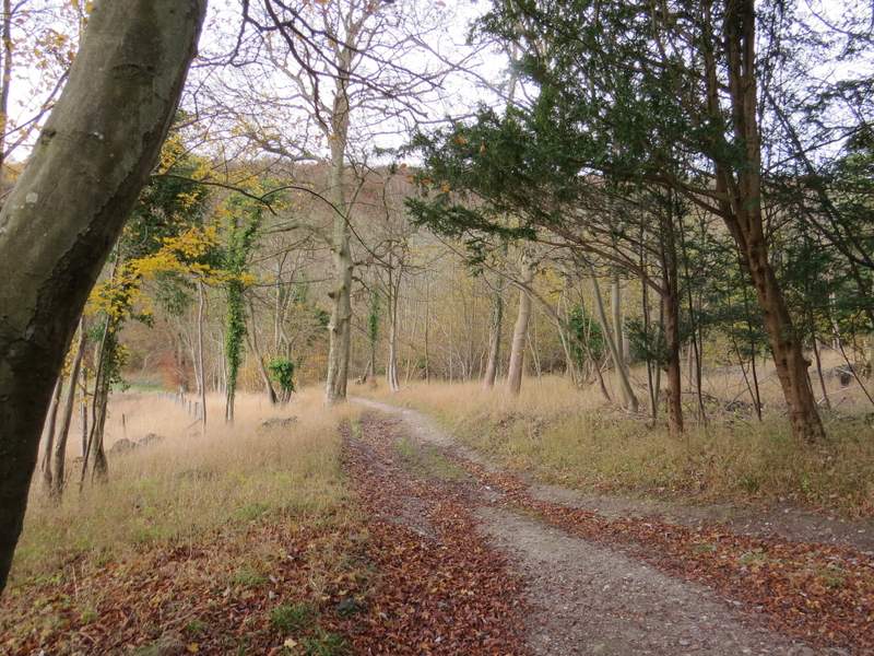
The path after I forked left, from where a track comes in from the right
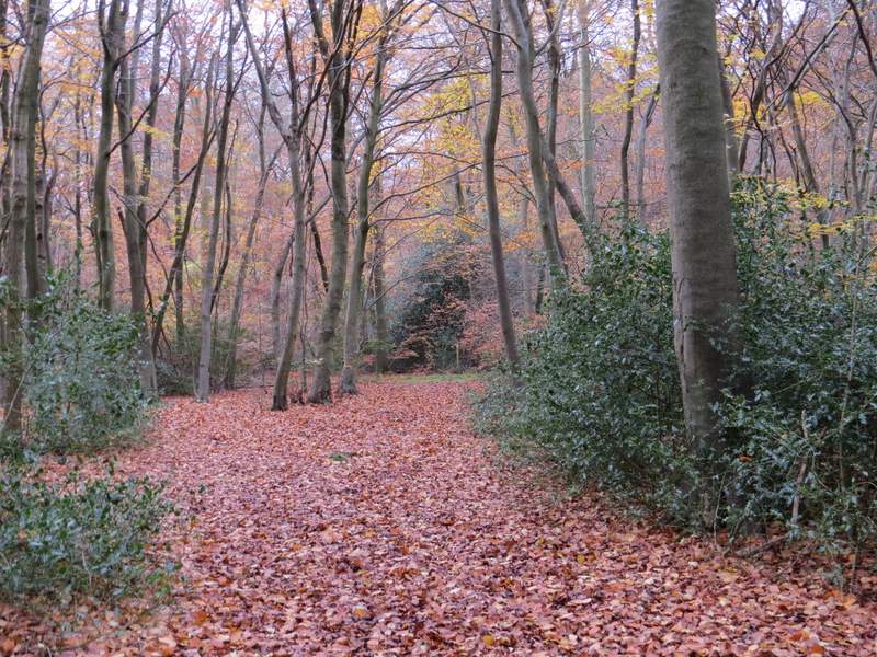
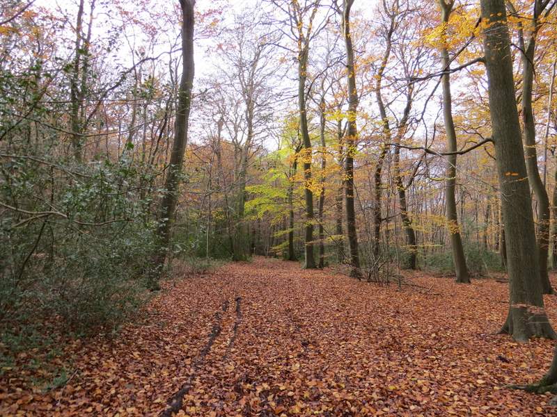
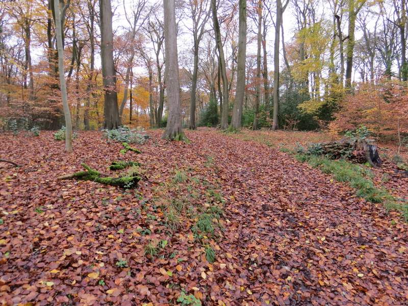
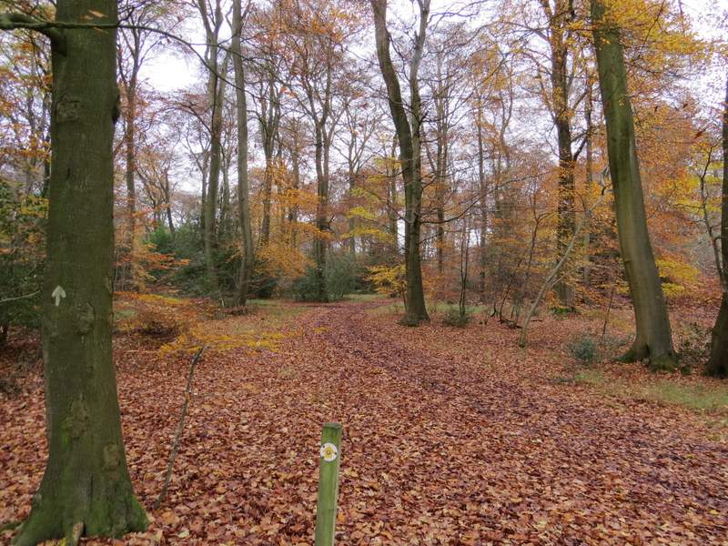
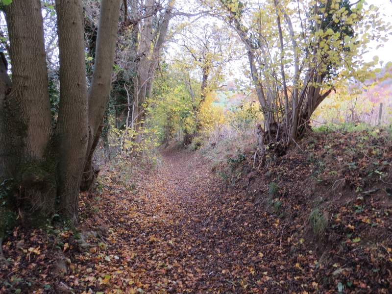
In the valley bottom I turned right onto a bridleway that ran along a track, now in Park Wood (I got really confused when I came here on that walk I did in June 2014 - I think it's because the open grassy area that had been on my left is shown as woodland on the OS map). At a fork I kept left, still on the bridleway. The track soon started to curve left, and a little further on I took a footpath that went left (NOTE: another path, not a public footpath, goes left just before this. The path I took is marked by a white arrow on a tree and starts just AFTER a broad path or track comes in from the right). This briefly rose uphill, then the public footpath forked right, away from a broader path. White arrows and waymark posts guided me through the next small section of the wood, then the path briefly joined a track again before turning left. The path continued through the woods for about another half mile until it eventually brought me to Smalldean Lane (there is a small car park here).
The footpath after I turned right, now in Park Wood
Further along the same path, after I kept left at a fork
The next path, after I turned left (I had to look carefully for where the footpath went right from this broad path)
Further on, where the path joins a track very briefly ...
... before going left here
The footpath continuing through the woods to Smalldean Lane
The footpath continuing through the woods to Smalldean Lane
The footpath now approaching Smalldean Lane