Pete's Walks- West Wycombe, Lacey Green, Bledlow Ridge (page 4 of 7)
If you are considering walking this route yourself, please see my disclaimer. You may also like to see these notes about the maps and GPX files.
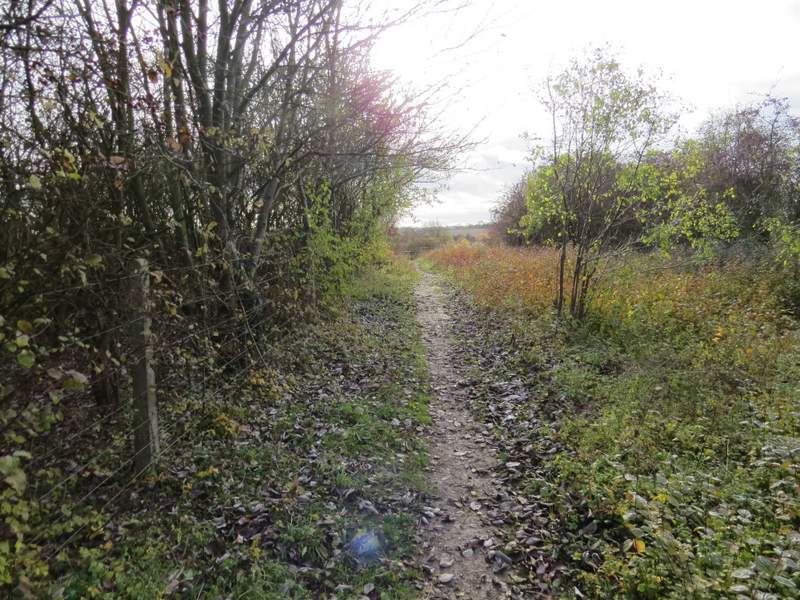
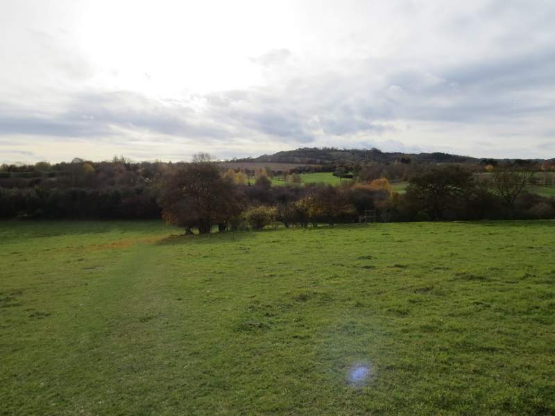
I crossed the street and went down a short footpath between garden hedges to reach a second street. Here I turned right, and after about a hundred yards took a footpath on the left. This ran between more garden boundaries, continuing between a hedge and the wooden fence of a paddock on my left. I then reached a huge arable field, where I had to stop and study my OS map to work out where the path went. Eventually I realised that I needed to follow a row of white sticks, planted about 50 yards apart and going slightly left to a very distant gate.
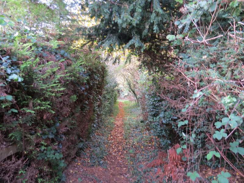
The short path between two lanes or streets in Loosley Row (possibly one of the dullest photos I've put on this web site, I think)
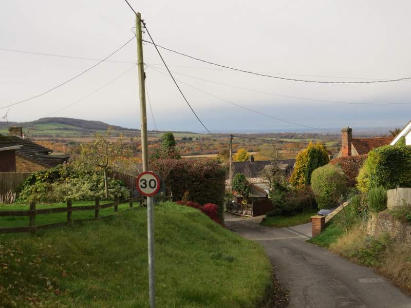
The second lane or street in Loosley Row
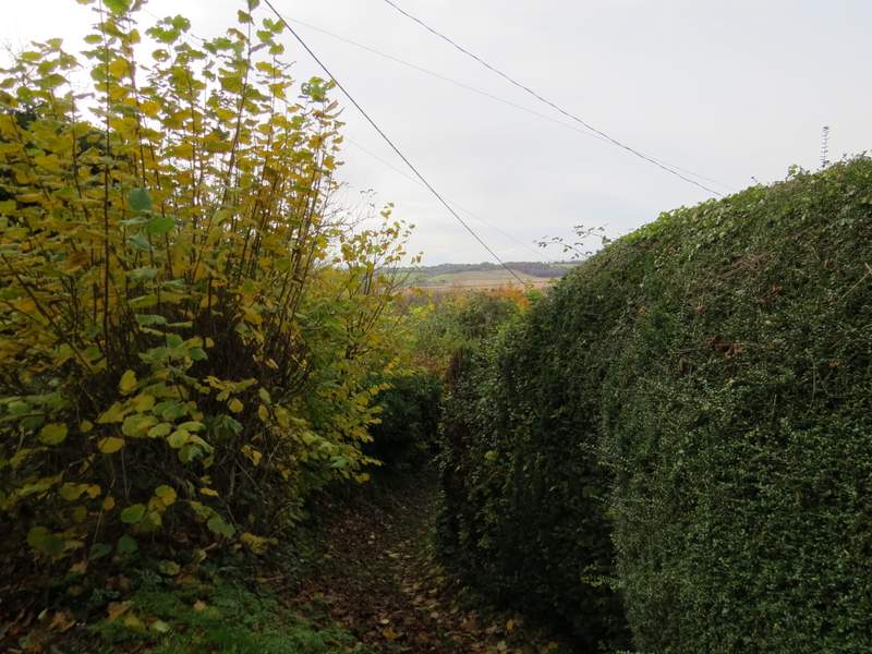
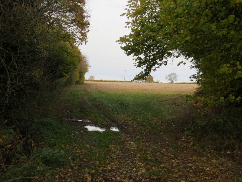
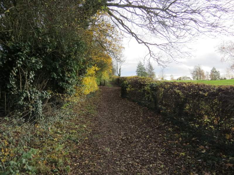
The path from Loosley Row

The path from Loosley Row
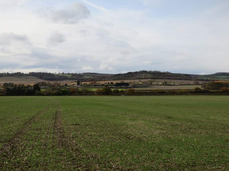
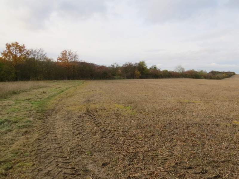
The huge arable field - when I finally worked out where the path went, it was actually slightly left of this shot! Lodge Hill is centre-right.
On finally reaching the gate, I went over a stile and crossed the A4010 (the road I'd followed out of West Wycombe). I went a short distance to the right, and turned down a bridleway following a hedgerow on my left (with a railway line in a cutting the other side of the hedge). After several hundred yards the bridleway followed another hedgerow forking slightly right. After a hundred yards or so I turned left onto a crossing footpath, now back on a familiar path for the first time since Smalldean Lane (other than a short bit of street in Lacey Green). The path went across to the hedgerow I'd been following earlier, and turned right alongside it. I followed it for several hundred yards, until I reached a path T-junction where I turned left.
The start of the bridleway on the other side of the A4010
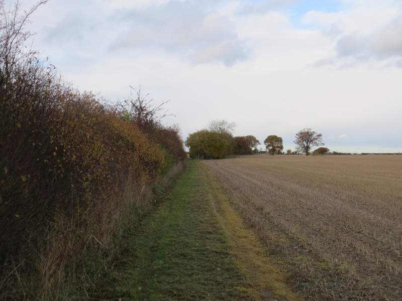
Further along the bridleway - It follows the hedge forking left, about as far as the two trees standing on their own
This is where I turned left by the two trees, back to the other hedgerow, which I followed to the right (about as far as you can see on the photo)
The path went over the top of a railway tunnel, then crossed an empty pasture. Through a gate, it continued for a few yards between bushes to reach another railway line. Safely across this, the footpath continued between hedges either side, through a golf course. Eventually the path joined the drive from a large house (I know someone on the internet who used to live here), which brought me to a minor road.
The footpath crossing the first railway line (in a tunnel)
The pasture between the two railway lines
The footpath through the golf course
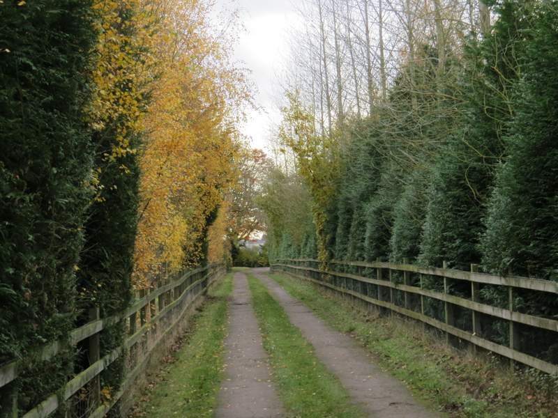
Further along the footpath, along the drive from the big house
Across the road I continued along a bridleway, following a hedge on my left until I reached the foot of Lodge Hill, The bridleway turned left here, but I went straight on up the short grassy slope at this eastern end of the hill. The path continued through bushes at the top of the hill, where I looked for and found a seat, where I stopped to eat my packed lunch (it was now about 1.20pm).
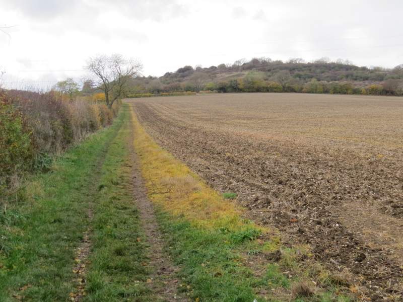
The bridleway on the other side of the minor road, heading towards Lodge Hill
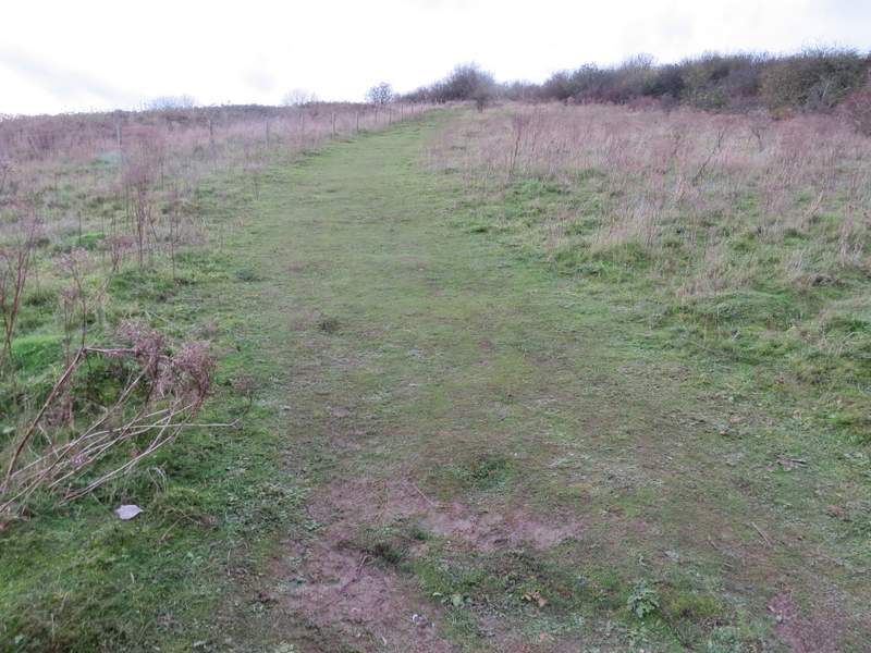
The footpath up Lodge Hill
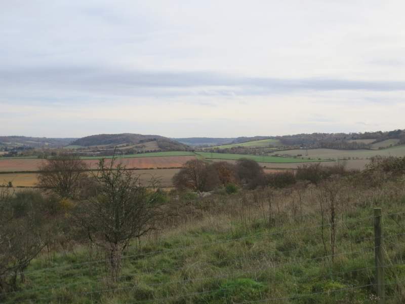
Looking left towards Slough Hill and Allnutts Wood - Bledlow Ridge is to the right
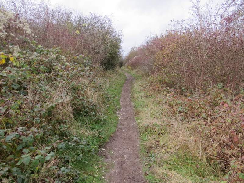
The path continuing over Lodge Hill