Pete's Walks- West Wycombe, Lacey Green, Bledlow Ridge (page 7 of 7)
If you are considering walking this route yourself, please see my disclaimer. You may also like to see these notes about the maps and GPX files.
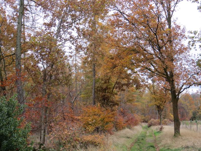
There was a short but quite steep climb at the start of the drive - I was still feeling low on energy, and so I was glad this was the last bit of uphill of the day. The drive levelled out soon after entering Allnutt's Wood, and after a while I had fields on my right. Shortly before reaching Noble's Farm there was a break in the woods on my left where there was a paddock, with a nice view across the valley (I always seem to take a photo here).
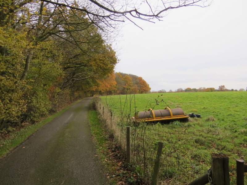
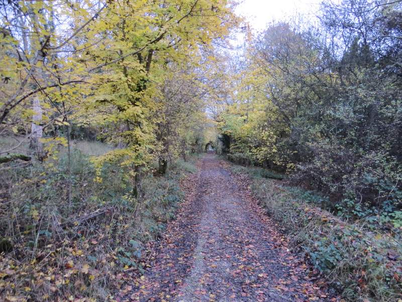
The drive to Noble's Farm, in Allnutt's Wood
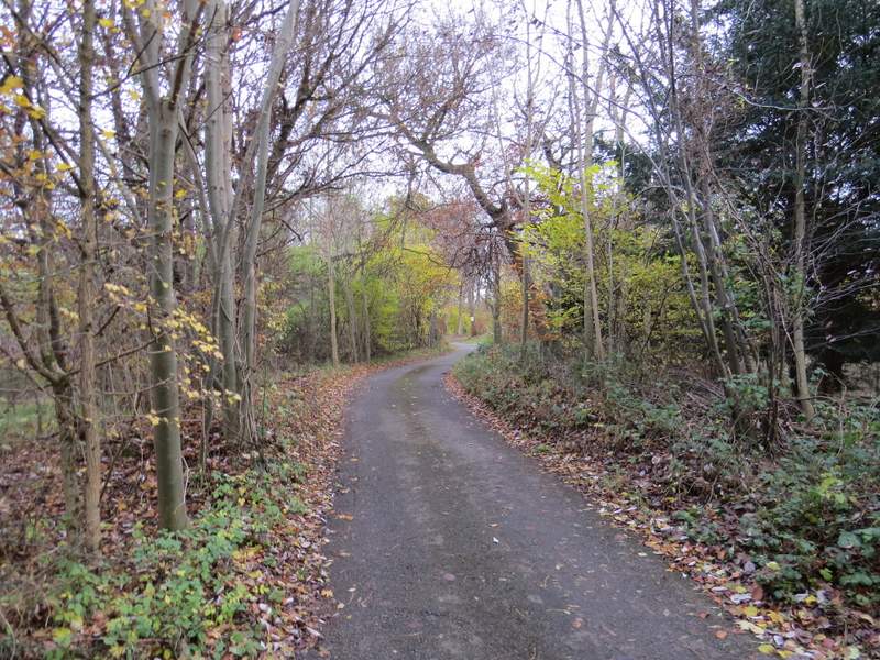
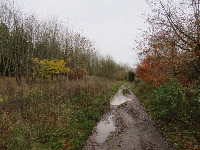
The start of the drive to Noble's Farm
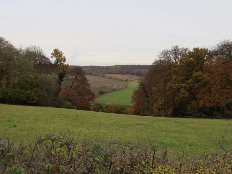
A view left, just before reaching Nobles Farm - a 'dip' had been cut in the hedge so people could see this view
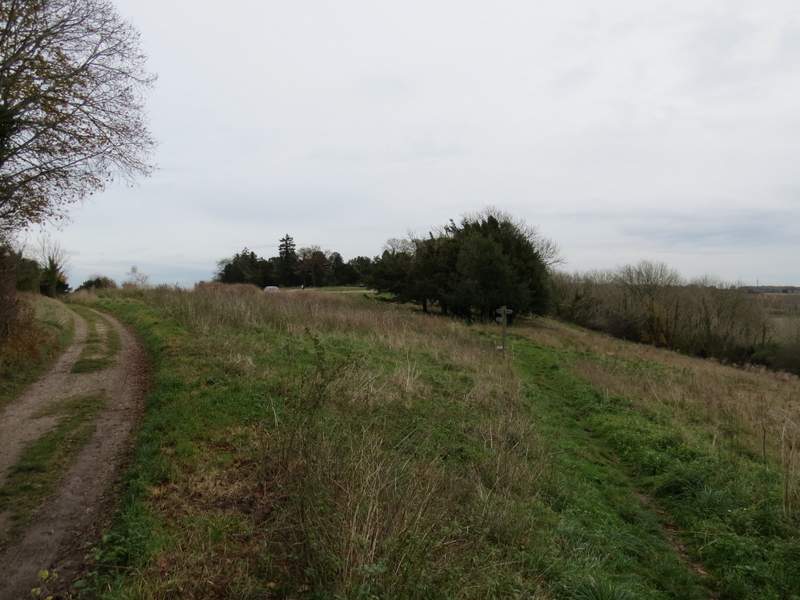
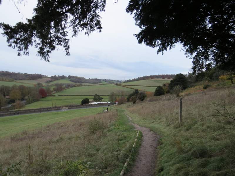
Beyond Noble's farm, the very level path continued southeastwards through more woodland, though there was soon a large cleared area on my right. Further on there were paddocks or fields nearby on my left. About a mile from Noble's farm I reached the grassy top of West Wycombe Hill and the car park behind St Lawrence's church.
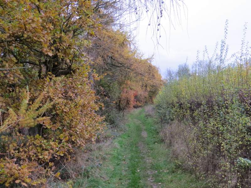
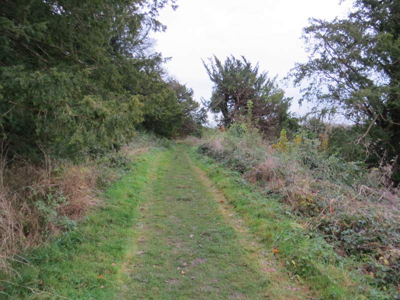
The footpath continuing from Nobles Farm
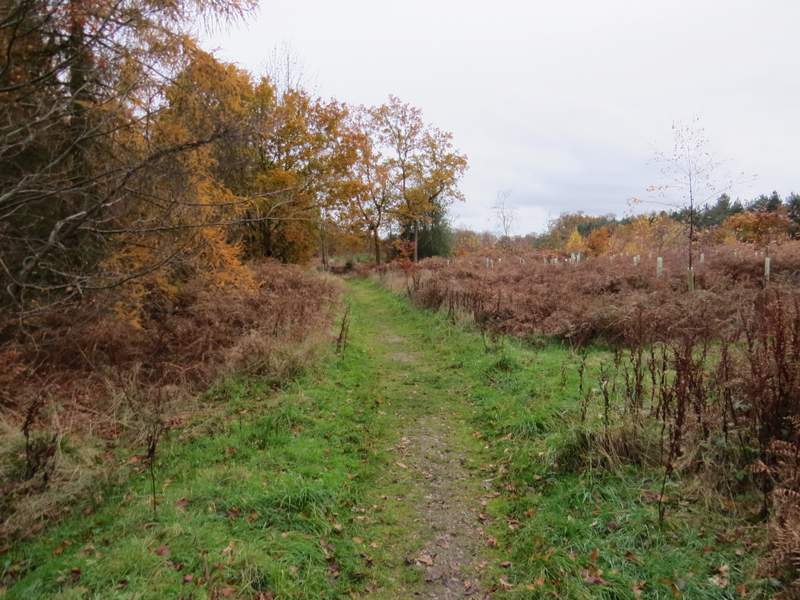
The footpath continuing from Nobles Farm
The footpath continuing from Nobles Farm
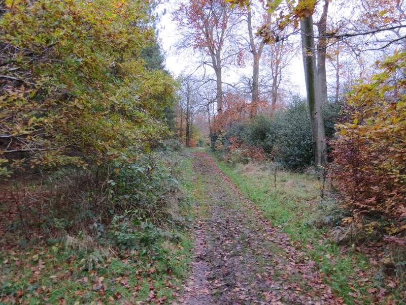
The footpath continuing from Nobles Farm
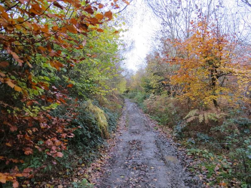
The footpath continuing from Nobles Farm
The footpath continuing from Nobles Farm
The footpath continuing from Nobles Farm, now approaching West Wycombe Hill
West Wycombe Hill
St Lawrence's church, West Wycombe Hill
I followed a path round to the right of the churchyard, which soon brought me to the Dashwood Mausoleum. I started down the grassy slope here, heading almost in line with the A40 as it headed into High Wycombe, but after a short distance I turned left. This path initially went down some wooden 'steps' before the gradient eased. It was then a gentle downhill stroll along this path, which ended opposite the car park where I'd started.
The path passing to the right of the church
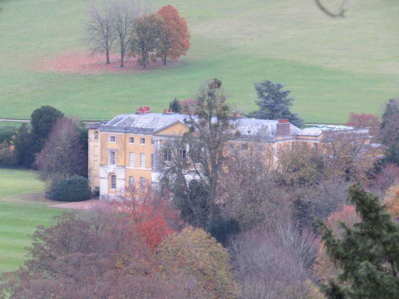
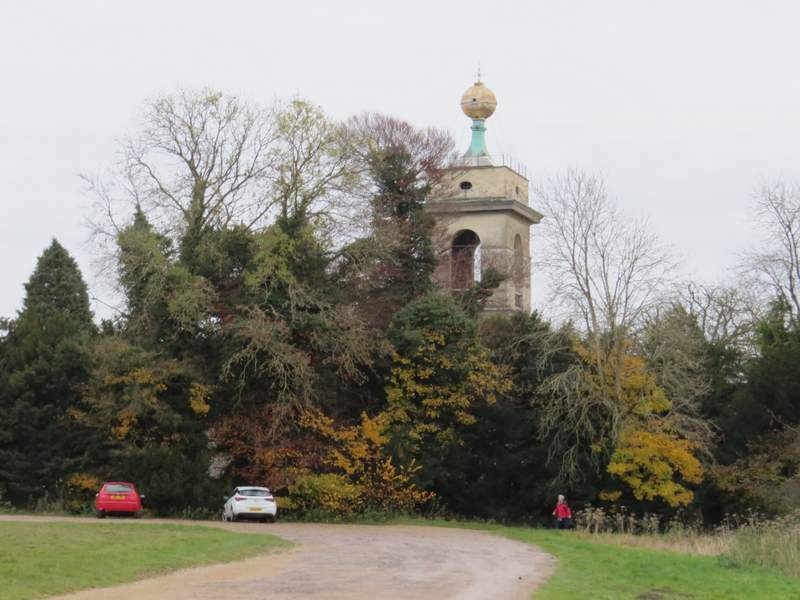
A zoomed in view of West Wycombe House
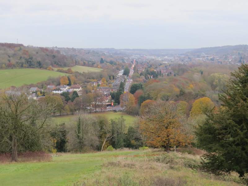
View from West Wycombe Hill, along the A40 into High Wycombe
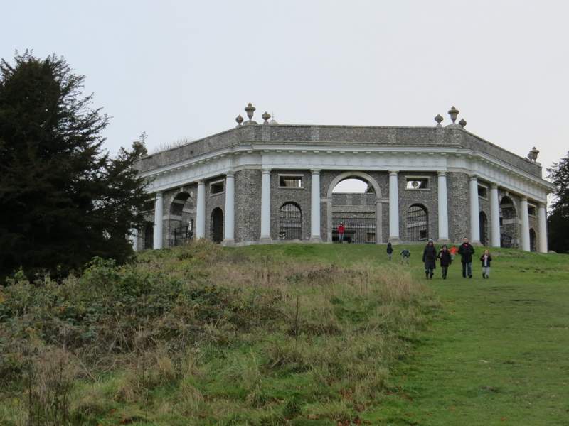
Looking back at the Dashwood family Mausoleum on West Wycombe Hill - this is taken from about where I turned left
The path back down to the car park
I think I enjoyed this walk a bit more than I'd expected to. Much of the start of the walk was new to me, as far as Naphill Common, then the section to Smalldean Lane I'd only walked once before, and then most of the way to Lacey Green, through Loosley Row and on to the A4010 was again new to me. For some reason this was all pleasanter than I'd thought it would be, and then it's always a real pleasure to walk over Lodge Hill with its fine views in so many directions. I wasn't particularly looking forward to the section from there to Bledlow Ridge, but it had been some years since I'd been that way and it didn't seem as over-familiar as I'd thought it might be. The final section from there to Slough Hill and on to West Wycombe Hill is one I've done many times before, but it's a very pleasant route and my only problem with it today was that I was really lacking in energy by then (my 'get up and go' seemed to have got up and gone while I was having my lunch, I'd been fine up to then!).
It's certainly a route I'd be happy to walk again, and I'm sure I'll try it in the opposite direction some time too.