Pete's Walks- West Wycombe, Lacey Green, Bledlow Ridge (page 6 of 7)
If you are considering walking this route yourself, please see my disclaimer. You may also like to see these notes about the maps and GPX files.
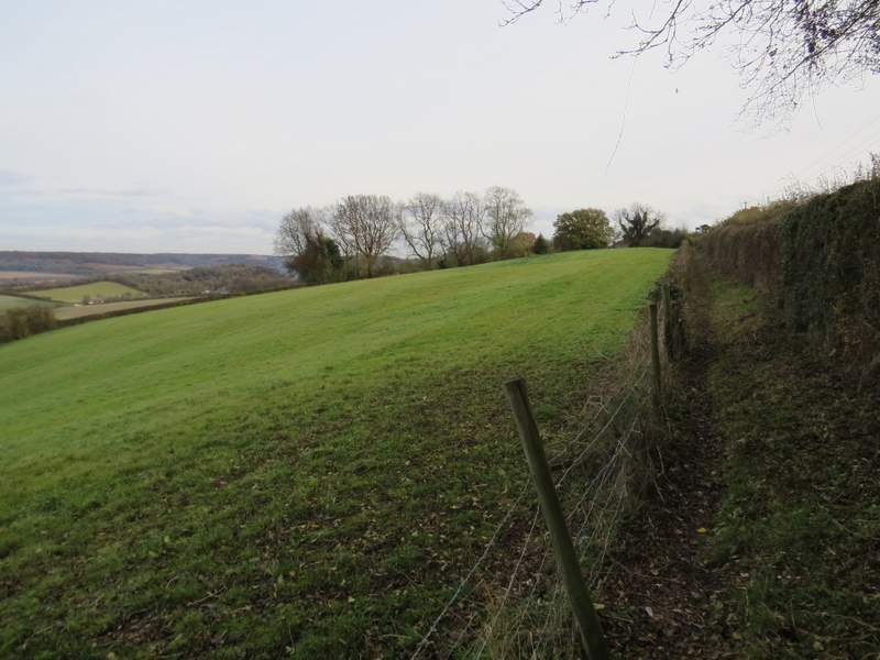
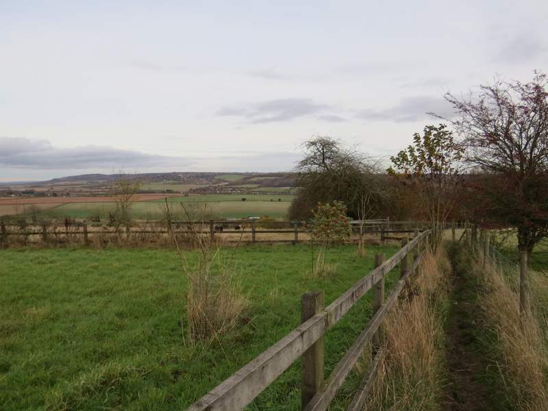
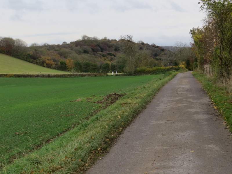
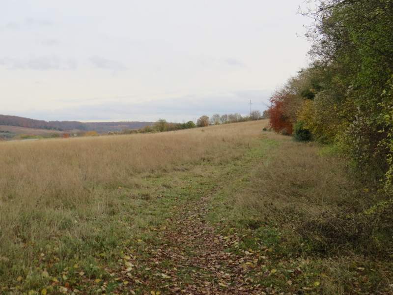
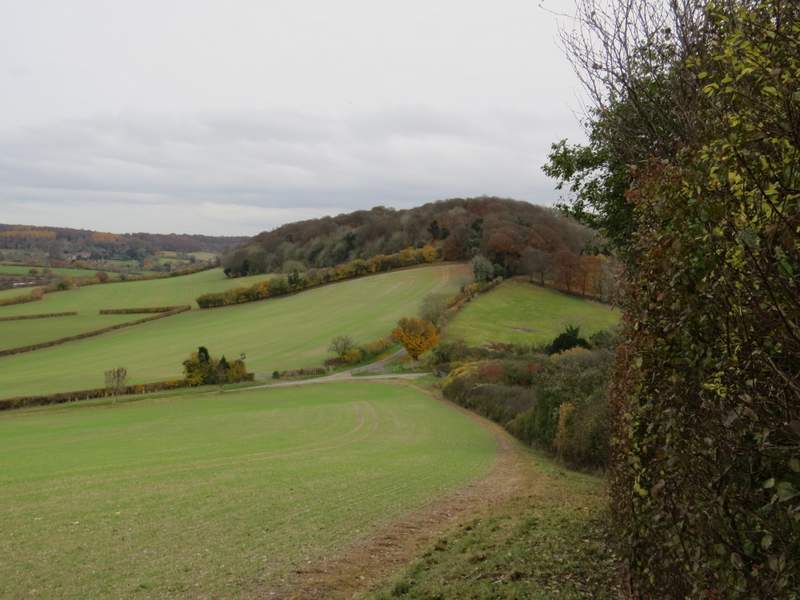
Across the drive, the path continued between hedges and fences. After a while, there was a fine view on my left, back across the Saunderton valley. Further on the path joined a drive, following it to its end where it met the road through the village of Bledlow Ridge. Here I turned left, but only for a short distance before turning left onto a footpath (almost opposite a 30mph sign).
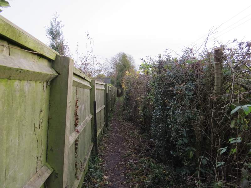
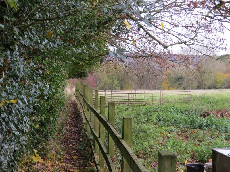
The path from Rout's Green to Bledlow Ridge, just after I crossed a drive
The path from Rout's Green to Bledlow Ridge
Looking left across the Saunderton Valley, from the same spot the previous photo was taken
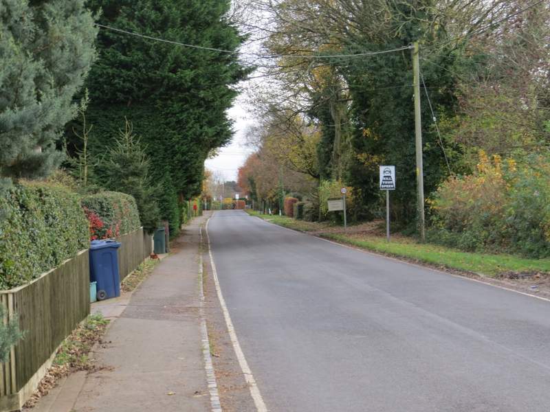
The road through Bledlow Ridge (which is the name of the village and the hill it stands on) - I turned left almost opposite the 30mph sign
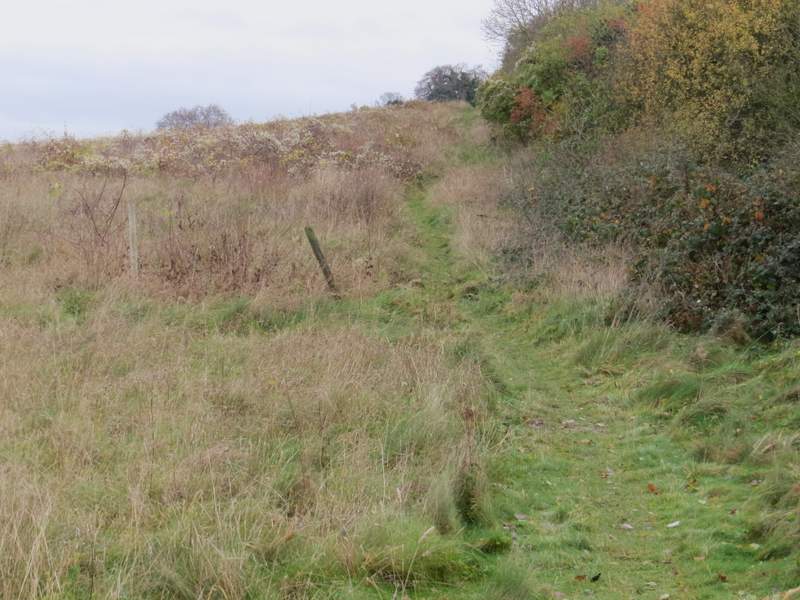
The path ran between gardens and then some small enclosures, before entering a corner of a sheep pasture that sloped down the hillside. The path went half-right across the pasture, then followed the row of trees on that side of the pasture. Over a stile in the corner, I continued downhill through a smaller pasture, before crossing a flat arable field to reach a drive (there was a hedge surrounding a bungalow on my left here). I turned right along the drive and soon reached a minor road.
Near the start of the path from Bledlow Ridge
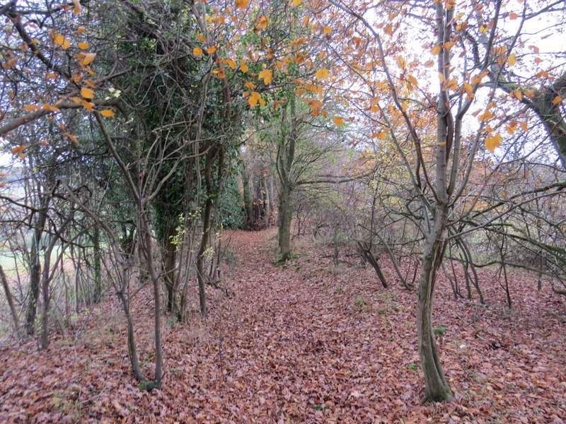
The path from Bledlow Ridge
The path from Bledlow Ridge
The path from Bledlow Ridge - it continues across the stubble field, ending just to the right of the hedge surrounding the bungalow
The drive (from Lodge Hill farm) - I turned left at its end along a road, behind the hedgerow shown here
I turned left along the road and turned right onto a footpath at the brow of a small rise (I was careful here, as I was worried that cars coming the other way wouldn't see me to the last moment). This path followed a hedgerow on my right through two large overgrown fields, gradually rising up to the top of Slough Hill. The path then ran through a small area of trees as it continued down the other side of this small hill, before emerging and continuing down the side of an arable field to meet a lane. On the other side of the lane, the path continued along the drive to Nobles Farm.
The path up Slough Hill
The path up Slough Hill (the tree centre-top is on the top of the hill)
The path continuing down Slough Hill
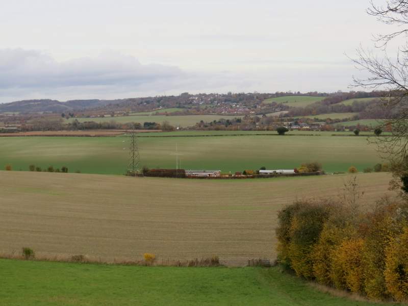
The path continuing down Slough Hill - you can see the start of the drive to Nobles Farm and Allnutt's Wood
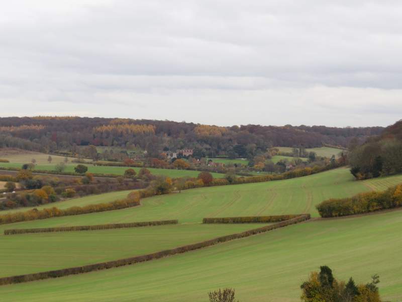
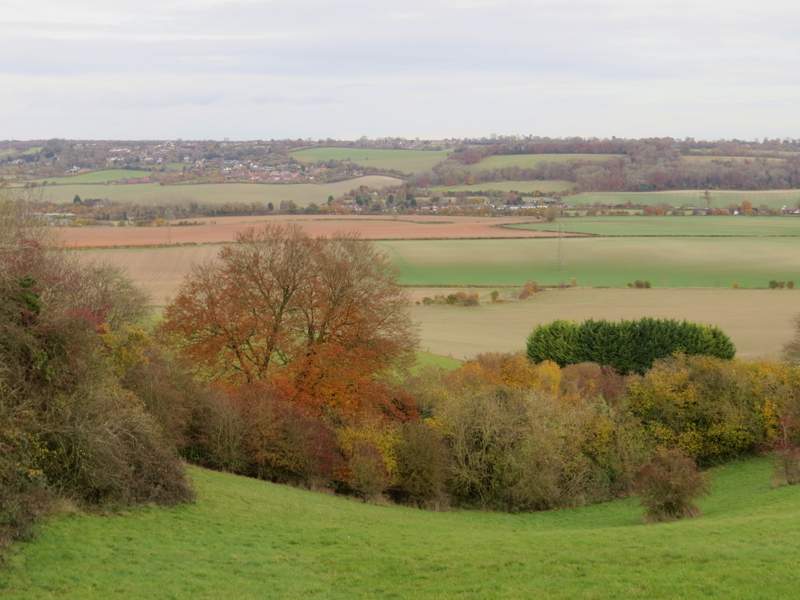
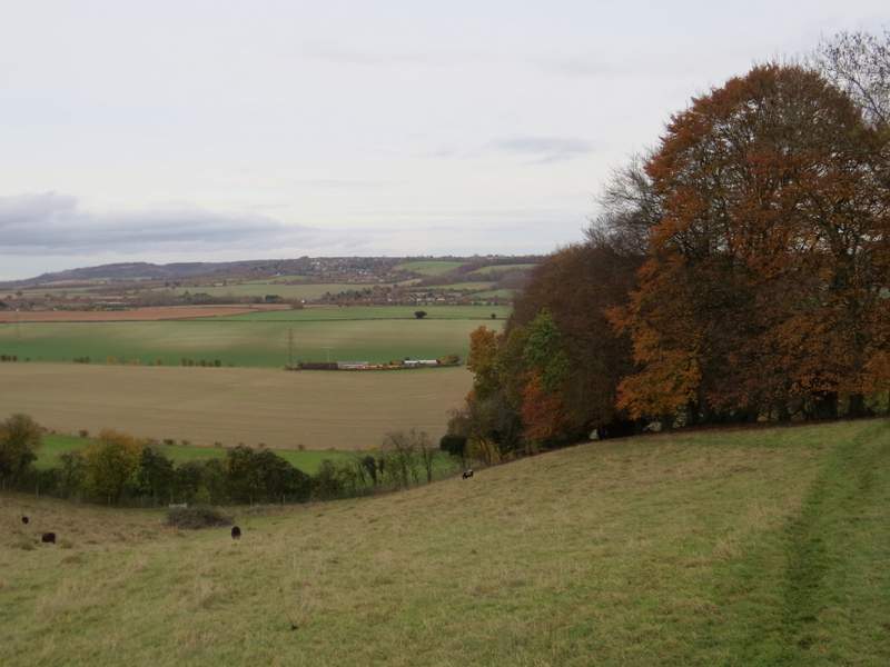
A zoomed-in shot from the same spot, looking towards Bradenham
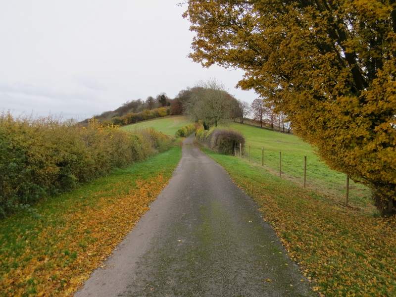
The start of the drive to Noble's Farm