Pete's Walks- Wigginton and Barn Wood (page 3 of 5)
If you are considering walking this route yourself, please see my disclaimer. You may also like to see these notes about the maps and GPX files.
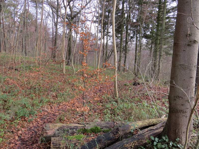
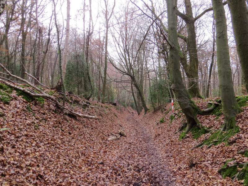
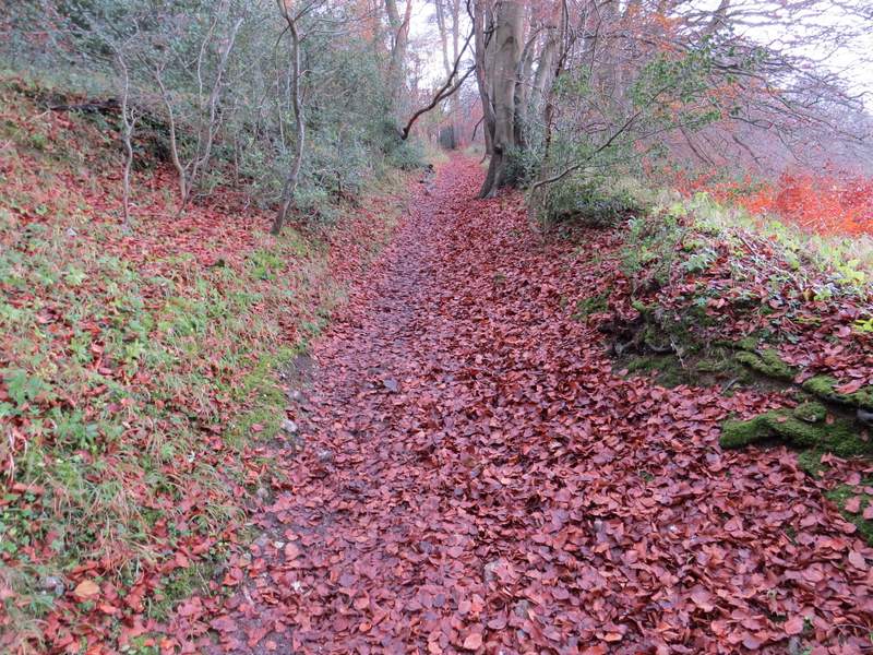
The runners were also coming this way, along this narrow path through the trees, but they turned left when a wider path crossed. I had to check my OS map here, before continuing straight on, as the path now became very narrow and faint. But I soon reached a junction with another path, where a waymark indicated the footpath went left. After a few yards the public footpath turned right at another waymark post, but I went straight on along another faint path (this is all an Open Access area) which rose uphill at a fairly easy gradient. A little to my right, through the trees, I could see an old sunken lane. Near the top of the slope I came to a junction, where I turned right and almost doubled-back on myself to follow another section of the Ridgeway as it descended the sunken lane or 'hollow way'. Near the bottom of the slope, the Ridgeway turned left out of the sunken lane (I could have omitted an up and down, by turning left with the public footpath and then turning left at the next junction to get here instead), and followed another path back up hill - I was back on the course of the race, and another competitor went past me here (the one I asked how long the race was). At the top of the slope, the path levelled out and turned slightly right, soon reaching Hale Lane.
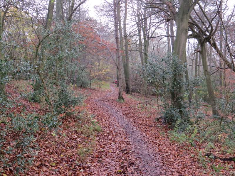
The path after I turned left from the path from the visitor centre
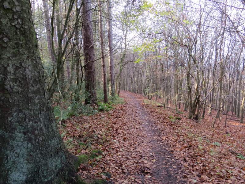
The path continuing uphill just right of the sunken lane
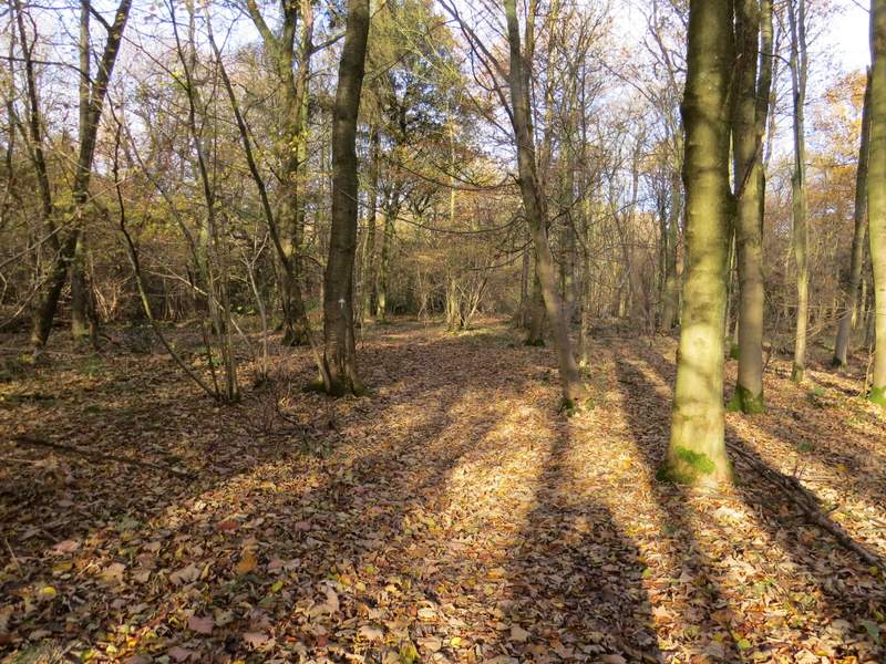
The Ridgeway, descending the sunken lane
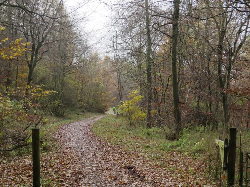
The Ridgeway going back uphill, after turning left from the bottom of the sunken lane
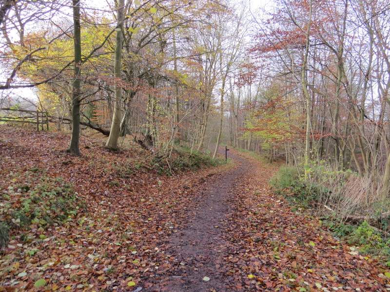
The Ridgeway continuing towards Hale Lane
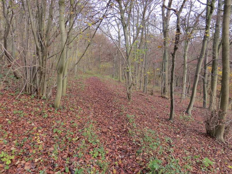
I went a few yards right, then the Ridgeway continued along a track on the other side of the lane. It was now a very easy mile of walking, the clear track running through Hale Wood and then Barn Wood, with the steep slope of the Chiltern escarpment descending through the trees on my right. I ignored two or three paths on either side, and then just after the path descended slightly I turned left where a wooden fingerpost marked the junction.
The Ridgeway on the other side of Hale Lane
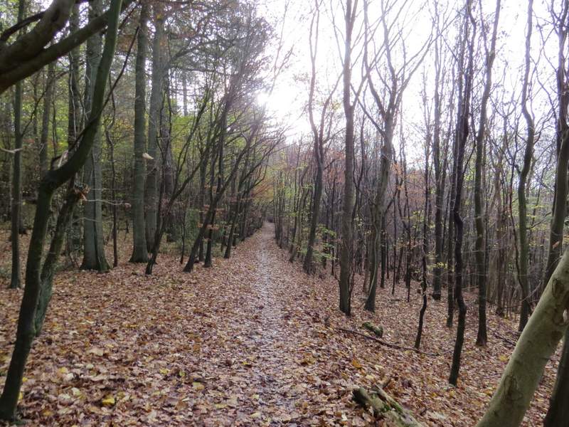
The Ridgeway continuing through Hale Wood
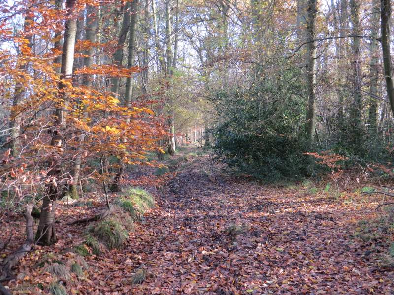
The Ridgeway continuing through Barn Wood
The Ridgeway continuing through Barn Wood
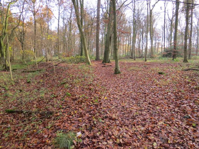
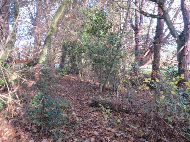
The path led a short way gently uphill through part of Barn Wood, then joined a track which it followed to the left. This track through the wood was the muddiest bit of the whole walk, which didn't surprise me as I remembered it being very muddy on previous visits. After a few hundred yards another footpath crossed - here I went straight on for a few yards, then followed the path as it turned left, still in Barn Wood. The path was going north here - despite having walked this path many times before, I misremembered it and for some reason thought it curved right (east) - it does turn right, but only very slightly. On reaching the edge of the wood, the path continued northeastwards through a tree belt with fields either side.
The footpath after I turned left from the Ridgeway in Barn Wood, just before it turns left along a track
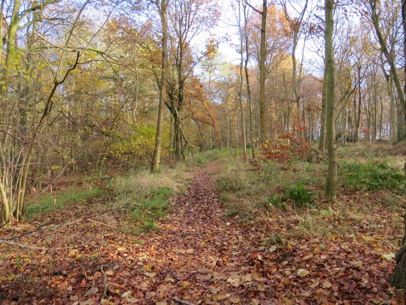
The footpath through Barn Wood
The footpath through Barn Wood
The footpath through Barn Wood, after I turned left again
The path continuing from Barn Wood, running through a tree belt separating two fields
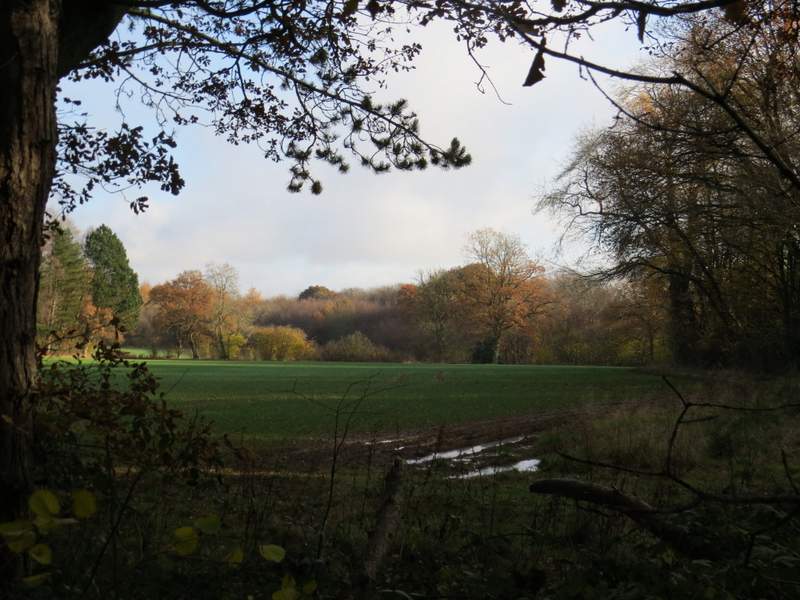
Looking out at one of the fields next to the tree belt