Pete's Walks- Wigginton and Barn Wood (page 4 of 5)
If you are considering walking this route yourself, please see my disclaimer. You may also like to see these notes about the maps and GPX files.
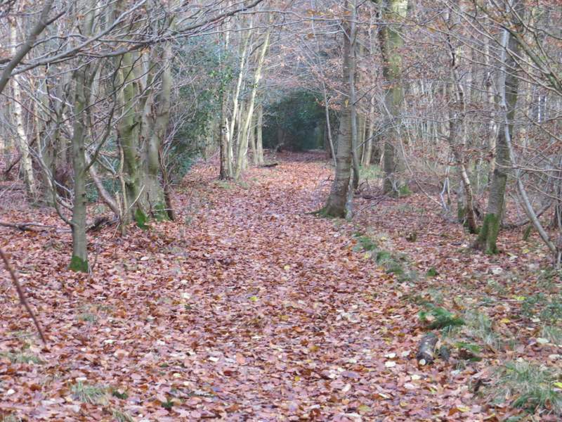
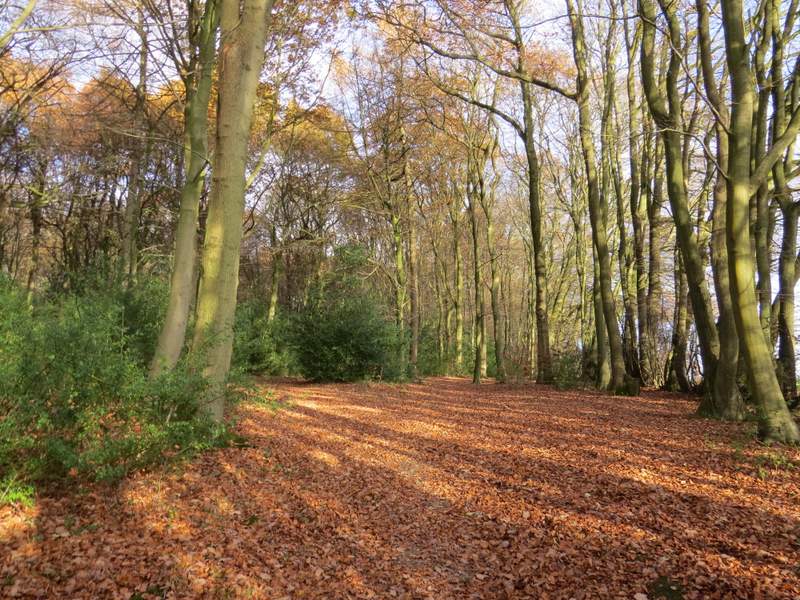
At the end of the tree belt, the path went a few yards right into the corner of the field on that side, then turned left to continue northeast again, now through another bit of woodland. A few yards to my left was an earth bank, part of the ancient earthwork called Grim's Ditch. After a short distance there was a gap where a footpath crossed and I could see out to fields either side again (both of which appeared to be surrounded by woods on all sides). My path now went slightly right, before returning to the same north-easterly course as before, as it progressed through Baldwin's Wood. After almost another half-mile the path ended at a lane junction, where I took the lane going straight on. In a little under half a mile, this brought me to another lane junction, in the village of St Leonards.
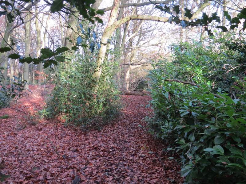
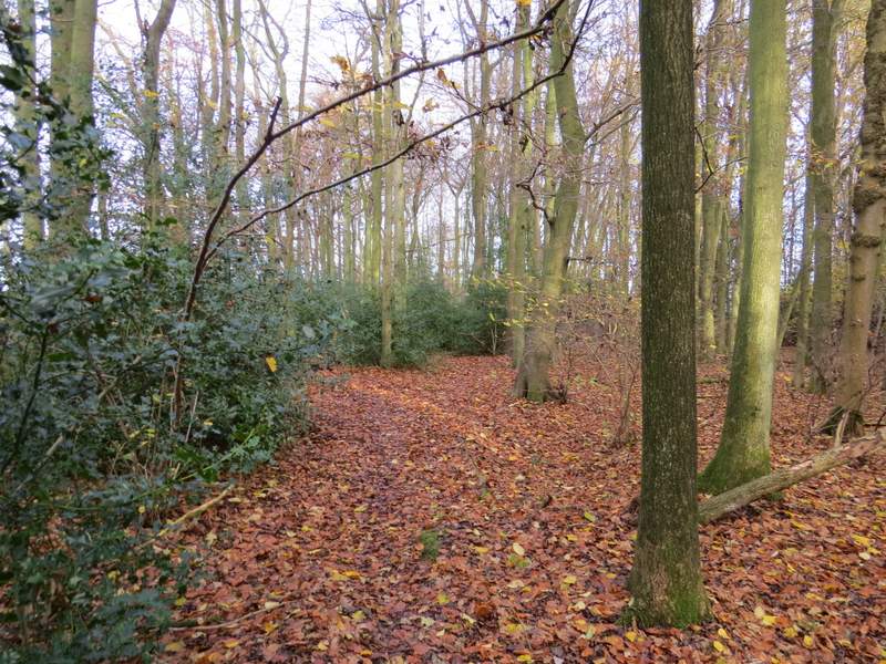
The path continuing close to Grim's Ditch
The path continuing close to Grim's Ditch
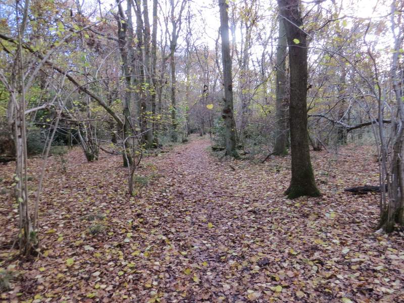
The path approaching the lane junction
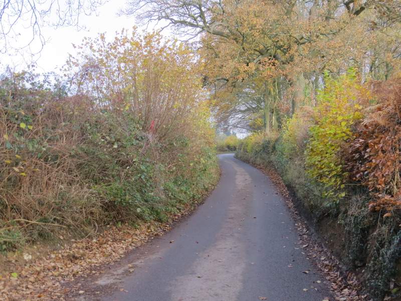
The lane to St Leonards
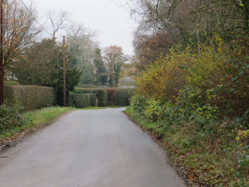
The lane to St Leonards
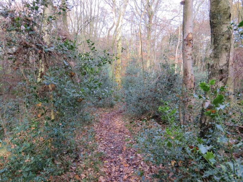
Across the lane junction I entered a caravan park, taking the first turning on the right, then turning left through a parking area. The public footpath then went through a gate and ran alongside a fence (of sorts) on my left across a pasture (there were a few Alpaca here). I then followed tractor tracks across two ploughed fields to reach another lane or road junction (I sat on the stile here to eat my packed lunch).
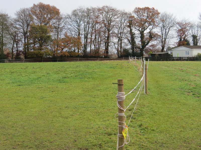
The footpath from the caravan site (there were Alpacas in this field)
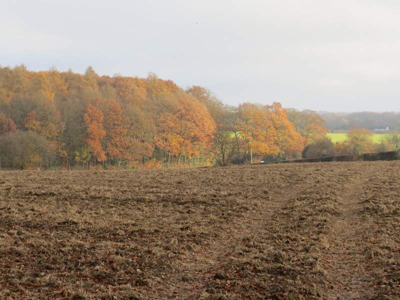
The footpath continuing towards Buckland Wood
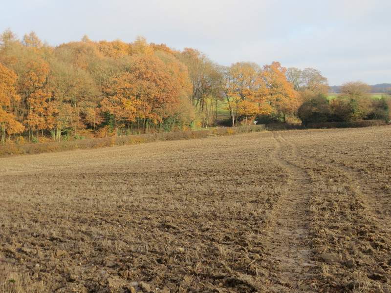
The footpath continuing towards Buckland Wood
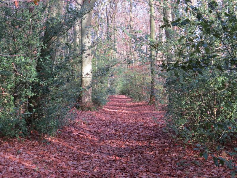
Across the road a path entered Buckland Wood. The path stayed quite close to the edge of the wood on my right, then when I reached a waymark post where another path crossed, it went slightly left through an area of young beech trees that had been planted in rows. The path then continued through another area of wood where there was much holly - it was similar after I passed a junction where I took the right-most of two paths going slightly left (this is NOT how the paths are shown on the OS map, which indicated that I had to turn right for a distance then turn left). I soon moved imperceptibly from Buckland Wood into Drayton Wood, and gradually drew quite close to an edge of the wood on my left. When I eventually reached another path junction, I turned right, still in Drayton Wood. This path soon turned slightly left, and further on I kept left at a footpath fork (which is further on than the OS map would seem to suggest).
The path through Buckland Wood
The path through Buckland Wood
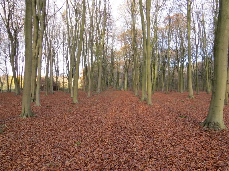
The path through Buckland Wood
The path through Buckland Wood
The footpath through Drayton Wood
The footpath through Drayton Wood after I turned right