Pete's Walks- Wigginton and Barn Wood (page 5 of 5)
If you are considering walking this route yourself, please see my disclaimer. You may also like to see these notes about the maps and GPX files.
The path ended on an edge of the wood, where I turned left along a bridleway. Where the arable field on my right ended, I turned right into another part of Drayton Wood. The path stayed close to the edge of the wood, close to the same arable field on my right, which is not what is shown on the OS map. After several hundred yards, I stayed on the path as it turned left, still just inside another edge of the wood (there are some path junctions here, and again they do not match what the OS map shows - I just followed the path that kept me just inside the wood). There were now some paddocks bordering the wood.
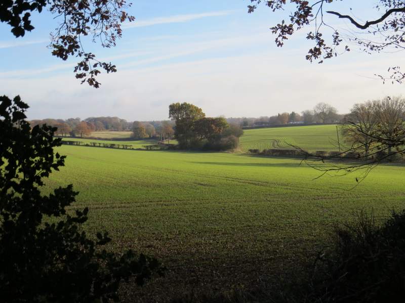
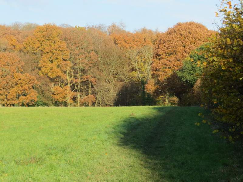
View from the edge of Drayton Wood
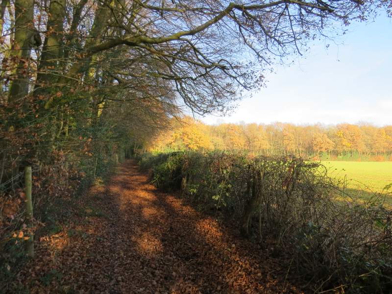
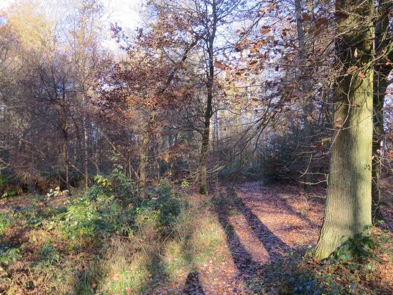
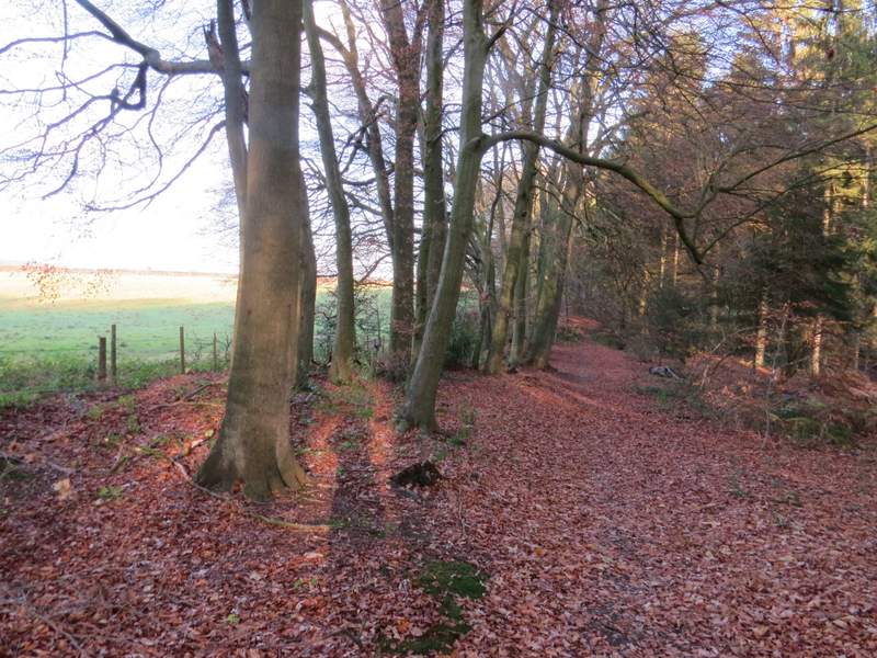
The bridleway along the edge of Drayton Wood
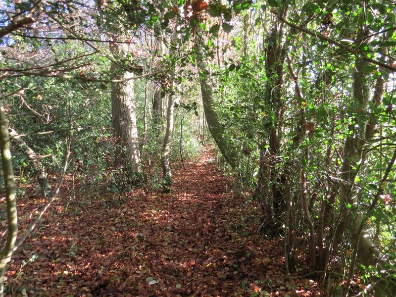
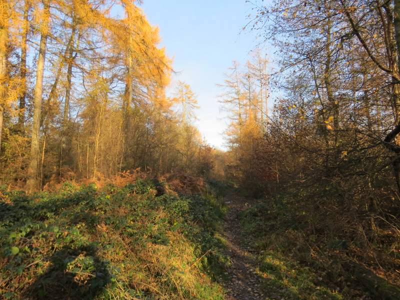
The footpath going southeast just inside Drayton Wood
The footpath going southeast just inside Drayton Wood
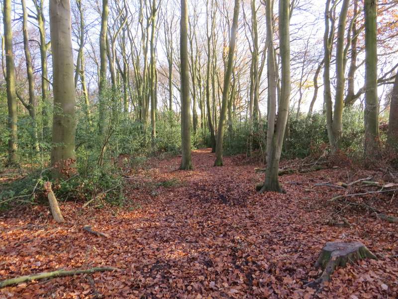
The footpath going southeast just inside Drayton Wood
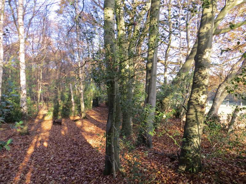
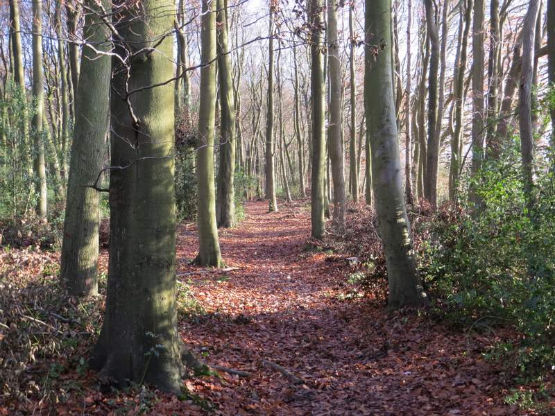
The footpath going northeast just inside Drayton Wood
The path ended on Shire Lane (marking the border between Bucks and Herts). A few yards to the left, I took a path on the other side, which followed a hedge on my right through a field with horse jumps in it (there were also jumps built into the hedge). The path then continued through a wood called High Scrubs, almost immediately crossing a bridleway. On the far side of the wood, I crossed another lane and carried on through Roundhill Wood. After a while there was a field just to my left, and at the end of this field I turned off the path and went through a kissing-gate on the edge of the wood.
The footpath to High Scrubs
The path through High Scrubs
The path through High Scrubs
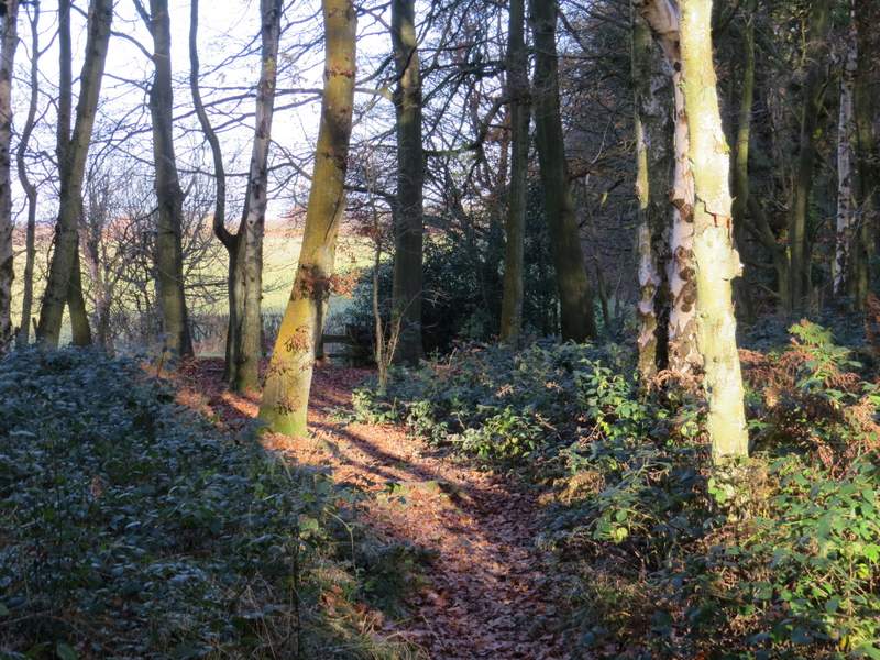
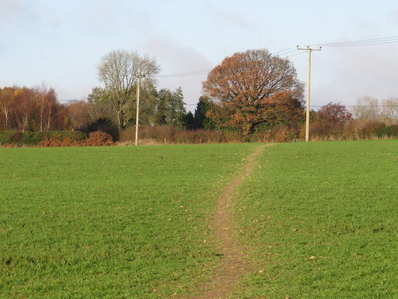
The footpath through Roundhill Wood
The footpath through Roundhill Wood - I turned left from this path where the hedgerow meets the wood
The path went diagonally across a meadow, then across the corner of another field, before continuing in the same direction as before across a third field. It then went through a metal kissing-gate and crossed an empty pasture to reach a road, on the edge of Wigginton. Here I turned left, and followed the road for a quarter of a mile or so to return to the car park where I'd started.
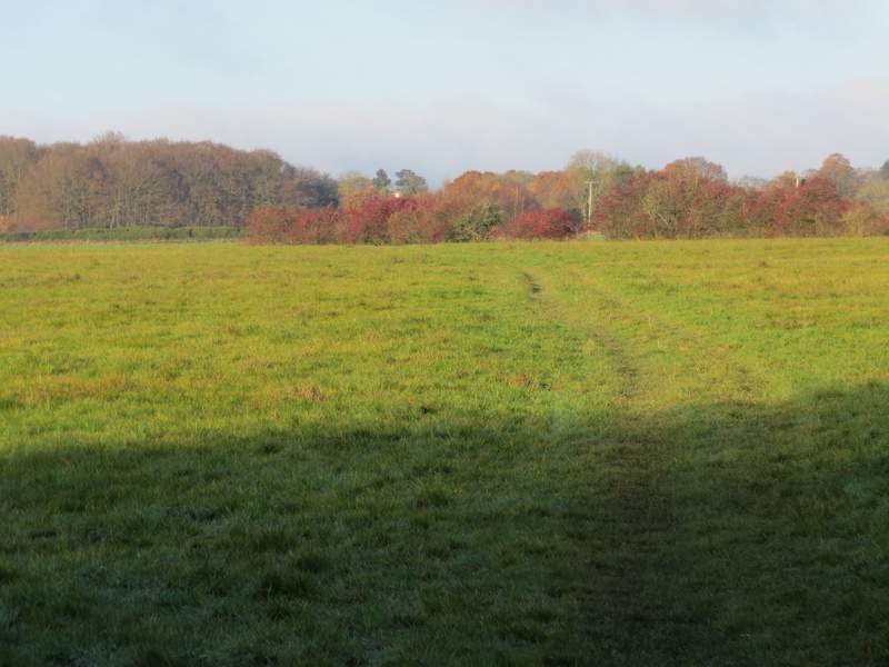
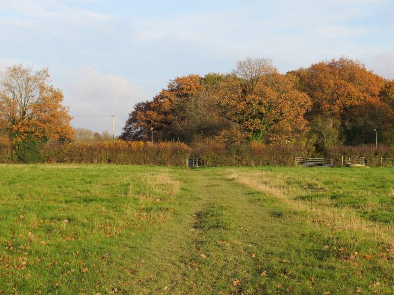
The footpath from Roundhill Wood to Wigginton
The footpath from Roundhill Wood to Wigginton
The footpath from Roundhill Wood, approaching the road on the edge of Wigginton
This was a pleasant walk, though fairly flat without many ups and downs. Although most of the paths were ones I've walked many times before, there were a few that I'd not walked since the last time I did this route, in 2011, so that made it a bit ore interesting for me. Overall I enjoyed it, it's not one of the best routes I've ever come up with but I'd be happy to walk it again sometime. However, I'd still hesitate to recommend it to anyone else, as the paths on the ground do not match the OS map in two or three places..