Pete's Walks- Maidensgrove Common and Henley (page 3 of 6)
If you are considering walking this route yourself, please see my disclaimer. You may also like to see these notes about the maps and GPX files.
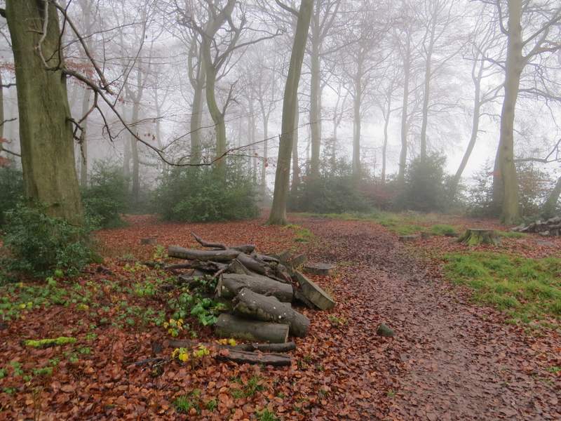
I followed the left edge of the green here, soon joining a gravel drive. On reaching the lane through the hamlet I turned left along it. After one or two hundred yards I turned left onto a footpath, immediately before a cottage. The path ran between fences or hedges, dropping down into a valley and then up the other side, with mainly orchards on my right. At the end of the path I reached Rocky Lane (which I'd crossed earlier to reach Padnell's Wood), where I turned right. When the lane started turning right, I took a path going straight on, just inside Pissen Wood.
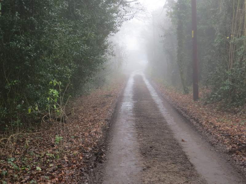
The lane in Shepherd's Green
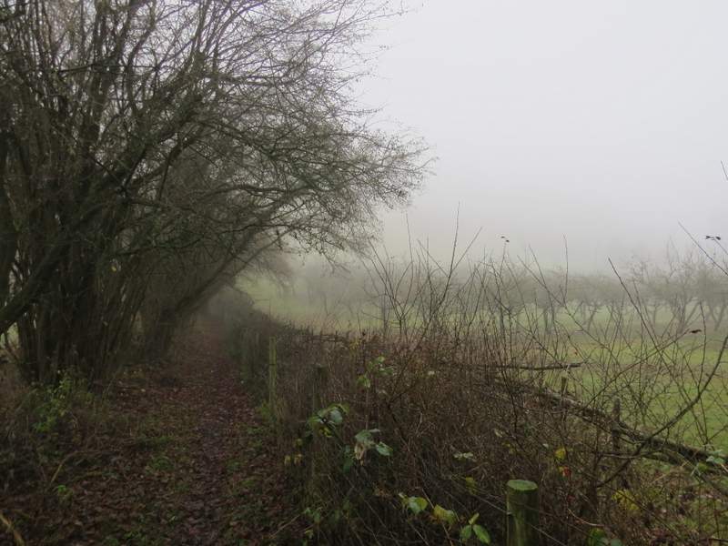
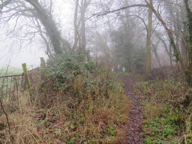
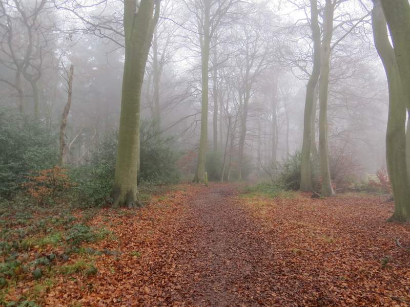
The path from Shepherd's Green to Rocky Lane
The path from Shepherd's Green to Rocky Lane
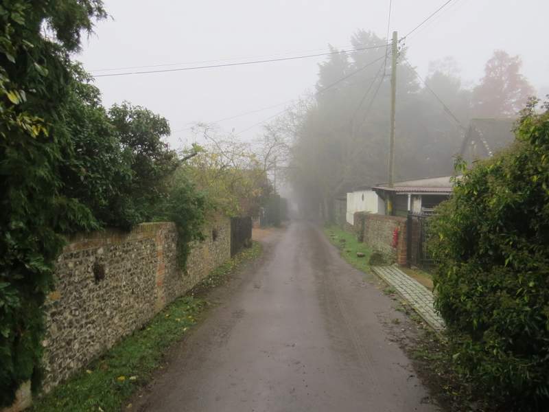
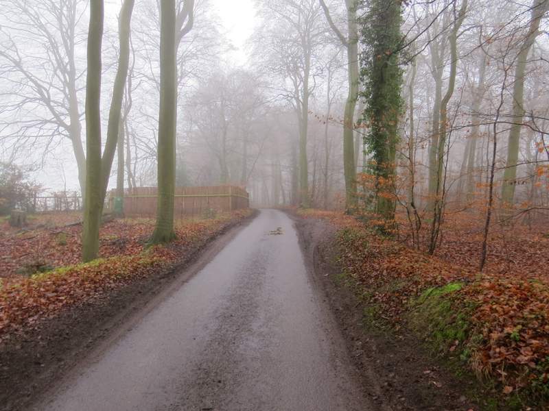
Rocky Lane
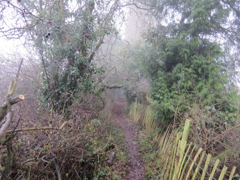
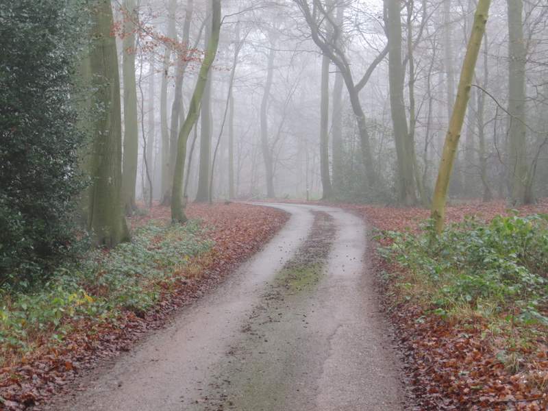
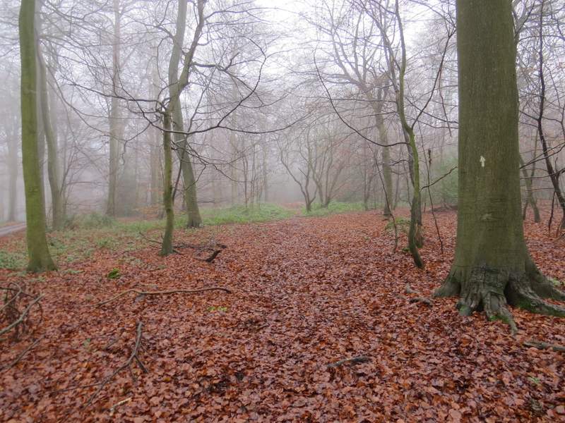
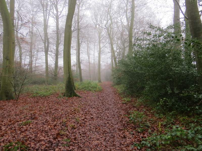
The start of the bridleway through Pissen Wood
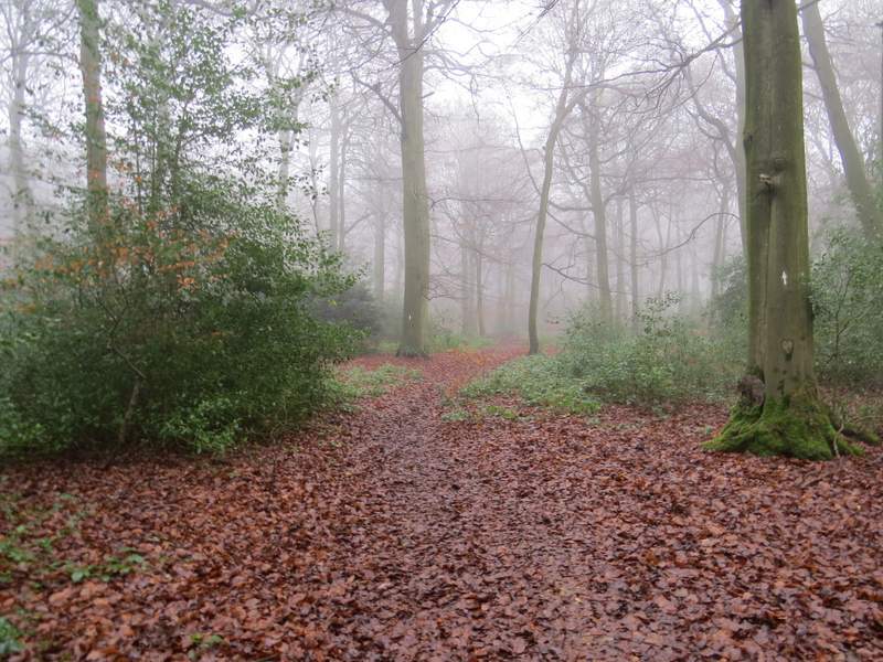
I soon came to a path junction, where I went straight on, now on a bridleway which went steeply uphill (for longer than I remembered, I was puffing a bit when I got to the top). I've always though this next section was in Earl's Court, but looking at the OS map again it seems I was in a long narrow extension of Pissen Wood. After another quarter mile or so the bridleway entered Famous Copse (I still don't know the origin of its name, but wonder if it's anything to do with the Fleming, family who own a local estate - Peter Fleming, the James Bond author's brother, named a nearby wood Tartary after a successful book of his own called 'News from Tartary' ). After another half a mile or so the bridleway ended on a lane, by which time the wood (either side of the lane) was Lambridge Wood.
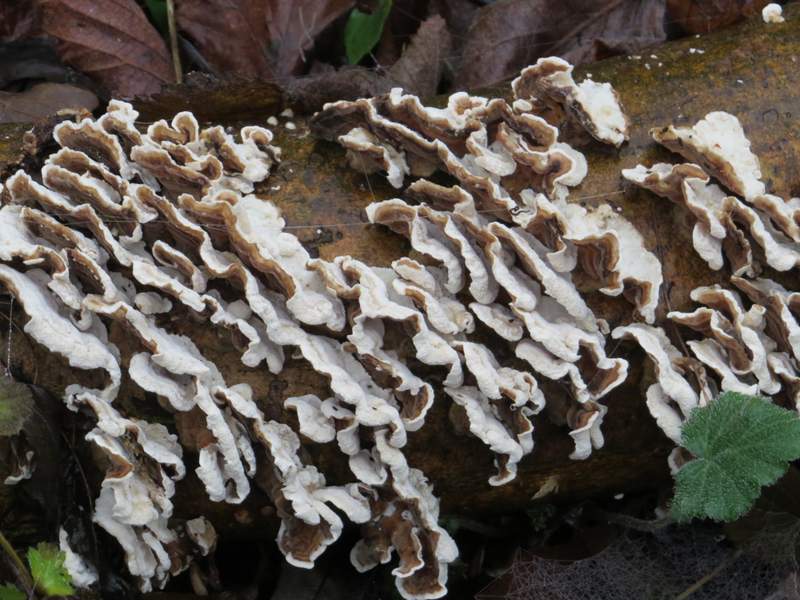
Fungi in Pissen Wood - just to make a change from a photo of a foggy wood!
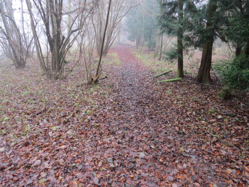
The bridleway through Pissen Wood
The bridleway continuing through Pissen Wood (I thought it was Earl's Wood when I was here), after the uphill bit
The bridleway continuing through Pissen Wood
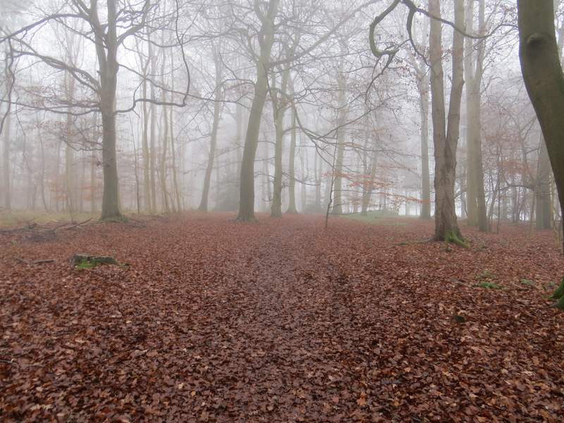
The bridleway as it reaches Famous Copse

The bridleway continuing through Famous Copse
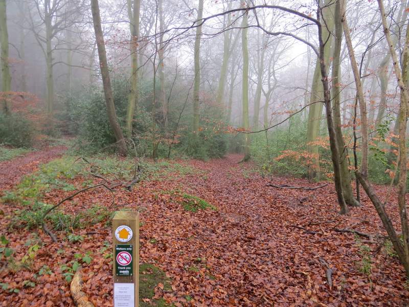
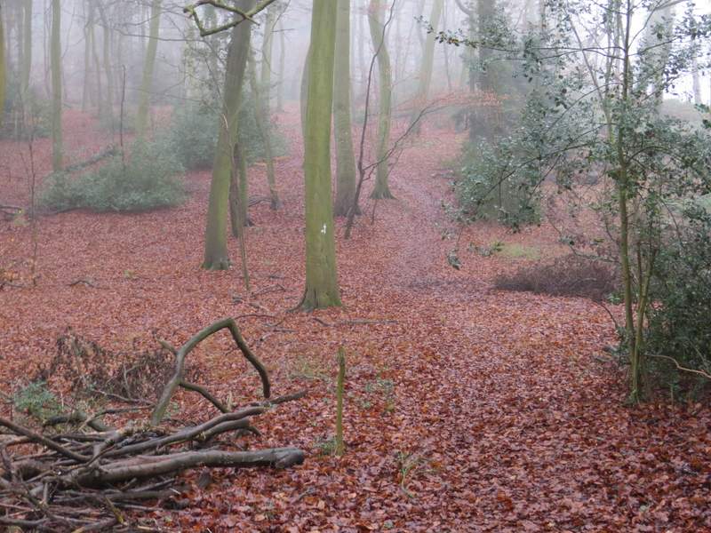
I turned left and followed the lane for about a quarter of a mile to reach a lane junction. Here I turned right along a bridleway that followed a long surfaced drive. Where this turned slightly left, I went straight on along a footpath heading southeast through more of Lambridge Wood. I had to follow this path for about a mile, navigation being straightforward as I just had to go straight on, ignoring various crossing paths or paths going off left or right. The only possible point of confusion was where there were two almost parallel paths going straight on, but a notice and a waymark indicated that the right-hand one was the right of way (the notice said it had been re-aligned onto its correct course, so presumably people had been mistakenly using the other path).
The lane through Lambridge Wood
The start of the bridleway in Lambridge Wood (there is a waymark post in the centre of the photo, where the footpath I took forks right from the bridleway
Near the start of the long footpath going southeast through Lambridge Wood
The long footpath going southeast through Lambridge Wood
The long footpath going southeast through Lambridge Wood. The sign under the waymark said the the path had been re-aligned back onto its original course, presumably people had been following the more obvious path just to the left
The long footpath going southeast through Lambridge Wood
The long footpath going southeast through Lambridge Wood