Pete's Walks- Cholesbury and Whelpley Hill (page 2 of 5)
If you are considering walking this route yourself, please see my disclaimer. You may also like to see these notes about the maps and GPX files.
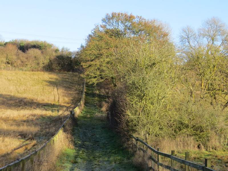
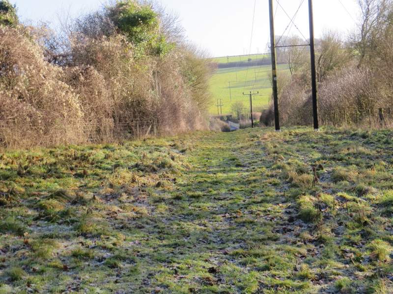
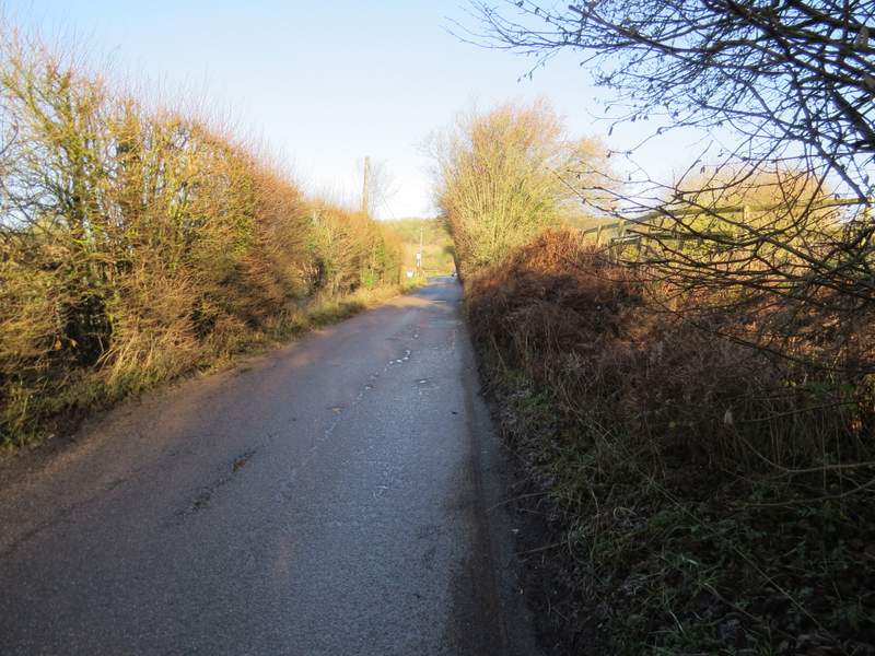
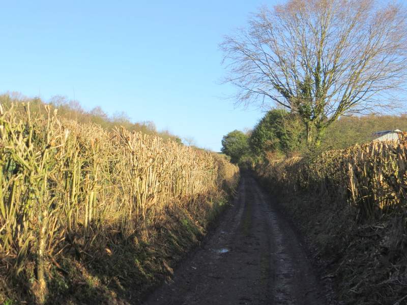
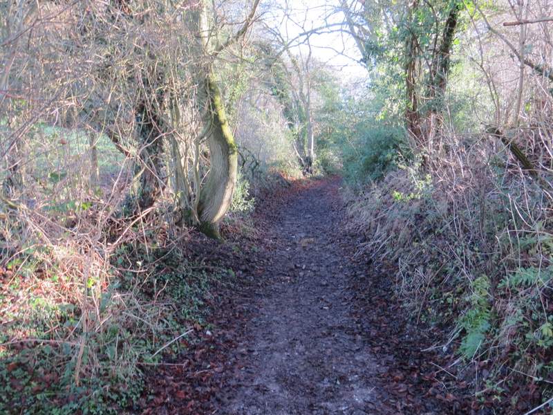
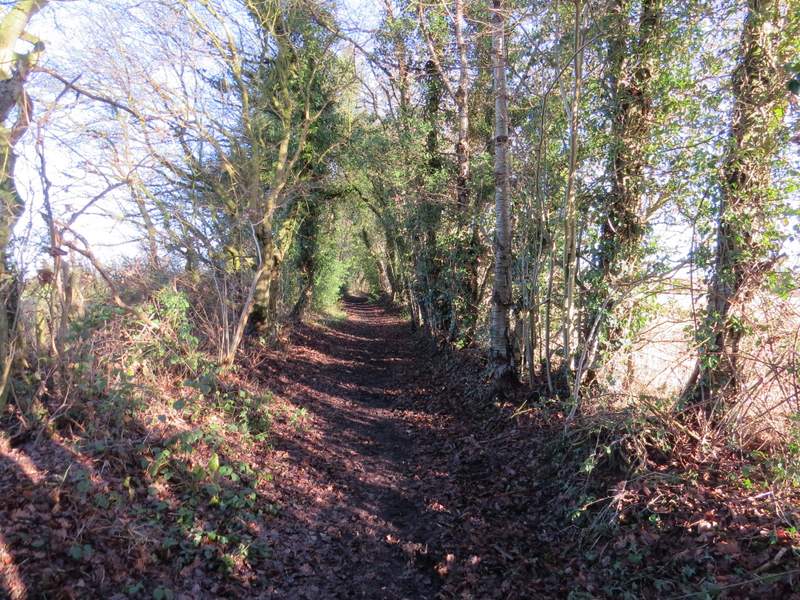
I followed the byway along the valley past the former Ostrich farm, and then took a path on the left immediately before the first house I came to. This ran between fences and climbed partway up the other side of the valley. I then turned right and followed a path past Bower Farm to reach a minor road running through Chesham Vale. I went left for a short distance, before taking a bridleway on the right (starting opposite a pub). This ran between hedges for a long way, gradually climbing gently uphill, turning sharply left at one point (where a path seems to go straight on). Beyond Flamstead Farm, it continued between hedges of mainly Holly to reach Hog Lane in the village of Ashley Green.
The path from the former Ostrich farm
The path after I turned right, to pass Bower Farm
The road through Chesham Vale
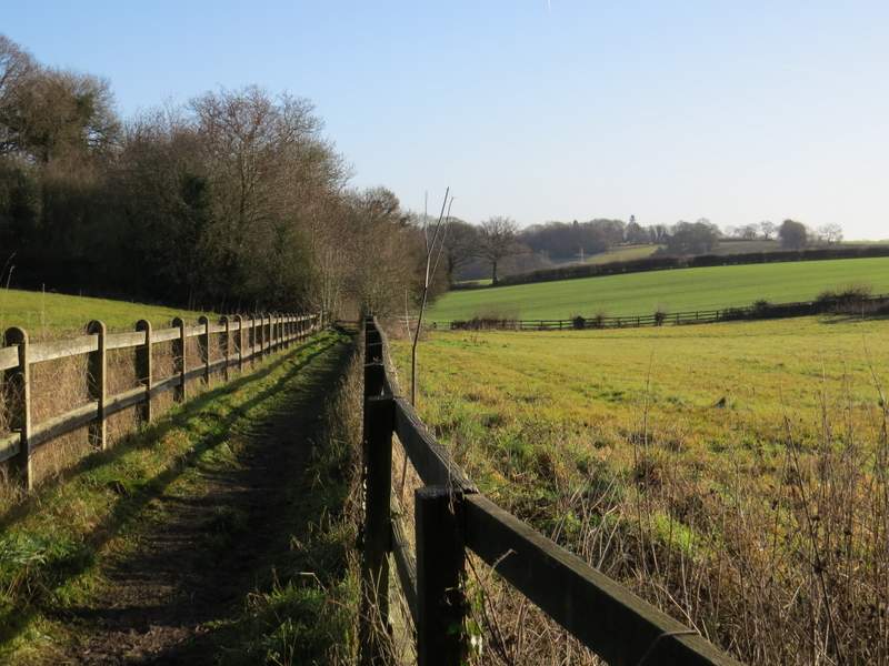
The start of the bridleway to Ashley Green
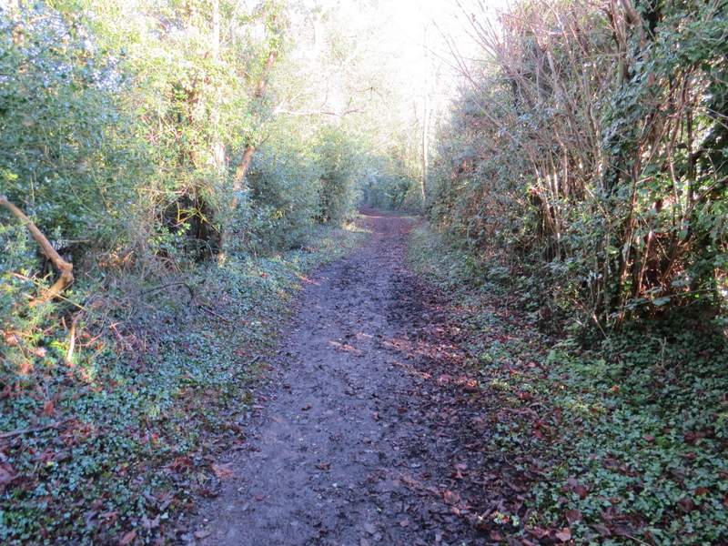
The bridleway to Ashley Green
The bridleway to Ashley Green
The bridleway to Ashley Green (after it turns left)
Approaching Flamstead Farm
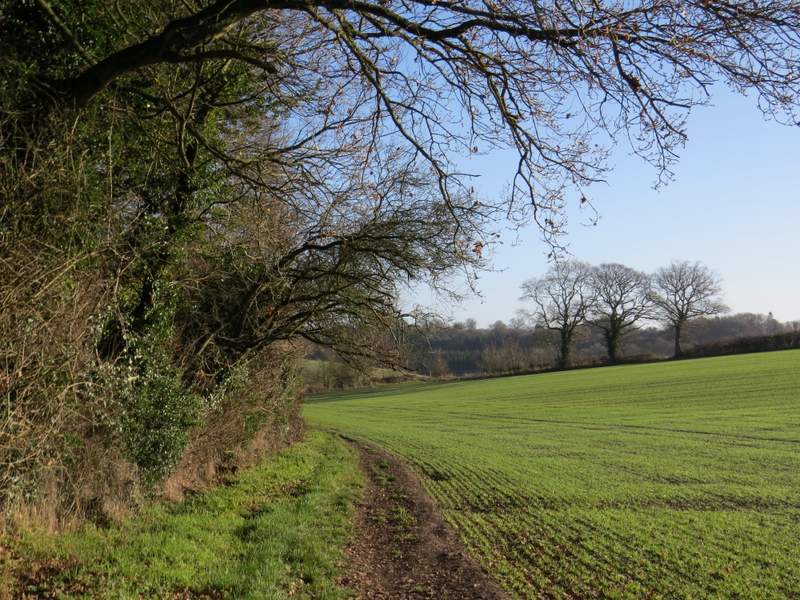
The bridleway continuing from Flamstead Farm to Ashley Green
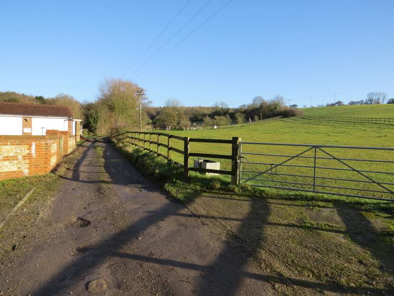
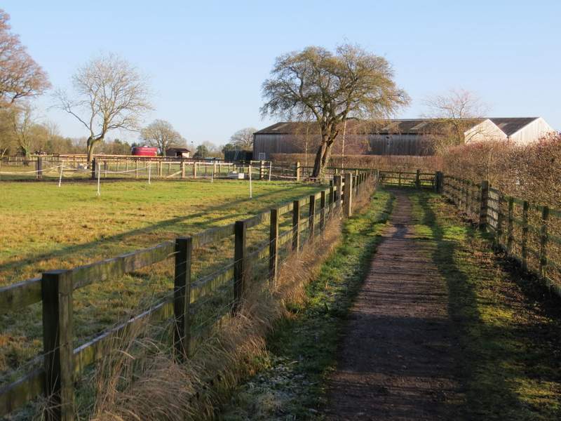
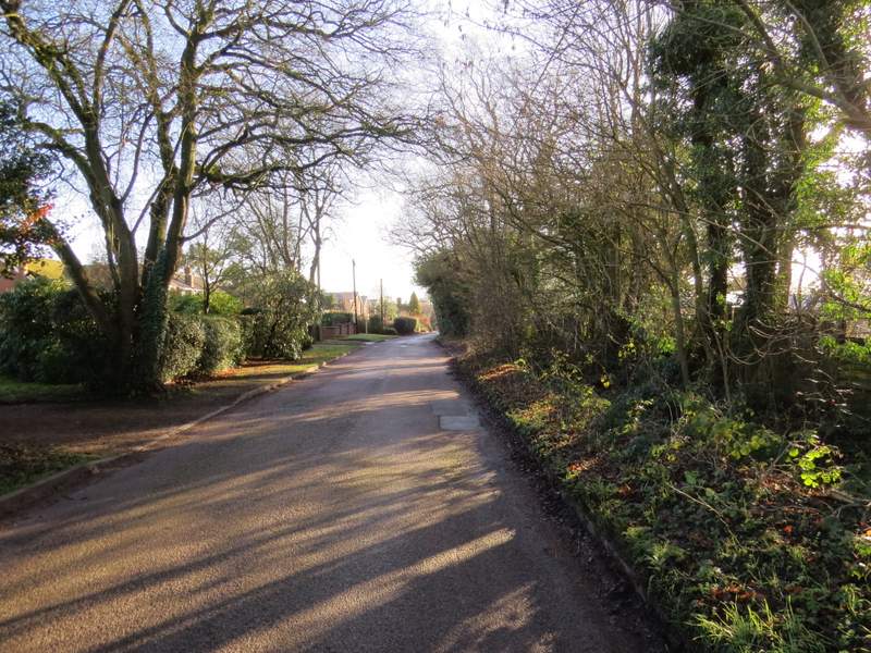
I turned right along the lane, and followed it for about a quarter of a mile to reach the main road through the village (the A416, which I'd come across again later). I crossed the road and went down a track opposite, passing some sort of shelter on the green on my left. The track went between some gardens, then a footpath forked slightly right. This path was soon running eastwards between wooden fences either side, along the bottom of a slight valley. After passing a wood on the left I came to a path junction where I forked right again (the OS map shows a bit of woodland here, but there was just the remains of a hedge). I then crossed a large arable field where, annoyingly, the path had not been restored after ploughing - I needed to go slightly left of straight on, and then aim for a tall electricity pylon to reach a gate just behind it. The path then went half-left and uphill through a large horse field, passing the end of a tree belt protruding into the field from the left, to reach another gate.
Hog Lane, Ashley Green
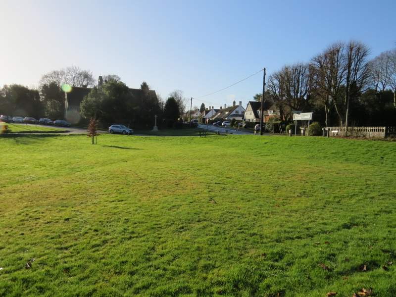
Ashley Green
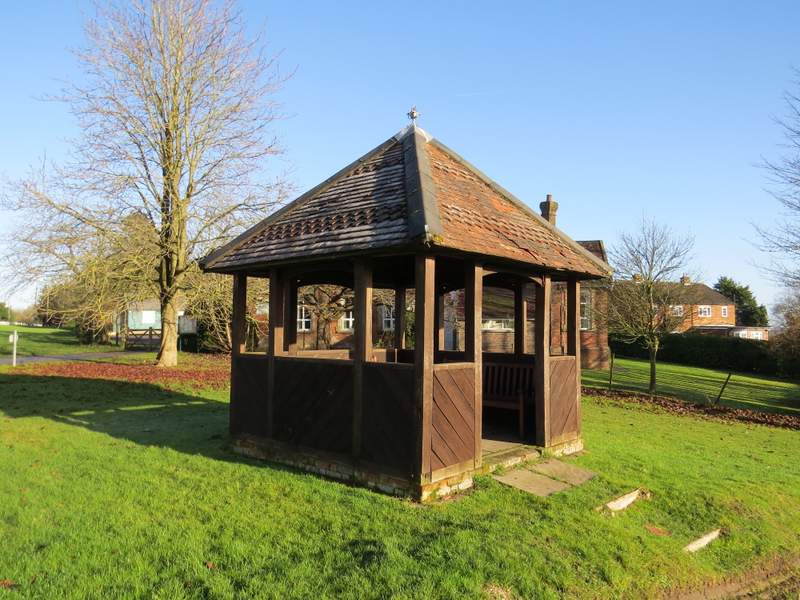
A shelter, Ashley Green
Near the start of the path from Ashley Green, going east
The path from Ashley Green
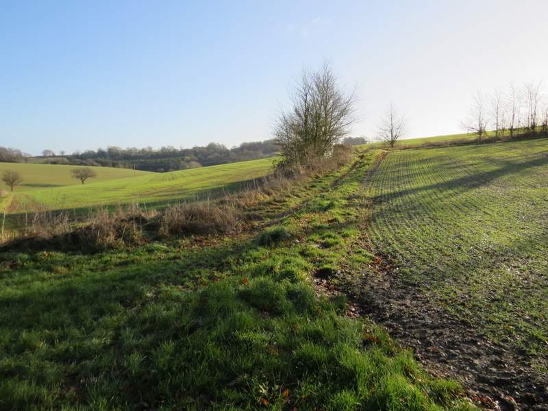
This is where I forked right - ahead is the large field where the path had not been 'restored'
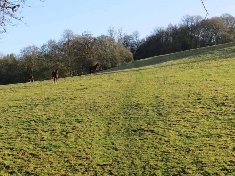
The large horse field