Pete's Walks- Cholesbury and Whelpley Hill (page 1 of 5)
If you are considering walking this route yourself, please see my disclaimer. You may also like to see these notes about the maps and GPX files.
Google map of the walkDownload GPX file of the walk
I did this circular walk of about 14 miles on Monday, 2nd January 2017. It was a repeat of a walk I did in August 2011, but in the opposite (anti-clockwise) direction. There were three or four sections, adding up to about a third of the route, where I was walking the paths in this direction for the first time
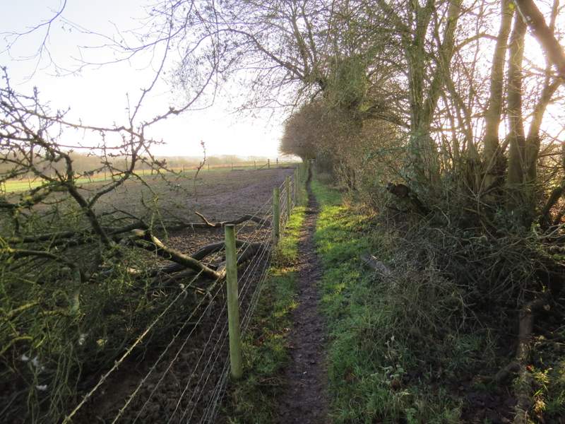
I parked by the cricket ground in Cholesbury, Grid Reference SP 933071, and started walking at about 9.40am. I walked along the road with the cricket pitch on my left and then went down a road called Ray's Hill on the right - when I did the walk the other way round I used a path starting just a few yards right of this road, but I took one look at it this morning and saw, as I'd suspected from previous experience, that it was impassably muddy. At the bottom of a hill I took a footpath on the left (thus ending the only deviation from the route I used in 2011) which went past a cottage and a smallholding behind it. I soon came to a path junction by a corner of a wood, where I forked right. I went past a dell or hollow on my right, then the path became unclear but I correctly guessed it turned right to go uphill between some holly bushes. This looked like it might be a dead end, but then I saw the path continuing half-left through more holly bushes. I soon reached another path junction where I went right, and followed the path close to the edge of the wood on my left.
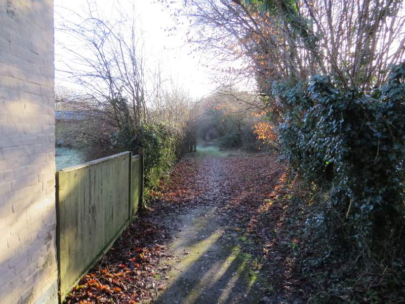
Near the start of the path from Ray's Hill
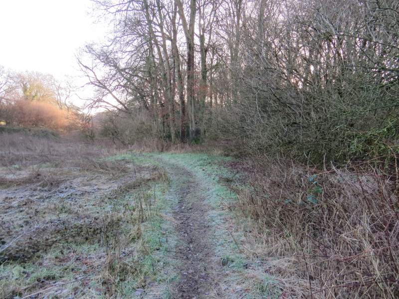
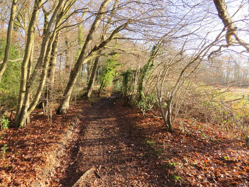
The path from Ray's Hill - I forked right as I reached the trees in the centre of this shot
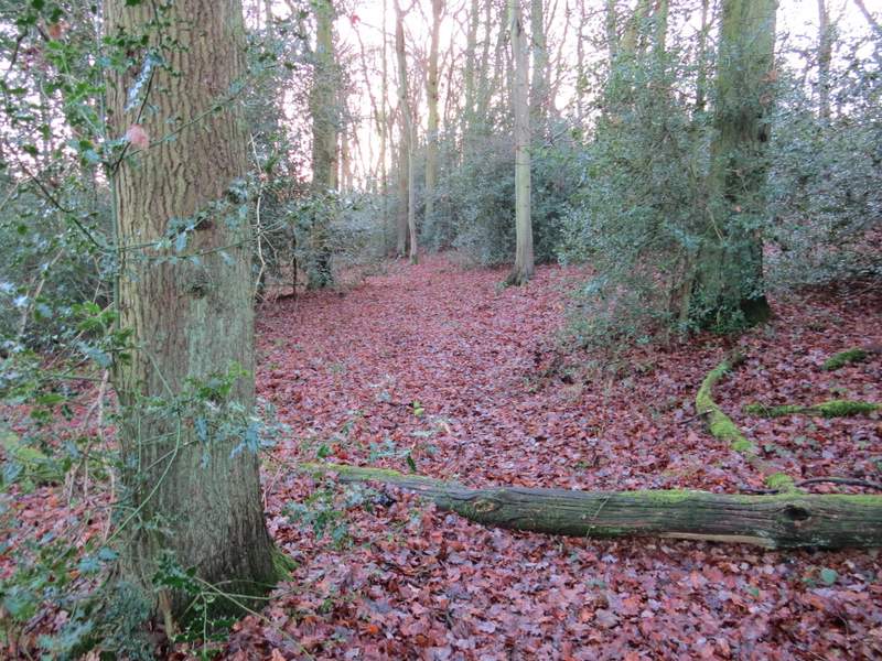
The path after I forked right
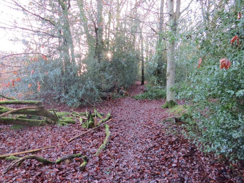
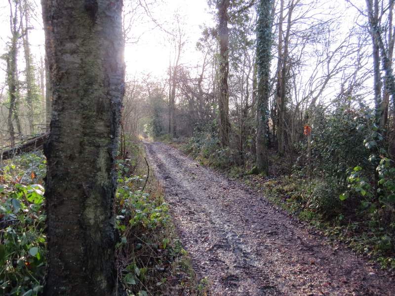
The path after I kept right at the next path junction
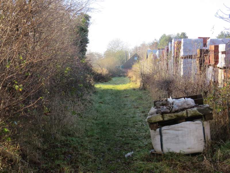
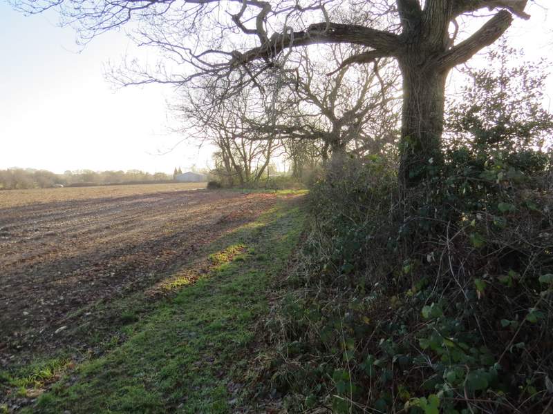
The path continued beside what the OS map describes as 'Works' on my right (it looks like a Builders' Merchants to me). On reaching a path junction at the corner I turned right along another side of the 'Works'. On reaching a brick building that seemed to block the path, I turned left along a path that followed the edge of a ploughed field. After passing a garden and house I turned right to pass in front of the house, then took a bridleway on the left that ran between hedges for a few hundred yards to reach Hawridge Lane. Across this, a path continued straight on, passing 'Animal farm' on my left where there were some enclosures containing pigs and other animals. The path carried on through a pasture that today contained a few Jacob's Sheep and a solitary cow (I've seen a donkey, alpacas and goats here before, I think). In the corner I turned right through a gate, then went left in the next corner. I followed a hedgerow on my right for several hundred yards to reach a gate at a corner of a drive on the edge of Bellingdon., where I went straight on.
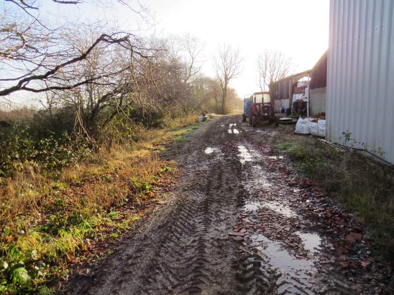
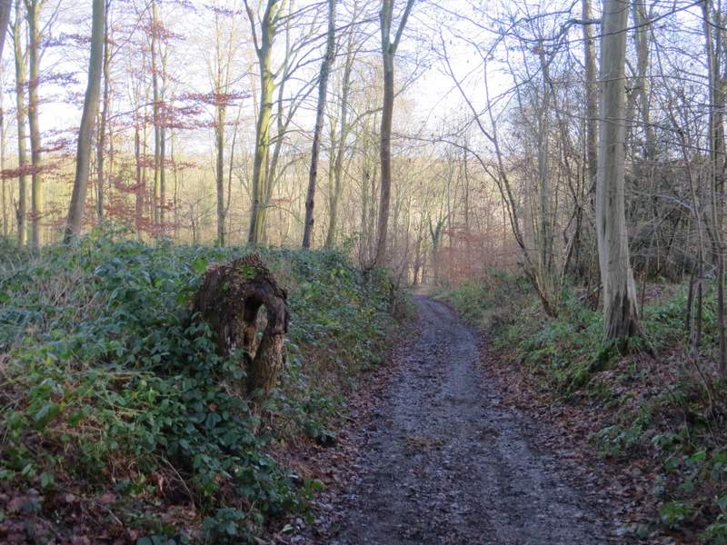
The path continuing past what the OS map describes as 'Works'
The path continuing past what the OS map describes as 'Works', after I turned right (I turned left by the building in the centre of this shot)
The path after I turned left from the 'Works'
The bridleway to Hawridge Lane
The path from Hawridge Lane, running past Animal Farm
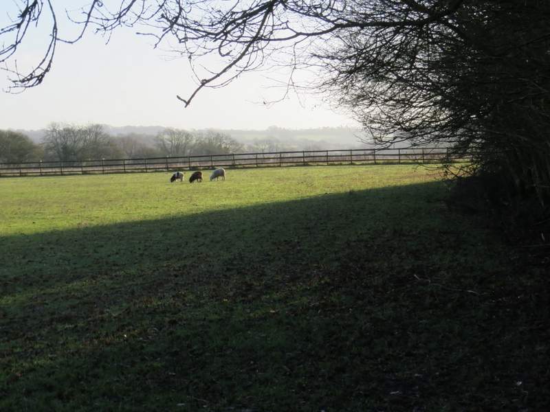
The pasture at Animal Farm (just a few Jacob's Sheep and one cow here today)
The path continuing to Bellingdon (after I'd turned right and then left)
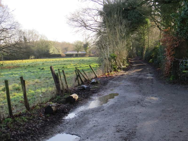
The drive or track at Bellingdon
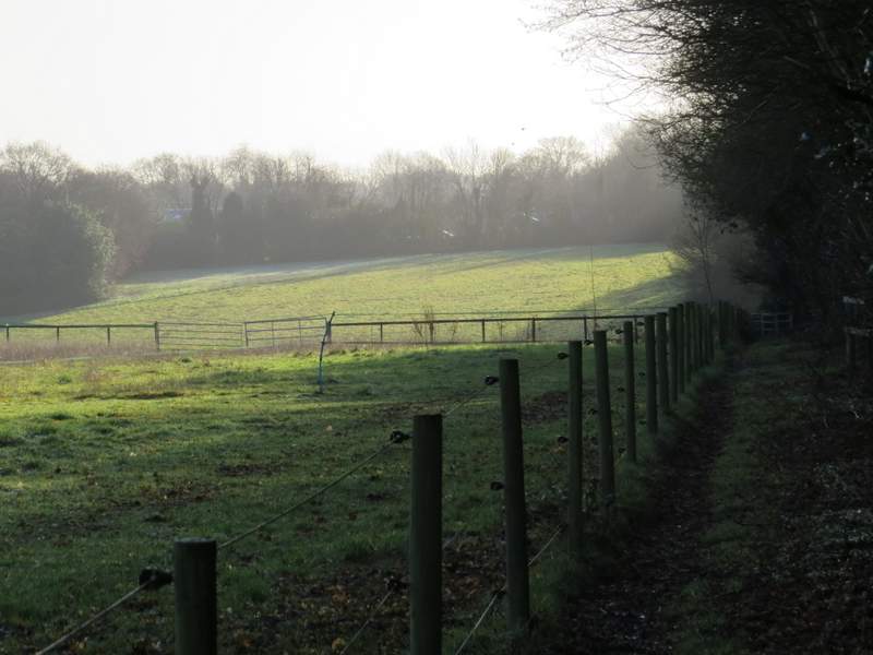
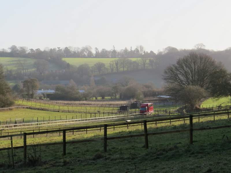
The OS map shows that the drive or track soon becomes a byway, and I stayed with the byway where it turned left, running between hedges to reach Ramscoat Wood. The byway then carried on for several hundred yards beside the wood (as with much of today's walk, I struggled taking photos along here because I was looking towards a low sun), before again turning left and dropping downhill through the wood and turning right along the other side. I was now in a valley called White Hawridge Bottom, with some enclosures or paddocks on my left where there used to be an Ostrich farm.

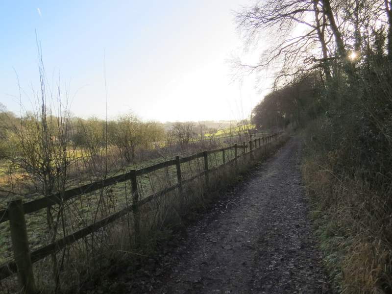
The start of the byway past Ramscoat Wood
The byway running along the edge of Ramscoat Wood
The byway running along the edge of Ramscoat Wood
The byway going downhill through Ramscoat Wood
The byway running along the other side of Ramscoat Wood, next to the former Ostrich Farm
Looking ahead, over the former Ostrich farm