Pete's Walks- Cholesbury and Whelpley Hill (page 4 of 5)
If you are considering walking this route yourself, please see my disclaimer. You may also like to see these notes about the maps and GPX files.
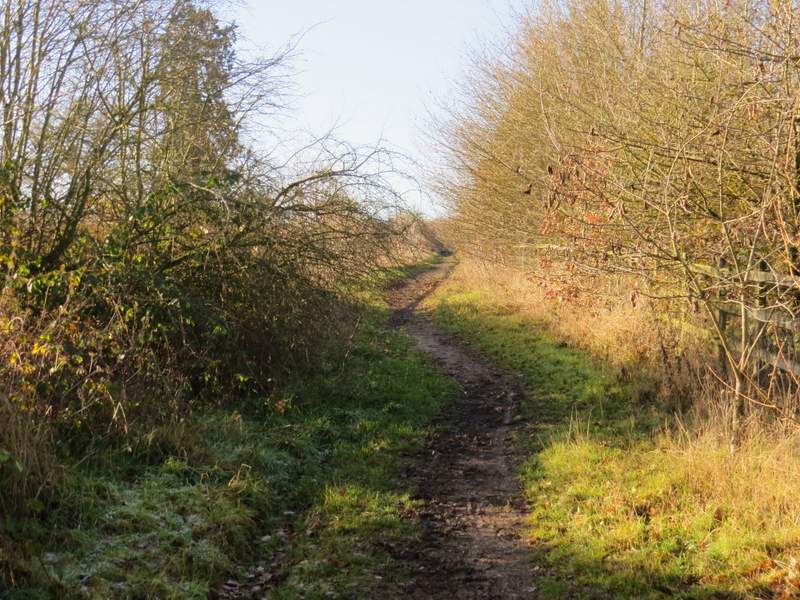
At Bottom Farm I turned right to follow a bridleway along a hedge-lined track. The track turned left then curved right, and when it reached a wood the bridleway left it, forking left through the wood. The bridleway soon came to another track, where I turned left, now on a byway. This ran tor several hundred yards through a wooded area, close to the A41 dual carriageway over to my right. Further on there were fields on my left, and at some point the byway turned right to go under the A41, but I carried straight on along a bridleway. This soon joined a lane at a corner, where again I went straight on, following the lane a short distance to where it met the A416.
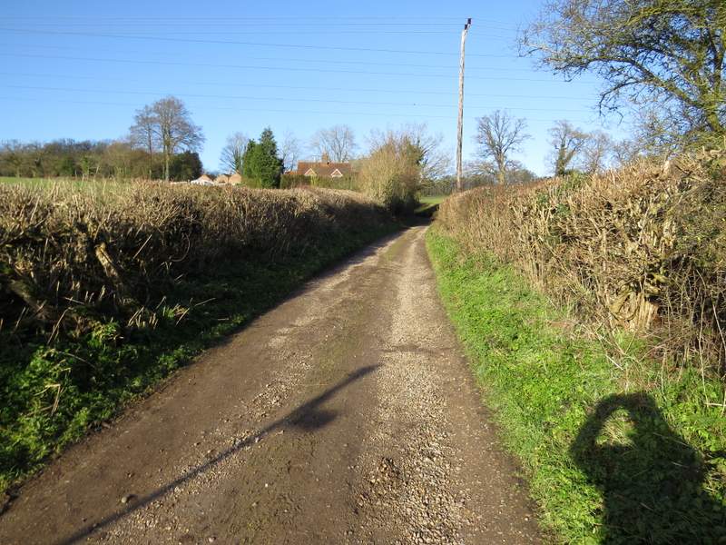
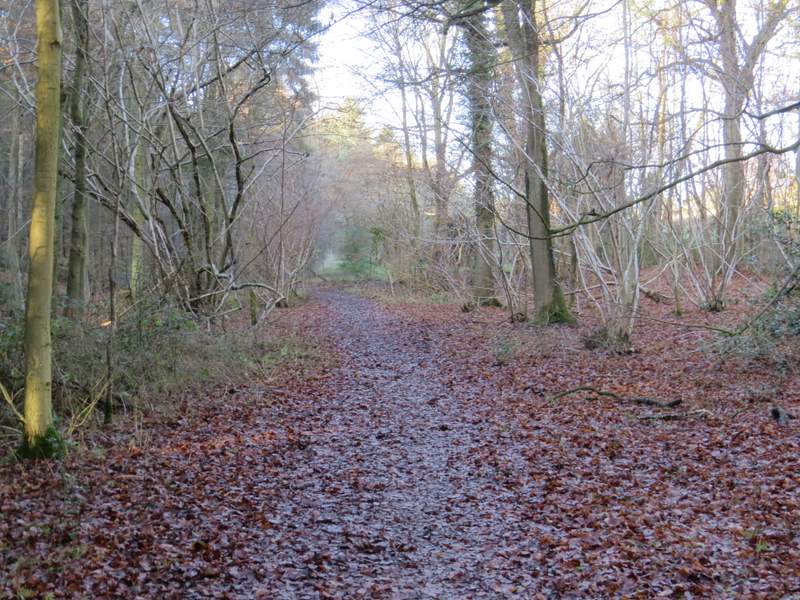
The bridleway going north from Bottom Farm
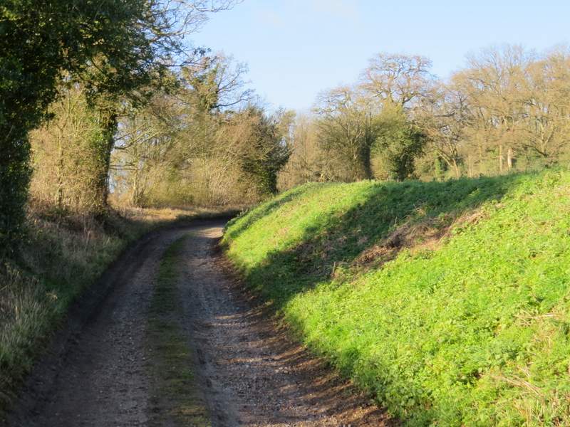
The bridleway going north from Bottom Farm
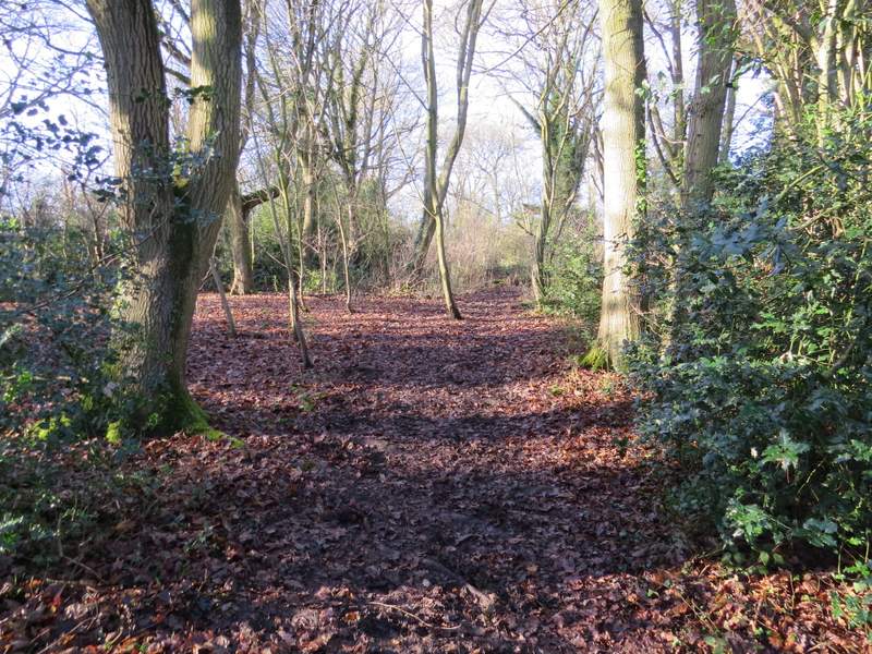
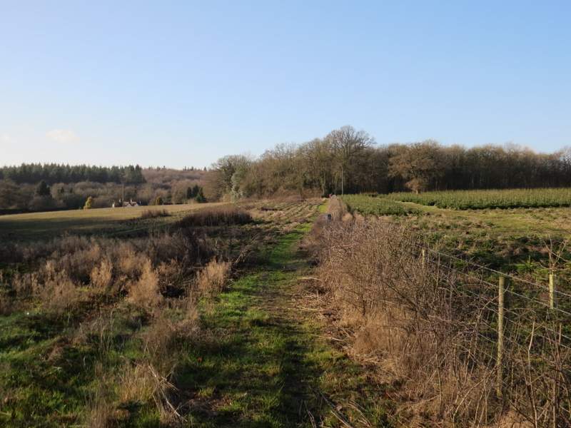
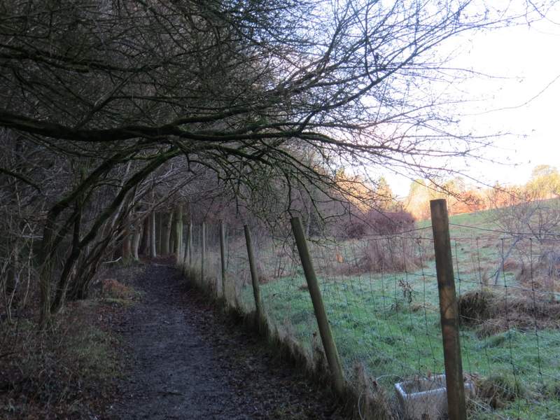
The start of the byway running close to the A41
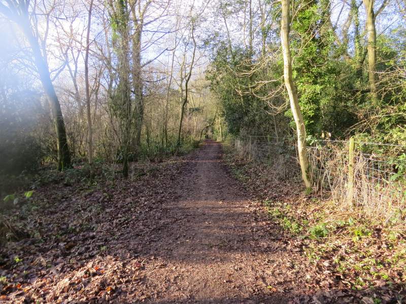
The byway running close to the A41
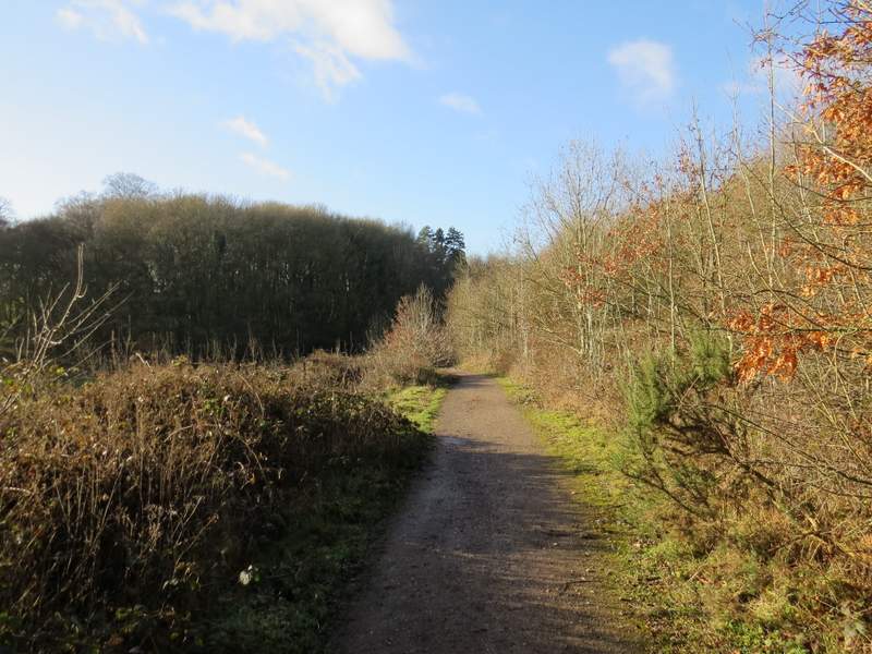
The byway running close to the A41
The byway running close to the A41
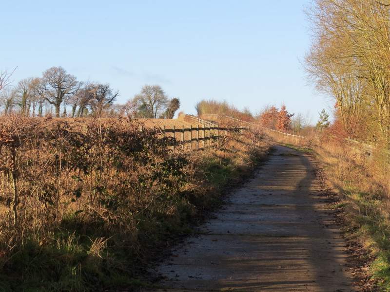
The short lane section
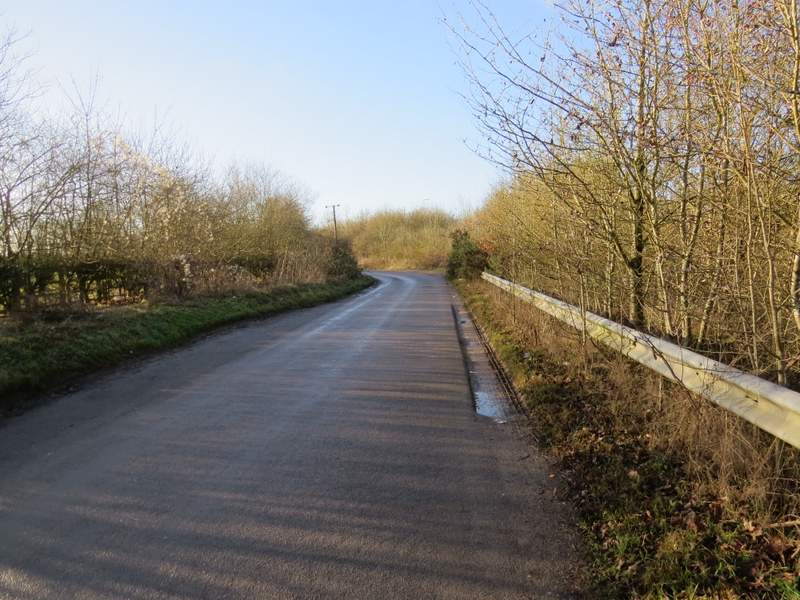
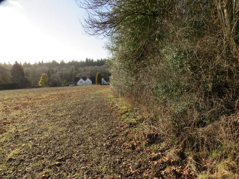
I turned left along the A416, immediately going straight on at a roundabout, heading towards Chesham. After about a quarter of a mile I took a footpath on the right, which followed a fenceline to reach a corner of Hockeridge Wood. Here the path turned left beside the wood, descending slightly. On reaching a field corner, the path continued downhill through the wood to reach a valley bottom, where I turned right at a path crossroads.
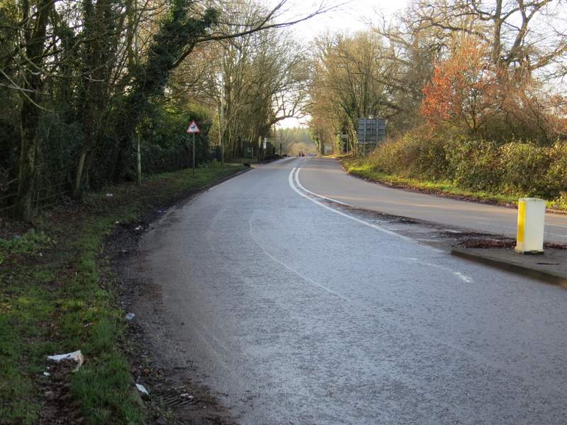
The A416 to Chesham (I followed it about as far as the two people crossing the road)
The path to Hockeridge Wood
The path continuing beside Hockeridge Wood
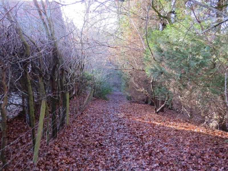
The path continuing downhill through Hockeridge Wood
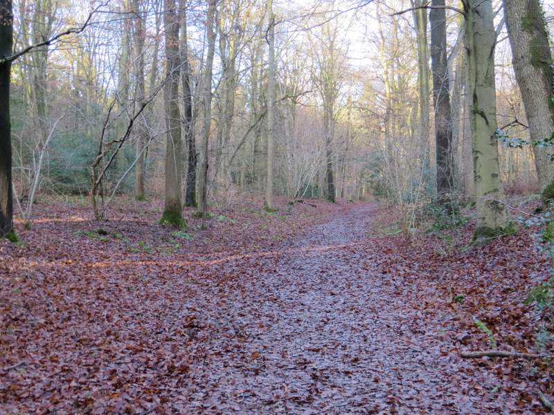
The path after I turned right in Hockeridge Wood
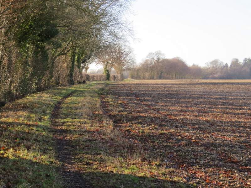
I followed the path through the wood for almost half a mile - after some way there was a field on my right. On reaching a lane I continued down a bridleway along a concrete farm track that started almost opposite, and soon I was again close to the A41 on my right. The bridleway then turned left (west) along the far side of a tall hedgerow.
The path after I turned right in Hockeridge Wood
The path after I turned right in Hockeridge Wood
The concrete farm track - the bridleway turns left behind the tall hedge on the left.
The bridleway heading to Marlin Chapel