Pete's Walks- Cholesbury and Whelpley Hill (page 5 of 5)
If you are considering walking this route yourself, please see my disclaimer. You may also like to see these notes about the maps and GPX files.
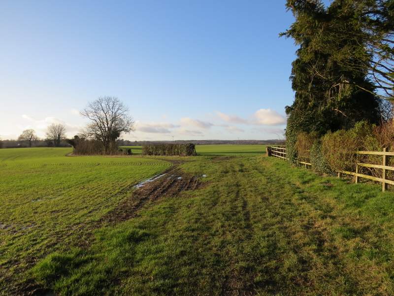
After a few hundred yards the bridleway switched to the left of the hedgerow, only to switch back to the other side just before reaching a wood called Cock Grove. There was a very muddy section here as the bridleway passed close to Marlin Chapel Farm on my left, then I took a footpath forking slightly right which immediately brought me to the ruins of Marlin Chapel, which dates back to the 13th century - there are just four columns of masonry in the corners of the chapel, so covered in ivy it's easy to think they are old trees. The path then continued along the edge of the grounds of a large house called Rossway, over to my right. Across a drive or track, the path followed a long hedgeline on my right, which took me down to a minor road running along a valley bottom (once again it was tricky taking photos here because I was looking into a low sun)
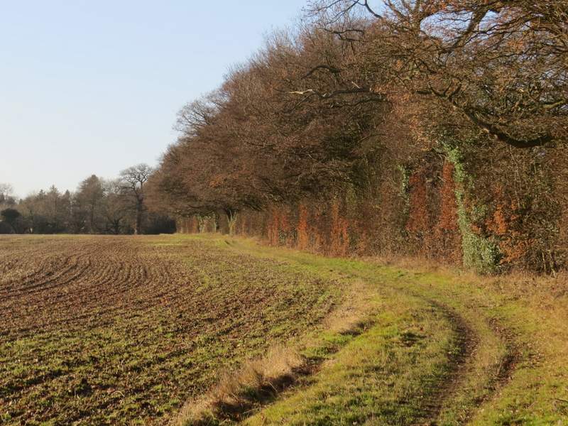
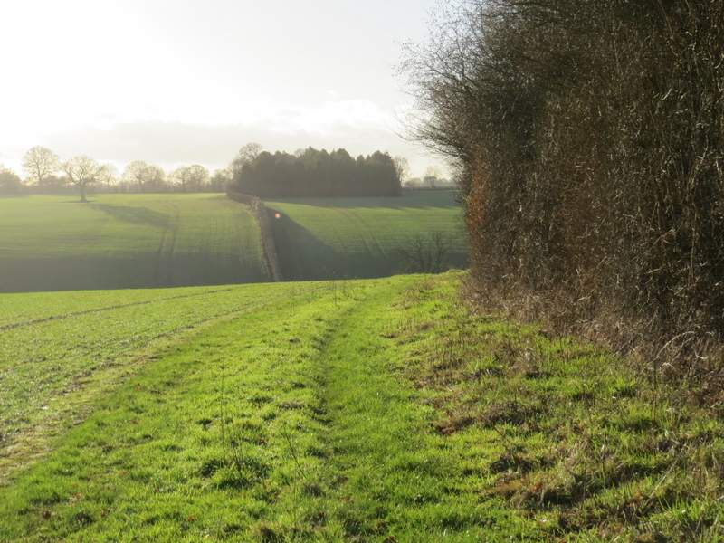
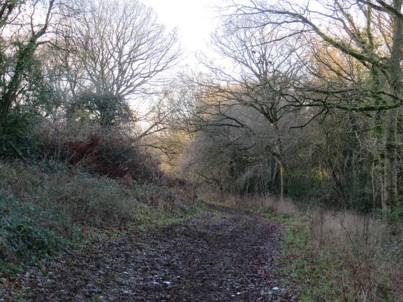
The bridleway heading to Marlin Chapel
The bridleway heading to Marlin Chapel
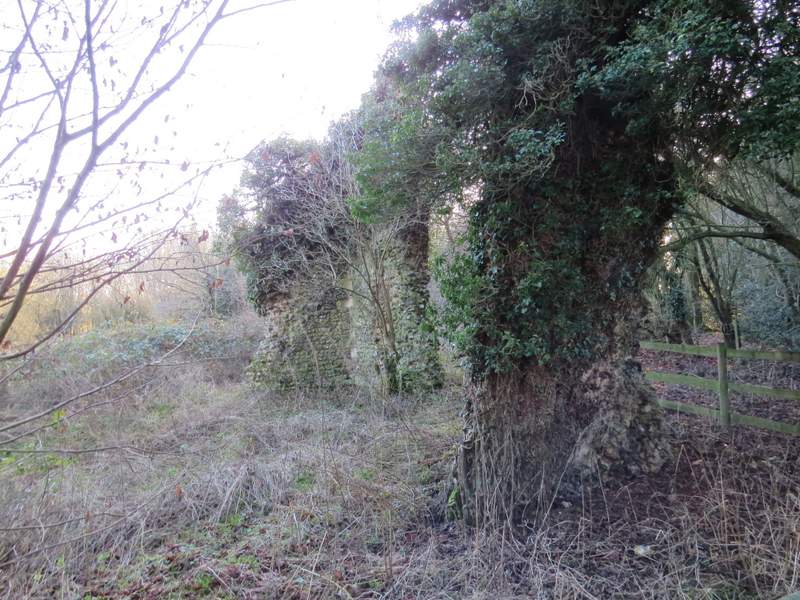
The ruins of the old Marlin Chapel, thought to date to the 13th century
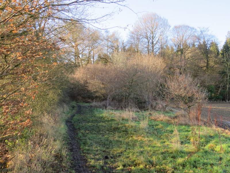
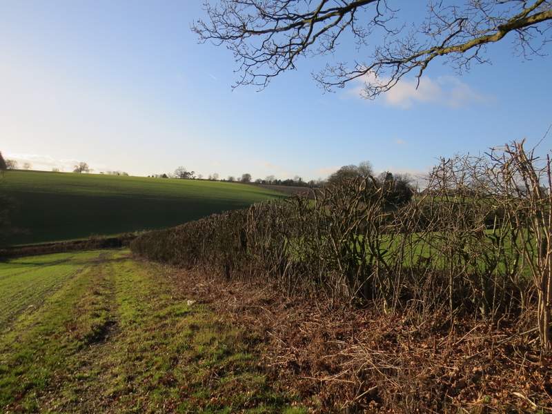
The path from near the chapel through the grounds of Rossway
Further along the path
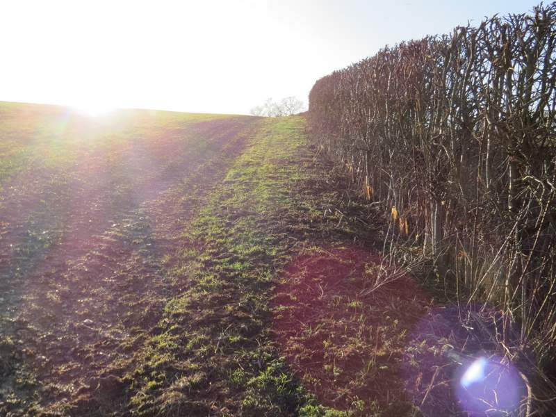
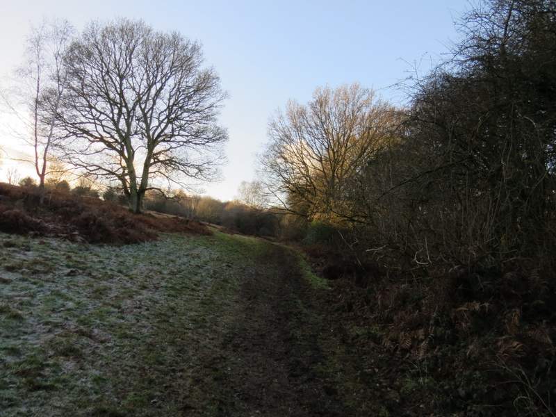
Further along the path - the route goes right, along a road in the valley bottom, then turns left to go uphill along the edge of the green field
I turned right, going straight on at a junction and then took a footpath on the left. This went uphill beside a hedge on my right. The sun was almost straight in my eyes here, and when I stopped towards the top of the slope and checked my map to work out whereabouts I needed to go right, I discovered I'd just walked a couple of yards past the gate and waymark without seeing them! The path crossed a large paddock towards a gate, where there were two large horses. The path then went a short way between fences, then over a stile it crossed a small meadow beside a house on the left to reach a lane at Heath End.
The path along the edge of the green field seen in the previous photo - as you can see I was looking almost straight into the sun here
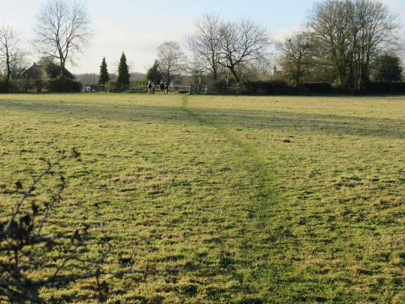
The paddock with the two big horses
The field before the lane at Heath End
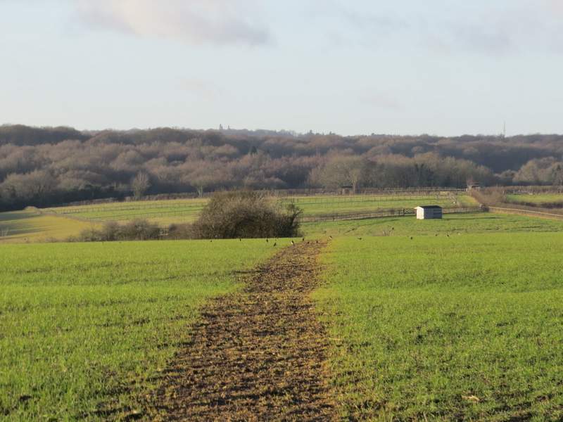
Across the lane another path started, which soon turned slightly left behind a hedgerow. It then turned right to cross a large arable field. On the far side it continued downhill between a hedge and a field of Christmas trees on my right. In the valley bottom I crossed a lane and continued along a bridleway, along the bottom edge of a common (I've usually referred to this as Cholesbury Common but, thinking about it, it's probably Hawridge Common). After a third of a mile or so, I turned left through a grassy gap in the trees and bushes, making my way uphill to reach the road through Cholesbury and Hawridge, almost opposite the junction with Ray's Hill. I turned right to reach the cricket pitch and my parked car.
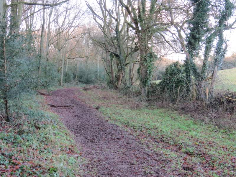
The start of the path from Heath End, it continues along the far side of the hedgerow ...
... then goes right, across this large arable field ...
... before dropping downhill beside these Christmas trees
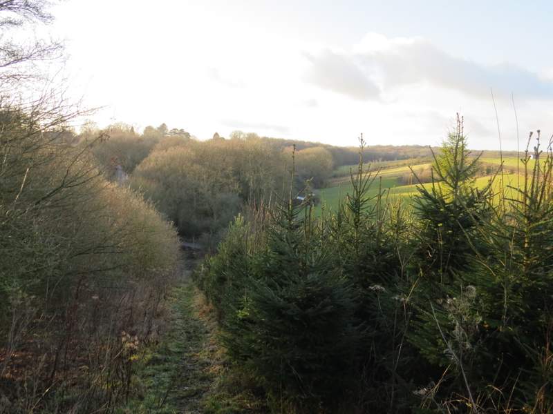
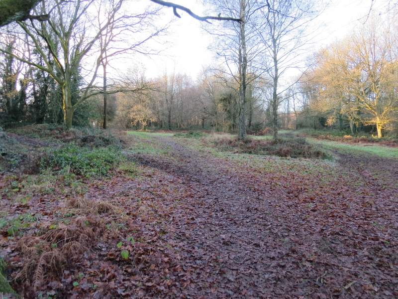
The bridleway along the bottom of Hawridge Common
The bridleway along the bottom of Hawridge Common
The bridleway along the bottom of Hawridge Common
This is where I turned left, now probably just on Cholesbury Common
It had been a sunny day throughout, but cold - there was still frost on Hawridge Common when I was finishing the walk. Again I was glad of my warm Paramo clothes and my thermal hat and gloves. Somehow I seemed to spend a lot of the walk heading almost directly towards a low sun, which made photography of the route tricky.
It was a pleasant walk, but not one of the better ones I've ever done. There weren't that many good views (I could have missed seeing some because of the sun in my eyes), and it was mainly field paths with fewer woodland sections than most walks I do. I don't remember any big hills, though there were several small ups and downs. The section through Bovingdon Airfield was pretty dull (I didn't like the unfriendly warning signs either) though it did lead on to probably the nicest view today, over the valleys around Lower Farm.