Pete's Walks- West Wycombe, Fingest and Horsleys Green (page 4 of 7)
If you are considering walking this route yourself, please see my disclaimer. You may also like to see these notes about the maps and GPX files.
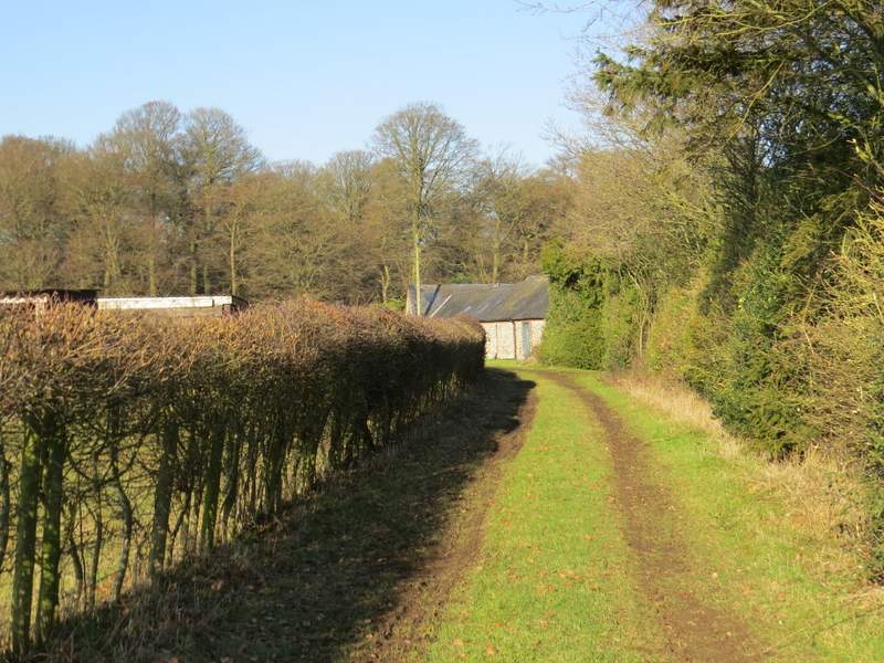
The path did flatten out eventually, and soon I passed a couple of interesting notice boards, one telling the history of how the wood has been managed since 1942, the other one saying that this was "Church path", running between the churches of Fingest and Cadmore End. On finally reaching the edge of the wood the path merged with a bridleway, continuing along a hedge-lined track for a quarter of a mile or so to reach Cadmore End. Here I turned left, passing the church on my right and continuing to reach a green on my right, where I stopped to eat my packed lunch on a bench (as I had on a walk just over three weeks ago).
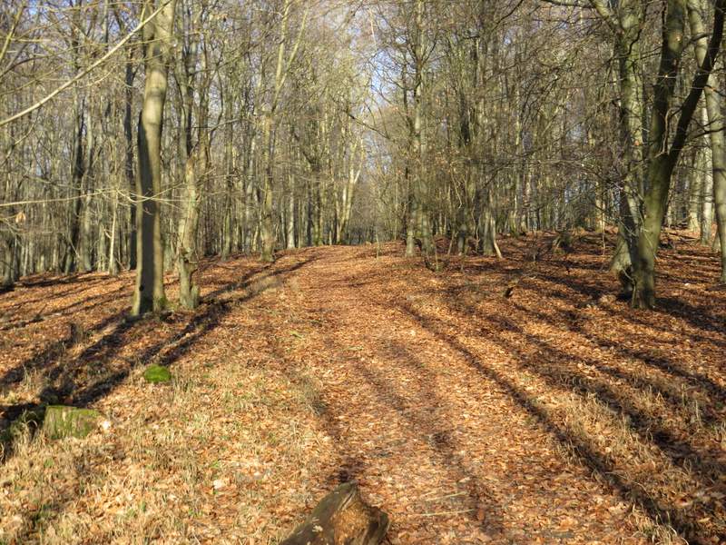
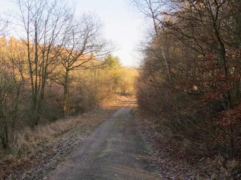
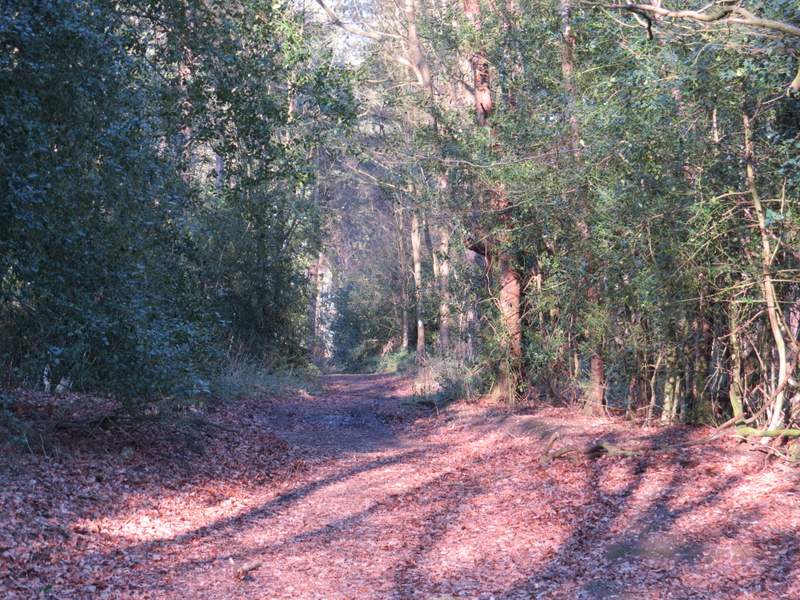
The path continuing through Hanger Wood
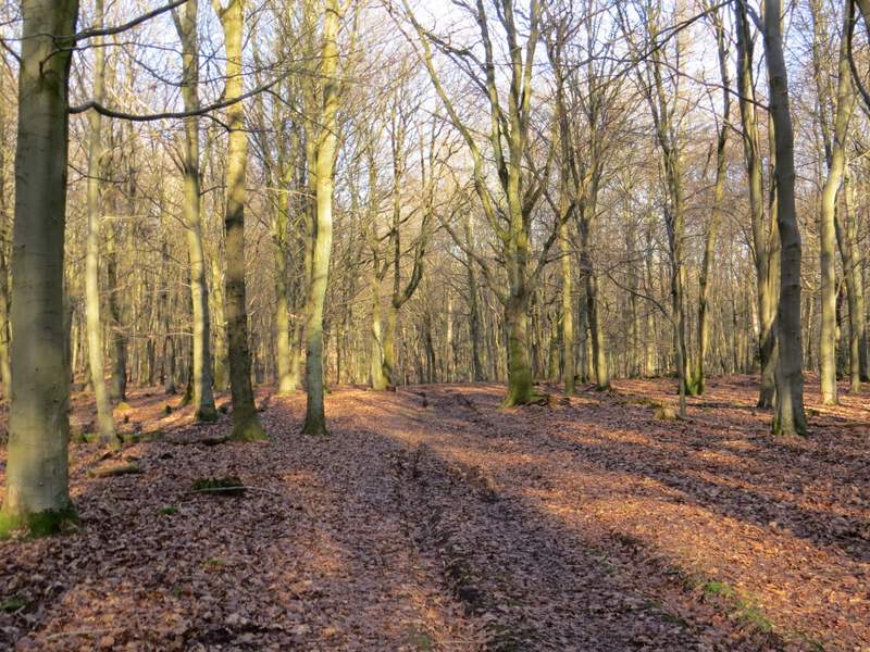
The path continuing through Hanger Wood
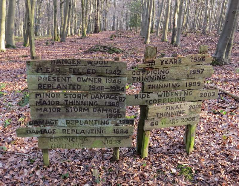
Sign giving the history of Hanger Wood since 1942
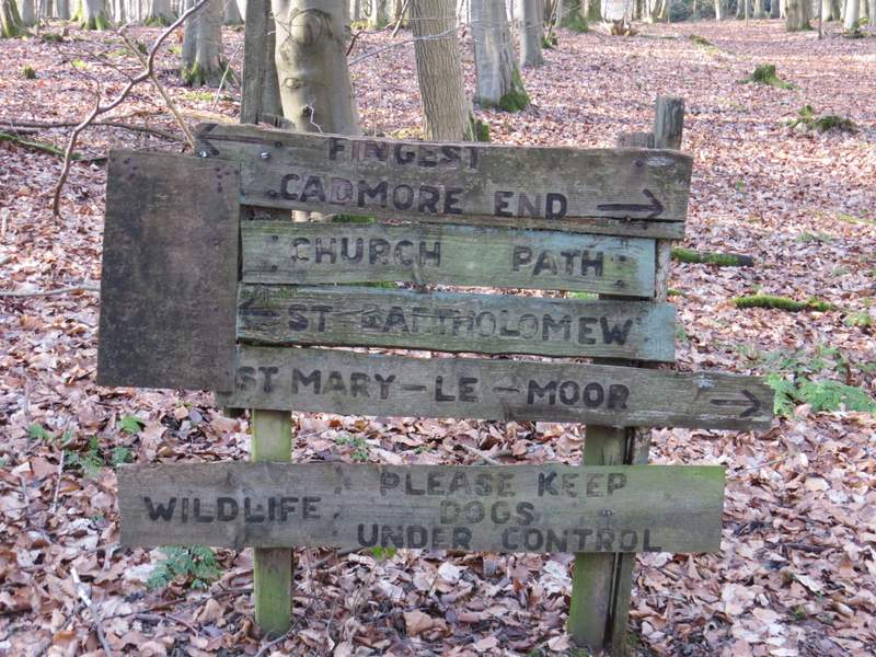
I didn't know this was called Church Path, but it does indeed go between the churches at Fingest and Cadmore End
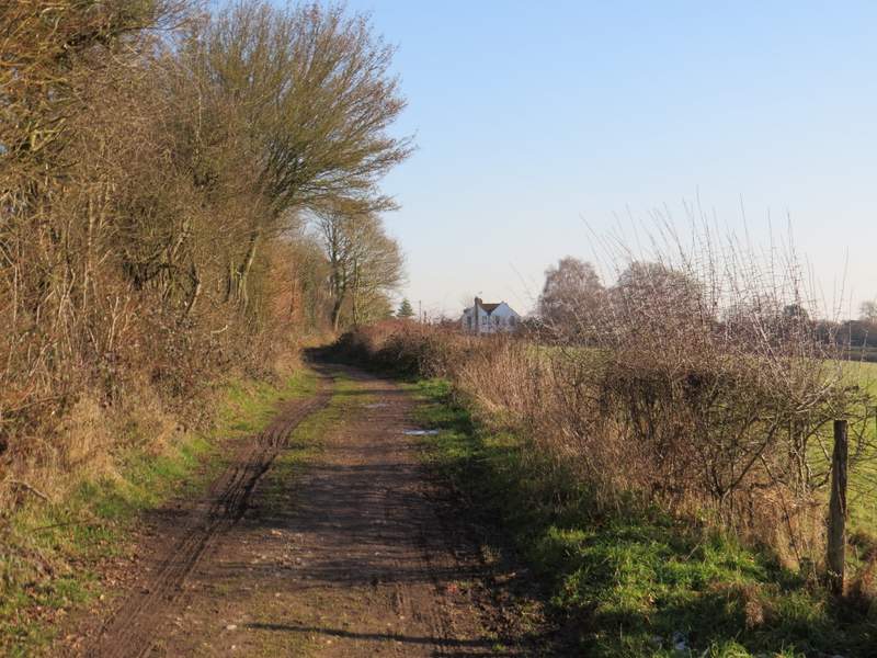
The bridleway between Hanger Wood and Cadmore End
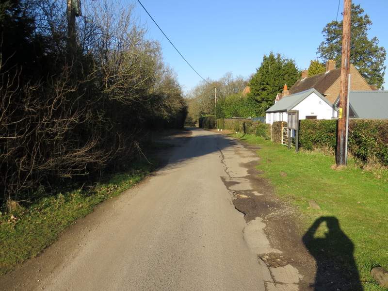
The lane through Cadmore End (and yet another photo of my shadow!)
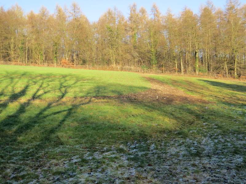
Lunch over, I crossed the road on the other side of the green to reach the village school, and turned right. A short way past the school a footpath went left through a car park and along a forestry track starting at a metal barrier. The track soon went under the M40, continuing through part of Pound Wood.. Near the top of a slight slope a path forked right, cutting off a corner where the track turned right. On rejoining the track I turned right, and soon came to a waymark post - here I dithered for a few moments, then decided to divert from my planned route and take the path going left here, which I'd never used before (there was another path going very sharply left, almost doubling back, which I think I've walked once). This new path led across the end of a field and then into Leygrove's Wood, where after a while it joined a track.
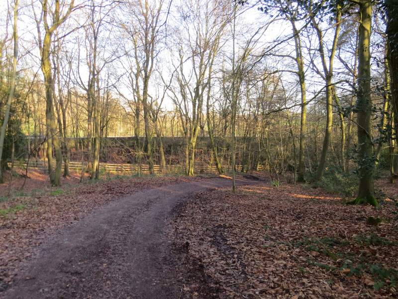
The start of the forestry track from Cadmore End
The same forestry track after I rejoined it after a short path that cut a corner - I turned left about where the track disappears from view
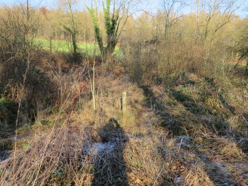
The start of the path going left from the forestry track
The path going left from the forestry track
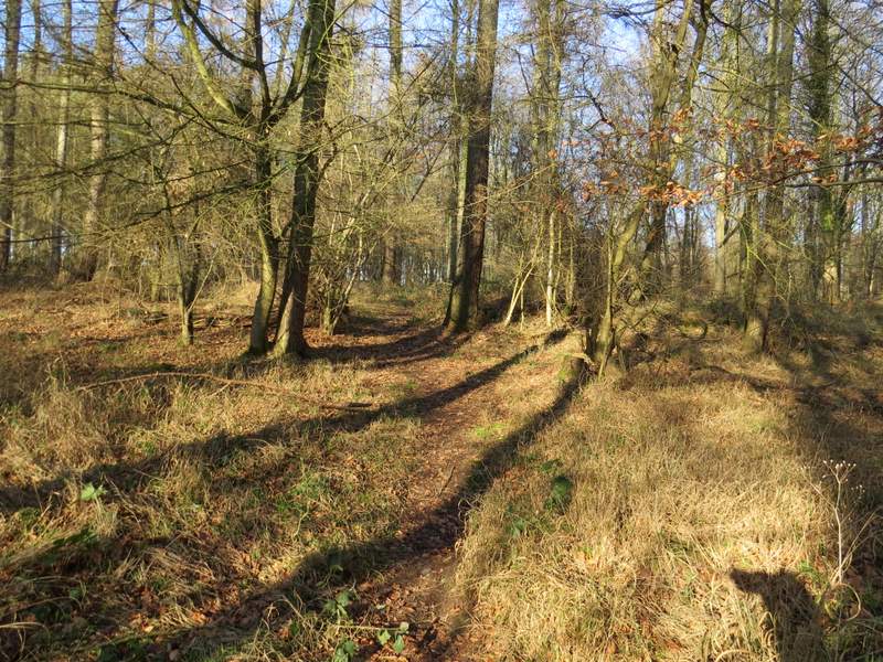
The path continuing through Leygrove's Wood
The path continuing through Leygrove's Wood
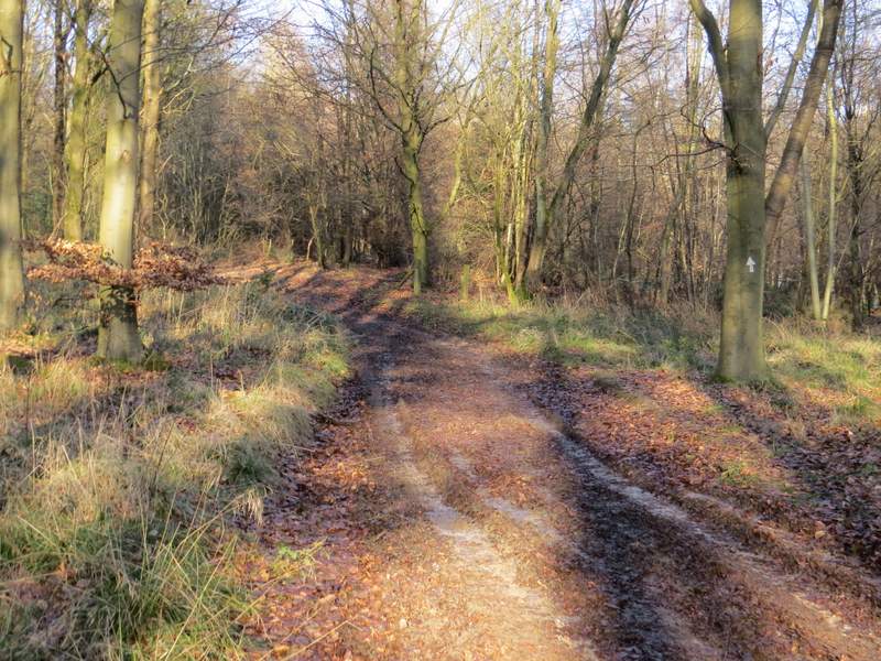
After several hundred yards I came to a path crossroads where the track met another track. I went straight on (or rather half-left), now on a narrow path but still in Leygrove's Wood. After maybe a quarter of a mile, the path left the wood and continued through fields following a hedgerow on my right. On eventually reaching a field corner, the path turned left, staying within the same field (a confusing white arrow on a gate indicates it goes through the gate before turning left, it doesn't) and then after a hundred yards or so the path turned right to reach Dell's Farm on my right.
The path continuing through Leygrove's Wood
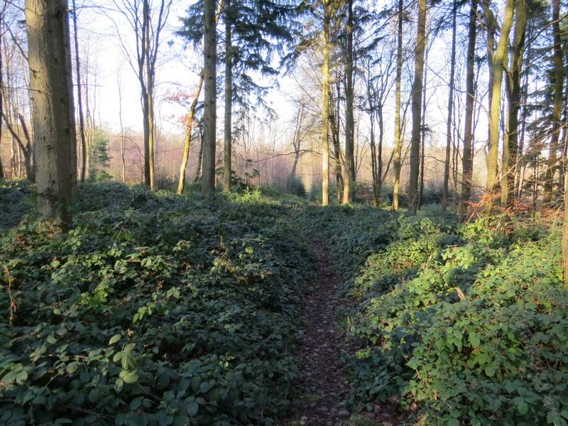
The path continuing through Leygrove's Wood, after the path crossroads
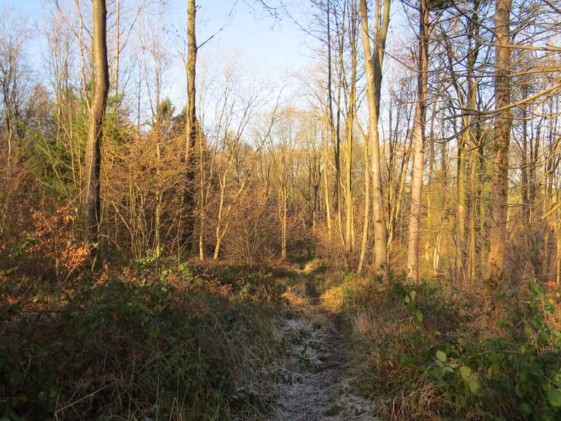
The path continuing through Leygrove's Wood
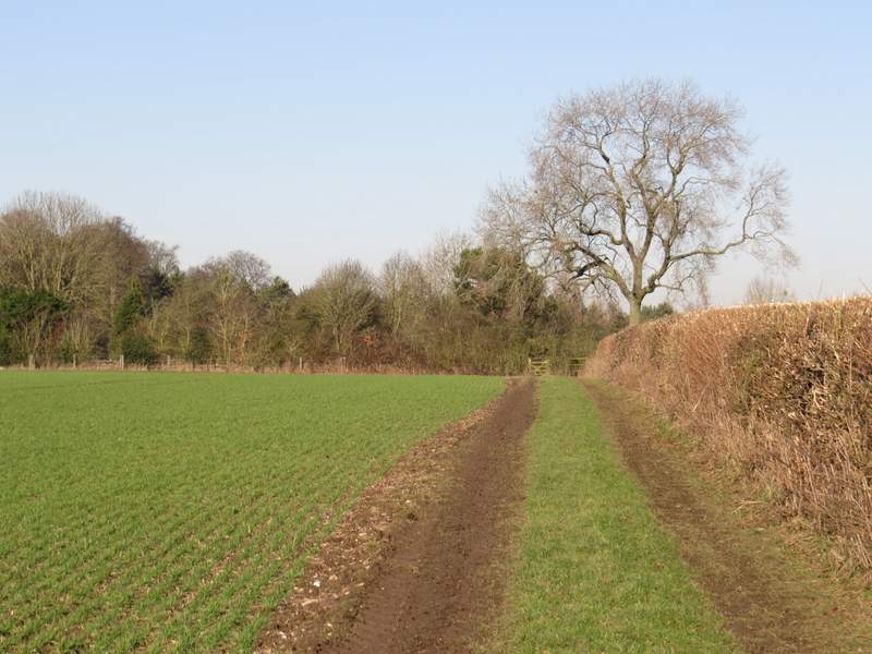
The path continuing from Leygrove's Wood - it turns left in the corner of the field ...
... and then turns right to pass Dell's Farm