Pete's Walks- West Wycombe, Fingest and Horsleys Green (page 5 of 7)
If you are considering walking this route yourself, please see my disclaimer. You may also like to see these notes about the maps and GPX files.
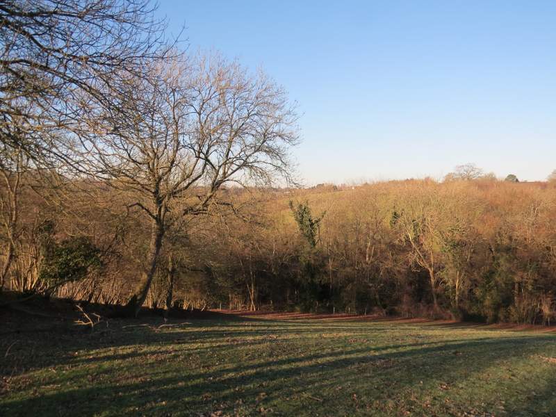
From Dell's Farm, the path went half-right across a paddock (to the rightmost of two gates in the opposite fence). It then continued northwards through Dell's Wood, soon dropping down into a valley. In the valley bottom I crossed over a bridleway and went quite steeply up the other side. Near the top of the slope the path turned left for a short distance, then went right, leaving Dell's Wood and passing some huts or chalets in the Wycliffe Centre on my right - until recently this was the home of the Wycliffe bible translators, but it has now been sold to developers.
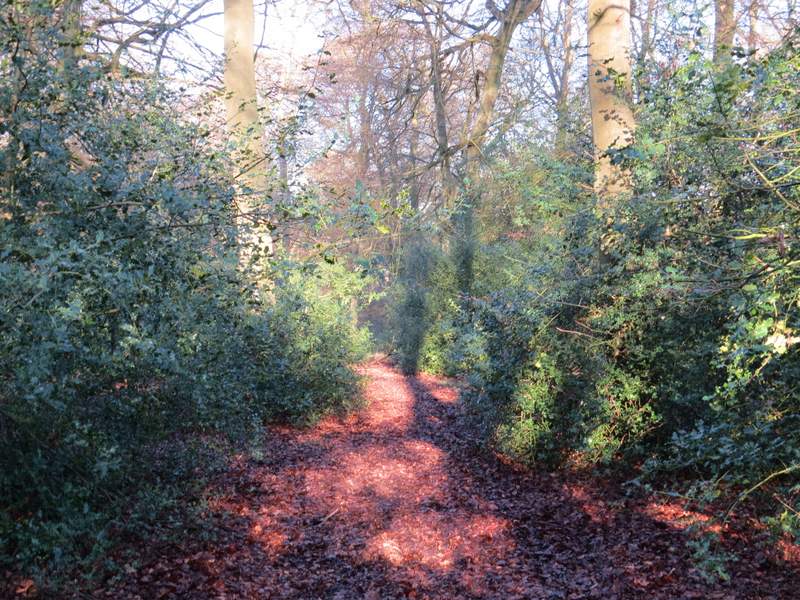
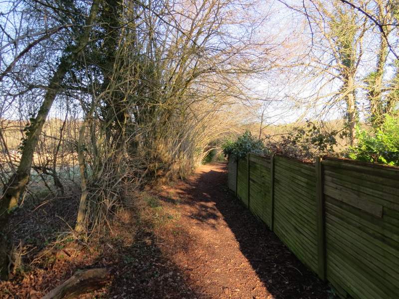
The path continuing through Dell's Wood
The path continuing through Dell's Wood
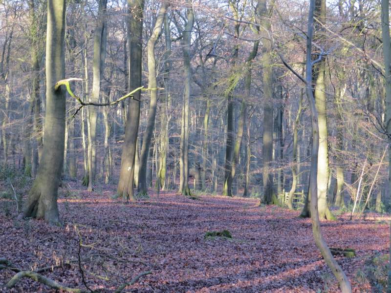
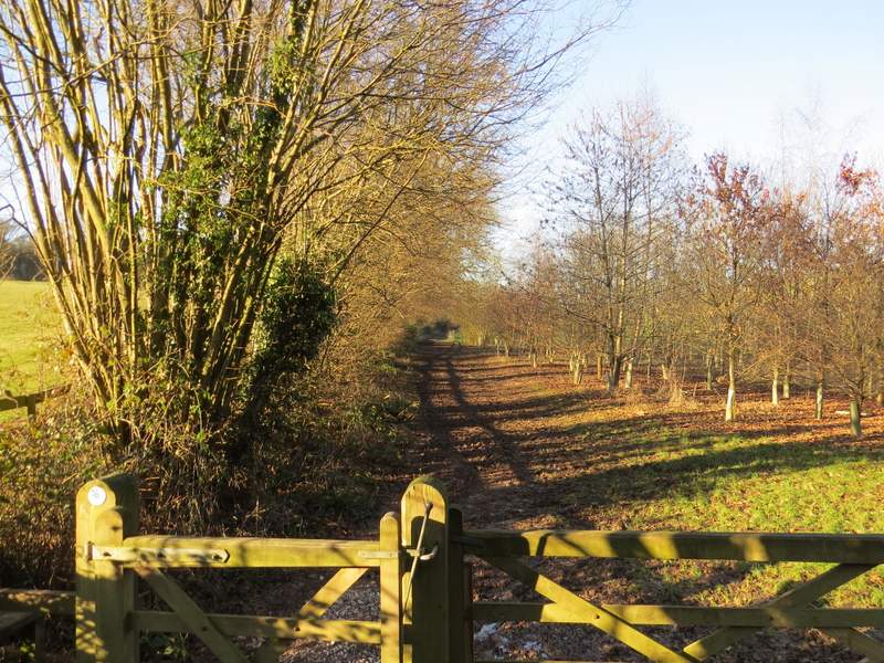
The path continuing through Dell's Wood - this is the start of the steep uphill section (though it might not look it)
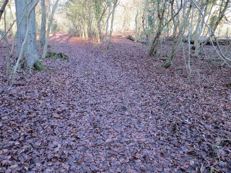
The path continuing through Dell's Wood
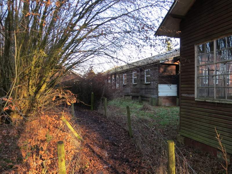
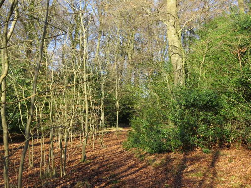
The path continuing past Wycliffe Centre, Horsleys Green
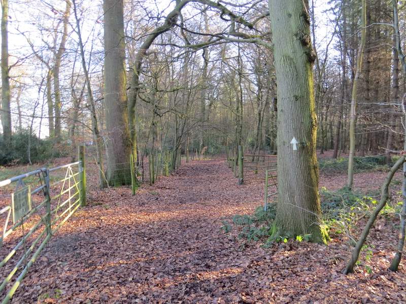
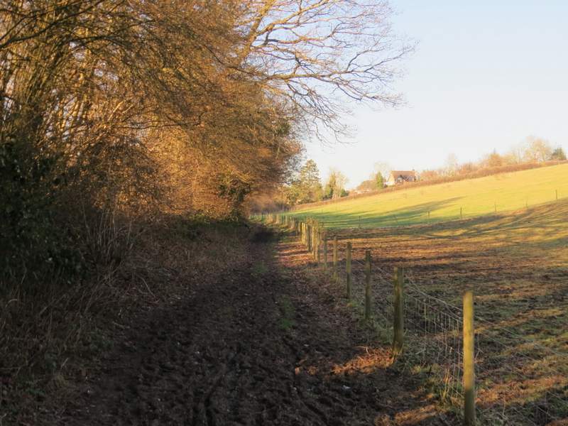
On reaching the entrance to the Wycliffe Centre, I went straight on (I could have turned left here, into the hamlet of Horsleys Green). The path ran for some way between hedges and fences, then entered Thirds Wood. On reaching a junction with a bridleway I turned right, now with some properties in Studley Green close by on my left. After a quarter of a mile or so the bridleway turned left and brought me to the A40.
The path continuing north from Wycliffe Centre
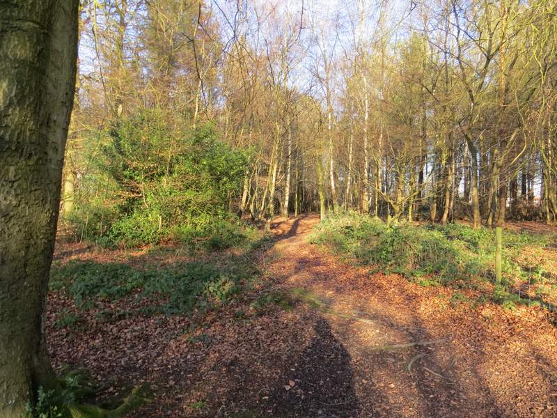
The path continuing north from Wycliffe Centre
The bridleway after I turned right, near Studley Green
I went a few yards right and took a path starting on the other side. This crossed a field to a stile in the opposite hedgerow, where I stopped to try to photograph the 40 or so Red Kites that were flying over Studley Green on my left (I don't know what attracts them, but I've seen large numbers of them here before). The path then continued for several hundred yards beside a hedge on my left, with a nice view over to my right over a valley containing Bottom Wood. The path then dropped quite steeply along the left edge of a paddock or pasture to reach the narrow western tip of Bottom Wood. I went straight on here, following a bridleway past a couple of paddocks on my right to reach the end of a lane in Radnage, which I followed uphill to my right.
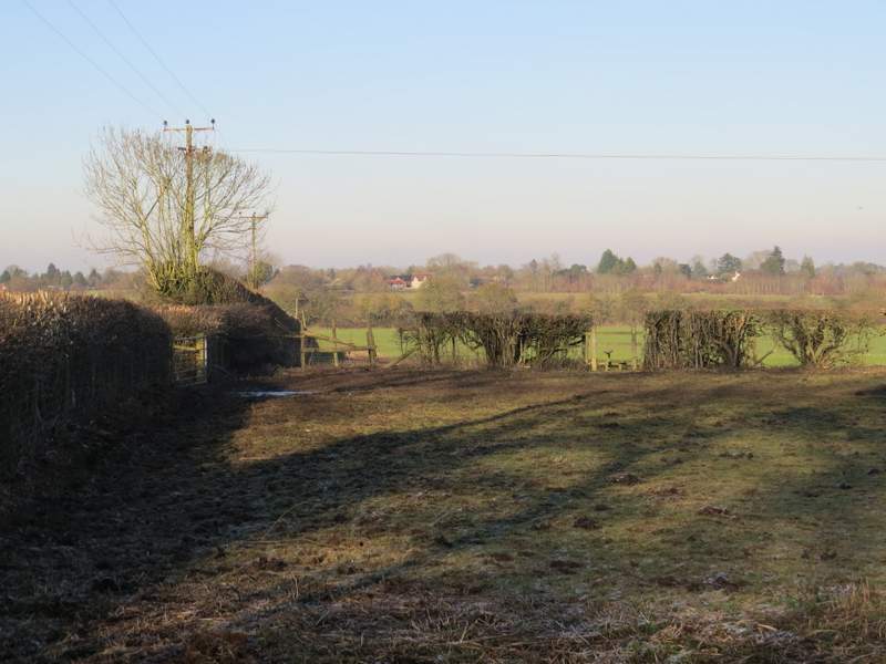
The path going north from Studley Green
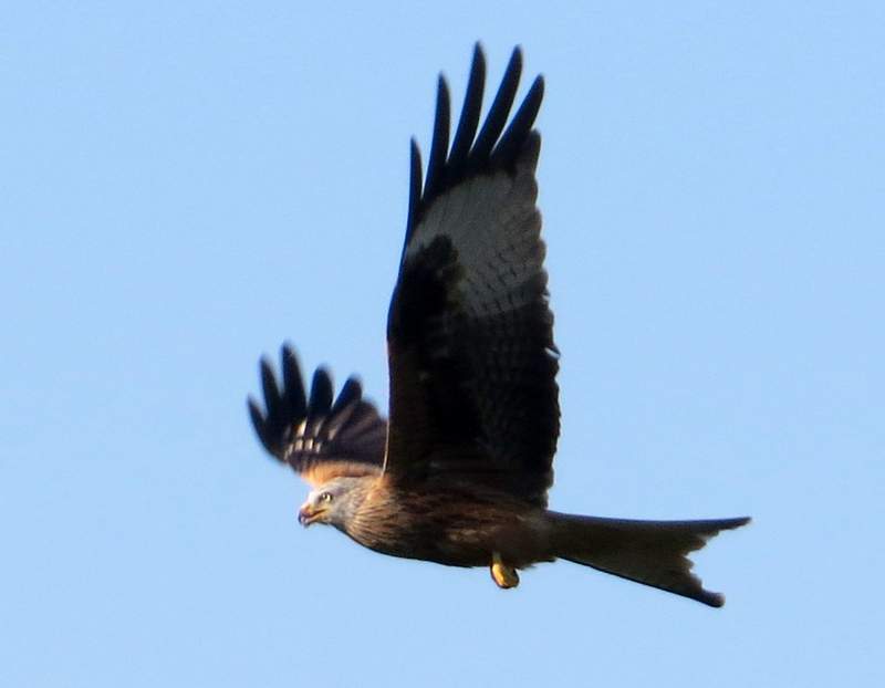
Red Kite at Studley Green - this photo was taken while I was standing astride the stile in the previous photo
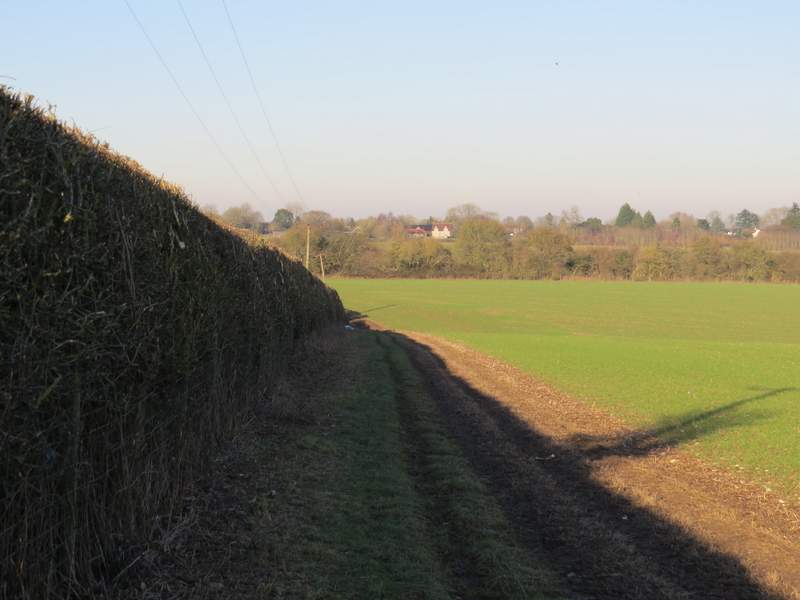
The path going north from Studley Green
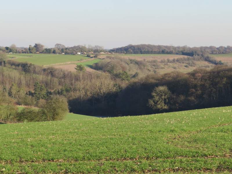
View right from the path going north from Studley Green, looking over Bottom Wood
The path going north from Studley Green, descending to Bottom Wood
The bridleway going northwest from Bottom wood
The bridleway going northwest from Bottom Wood
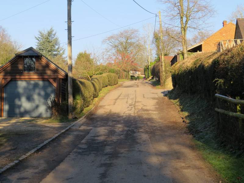
The lane in Radnage