Pete's Walks- Stoke Row, Checkendon, Woodhouse Farm (page 6 of 6)
If you are considering walking this route yourself, please see my disclaimer. You may also like to see these notes about the maps and GPX files.
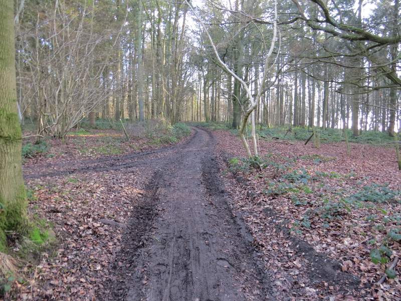
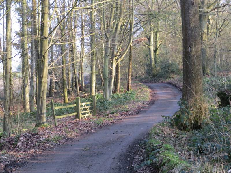
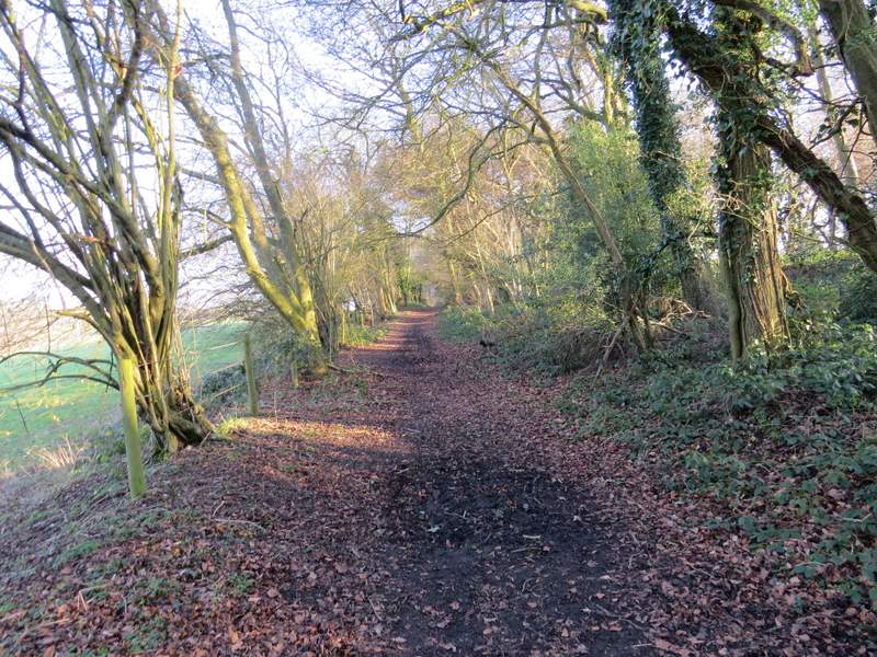
The byway then continued uphill through Mongewell Woods - I was pleased to find the remaining stretch to the top of the slope shorter and less steep than I remembered. From where the byway flattened out I still had almost another half a mile through the woods. The byway then continued on past Upper House Farm, and shortly afterwards the byway became a lane (where a path crosses, according to the OS map). I continued down the lane for another half mile (there was no traffic at all) until it ended at a road junction.
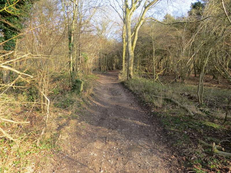
The byway continuing through Mongewell Woods
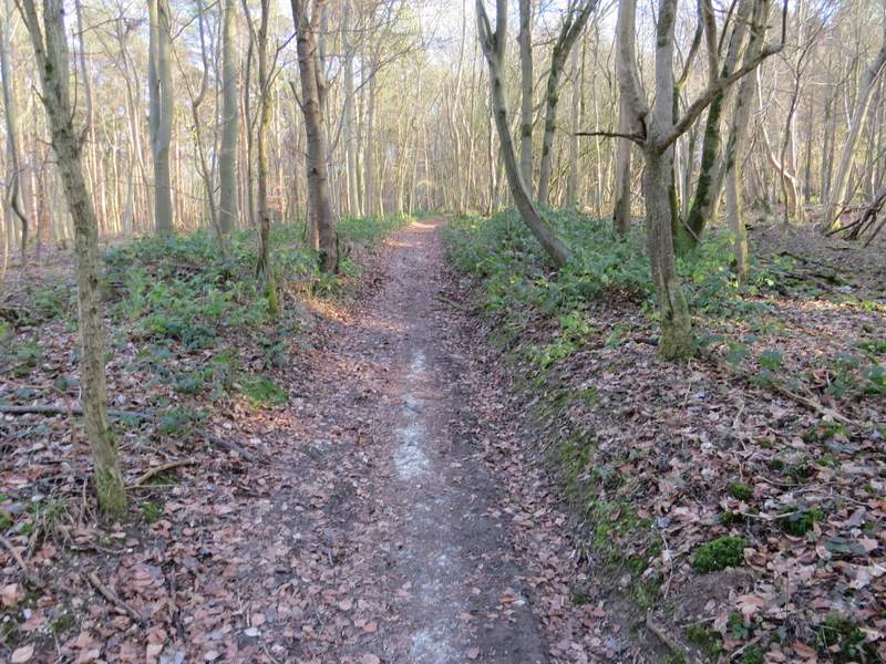
The byway continuing through Mongewell Woods
The byway continuing through Mongewell Woods
The byway continuing through Mongewell Woods
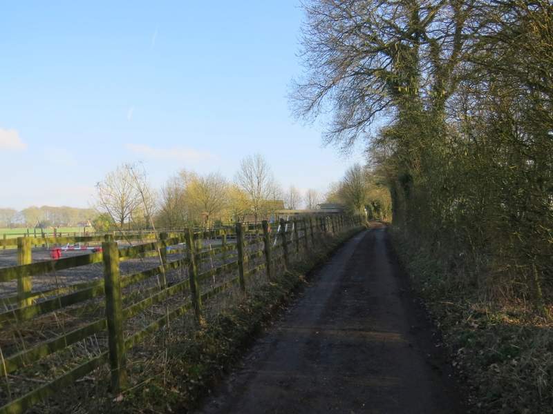
The by way continuing past Upper House Farm
Further along the byway
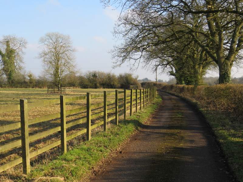
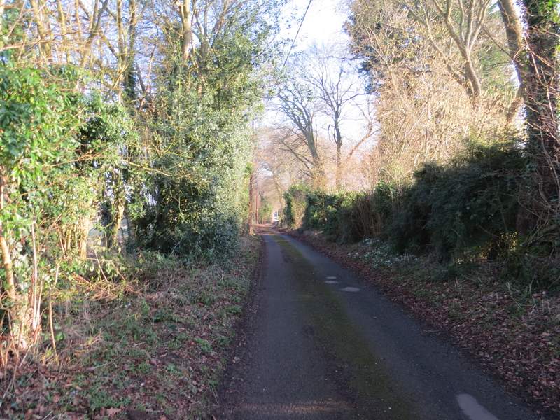
Further along the byway (now a lane)
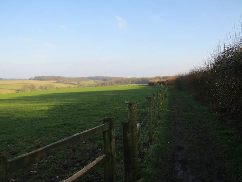
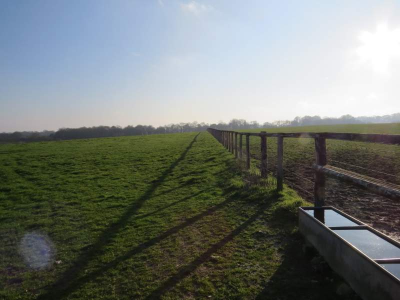
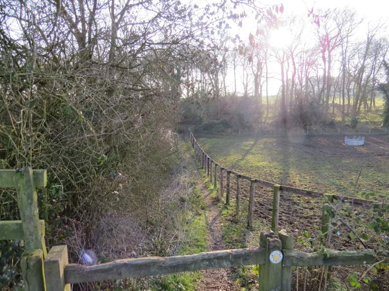
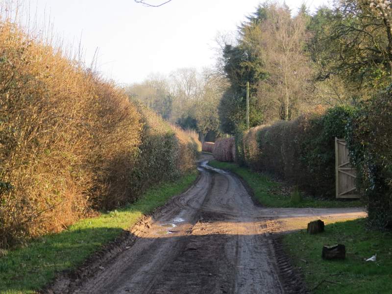
I crossed over and continued down Whitcalls Lane. Somewhere, after about a quarter of a mile, the lane ended and I was back on a byway. After a few more hundred yards I passed the impressive Oakingham House on my right, which despite its looks is actually a modern house. The bridleway now continued between a fence on the left and a hedge, but after a short way I went over a stile in the hedge and followed a fence on my right through a large empty pasture (the OS map shows the path on the other side of the fence).
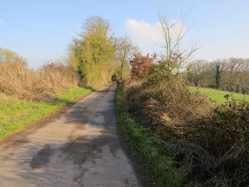
Whitcalls Lane
Whitcalls Lane
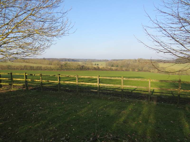
Looking left from near the entrance to Oakingham House
The byway continuing from Oakingham House, just before I turned right
The start of the path going right from the byway
Over a stile in the next field corner the path continued a short way between a hedge and a fence to reach a track called Cox's Lane, where I turned left. After about half a mile I passed Stoke Row Farm and the track became a lane as it continued into Stoke Row. A quarter mile or so past the farm I turned right on a short public footpath which brought me back to the minor road through the village, almost exactly where I'd parked by the Maharajah's Well.
The end of the path going right from the byway, approaching Cox's Lane
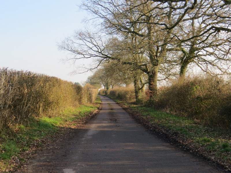
Cox's Lane
Cox's Lane
I enjoyed this walk, but perhaps I should have left it for a nicer day as there were some paths that I was walking in this direction for the first time and it would have been better to have photographed them in less grey and murky conditions. There seemed to be a lot of woodland walking, all of it pretty muddy today, and fewer sections of field paths than most walks I've done in the Chilterns. It was fairly flat with only a few small ups and downs and then a long gentle bit of uphill to Mongewell Woods at the end. It's certainly a route I'd be happy to walk again, but I think doing it the other way round would be fractionally better - but only because of the better views between Mongewell Woods and Wicks Wood.