Pete's Walks- West Wycombe, Bledlow Ridge and Lacey Green (page 5 of 6)
If you are considering walking this route yourself, please see my disclaimer. You may also like to see these notes about the maps and GPX files.
After about three-quarters of a mile the footpath joined a track, where it went right. The track continued through more of Park Wood, another path soon joining the track from my left. On reaching the edge of the wood I turned left onto another track (this is not a public footpath, but the wood is an Open Access area - the path I followed is shown as a faint black dotted line on the OS map, which confusingly shows this bit of the wood extending further south than it does now). This track went uphill, initially just inside the wood, then I went right at a fork with the wood now again on both sides of me. The track now ran fairly gently uphill, and at the top of the slope it merged with another track coming in from the left. The combined tracks almost immediately turned left, close to a tall fence around a residential estate over to my left.
The path from Smalldean Lane, through Park Wood - it turns right where it meets the track (NOT straight on along the path you can see)
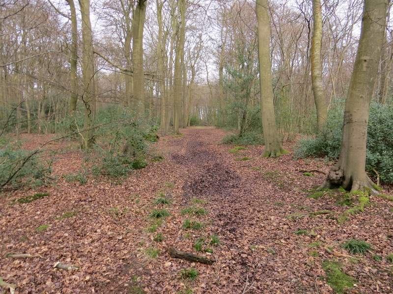
The path along the track through Park Wood, just before another path merges from the left
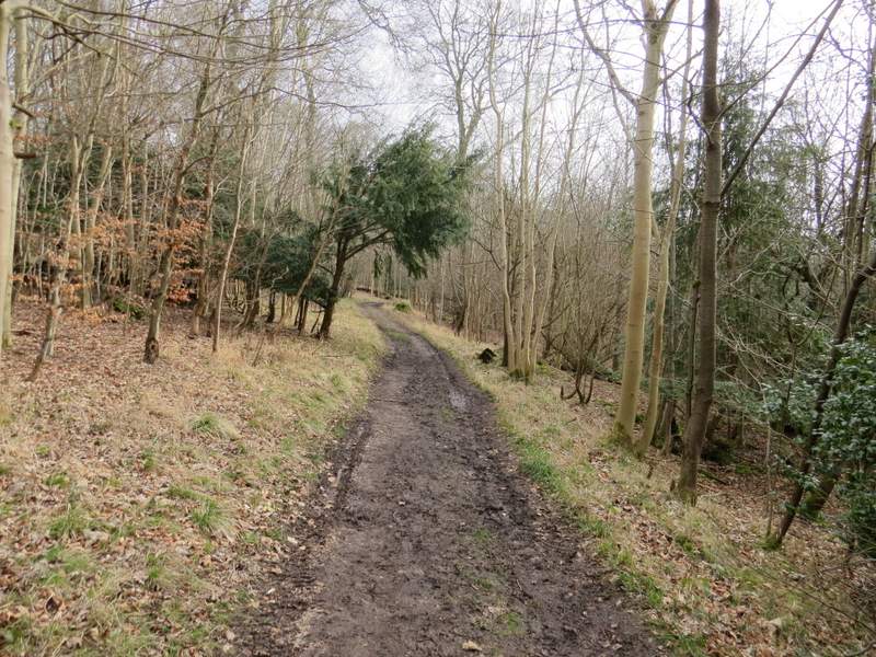
The path along the track, approaching the edge of Park Wood,
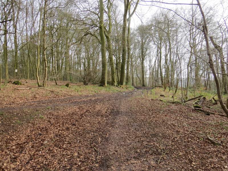
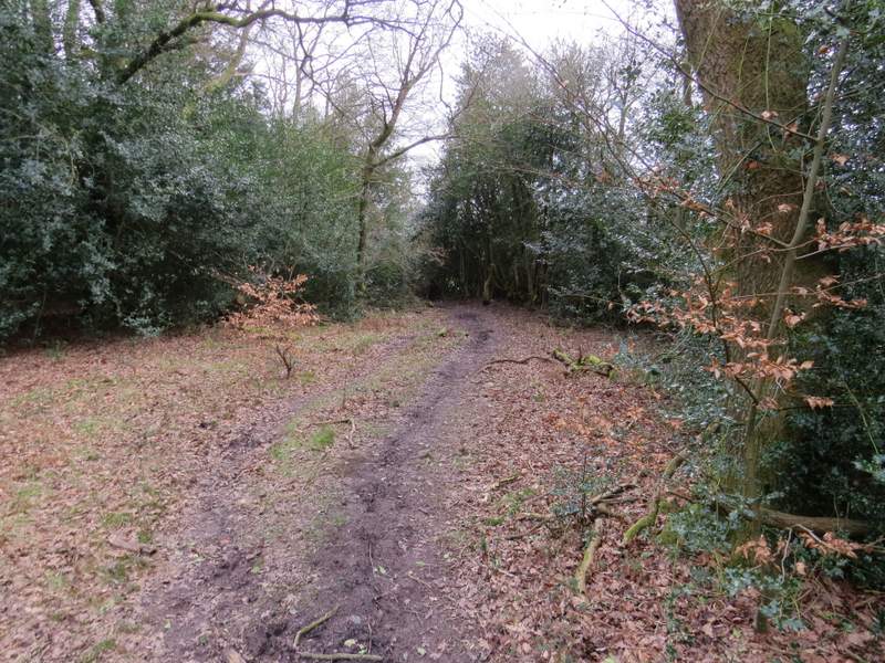
The next track after I turned left on the edge of Park Wood (this not a public footpath and not shown on the OS map, but this is an open access area)
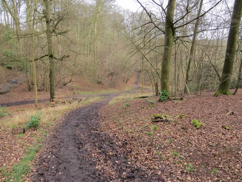
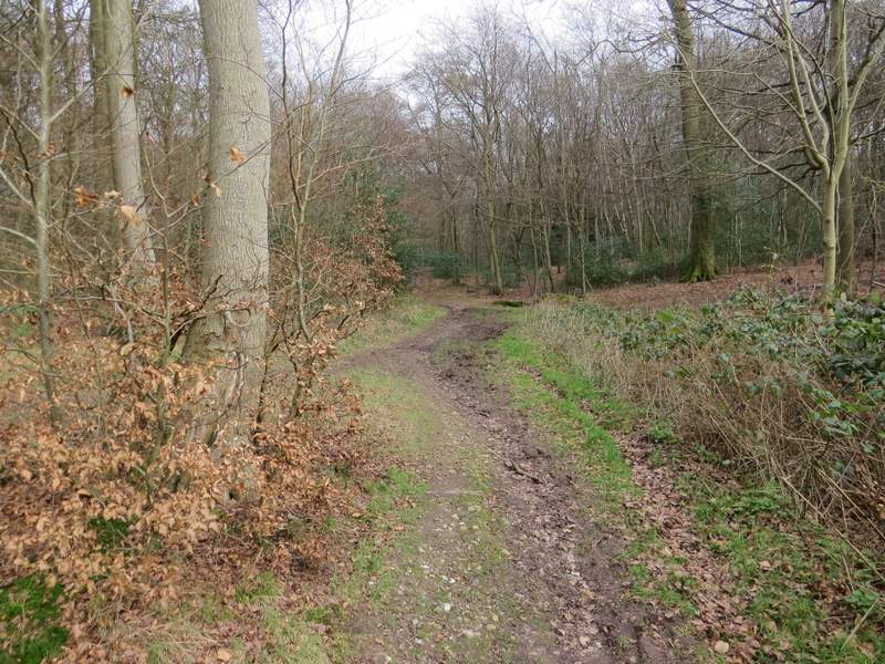
The track after I took the right fork
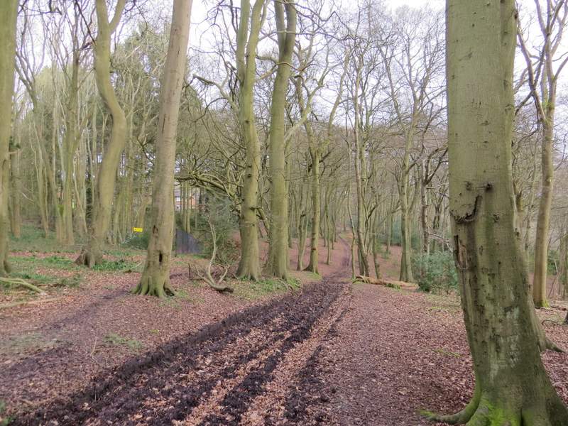
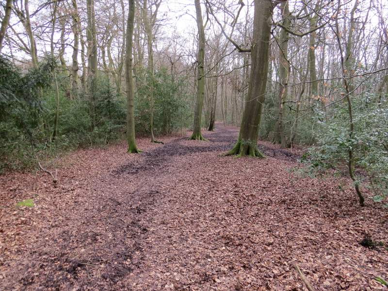
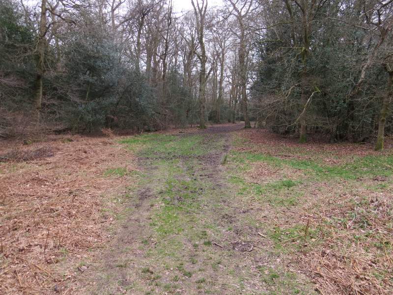
Where the track merges with another one, close to a residential estate on the left
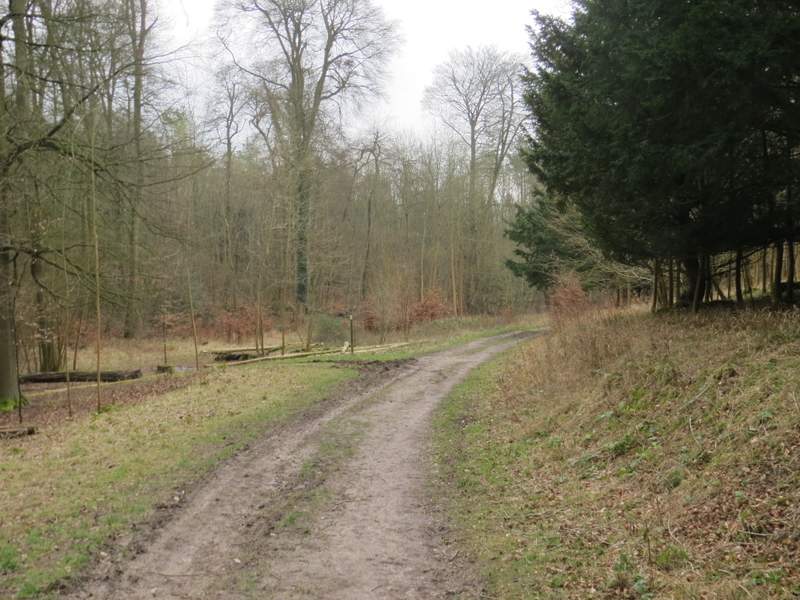
The path continuing close to the residential estate on the left
I went straight on where a public footpath crossed the track or path I was on, and a little further on I reached a minor road (going from Walter's Ash down to Bradenham, half a mile to my right). A public footpath started on the other side, now gong through a wood named The Copse on the OS map. Waymark posts showed where the path turned left after a few hundred yards and then right after maybe another couple of hundred yards. At the next junction, close to some houses on the edge of Walter's Ash, I turned right. I quickly came to an apparent fork where the public footpath took the right fork. By now I was on (or in) Naphill Common. Looking through the trees on my left I could see some telephone wires, and after a while the path I was on met another path (not a public footpath and not shown on the OS map), where I went left for a few yards, and then turned right to follow the telephone wires which ran along a broad grassy break in the wood (the public footpath went straight on, I was briefly taking advantage of the fact that Naphill Common is also an Open Access area - and again the path beside the wires is shown as a black dotted line on the OS map).
The path on the other side of the minor road
Further along that path, approaching the edge of Walter's Ash
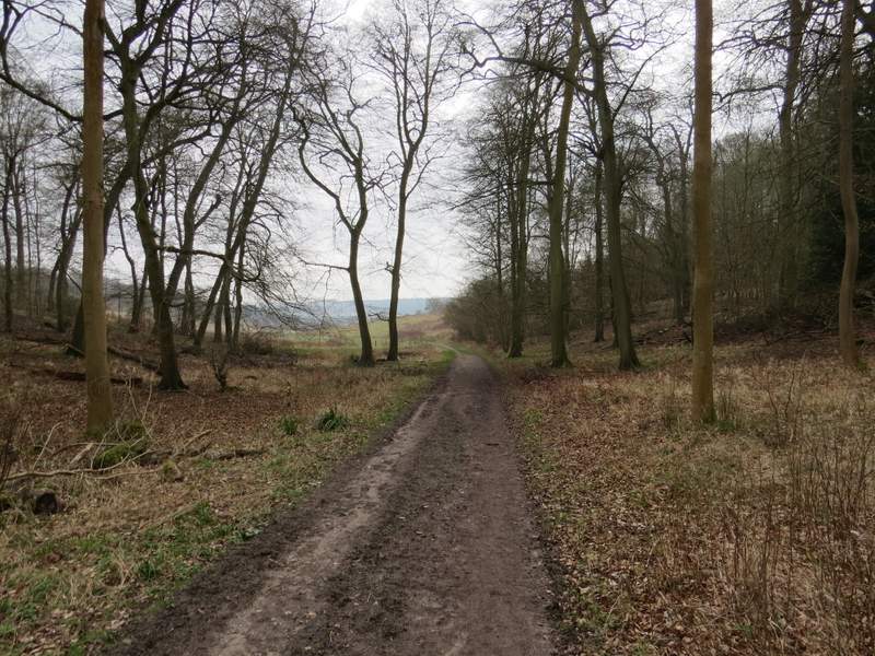
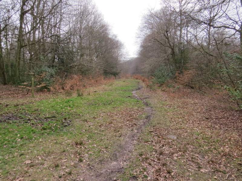
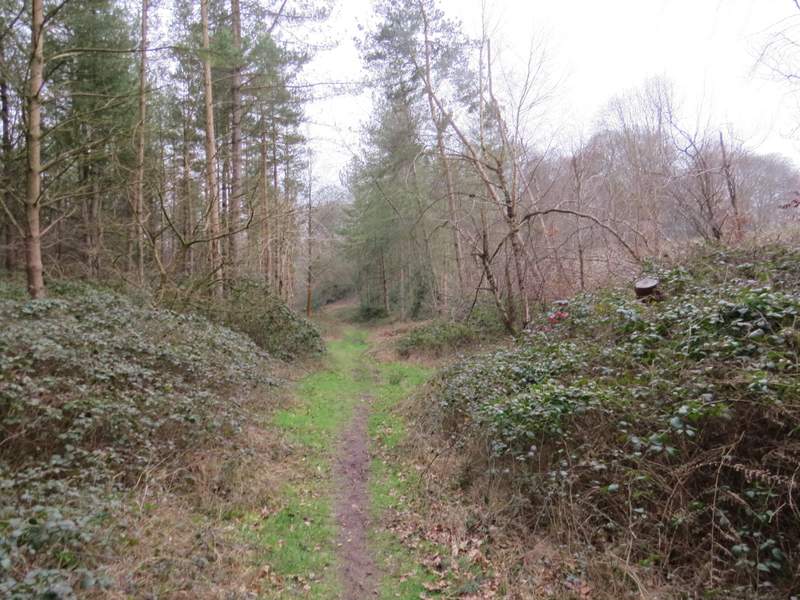
The path through Naphill Common, parallel to the telephone wires
The path running along by the telephone wires on Naphill Common
The path running along by the telephone wires on Naphill Common
After a while the line of wires turned half-right but I went straight on (crossing a bridleway at this point), now back on a public footpath. After one or two hundred yards I crossed another bridleway. My path then ran through an area thick with holly, and close to fields around Bradenham hill Farm on my right. I soon turned left at a path junction, to have a more open area (where the trees were felled a few years ago) on my right. I quickly came to another junction where I turned right, to still have the felled area close by on my right. The OS map shows that I almost immediately left Naphill Common and entered Great Cookshall Wood (so no longer an Open Access area).
The path going straight on after the telephone wires turn right
The path continuing straight on near Bradenham Hill Farm
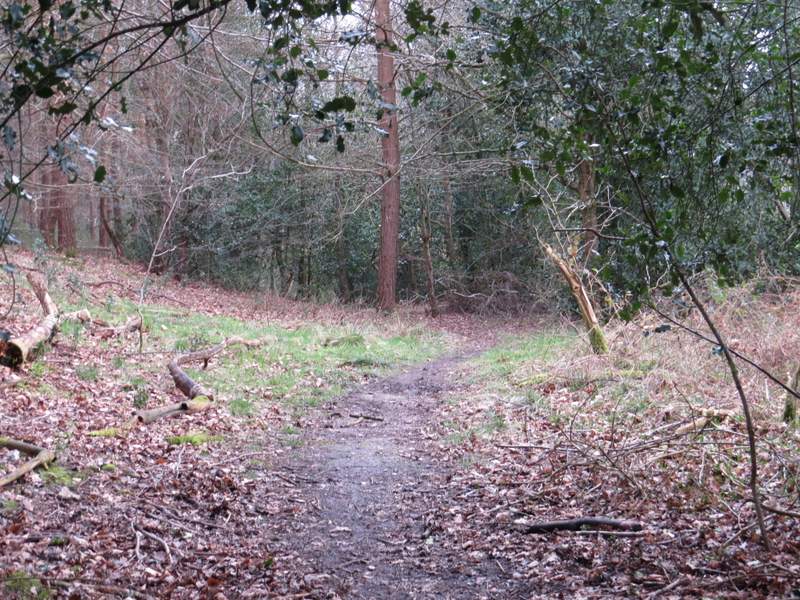
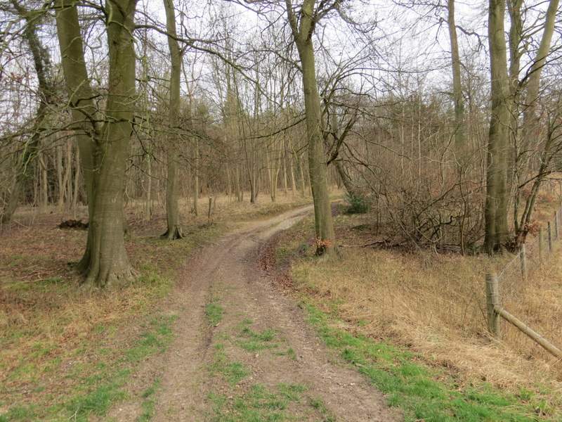
The path after I turned left, and shortly before I turned right
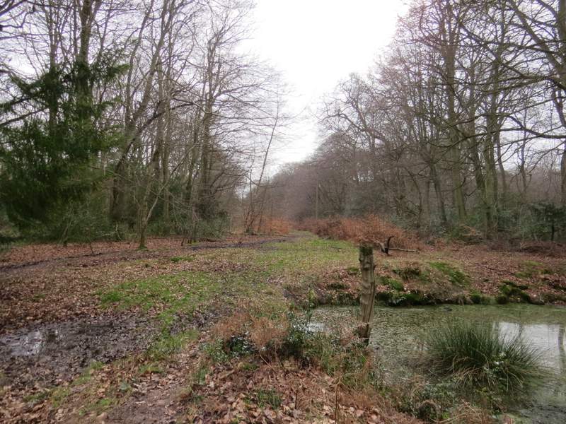
Near the start of the path through Great Cookshall Wood - the felled area of trees is on the right