Pete's Walks- West Wycombe, Bledlow Ridge and Lacey Green (page 6 of 6)
If you are considering walking this route yourself, please see my disclaimer. You may also like to see these notes about the maps and GPX files.
After a few hundred yards the footpath turned slightly left, away from the felled area, and for a while followed a wire fence on my right. The path rose slightly before dropping down and crossing a track before rising slightly uphill again. I now passed through an area of conifers - there were one or two turns in the path, but there were always waymarks or white arrows to point the way. After about half a mile (from where I'd turned right to start this path), I emerged from Great Cookshall Wood and reached Cookshall Farm.
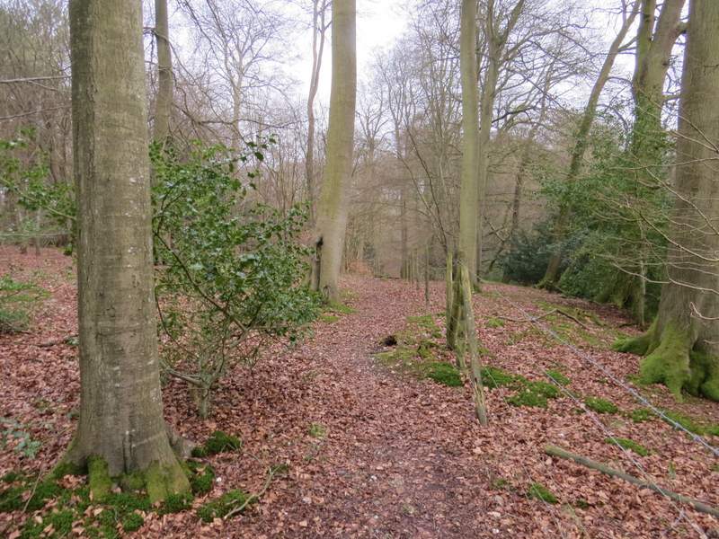
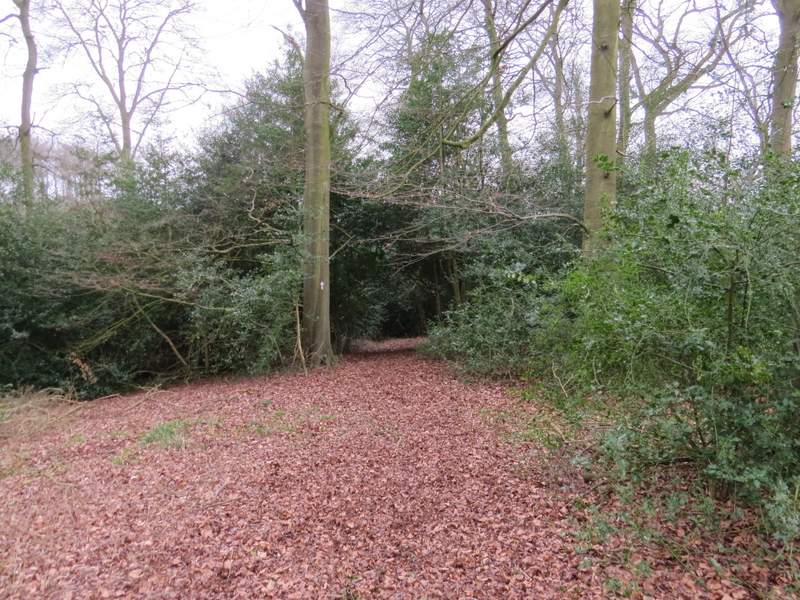
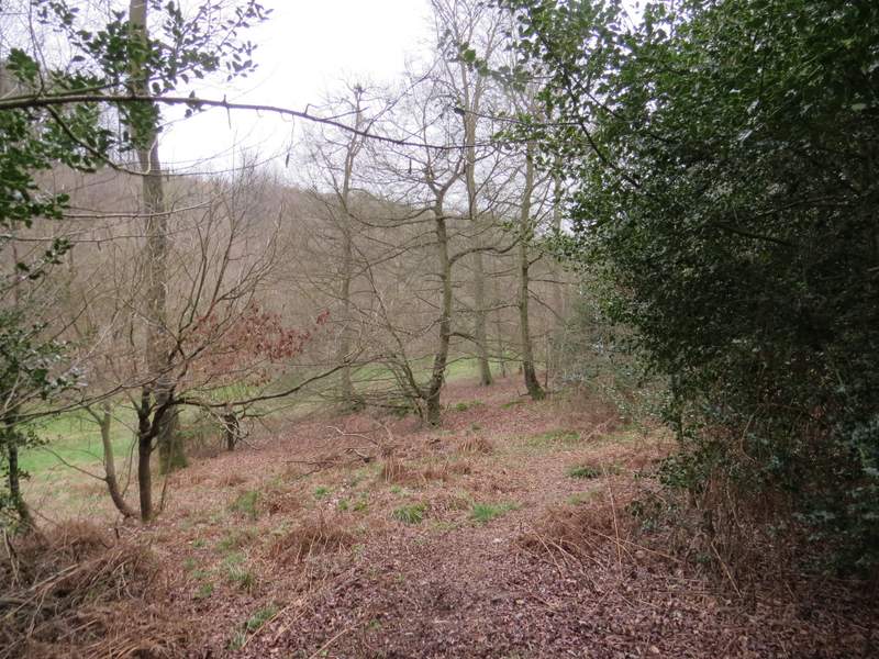
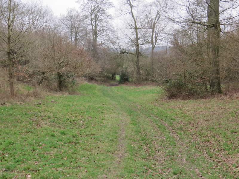
The path through Great Cookshall Wood
The path through Great Cookshall Wood
The path through Great Cookshall Wood
The path through Great Cookshall Wood
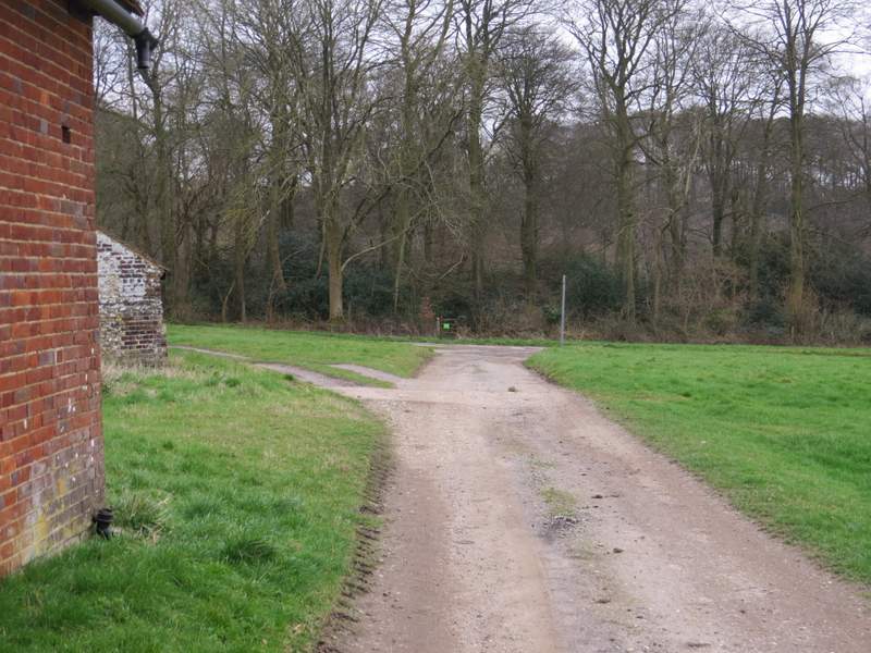
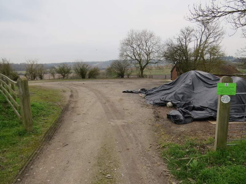
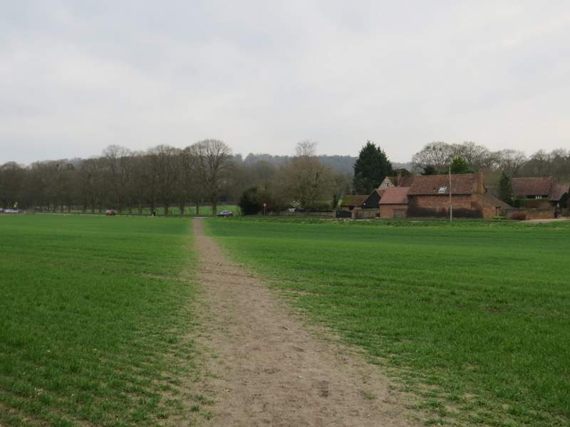
The path continuing past Cookshall Farm
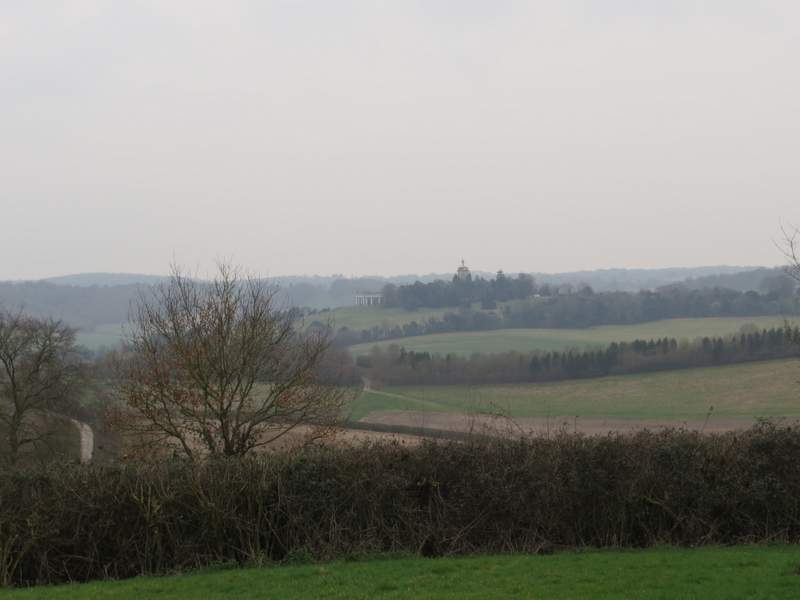
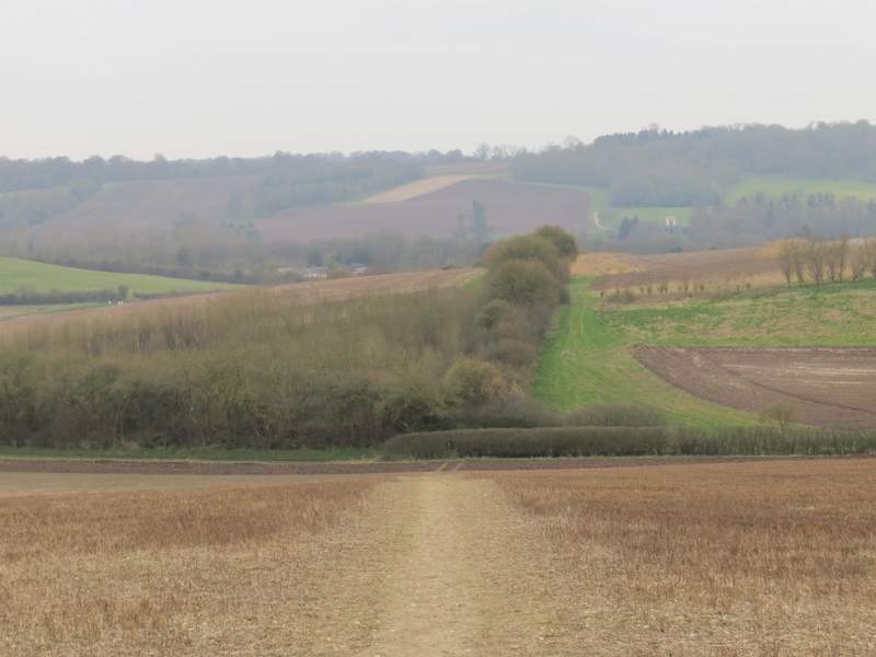
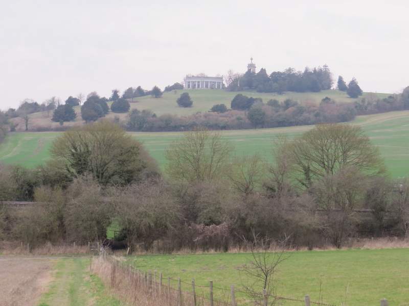
View right from Cookshall Farm, towards West Wycombe Hill
I went straight on, entering Lee Wood on the other side of the farm drive (when I did this walk in November, I'd been diverted by a Shooting party and had walked along the farm drive instead). After just a few yards I forked right (unhelpfully a post only had a waymark pointing half-left), dropping slightly downhill to meet a grassy track, where I turned right onto another path that soon brought me to the edge of the wood and back to the farm drive. I turned left for 3-400 yards, then took a path on the right that started through a parking area (by a brick building with a weather vane).The path dropped downhill through a field, then crossed a track (where a path also went left) and rose slightly through an area of young trees.
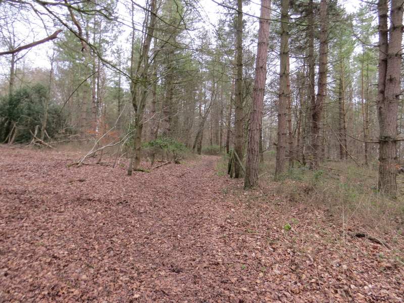
The path through Lee's Wood, after I forked right
The path through Lee's Wood
The path through Lee's Wood, after I turned right
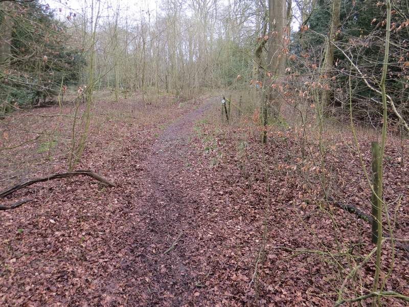
The start of the path from the drive from Cookshall Farm
The path from the drive from Cookshall Farm
The path then continued downhill beside a hedge on my right. Beyond a belt of trees the path continued downhill beside a fence on my right. I then went under a railway bridge, and followed the path across an arable field to reach the A4010 main road on the edge of West Wycombe. I turned left and followed it to a roundabout, where I turned right to follow the A40 through West Wycombe. On the far side of the village I turned right to return to the car park where I'd started.
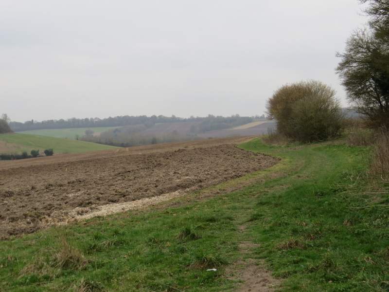
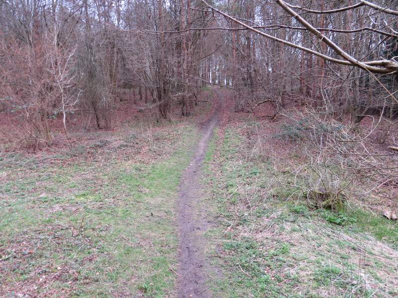
The path from the drive from Cookshall Farm
The path from the drive from Cookshall Farm approaching the railway line, with West Wycombe Hill beyond
The end of the path from the drive from Cookshall Farm, approaching the road
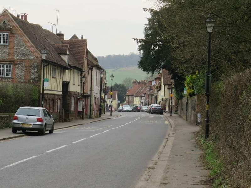
West Wycombe
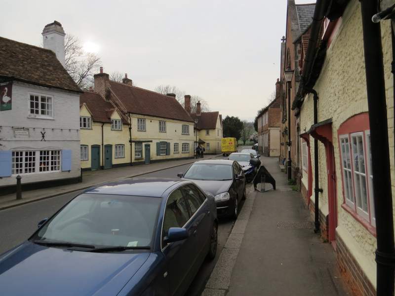
West Wycombe
I'd enjoyed this walk when I did it in the opposite direction in November and I did so today as well, despite the disappointingly grey and misty conditions - I rather wish I'd left it for a finer day when the views would have been nearer their best, to do the walk justice. It seemed to be a long time since I'd followed the path northwest from West Wycombe Wood through Hearnton Wood and on past Nobles Farm to Slough Hill, in recent years I seem to have always walked it the opposite way (and always at the end of a walk when I'm tired, too). The section from where I left the Ridgeway through Loosley Row and Lacey Green to Smalldean Lane was new to me in this direction, so I particularly enjoyed that. There was a lot of woodland walking, but enough field paths to stop that ever becoming monotonous, and plenty of 'ups and downs' - I'd thought the long woodland section through Park Wood, Naphill Common and Great Cookshall Wood would be fairly flat, but there were several undulations I'd forgotten about. It's certainly a walk I'd like to do again sometime.