Pete's Walks- Little Missenden, Hodgemoor Woods, Misbourne Valley (page 6 of 6)
If you are considering walking this route yourself, please see my disclaimer. You may also like to see these notes about the maps and GPX files.
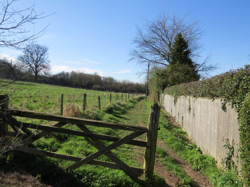
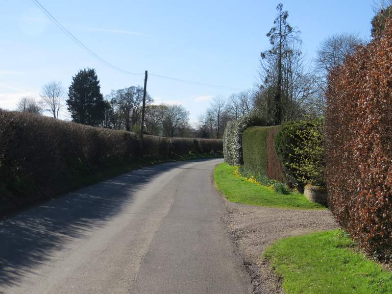
The Platt led to a cemetery, where a footpath continued just to the right. This ran for a few hundred yards between fences and hedges, crossing a drive at one point, and finally passing through a small area of trees and up some 'steps' to reach the A413 main road. Across this I went over a stile and bore right, passing to the left of some bushes and then crossing a ploughed and harrowed field where the path had not been re-instated (I just aimed towards the far right corner).
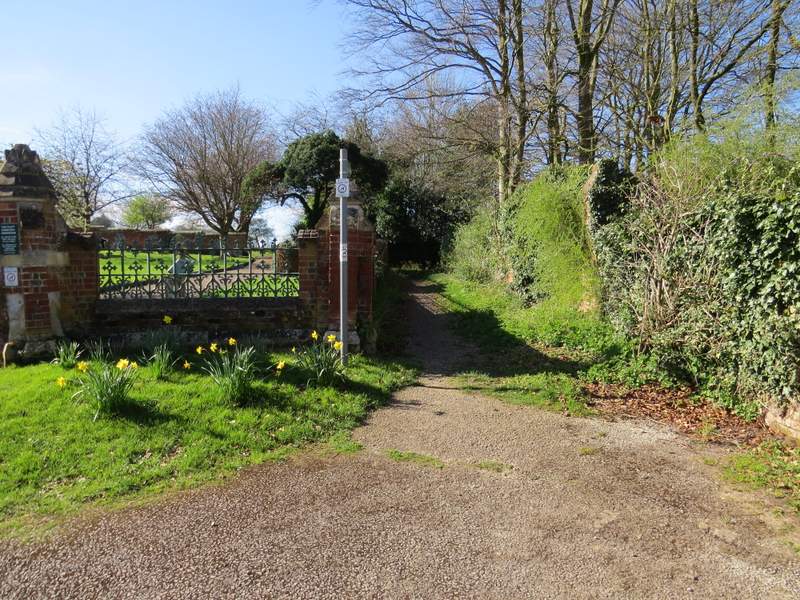
The start of the path where The Platt ends at Platt cemetery
The path from The Platt
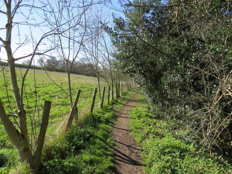
Further along the path from The Platt
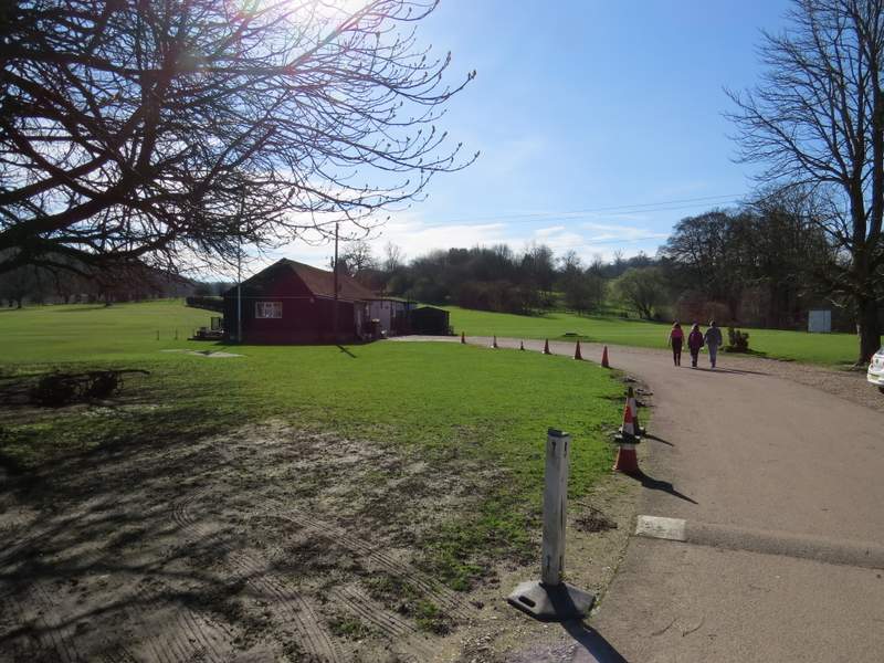
The path on the other side of the A413
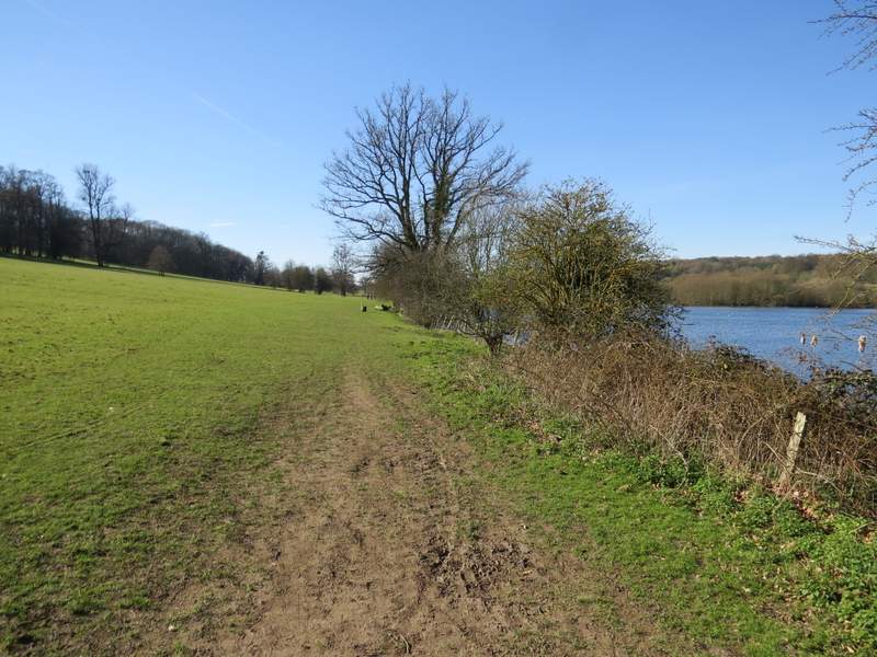
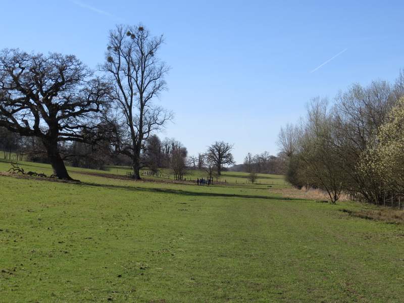
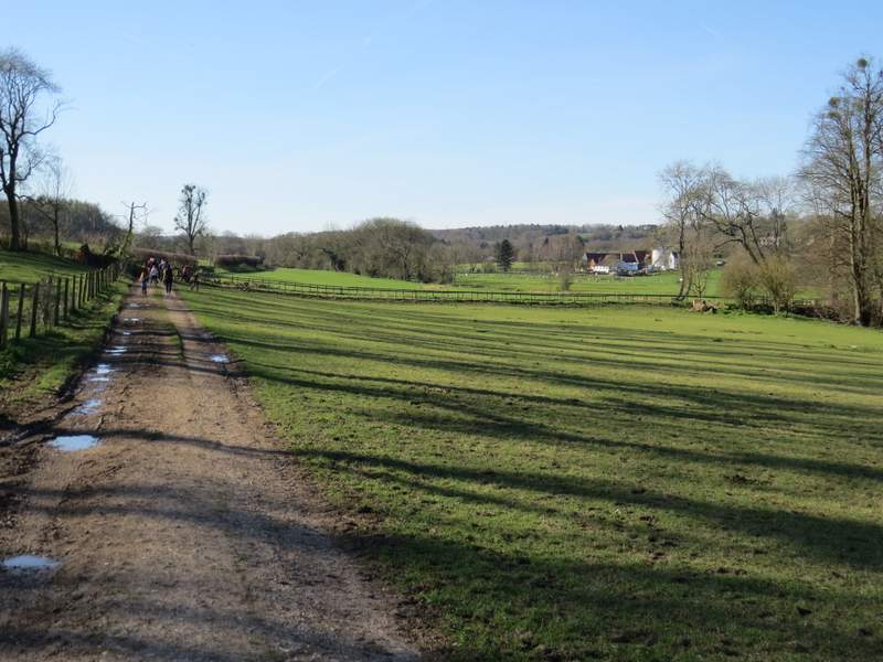
I went through a kissing-gate and crossed the drive to Shardeloes (a large white house, now apartments, on top of the hillside on my left), then followed a drive past a cricket pitch. From near its end I went right across some grass to another gate, The path then led between trees for a short distance, then beyond another gate entered the parkland below Shardeloes, with a lake on my right where the river Misbourne had been dammed. As always it was very pleasant strolling through here, though there were quite a few other people about. After going through another gate the path soon joined a track, and a few hundred yards further on it brought me to a junction with another track (Mop End Lane) - I took a short detour to the right to have a look at the river, then rejoined the track and continued along the valley.
The path past the cricket pitch in the grounds of Shardeloes
The path through the grounds of Shardeloes
The path through the grounds of Shardeloes
The path through the grounds of Shardeloes
Approaching Mop End Lane (I took a quick detour to a bridge on the right of this shot)
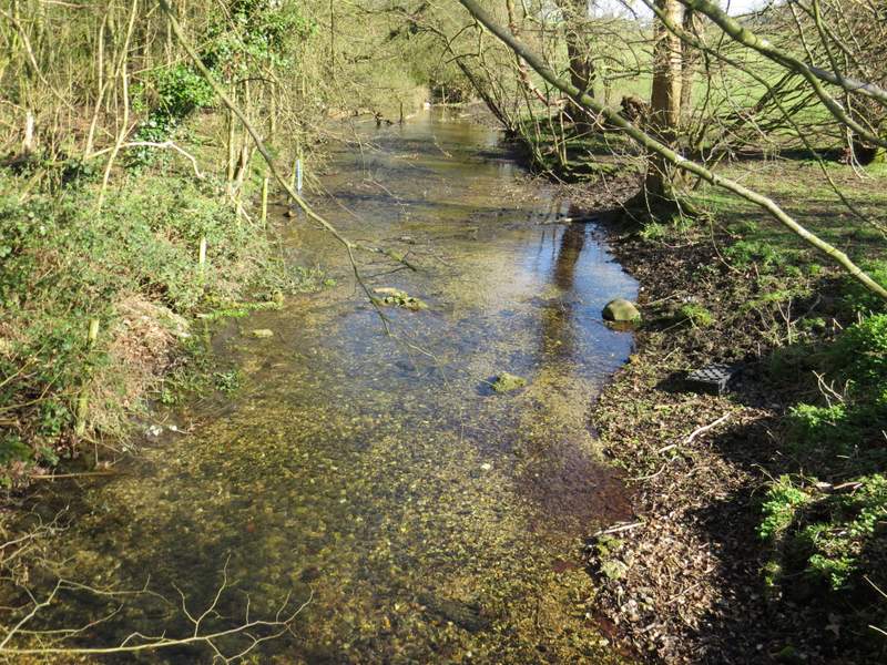
The river Misbourne - note how clear the water is
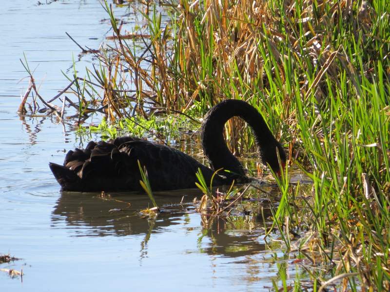
Black Swan on the river Misbourne
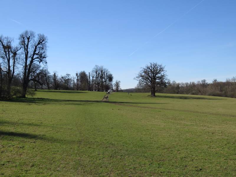
The track continued through the valley for about another half mile, until it reached the minor road through Little Missenden. I turned left, and followed the road through the attractive village for just under half a mile to return to the village church and my parked car.
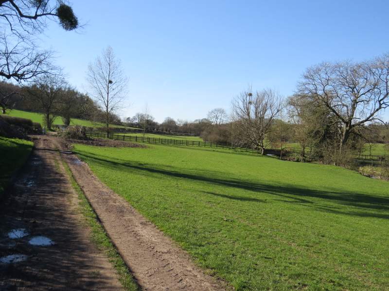
The path through the Misbourne valley continuing towards Little Missenden
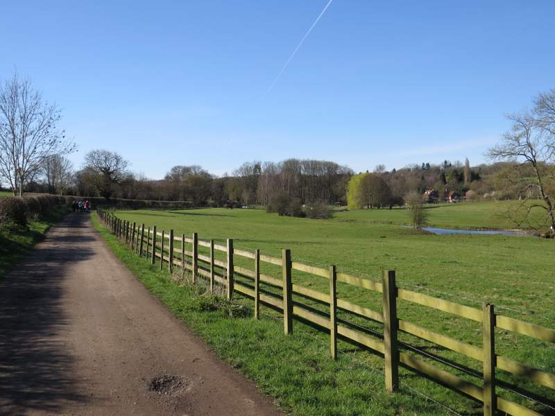
The path through the Misbourne valley continuing towards Little Missenden
The road through Little Missenden
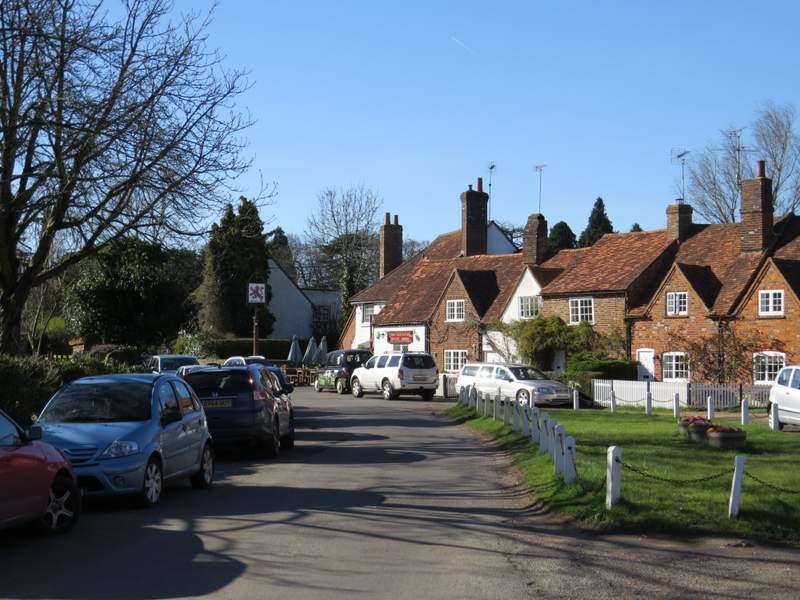
The road through Little Missenden
This walk turned out better than I expected, as in the end I varied it more from that walk I did in May 2016 than I had originally planned. I managed to include three or four paths that I'd never walked before, and it was particularly nice to explore parts of Hodgemoor Woods that I'd not seen previously. The section from Penn Street to Coleshill was the only bit that I felt a little over-familiar with (there is no sensible alternative), but it's pleasant enough and near Coleshill there are some nice views towards the Misbourne Valley. The route was pretty flat, with the biggest uphill coming right at the start, but there were a few minor ups and downs so it never became monotonous. The disadvantage of starting at Little Missenden rather than Amersham Old Town (as I did last May) is that there is a very long stretch along the Misbourne Valley at the end of the walk, which is very pleasant but I think it would be better splitting it between the start and the end of the walk by starting at Amersham Old Town. (OK, I admit the reason I didn't do this today was because I only use the car park in Amersham Old Town on a Sunday or Bank Holiday when it's free!).