Pete's Walks- Maidensgrove Common, Ibstone, Middle Assendon (page 4 of 7)
If you are considering walking this route yourself, please see my disclaimer. You may also like to see these notes about the maps and GPX files.
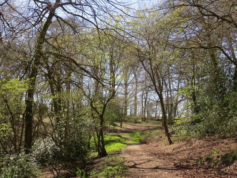
The surfaced lane ended after about a quarter of a mile, but a bridleway continued straight on and gently downhill (I think the Google map shows this is still part of Gray's Lane). There were more Wood Anemones here, and there were pleasant views out through the beech trees on my right towards part of the Wormsley Valley. When the bridleway started to turn left I took a footpath on the right, which dropped down through an area of scrub and then descended across an empty sheep pasture to reach a narrow bit of wood and then another of the Wormsley Estate drives. I turned left along the drive, and followed it to where it ended on Holloway Lane.
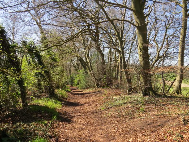
The bridleway continuing from the end of the lane
The bridleway continuing from the end of the lane
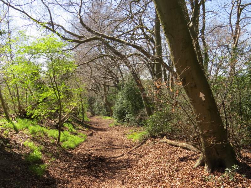
The path after I turned right, heading back down into the Wormsley Valley
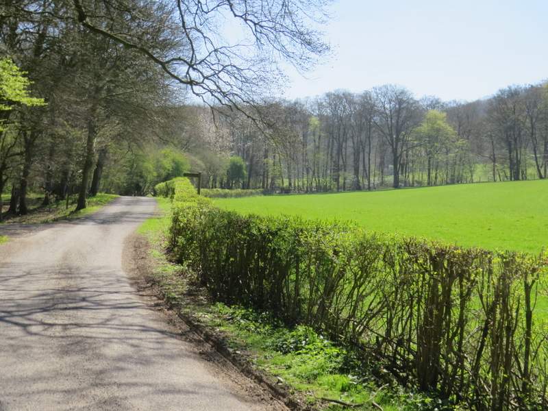
The drive through the Wormsley Valley
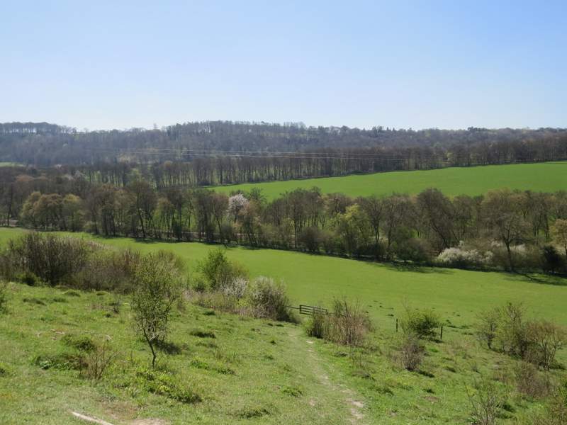
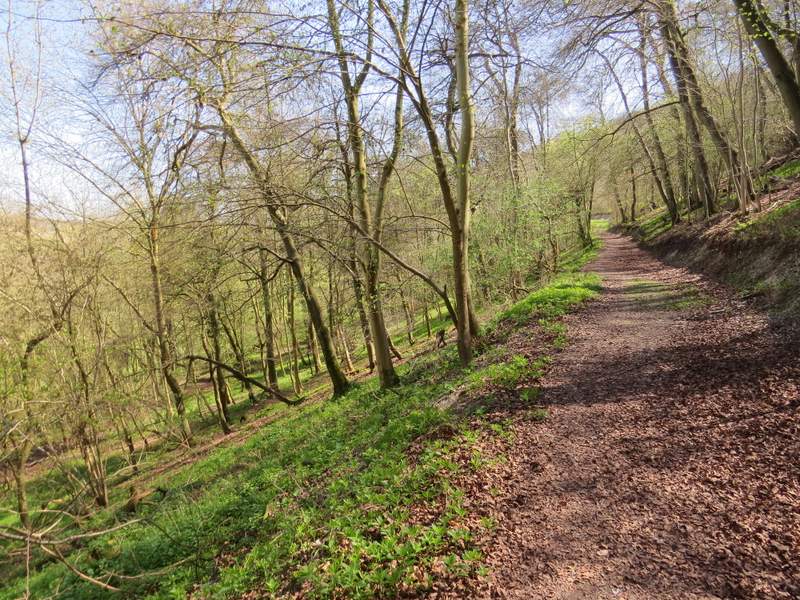
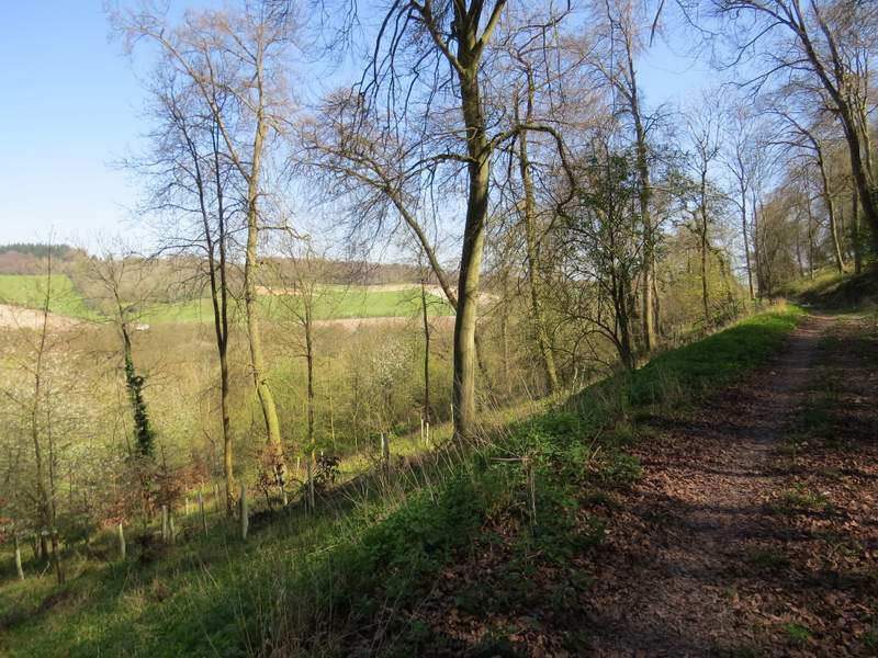
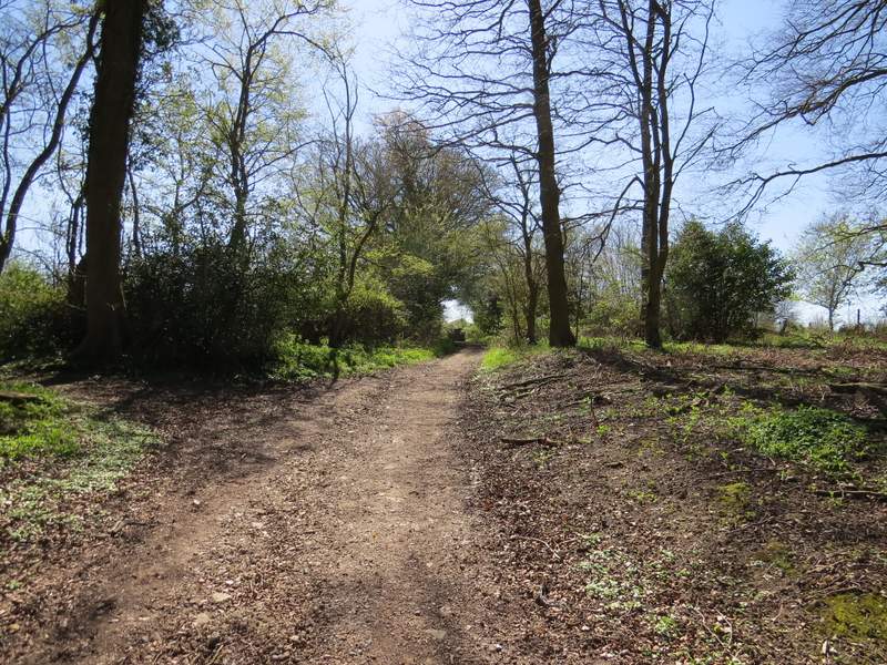
Across the lane I took a footpath that followed a fence on my right through another empty pasture and uphill to Idlecombe Wood - I met a party of about 20 walkers coming the other way. The path continued uphill through the wood for a short distance on 'steps'. At the top of these, I turned left onto one of my favourite paths in the Chilterns, which runs along this wooded hillside for about half a mile with very little up or down at all. It is a wide track, with intermittent views through the trees on the left over a broad and attractive valley.
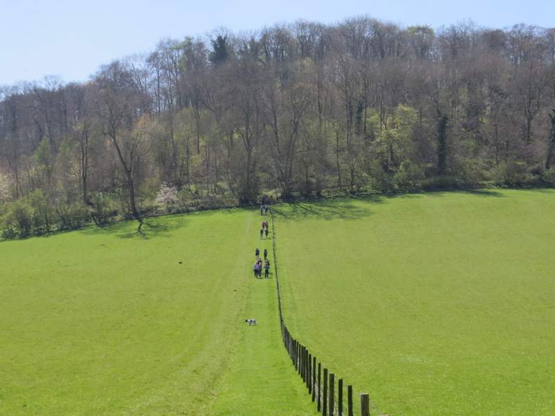
The path from Holloway Lane to Idlecombe Wood
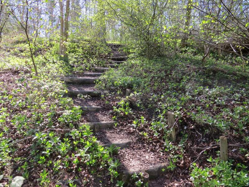
Coming to the end of the 'steps' in Idlecombe Wood
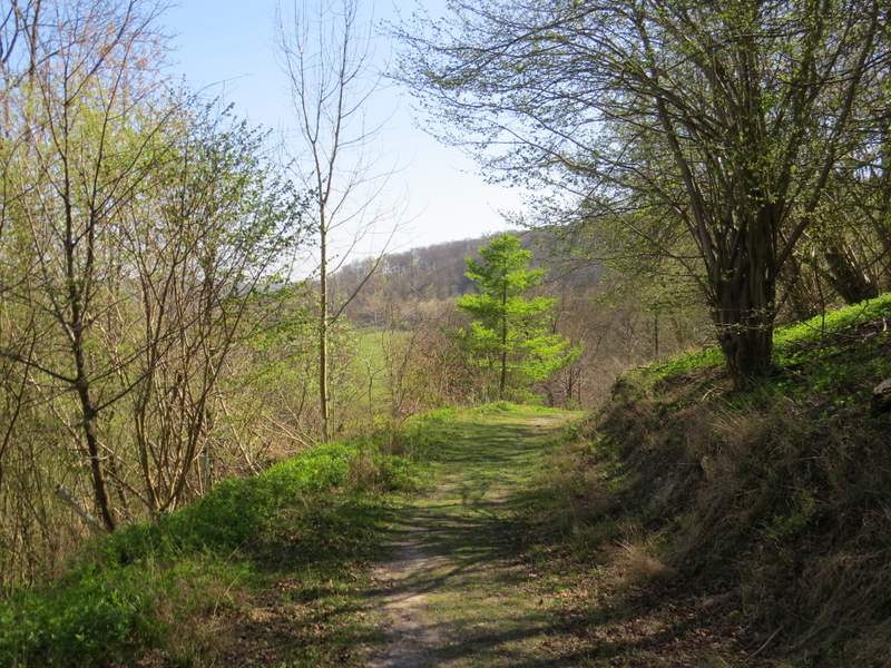
The footpath that contours through Idlecombe Wood
The footpath that contours through Idlecombe Wood
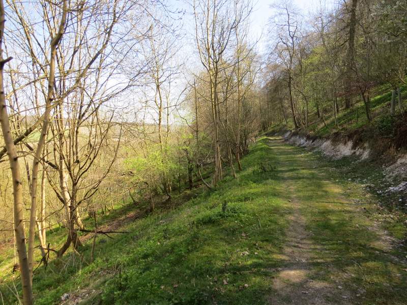
The footpath that contours through Idlecombe Wood
The footpath that contours through Idlecombe Wood
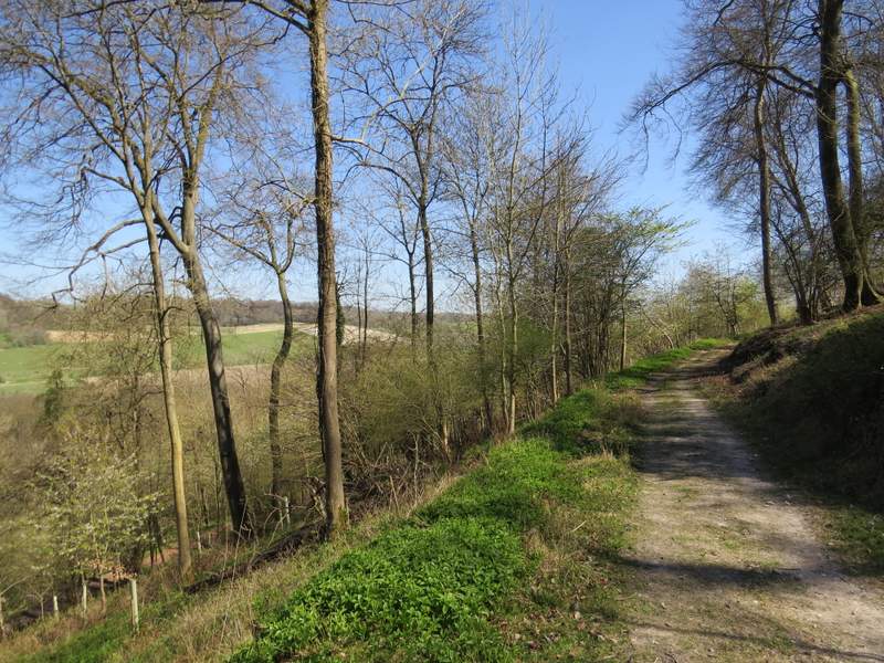
The footpath that contours through Idlecombe Wood
After about half a mile the path merged with another path coming in sharply from the left, and the combined path turned right, still on a good track. I was now pretty much on the boundary between Idlecombe Wood on my right and Churchfield Wood. After a while, the path turned left and merged with a bridleway coming in on the left. I followed the bridleway straight on, ignoring a path going left, and soon left Churchfield Wood and quickly reached the start of a lane outside the grounds of Turville Court.
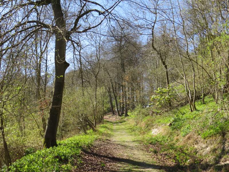
The path after I turned right where two paths merged - the map shows this to be roughly the boundary between Churchfield Wood (left) and Idlecombe Wood
Further along the path, just before it turns left
The path continuing towards Turville Court