Pete's Walks- Maidensgrove Common, Ibstone, Middle Assendon (page 5 of 7)
If you are considering walking this route yourself, please see my disclaimer. You may also like to see these notes about the maps and GPX files.
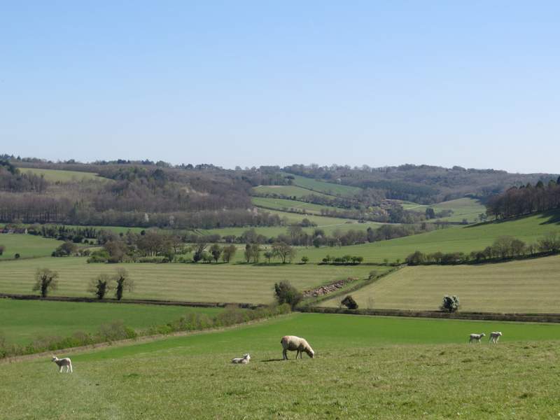
I turned left along a bridleway, running initially between paddock fences on my left and a tall garden hedge on my right. Further on the bridleway continued along the right edge of an empty pasture. There were sheep and lambs in the next pasture which sloped downhill towards a meeting of valleys - the bridleway stayed close to the left edge of this pasture for a while before going quite steeply downhill to a gate.
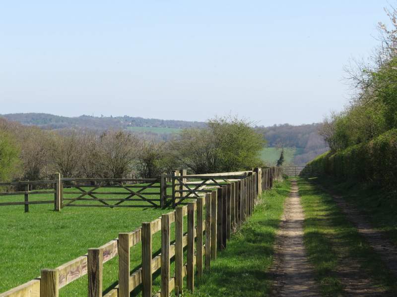
The bridleway going left past Turville Court
The bridleway from Turville Court (the white dot on the left edge of the photo is Cobstone Mill)
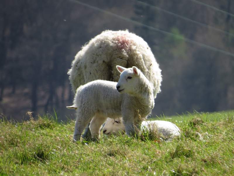
Another lamb shot
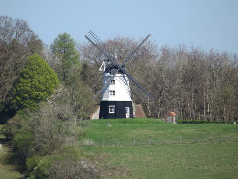
A zoomed in shot of Cobstone Mill
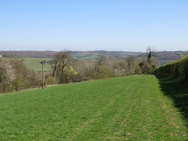
View towards the northern end of the Hambleden Valley
Coming to the end of the bridleway from Turville Court - I turned right behind the hedge
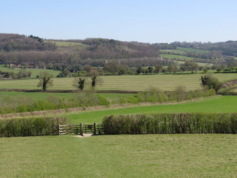
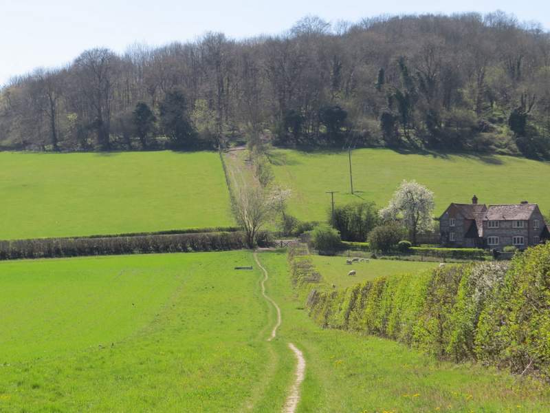
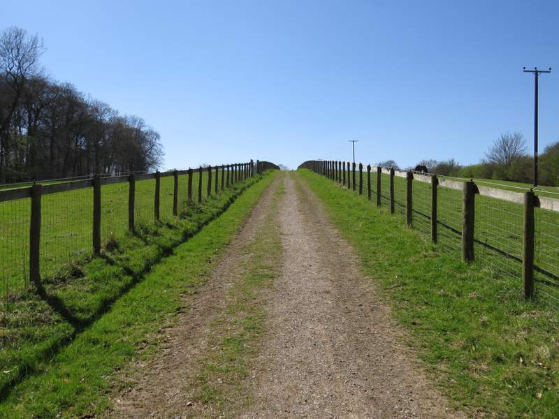
After going through the gate I turned right, following a hedgerow for several hundred yards to reach Dolesden Lane. Across this the bridleway followed a track uphill, soon passing through a small bit of woodland and then continuing uphill with paddocks either side. The bridleway then levelled off, and continued between the paddocks to reach Southend Farm, where it carried on along the drive from the farm. After maybe a quarter of a mile I kept left at a fork to reach the green at Southend where I stopped on a bench to eat a rather late lunch (it was now 2pm).
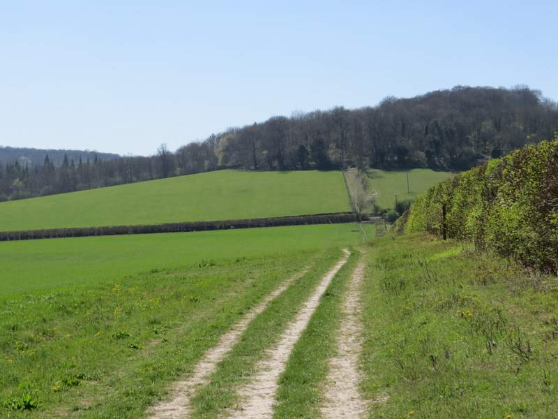
The bridleway to Southend
The bridleway to Southend, Dolesden Lane is between the crossing hedgerows
The bridleway to Southend
Passing Southend Farm
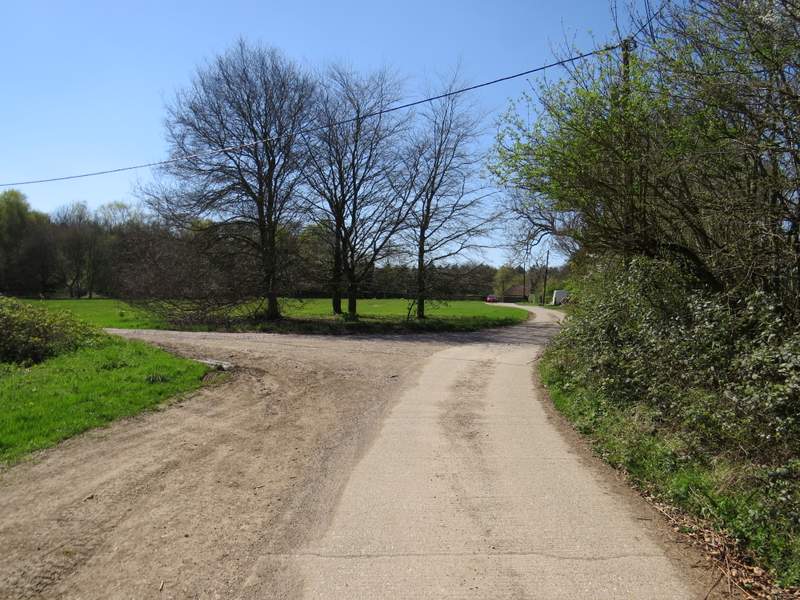
Southend (this is immediately after I kept left at the fork - the right fork is not shown on the OS map)
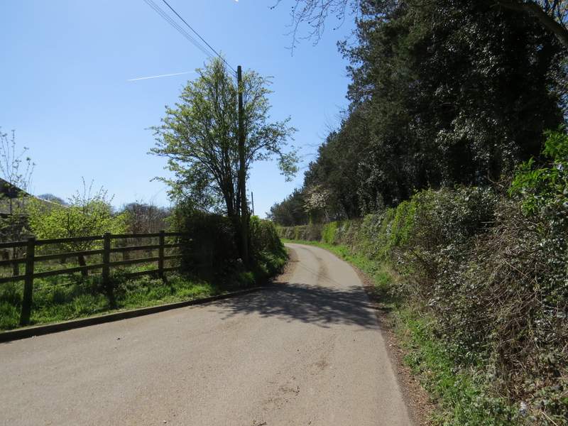
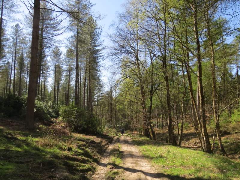
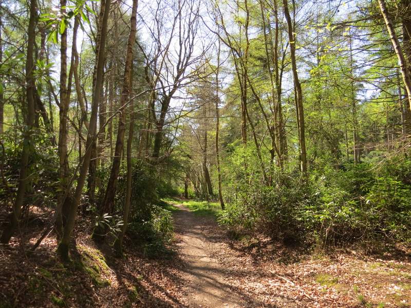
I then turned left along the road through the hamlet, and after one or two hundred yards turned right along a footpath. The path had a wood on my left., and after passing a pair of cottages there was a field on my right. Beyond the field I had woods either side, the path roughly following the boundary between Kildridge Wood and Balham's Wood, on my right. The path was initially along a good track, then became narrower as it went slightly left through an area of rhododendrons. I then passed through a tall gate to enter the deer park that surrounds Stonor House.
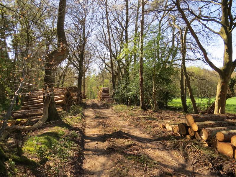
Near the start of the path to Stonor Deer Park
The path to Stonor Deer Park
The path to Stonor Deer Park
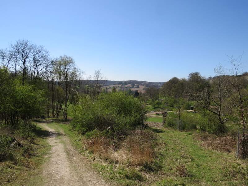
Stonor Deer Park