Pete's Walks- Gaddesden Row and Potten End (page 4 of 6)
If you are considering walking this route yourself, please see my disclaimer. You may also like to see these notes about the maps and GPX files.
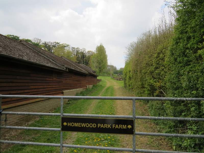
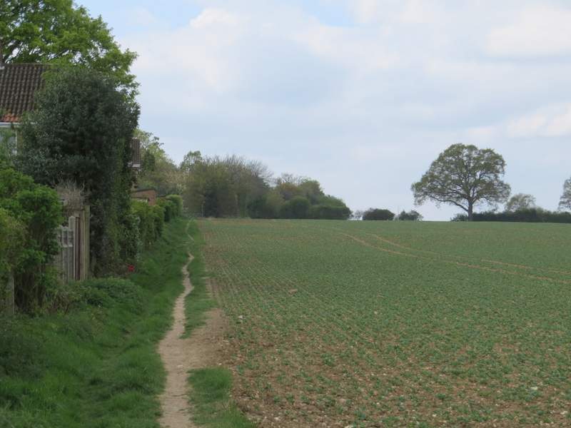
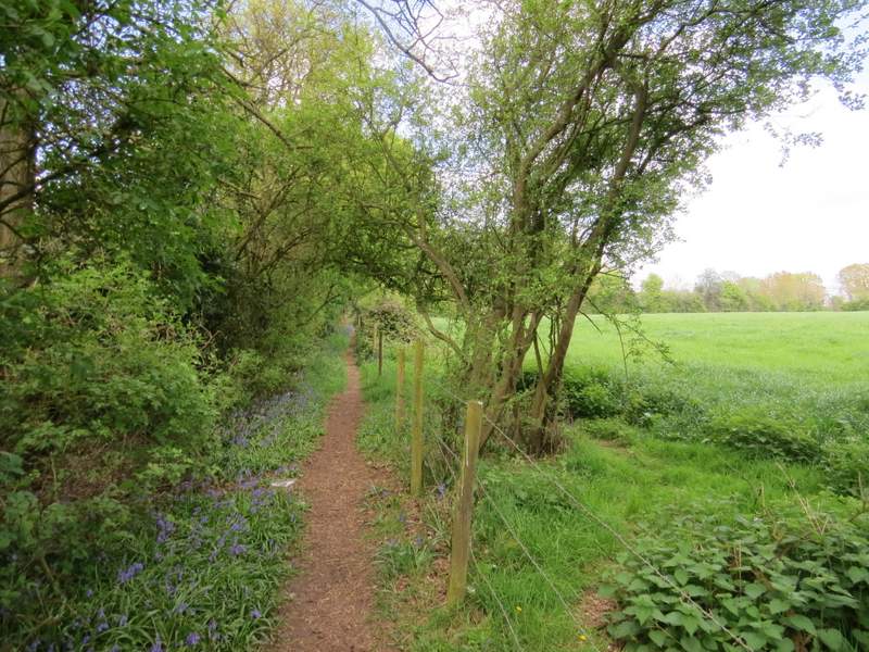
The path started through the grounds of Homewood Park Farm, continuing gently uphill usually with fences either side, and passing a small wood on the left and then another on the right. As the path reached the top of the slope the OS map shows a larger wood on the left, but in fact there is now woodland either side of the path - at one point I was confused by seeing a metal kissing-gate beyond which a parked forked left, but correctly guessed that I just kept going straight ahead. Further on I had houses on the edge of Gadebridge, part of Hemel Hempstead, close by on my left. When the wood ended the path carried straight on along the left edge of a huge arable field, still with Gadebridge immediately to my left.
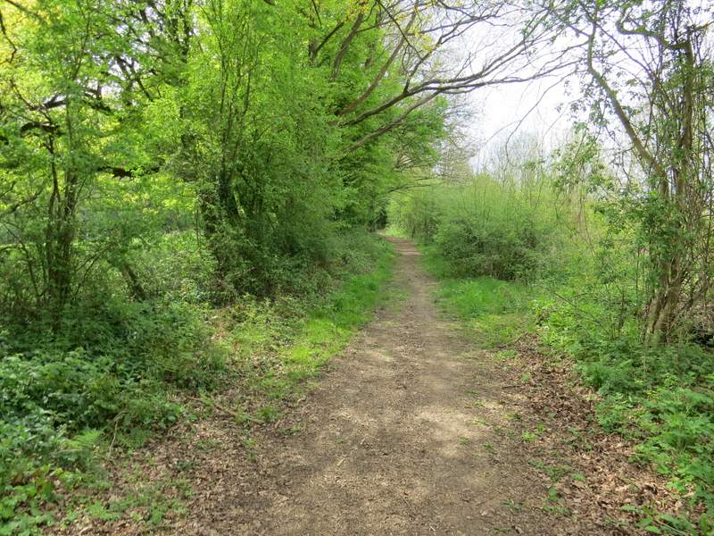
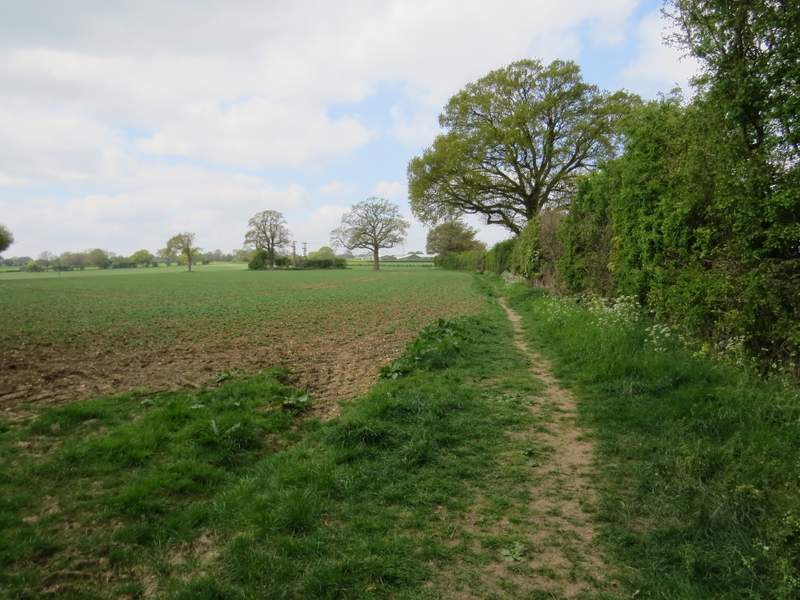
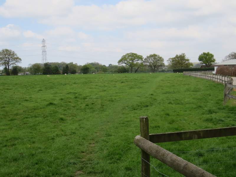
The start of the path from Piccotts End to Gadebridge
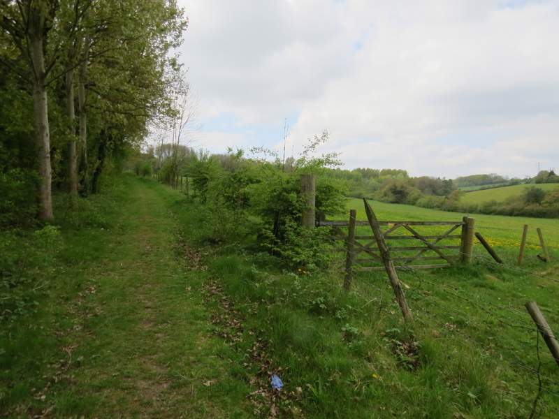
The path from Piccotts End to Gadebridge
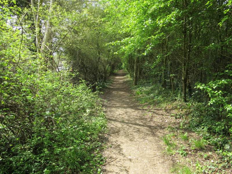
The path from Piccotts End to Gadebridge
The path from Piccotts End to Gadebridge
The path from Piccotts End to Gadebridge
The path from Piccotts End to Gadebridge
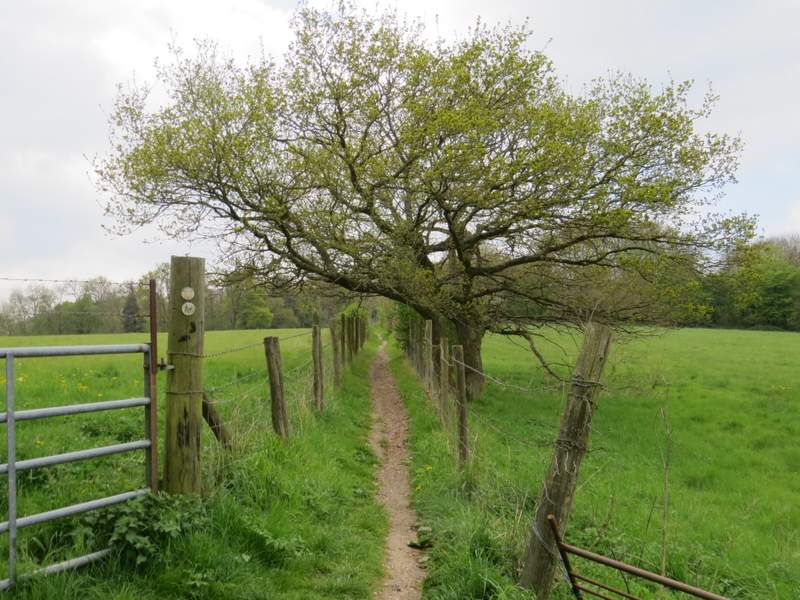
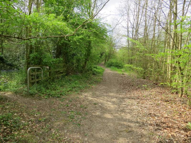
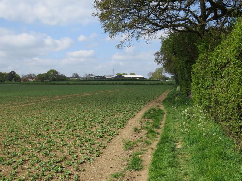
The path from Piccotts End to Gadebridge (now on the edge of Gadebridge)
The path from Piccotts End to Gadebridge (now on the edge of Gadebridge)
The path eventually ended when it joined a road on the edge of Gadebridge. I followed the road straight on for about a hundred yards, then took a public footpath on the right that followed a hedgerow on the right of another large arable field. After a quarter of a mile or so the path turned left in a field corner (a sign indicated that it had been officially rerouted, the OS map shows it going on a bit further before turning left). It continued beside a fence and new hedge on my right, then went slightly right to follow the edge of a sheep pasture to reach the drive to Boxted Farm (which was now just to my right).
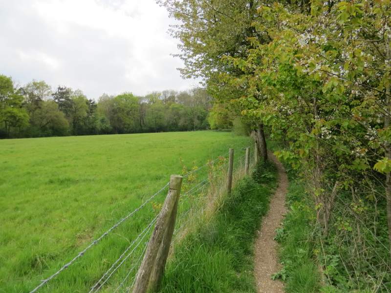
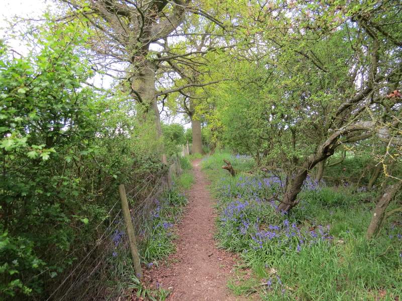
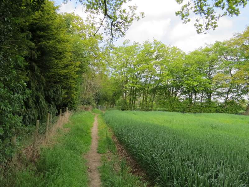
The footpath to Boxted Farm
The footpath to Boxted Farm
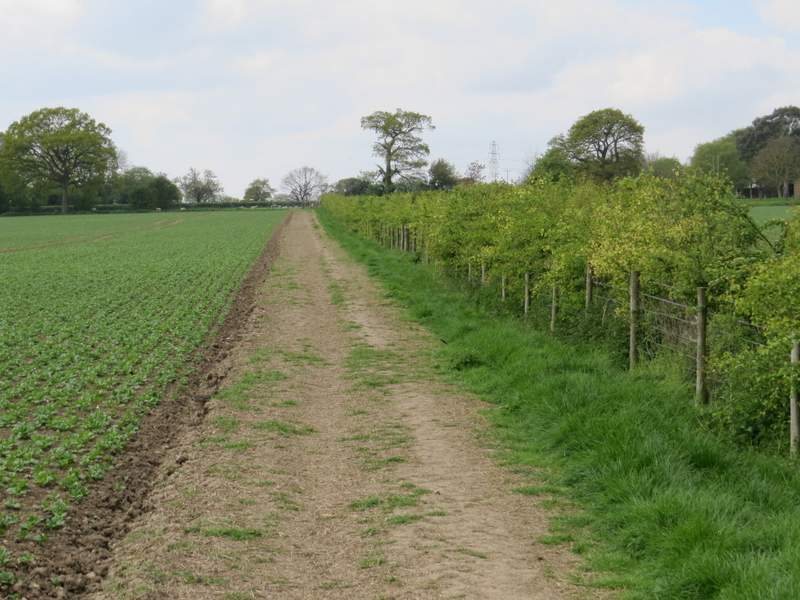
The footpath to Boxted Farm
The footpath to Boxted Farm
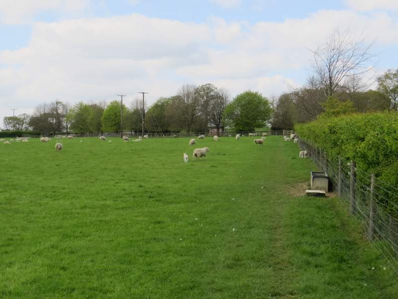
I was now joining a section of the Chiltern Way, which I would now be following almost the rest of the way back to Gaddesden Row - I frequently walk parts of the Chiltern Way, but I don't think I've walked much of this section since I did the Chiltern Way for a second time in 2007. Initially, there was another official path rerouting - instead of following the drive past Boxted Farm, the path crossed the drive and turned right, running through another sheep pasture just to the left of the drive. It then rejoined the old route (at least I presumed so, most unusually I didn't remember this section of the Chiltern Way from Boxted Farm to Potten End at all) and followed a broad track between fields downhill into a valley. The path then climbed gently up the other side of the valley, running between hedges and trees, and then continued to the left of a couple of fields to reach a road in Potten End
The footpath going past Boxted Farm
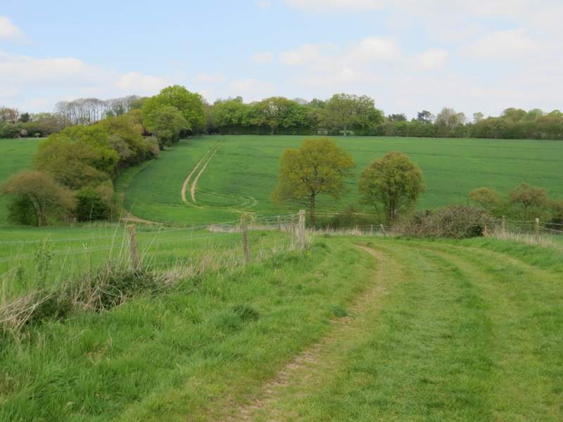
The footpath continuing towards Potten End
The footpath continuing towards Potten End
The footpath continuing towards Potten End
The footpath continuing towards Potten End