Pete's Walks- Gaddesden Row and Potten End (page 3 of 6)
If you are considering walking this route yourself, please see my disclaimer. You may also like to see these notes about the maps and GPX files.
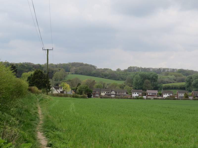
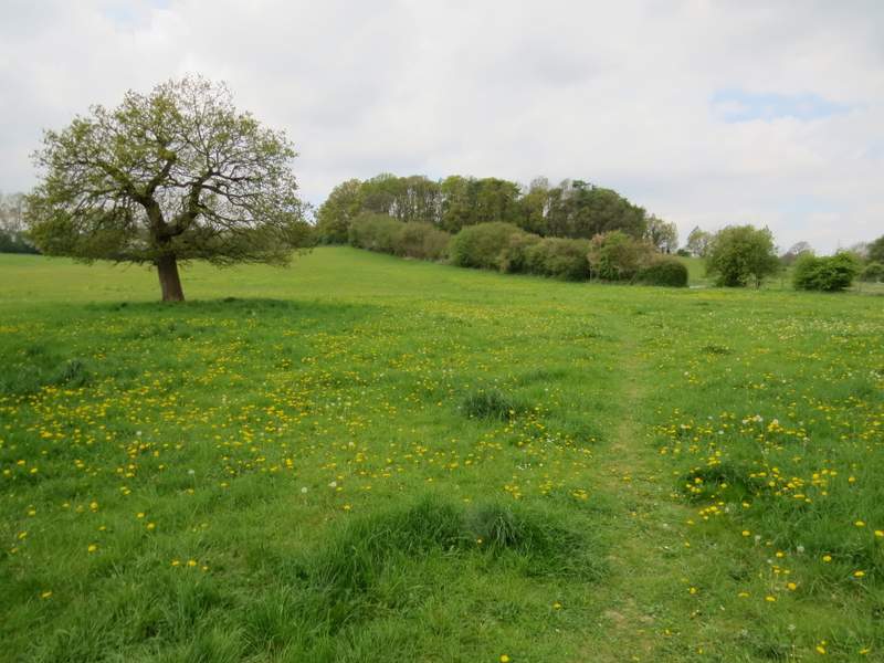
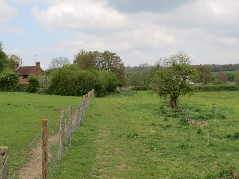
After about a third of a mile, shortly before the bridleway reached a field corner, I turned left onto another bridleway - I was now leaving the route I walked last March and visiting an area where I'd never walked before. The bridleway followed a fence and then hedge on my left, soon coming to a junction (near Lovetts End Farm) where I turned right onto another bridleway- a sign said it was two thirds of a mile to Wood Farm. This bridleway followed a broad band of grass between very large green fields of growing corn. After passing a small copse on my right, there was a hedge on my right all the way until I reached the drive to Wood Farm.
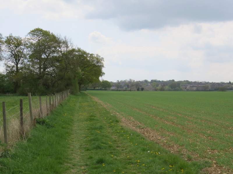
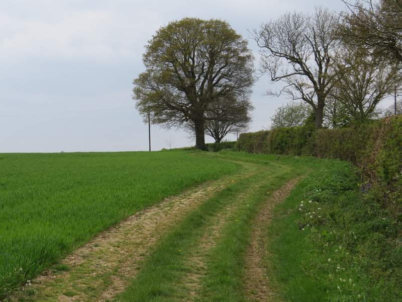
The bridleway after I turned left, towards Lovett's End Farm
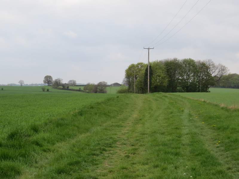
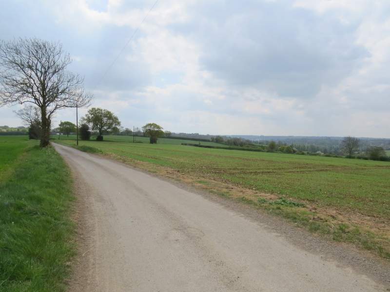
The bridleway from Lovett's End Farm to Wood Farm
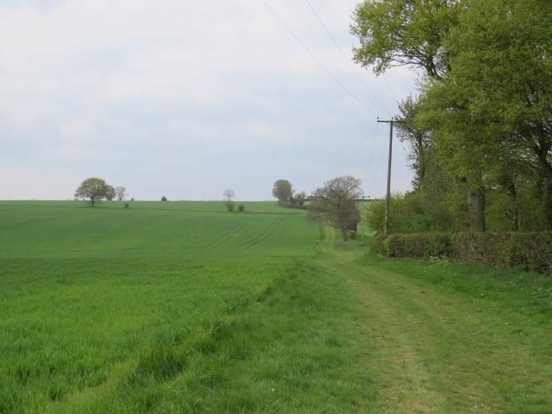
The bridleway from Lovett's End Farm to Wood Farm
The bridleway from Lovett's End Farm to Wood Farm
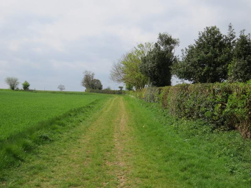
The bridleway from Lovett's End Farm to Wood Farm
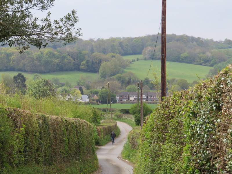
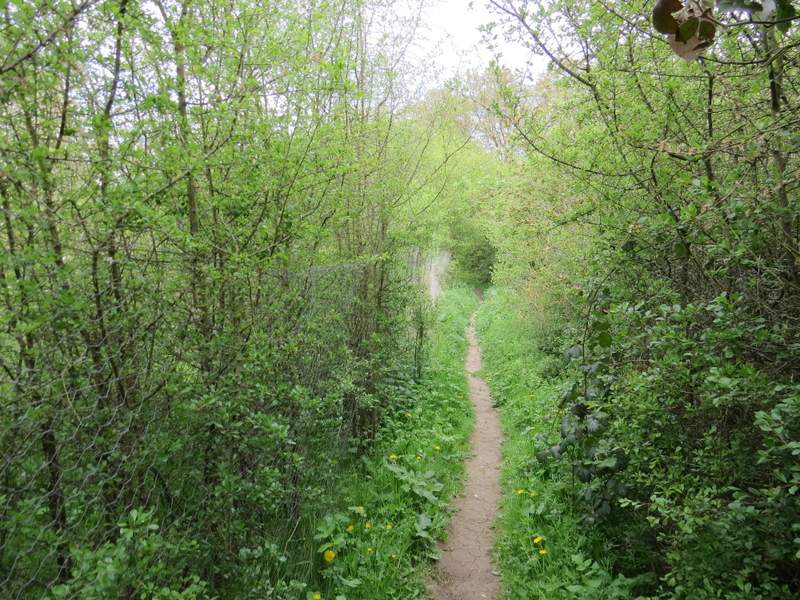
The OS map shows the drive is a public right of way, but doesn't show whether it actually joins up with a public footpath on the other side of Wood Farm - as there were no signs at all, other than for the bridleway I'd just followed, I decided to turn left and followed the drive to Dodds Lane, where I turned right. The lane dropped downhill between hedgerows, heading down to the hamlet of Piccotts End in the Gade Valley. Shortly after the lane had turned left then right, a footpath started on the right that ran parallel to the lane and soon brought me to the road through Piccotts End.
The drive from Wood Farm
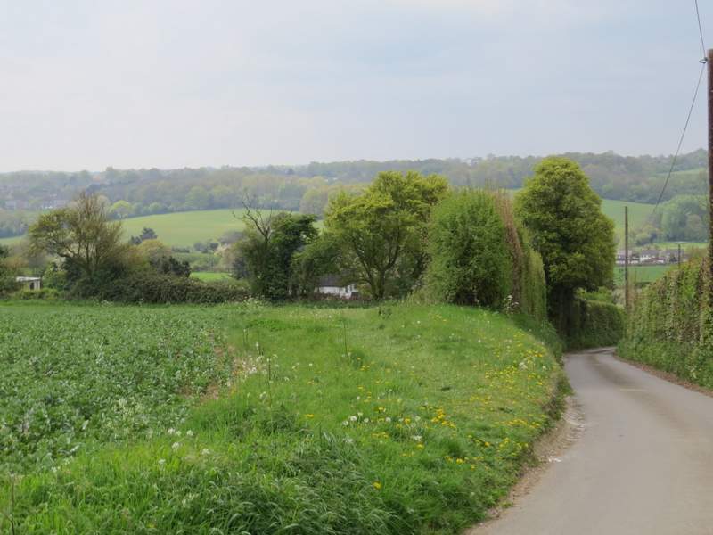
Dodds Lane
Dodds Lane
The footpath beside Dodds Lane, approaching Piccotts End
I turned left along the road. For some reason I thought Piccotts End was going to be an attractive village with a street full of old houses, but that must be another part of it. I was going to take the first footpath on the right, but actually went on a bit further to the second footpath on the right, in a vain hope of seeing the old part of Piccotts End. The path I took soon crossed the River Gade and then reached a main road. I followed this left for two or three hundred yards, then took a path on the other side. This crossed a corner of a very large meadow, and then followed a fence on my left through an empty pasture or paddock. Shortly after the fence was replaced by a hedge, the path went through a gate in the hedge and continued a short distance to a path junction, where I turned left (I would have reached this point quicker if I'd taken the first path on the right in Piccotts End)
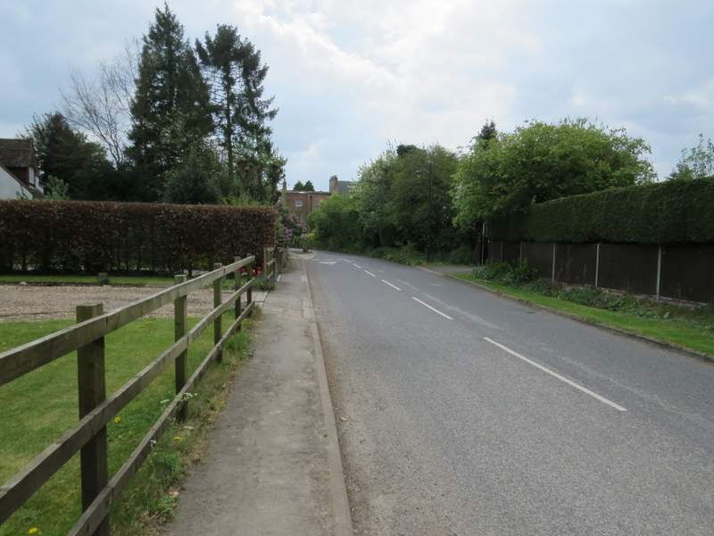
Piccotts End
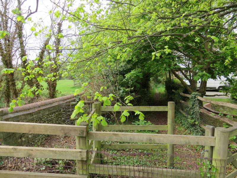
The start of the footpath from Piccotts End
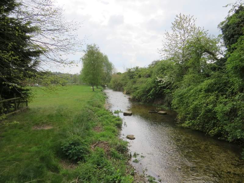
The River Gade at Piccotts End
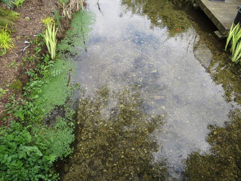
The water was very clear, as it is with all chalk streams
The start of the path on the other side of the A4146
The path on the other side of the A4146
The path on the other side of the A4146