Pete's Walks- West Wycombe and Moorend Common (page 5 of 6)
If you are considering walking this route yourself, please see my disclaimer. You may also like to see these notes about the maps and GPX files.
After maybe a hundred yards or so the bridleway forked right from the track, now running through part of Cadmore End Common. I went straight on where another bridleway went right, then a little further on the bridleway I was following turned right down a drive. At its end I turned left along a drive or track, then when this reached the start of a lane I turned left again along the drive to Watercroft Farm (where I was briefly back on familiar territory).
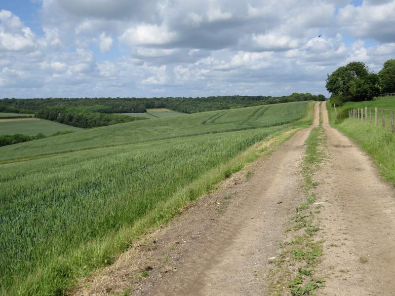
This is taken from where the bridleway then forked right from the track
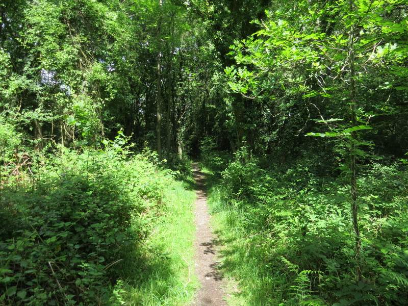
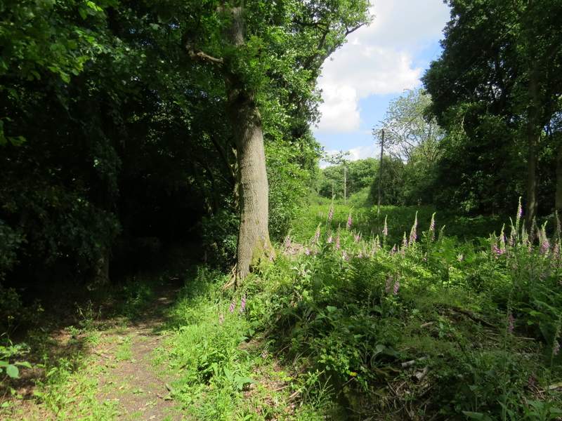
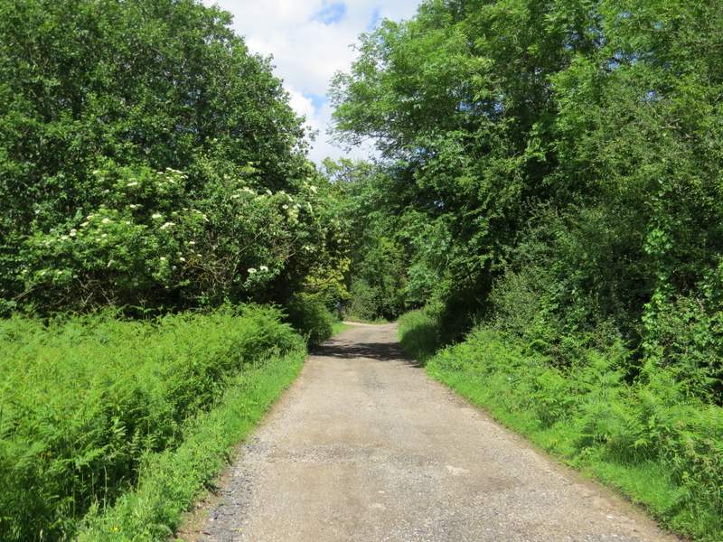
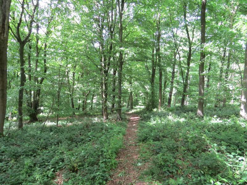
The bridleway continuing through Cadmore End Common
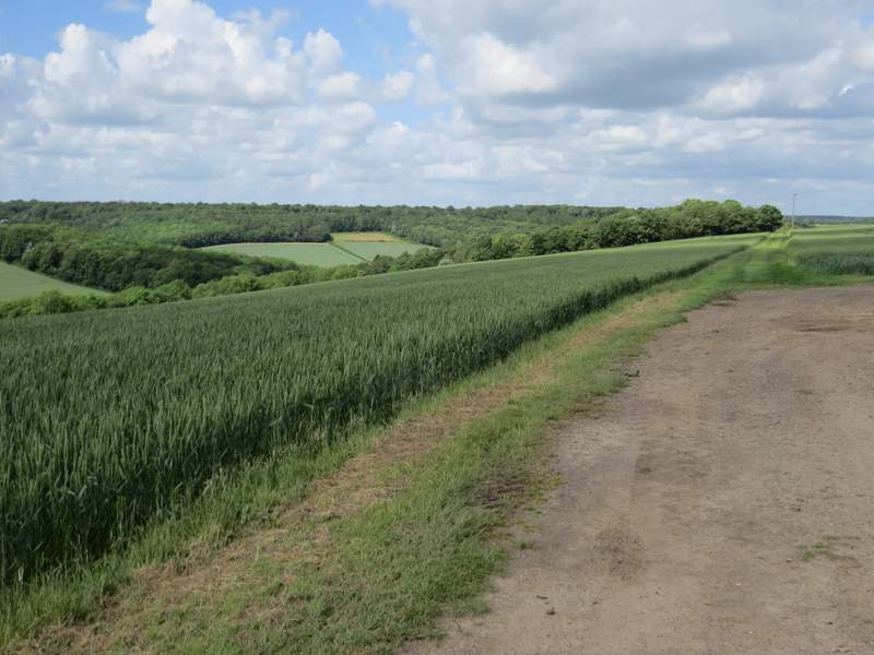
The bridleway continuing through Cadmore End Common, just before it turns right down a drive
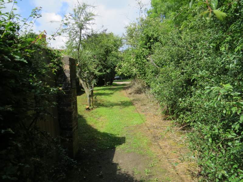
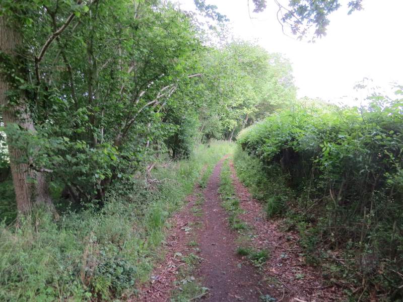
The drive after the bridleway turns right
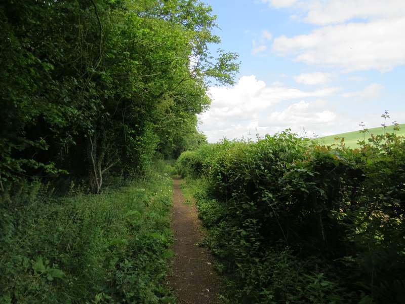
The drive or track after I turned left at a bridleway T-junction on Cadmore End Common
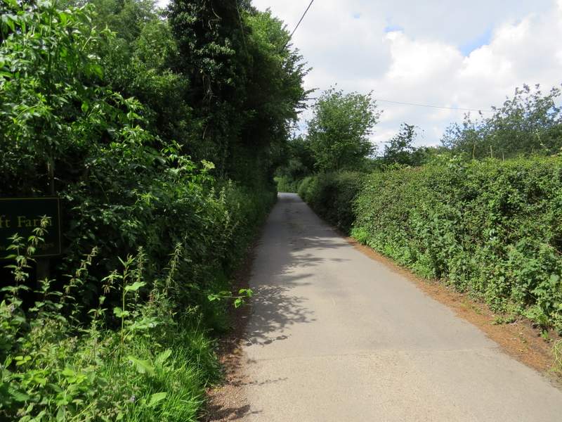
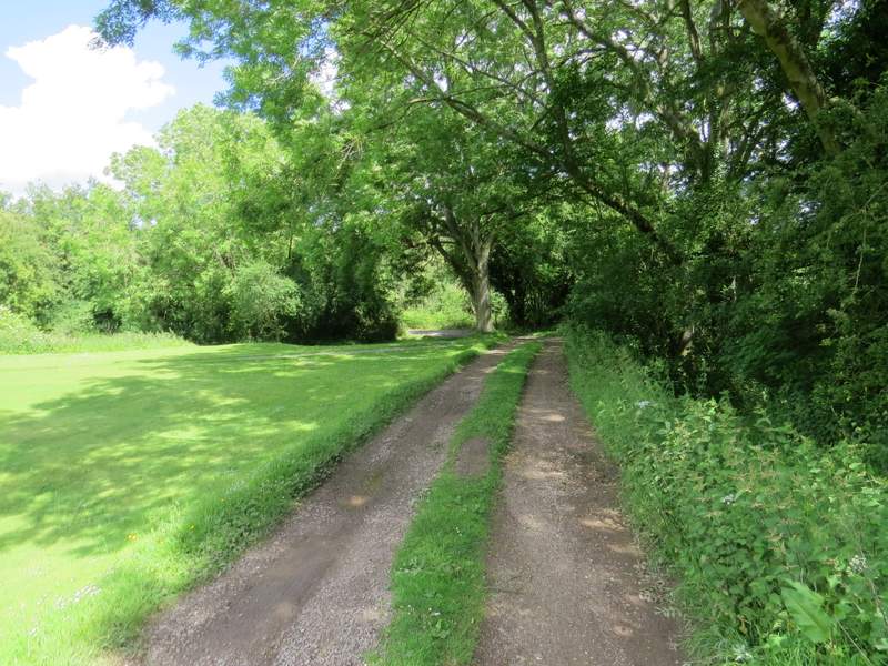
The drive to Watercroft Farm
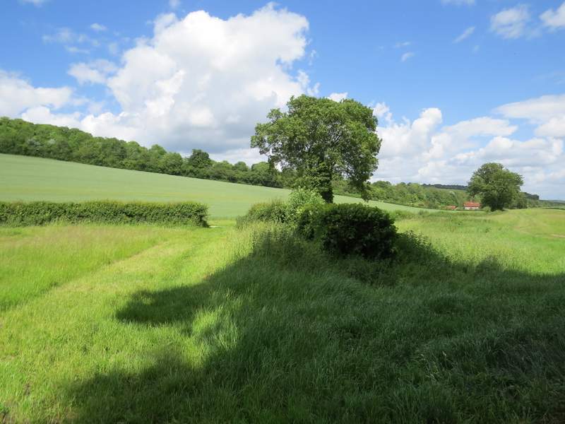
One or two hundred yards down the drive I turned left onto a footpath that followed the left edge of a paddock. When I reached the corner of the paddock, the path continued through a belt of trees, soon passing through two gates either side of a short track between fields. At the end of the tree belt I reached a path junction - the few times I've been here before I've gone straight on, but now I turned right and followed a level farm track with attractive views over a valley on my left. After a while the track turned right, but the footpath continued straight on along a grassy headland between corn fields.
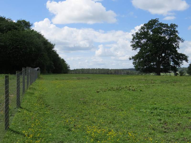
The footpath starting from near Watercroft Farm
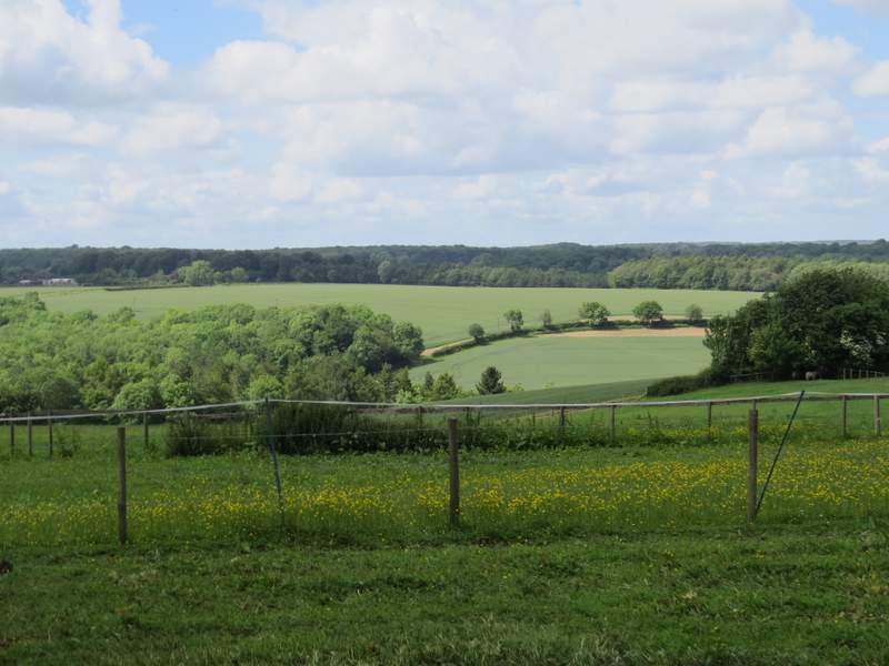
Zoomed-in view from near Watercroft Farm
The path after I turned right
The path after I turned right, heading to a corner of Barn Wood
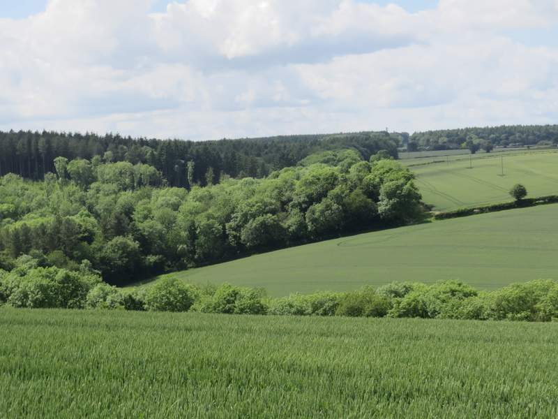
View left from the same spot as the previous photo
On reaching a corner of Barn Wood, the path entered the wood and headed half-left, descending steadily through the wood down into the valley. On reaching a path crossroads in the valley bottom I turned right - this path used to run through the middle of a narrow belt of trees but now it initially ran along the right edge of the tree belt. After a while it resumed its old route through the centre of the trees. At the end of the tree belt I went on a few yards to reach a hedge corner and a path junction where I turned right.
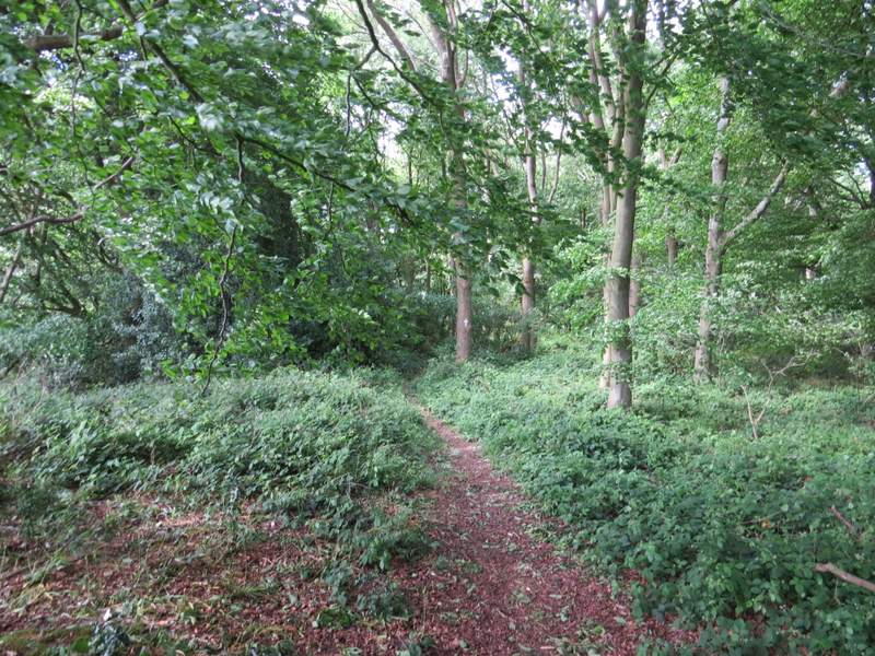
The path going half-left through Barn Wood
The path going half-left through Barn Wood
The path after I turned right on the northern edge of Barn Wood
The path after I turned right on the northern edge of Barn Wood

The path after I turned right on the northern edge of Barn Wood
The path after I turned right on the northern edge of Barn Wood, just before I turned right again