Pete's Walks- West Wycombe and Moorend Common (page 6 of 6)
If you are considering walking this route yourself, please see my disclaimer. You may also like to see these notes about the maps and GPX files.
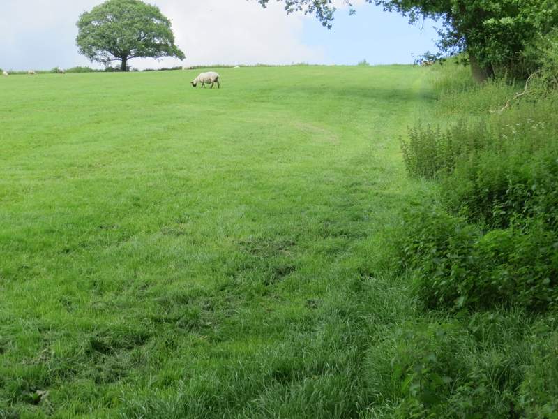
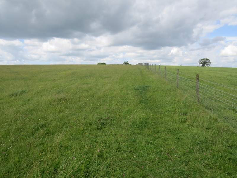
I followed the path beside a hedgerow on my left, passing Fillingdon Farm and continuing down its drive for several hundred yards to reach a road on the edge of Piddington. Here I turned left to reach a junction with the A40. Carefully across this road, I continued the short distance down the drive to Hall Farm. Here a waymark indicated where a path went right, through the roughly surfaced yard to a stile (from now until I returned to the A40 near West Wycombe, I'd be on paths I'd only walked once before and that was in the opposite direction). Over this the path followed a fence on my left uphill through a field of long grass. I then went over two stiles either side of a track and continued more steeply uphill through a sheep pasture, now with a hedge on my right. Over another stile, the path crossed a small corner of another pasture, with some bushes (presumably the remains of a hedge) on my right. The slope then gradually eased as the path continued beside a wire fence on my right through a huge field (it usually has cows in it, but there was no evidence of them today, although I couldn't see the far side of the field because of the curving ground).
The path after I turned right, heading towards Fillingdon Farm
The path continuing from Fillingdon Farm
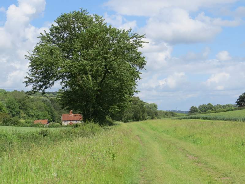
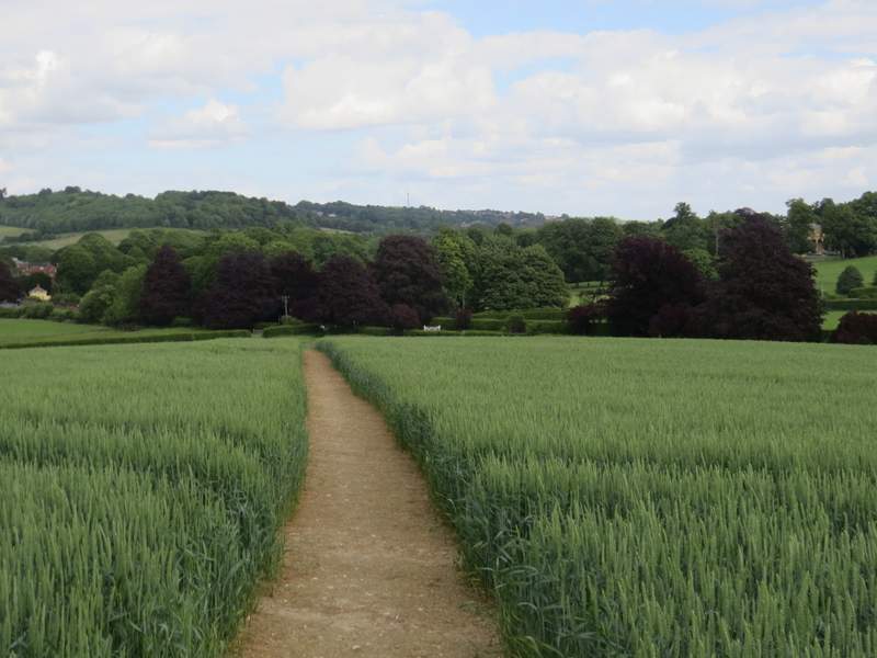
The start of the path from Ham Farm
The path from Ham Farm
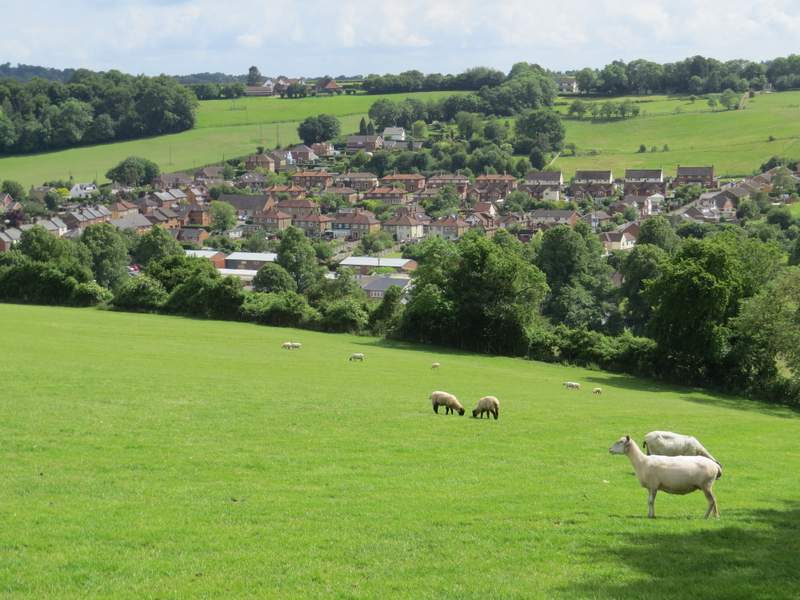
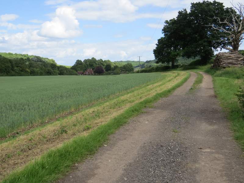
View over Piddington
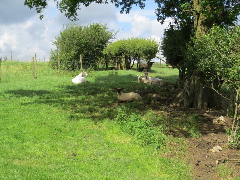
The path from Ham Farm
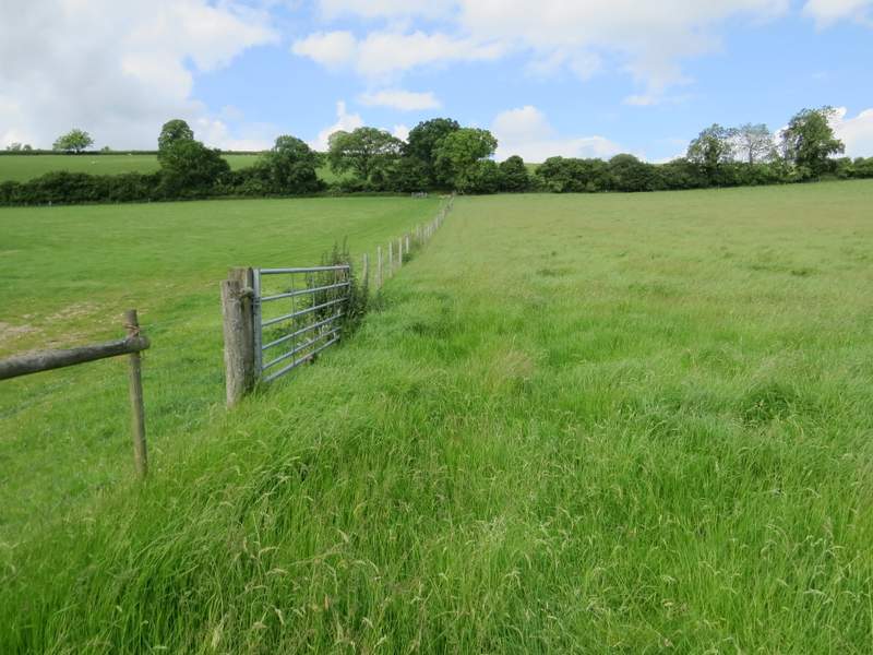
The path from Ham Farm
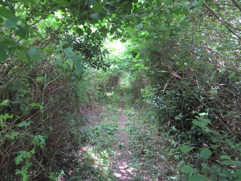
Immediately after a fence came in on the right, I went over a stile and followed a broad track with that fence now on my right. Close to a solitary tree the footpath left the track and ran in a low green tunnel through overhanging hedges. At the end of the path I turned right down a bridleway, another green tunnel but broader and taller than the footpath had been, After a short distance I turned left onto a footpath that ran through Great Cockshoots Wood for about a third of a mile.
The footpath after I turned right, heading to Great Cockshoots Wood
The footpath after I turned right, heading to Great Cockshoots Wood
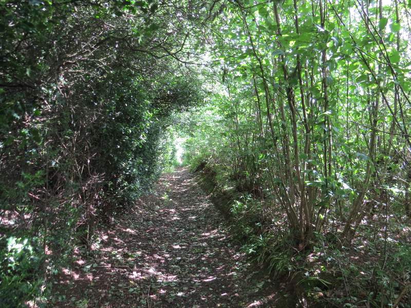
The bridleway on the edge of Great Cockshoots Wood
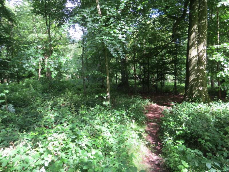
The path through Great Cockshoots Wood
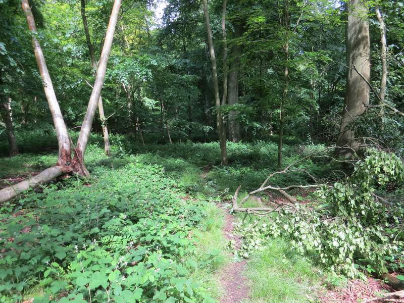
The path through Great Cockshoots Wood
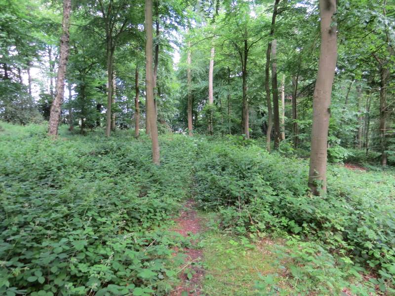
The path through Great Cockshoots Wood
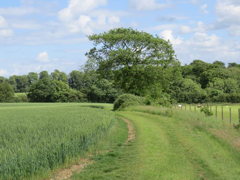
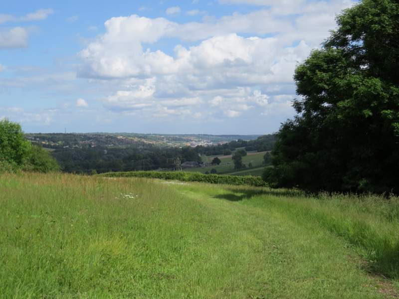
On the far side of Great Cockshoots Wood the path joined a track through an area of rough grass. The wood on my right was soon replaced by a hedgerow, and ahead of me was a fine view along a valley towards High Wycombe. The path then continued steadily downhill through two corn fields to reach the A40, almost opposite the start of Toweridge Lane. I turned left and followed the main road back into West Wycombe, immediately turning left to return to the car park where I'd started.
The path continuing from Great Cockshoots Wood
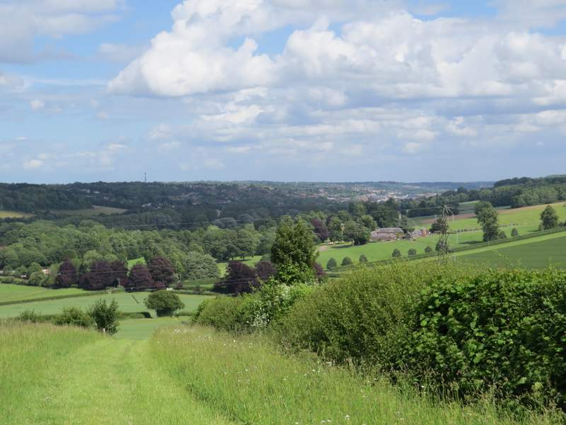
The path continuing from Great Cockshoots Wood, High Wycombe in the distance
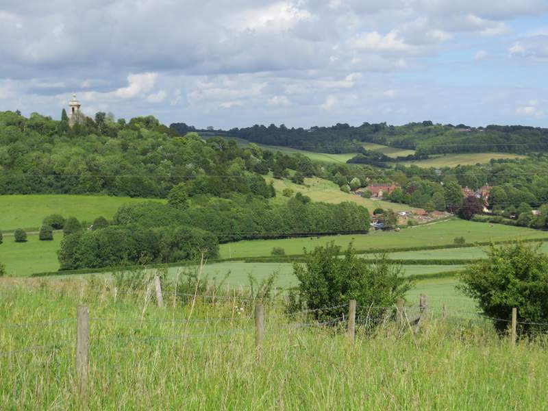
View left towards West Wycombe
The path continuing from Great Cockshoots Wood, heading to the A40 just outside West Wycombe
This was another enjoyable walk, with a few paths I'd not walked before and a few I'd only walked in the opposite direction. The path back down from Great Cockshoots Wood to West Wycombe was a splendid way to finish the route, with splendid views ahead towards High Wycombe. At 11 miles it's a bit shorter than most of the walks I do, but I'd certainly be happy to do it again sometime.