Pete's Walks- Maidensgrove Common and Moor Common (page 4 of 6)
If you are considering walking this route yourself, please see my disclaimer. You may also like to see these notes about the maps and GPX files.
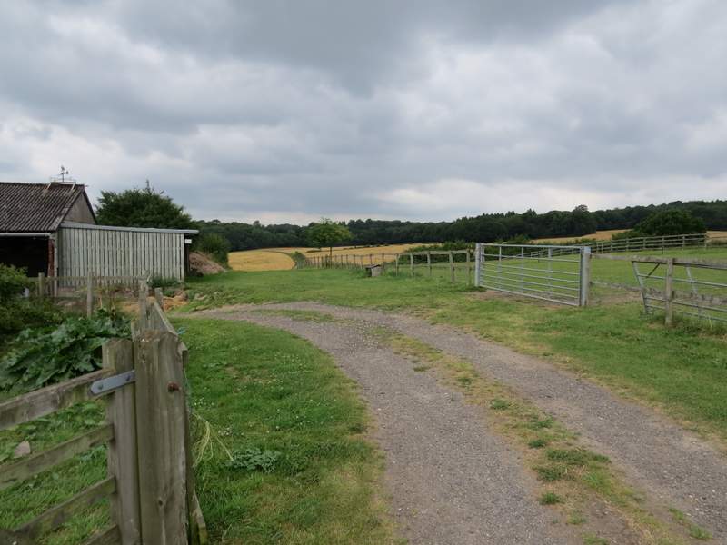
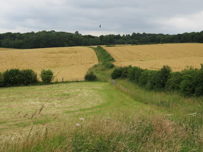
I turned right along the road for maybe a couple of hundred yards or so, then took a bridleway on the left that started along a drive. A footpath soon forked off left, but I stayed on the bridleway which a little further on turned off right from the drive. The bridleway now followed a farm track a short way uphill and then slightly left. Beyond some farm buildings the bridleway continued between a fence and a hedgerow on my right, and stayed with the hedgerow as it then formed the boundary between two corn fields. At the end of the hedge the undulating bridleway continued along a headland between the corn fields.
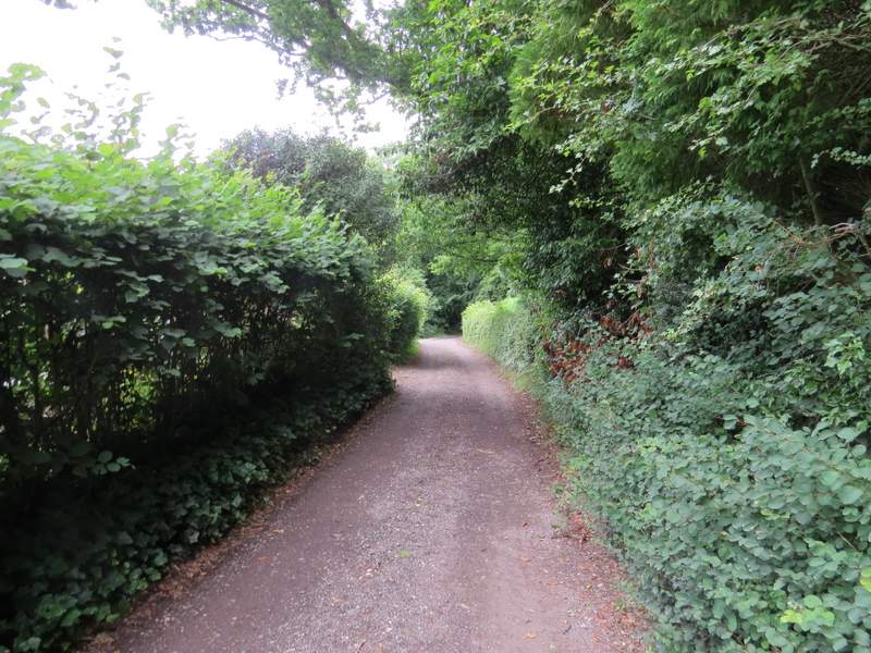
The start of the bridleway going north from Moor Common (actually it starts off going west)
The bridleway from Moor Common, after it went right
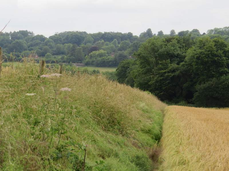
The bridleway from Moor Common
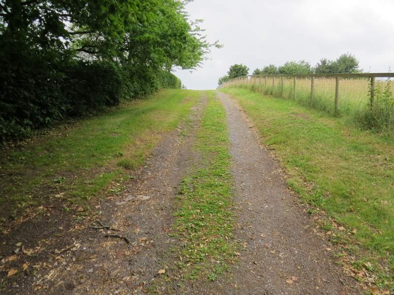
The bridleway from Moor Common
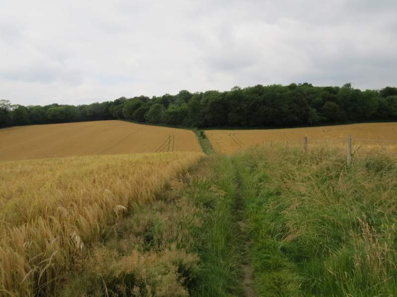
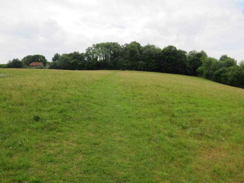
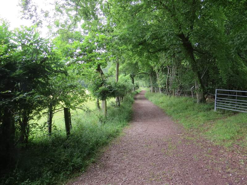
The bridleway from Moor Common (I turned left in the small valley ahead)
When I came to a path junction near the bottom of a slight dip, I turned left (now back on a path I'd walked before). This path dropped gradually downhill, continuing past a wood when the corn field on my right ended. The path then cut through the corn field on my left to reach a minor road. Across this another path led uphill through an empty paddock to reach Moussells Wood. On entering the wood I turned right, only for the path to immediately turn left and continue through the wood for about half a mile (I went straight on at two path crossroads, the first of which the OS map shows as two separate junctions about a hundred yards apart!).
The footpath after I turned left
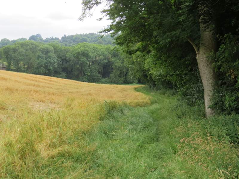
The footpath after I turned left
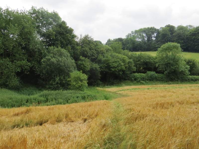
The footpath after I turned left, approaching the minor road
The path to Moussells Wood
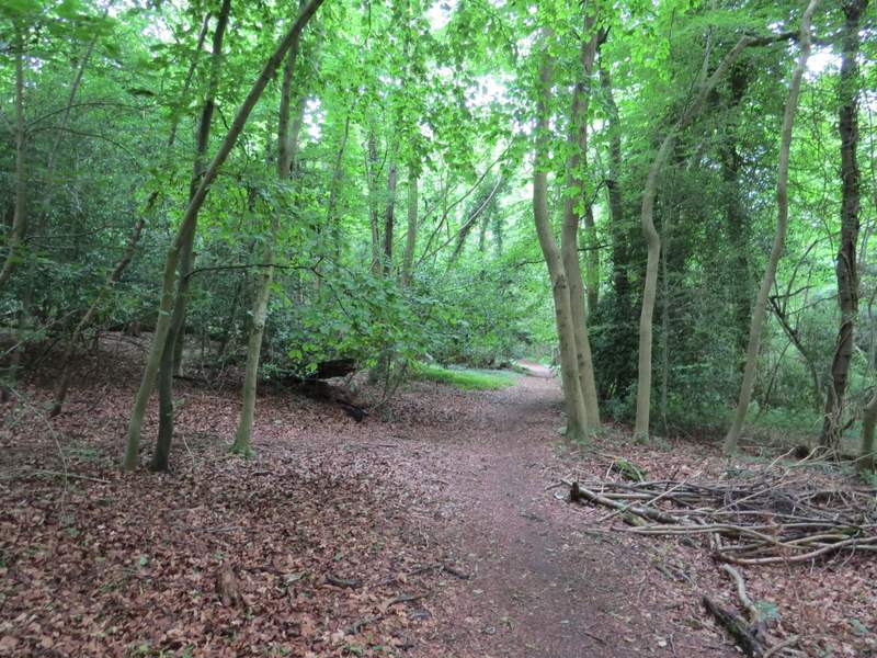
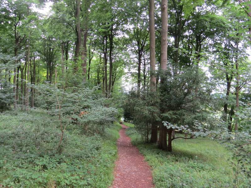
The path through Moussells Wood
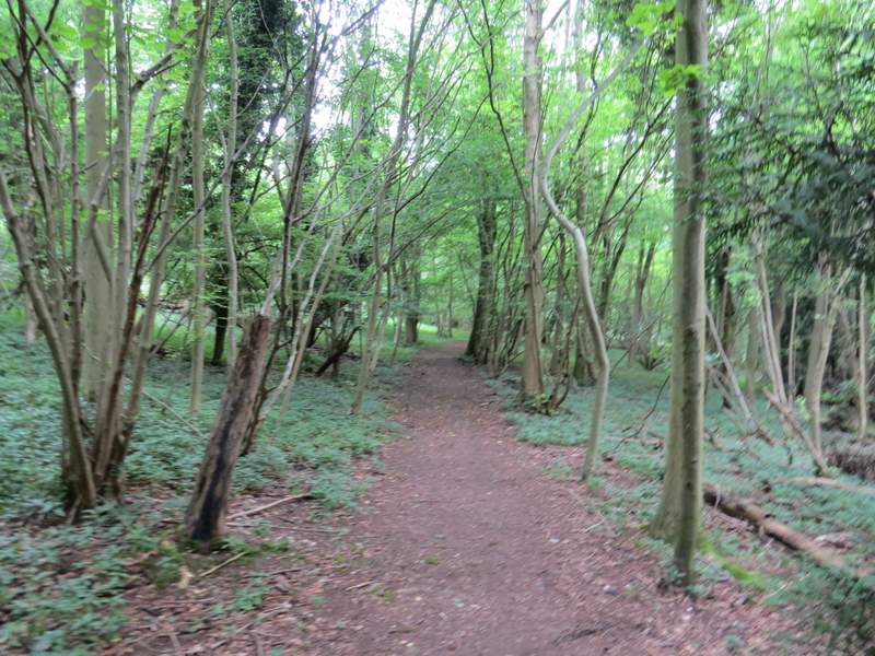
The path through Moussells Wood
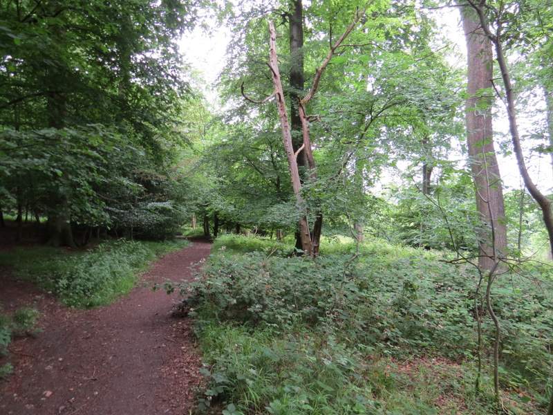
The path through Moussells Wood
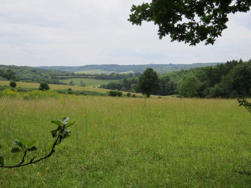
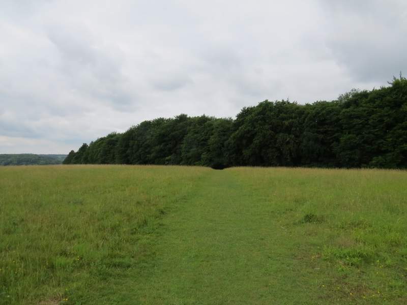
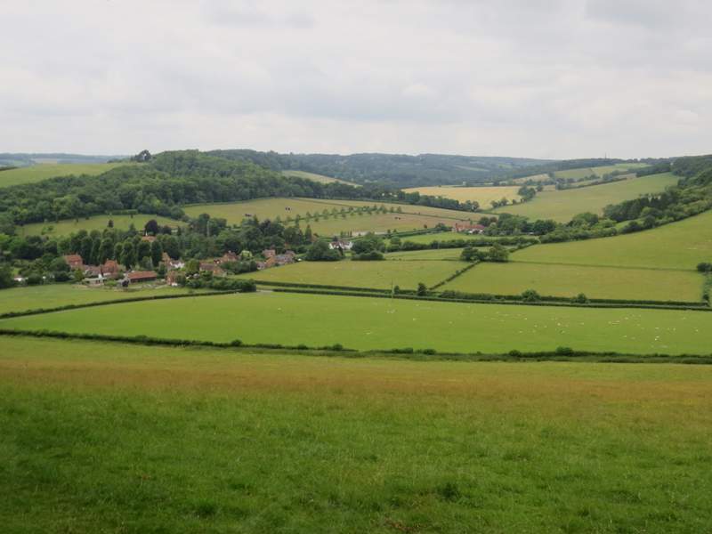
Eventually the path turned left and came to a junction at the edge of the wood, where I turned right along a track, now with Moussells Wood on my right. After a hundred yards or so, I had the end of Adam's Wood on my left. I then came to a gateway, where I left both woods behind me as I crossed a large meadow to reach another wood, Fingest Wood. The path dropped slightly downhill through this wood, and on the far side I went over Fieldfare's Style, erected in honour of a journalist and naturalist. There are great views over the area around Fingest from here, and I stopped on the nearby seat to enjoy the views as I ate my packed lunch (rather late, it was now about 1.45pm).
The path to Adam's Wood, after I turned right
View left from the path to Adam's Wood
The path continuing from Adam's Wood to Fingest Wood
The path continuing through Fingest Wood
The view from the edge of Fingest Wood (Cobstone Mill is on top of the hill on the left)
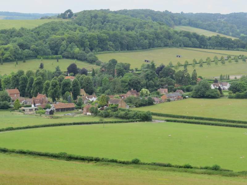
A zoomed in shot of Fingest