Pete's Walks- Maidensgrove Common and Moor Common (page 5 of 6)
If you are considering walking this route yourself, please see my disclaimer. You may also like to see these notes about the maps and GPX files.
Lunch over, I continued along the path as it slowly curved right as it dropped downhill, following the edge of the wood on my left through a large sheep pasture. At the bottom of the slope I followed a hedge on my left through an empty pasture to reach a road on the edge of Fingest. I turned left and walked through the village, passing the Chequers pub on my left and the impressive Norman church on my right. Just before a junction where the road turned left, I took a footpath on the right. This ran gently uphill for some distance between garden fences, before I turned left at a path junction and went a short way just inside a wood sloping up to my right. I then crossed a lane (going uphill from Fingest to Cobstone Mill and on to Ibstone) and continued along a footpath starting on the other side. This ran between bushes and fences for some distance, before gradually descending across a large meadow to reach the edge of Turville (the meadow was full of wildflowers, and I noticed several more spikes of Dark Mullein.
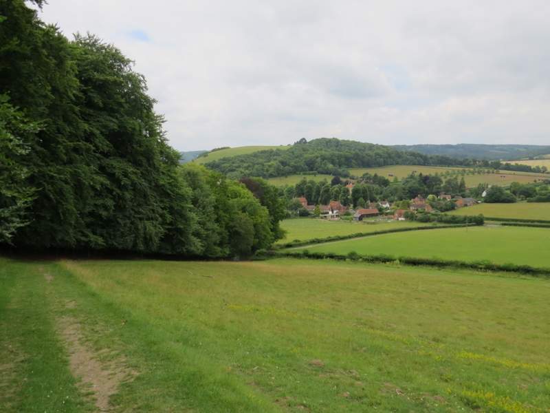
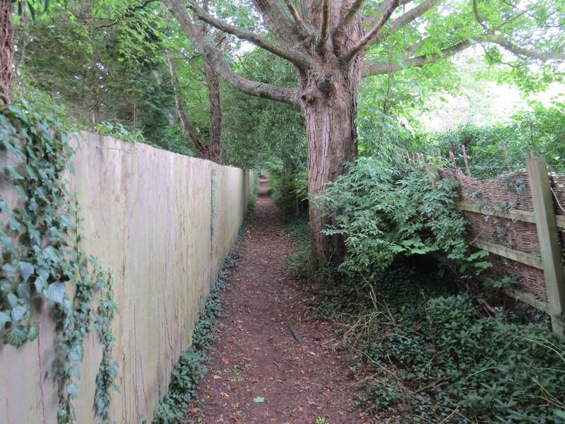
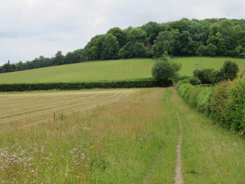
The path continuing down to Fingest
The path continuing down to Fingest
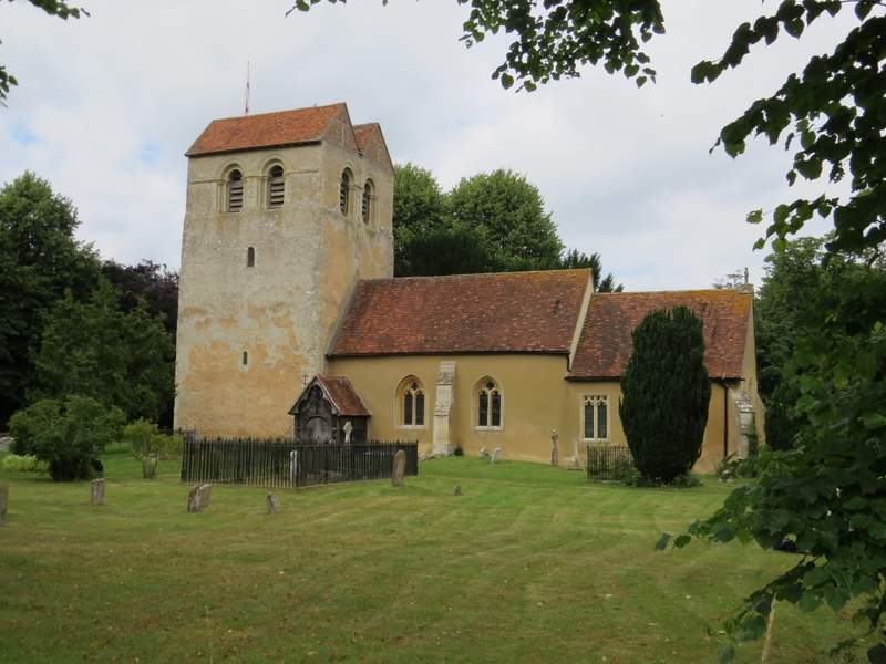
Fingest church
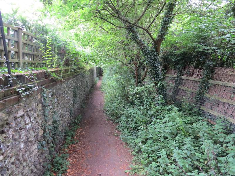
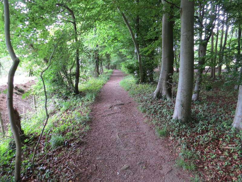
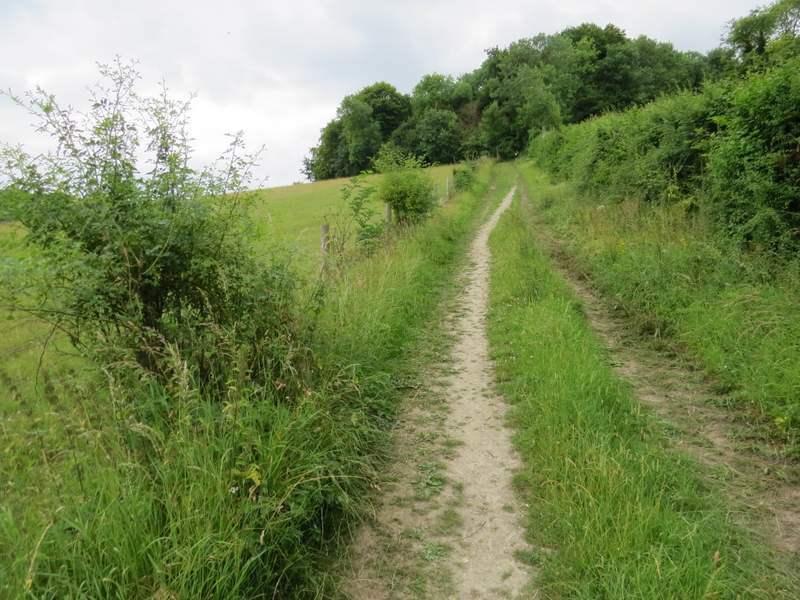
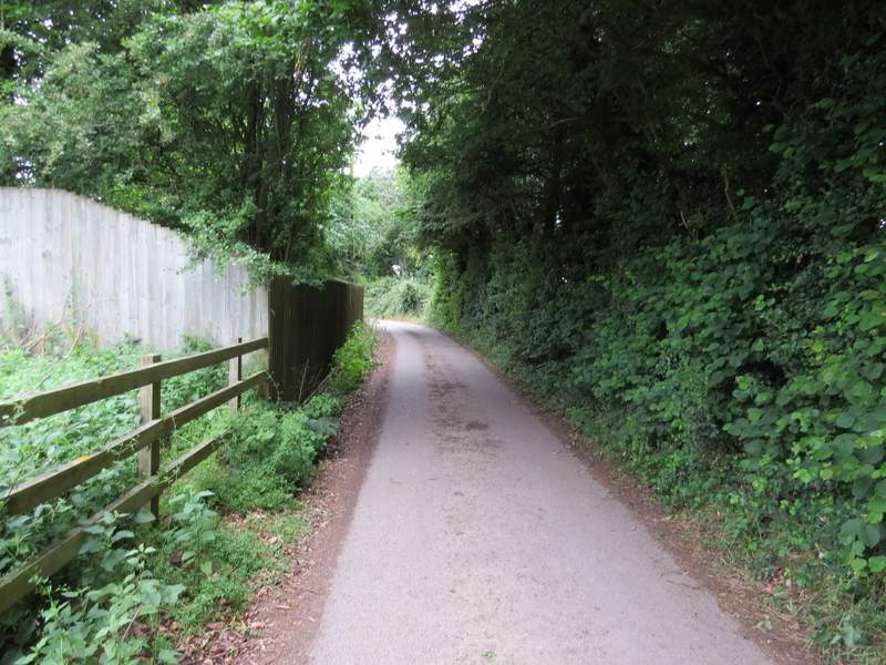
The footpath from Fingest
The footpath from Fingest
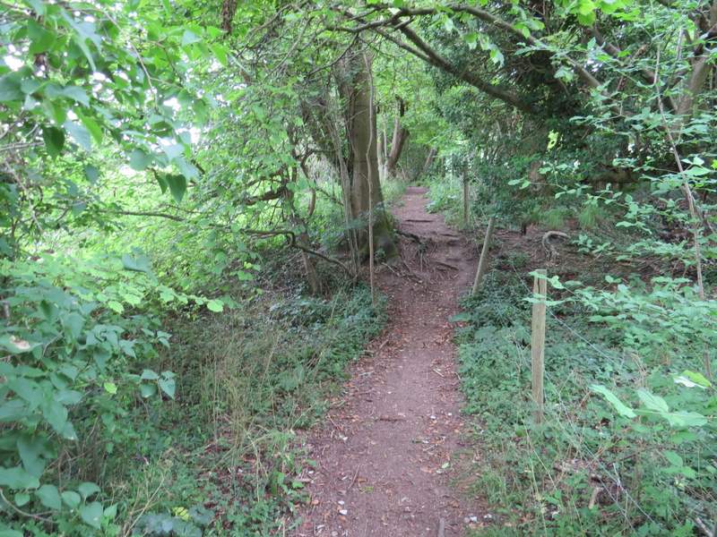
The footpath from Fingest, approaching the lane crossing
The footpath after crossing the lane, heading to Turville
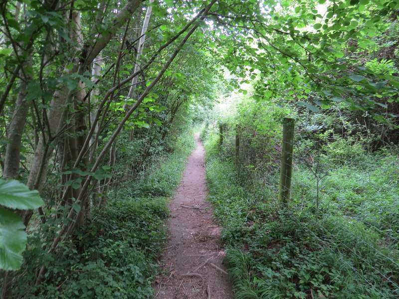
The footpath after crossing the lane, heading to Turville
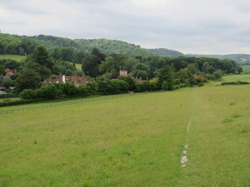
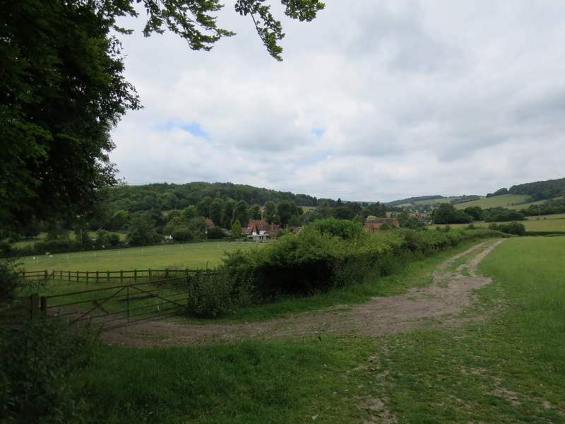
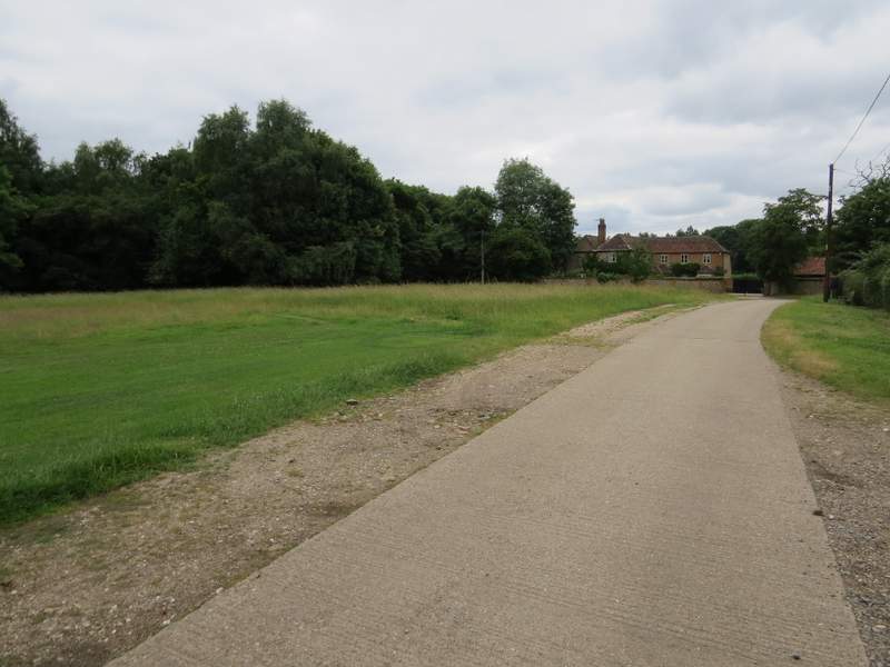
Approaching Turville
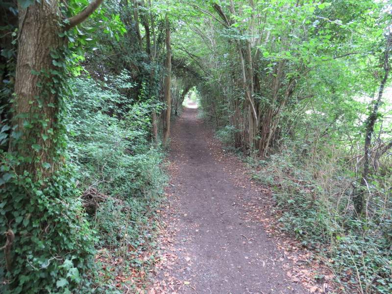
I turned left after the meadow to enter the centre of Turville, where I crossed the main village street and went more or less straight on along a street that soon brought me to the village school. A bridleway continued from the end of the street, which first ran through a 'green tunnel' of overhanging trees. It then continued for several hundred yards alongside a hedgerow on my right, with Dolesden Lane (which I'd followed briefly earlier on the walk) across the large field on my left. I saw a lot more Dark Mullein along here, as well as some Chicory.
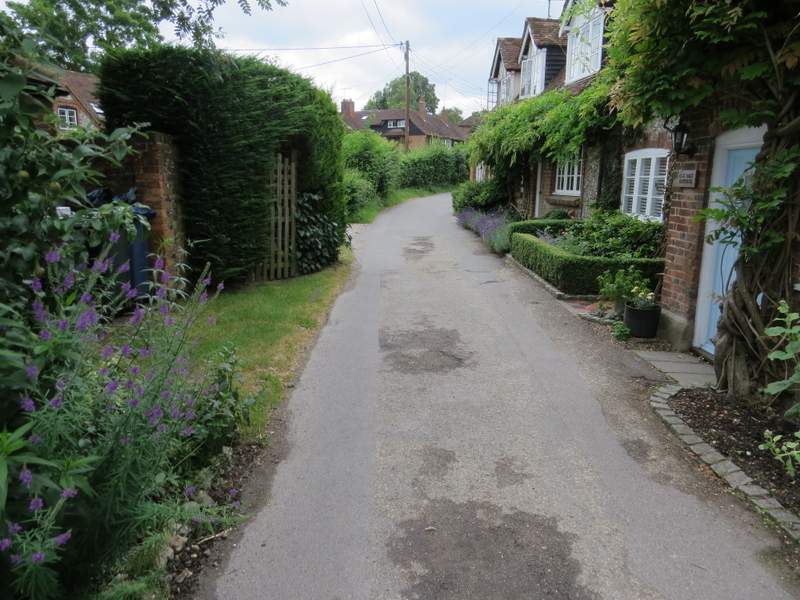
The lane I took through Turville
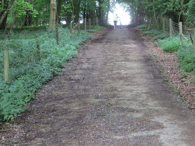
Near the start of the bridleway from Turville to Southend
The bridleway from Turville to Southend (the short stretch of Dolesden Lane that I walked earlier is beside Poynatt's Wood on the left)
The bridleway from Turville to Southend, just before it crosses Dolesden Lane
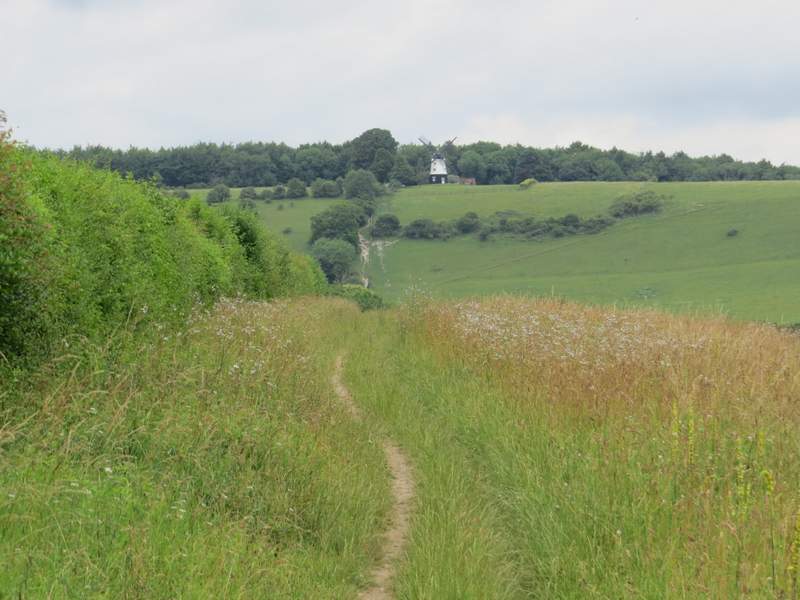
Looking back towards Cobstone Mill
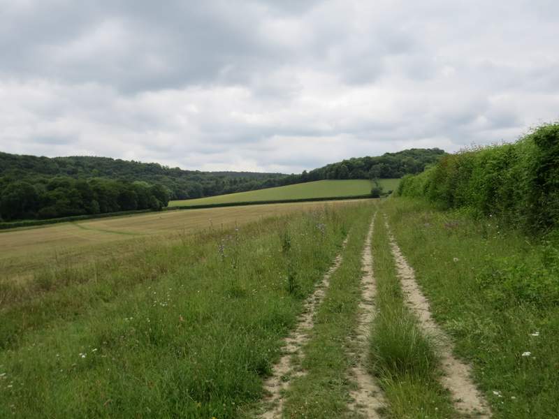
Eventually I crossed Dolesden Lane (which had turned sharply right) and continued along the bridleway as it now rose quite steeply up a track, and then just as steeply through a small wood. The gradient then eased as the bridleway continued between the wooden fences of some paddocks to reach Southend Farm. I then followed the farm drive for about a third of a mile to reach Southend (I kept left at a fork just before entering the hamlet).
The bridleway from Turville to Southend, after crossing Dolesden Lane
The bridleway from Turville to Southend (I had a nice chat with the lady with the bike, mainly about conservation issues in and around Skirmett where she lives)
The drive from Southend Farm
Southend (it's at the south end of Turville parish)