Pete's Walks- Maidensgrove Common and Moor Common (page 6 of 6)
If you are considering walking this route yourself, please see my disclaimer. You may also like to see these notes about the maps and GPX files.
I turned left when I reached a T-junction, then after a couple of hundred yards turned right along a footpath that started down a forestry track, with a couple of cottages on the corner and then a field to my right. Beyond the field there were woods either side of me, the path roughly following the boundary between Balham's Wood, on my right, and Kildridge Wood. The path dropped steadily downhill, after a while moving slightly left from the track and passing through a small area of rhododendrons. I soon came to the tall gate that gives entry to the deer park around Stonor House, where I needed to remove my rucksack before squeezing through. As always the walk through the deer park was a real pleasure, with distant views opening up ahead towards Pishill as well as the views towards the historic house and its chapel.
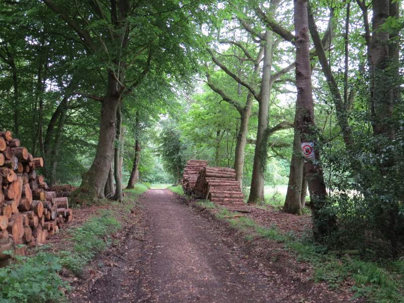
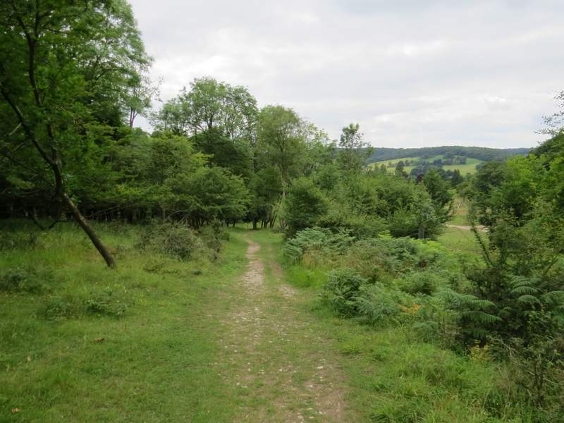
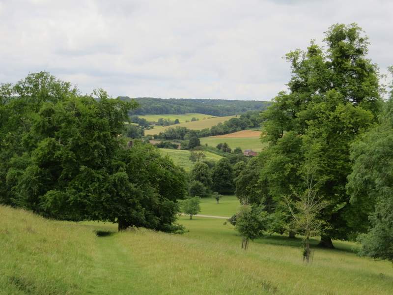
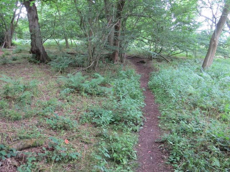
Near the start of the path from Southend to Stonor
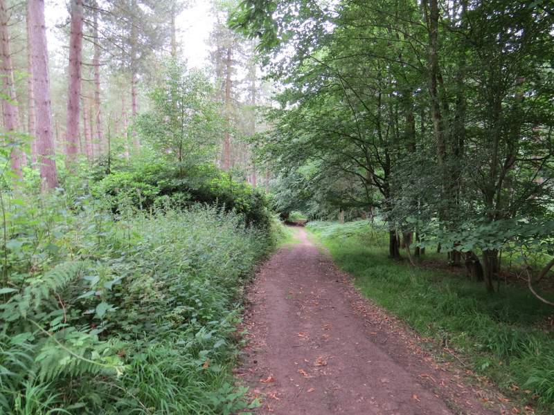
The path from Southend to Stonor
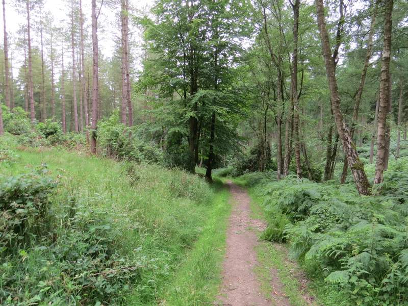
The path from Southend to Stonor
The path from Southend to Stonor
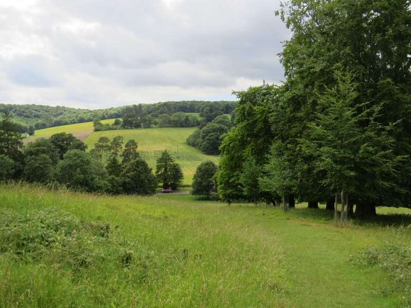
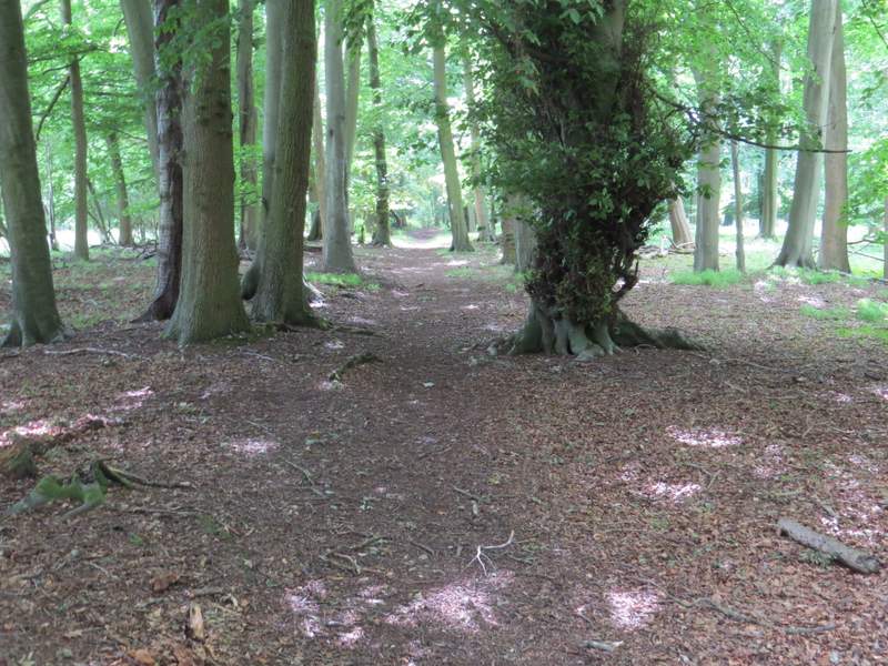
The path from Southend to Stonor, shortly after it enters the deer park around Stonor House
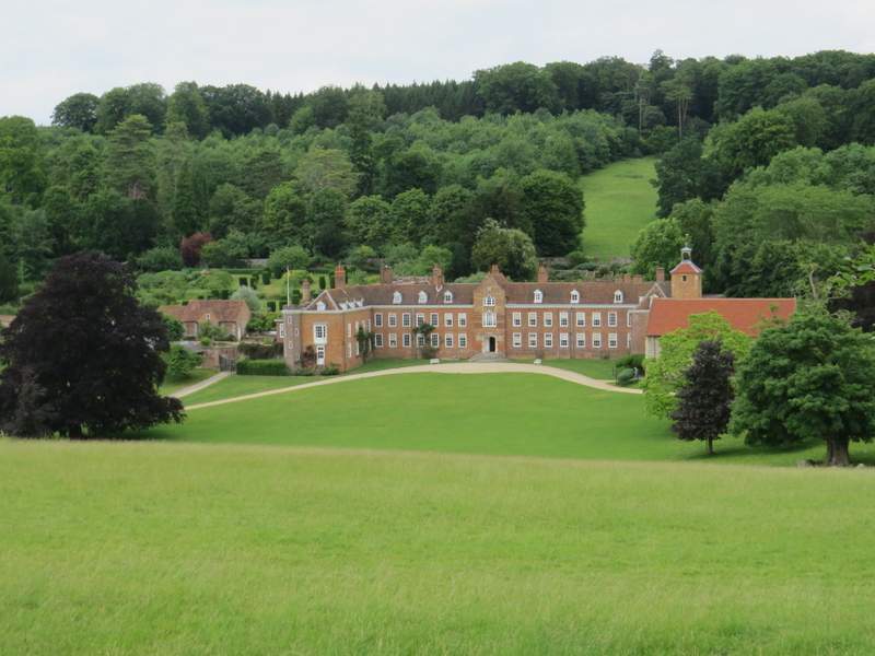
Stonor House
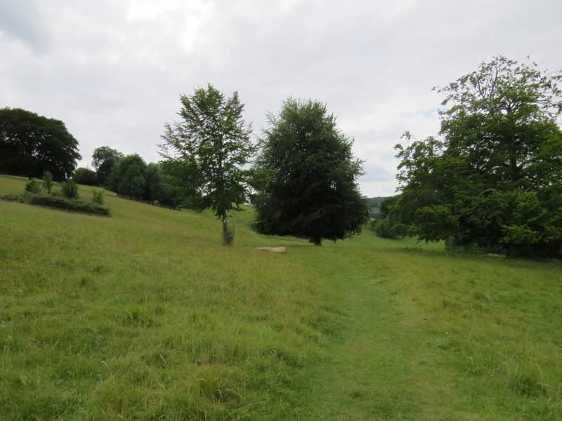
The path from Southend to Stonor, continuing through the deer park
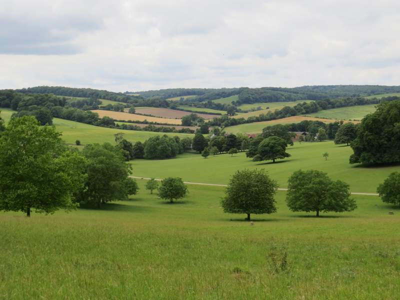
View towards Pishill from the deer park
View towards Pishill from the deer park
Approaching the road through Stonor
The path eventually brought me to the road through the village of Stonor, where I turned right. Shortly after passing a road junction where a lane went right, I left the village and very soon turned left on a footpath that ran between old hedgerows. This climbed steadily uphill to reach Pishillbury Wood (it seemed further to the wood than I remembered) and continued uphill through the wood for some way before levelling out. A little further on I came to a junction, where I turned left and then went right after maybe a hundred yards (the OS map shows this as a path crossroads). This path soon left the wood and continued on down a private drive in Maidensgrove, at the end of which I turned right along a lane and soon returned to my parked car (rather annoyingly, having been overcast and grey almost all the time I was walking, the skies brightened up considerably in the last few hundred yards!).
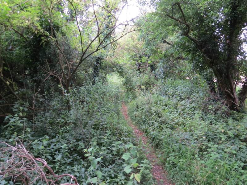
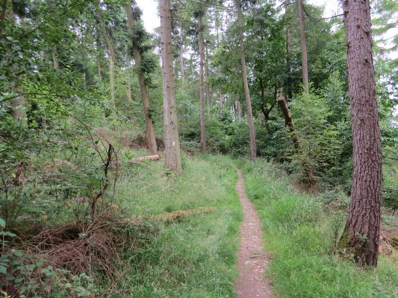
The path to Pishillbury Wood
The path to Pishillbury Wood
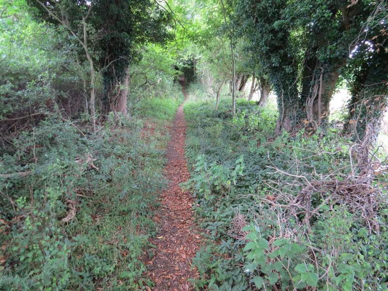
The path continuing through Pishillbury Wood
The path continuing through Pishillbury Wood
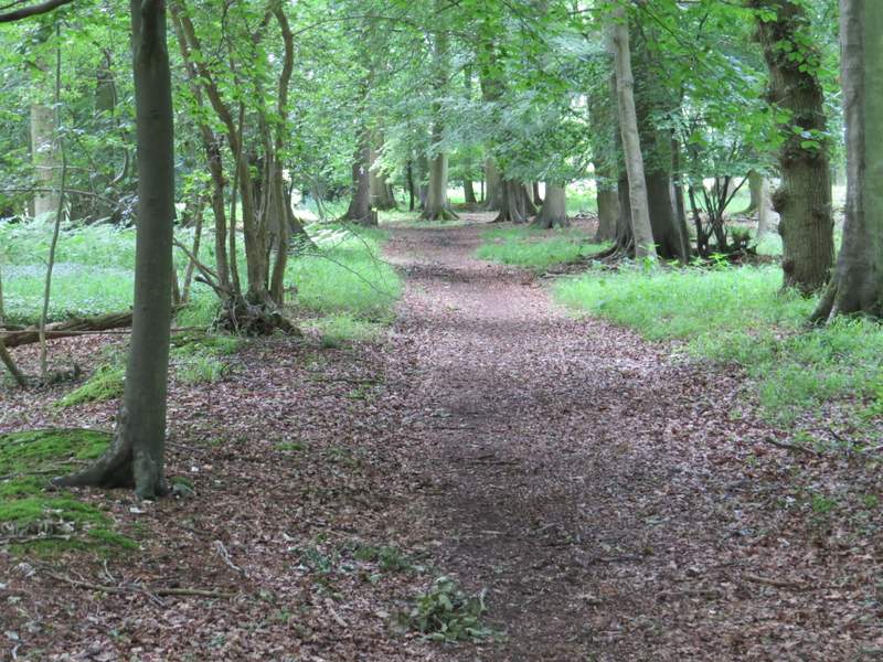
The path continuing through Pishillbury Wood
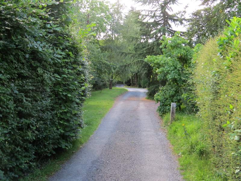
The private drive in Maidensgrove
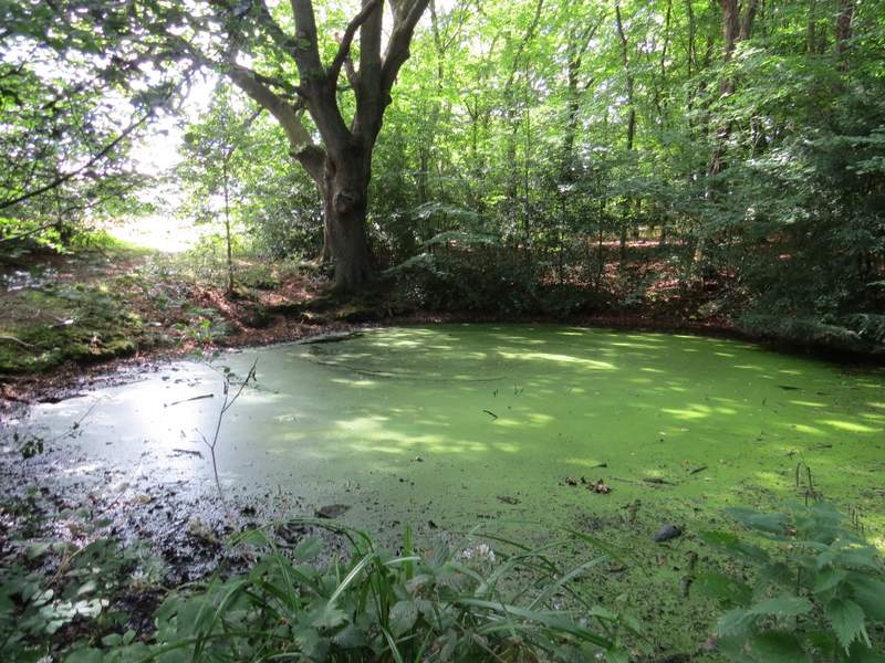
The pond on the edge of Maidensgrove Common
I enjoyed this walk, even though much of the route was on paths I'd walked numerous times before. It was fairly typical of the Chilterns with a good mix between field paths and sections through woodland, with Moorend Common and the deer park adding a bit of variety. There were some fine views, and Turville and Fingest are attractive villages that I always enjoy visiting. Of the three new sections I walked, the path to Skirmett was very good and the bridleway out of Moor Common was good. Even the section along the lane and then the bridleway to Kimble Wood was perfectly alright and I may use it again on other walks.