Pete's Walks- Little Missenden and Knotty Green (page 6 of 6)
If you are considering walking this route yourself, please see my disclaimer. You may also like to see these notes about the maps and GPX files.
I continued all the way along the lengthy High Street. Shortly after it left the town, the path (to the left of the road) went a little left and continued beside a main road for about 100 yards, before going down the embankment and passing under the road in the company of the river Misbourne. I then followed a drive through the gates of Shardeloes (a large white house, now apartments, that I would shortly see on top of the hillside above me) and almost immediately turned right along the drive of a cricket ground. When this came to an end by the clubhouse, I crossed the grass on my right to a pedestrian gate, and continued between fences (and under overhanging branches). After maybe a couple of hundred yards I went through another gate, entering the attractive park land surrounding Shardeloes. Initially there was an ornamental lake (formed by damming the Misbourne) beyond the hedge that I was now following on my right. After a while the path veered slightly away from the hedge to a gate in a fence. The path carried straight on across grass to join a clear track, where it continued along the attractive Misbourne Valley.
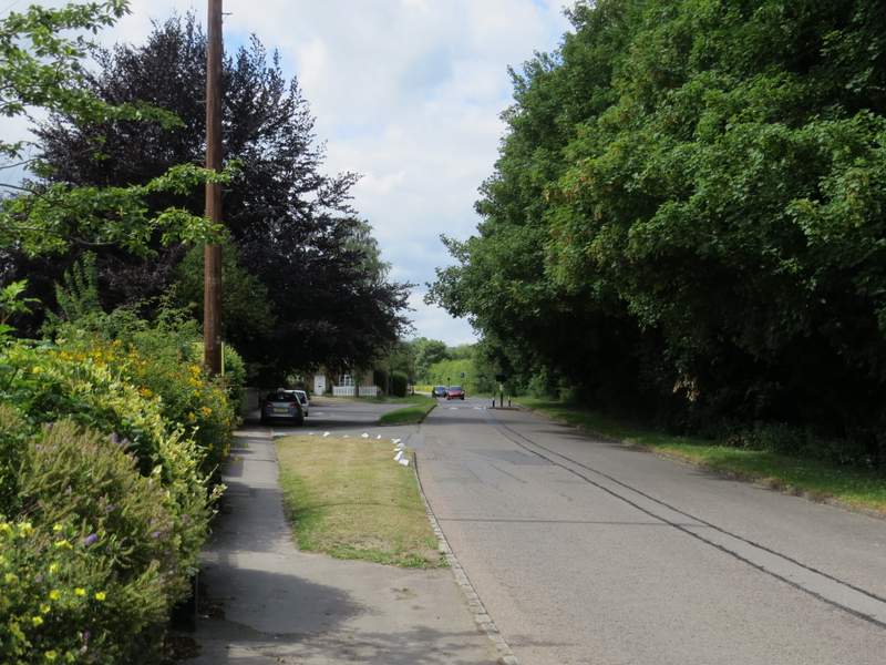
The road leaving Amersham Old Town
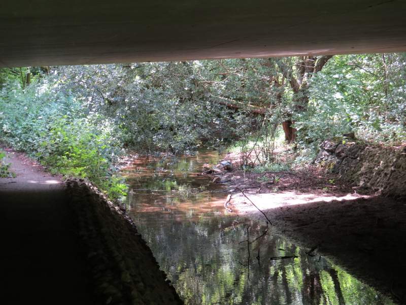
The path following the river Misbourne under the A413
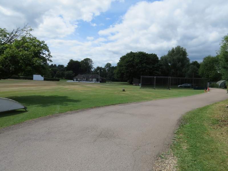
The cricket ground near Shardeloes
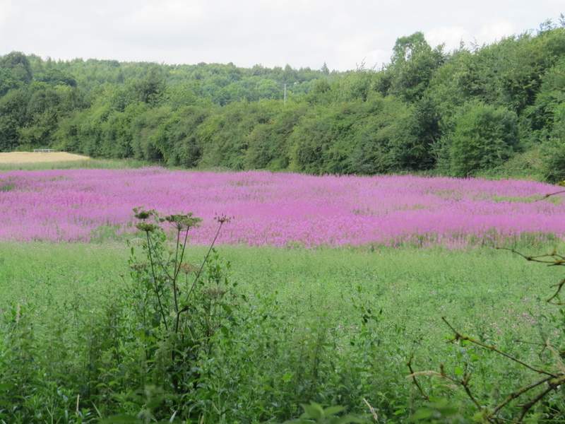
A large patch of Rosebay Willowherb
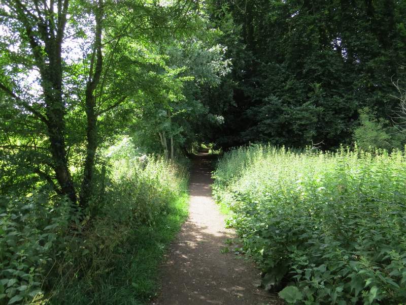
The path to Little Missenden, just after the cricket ground
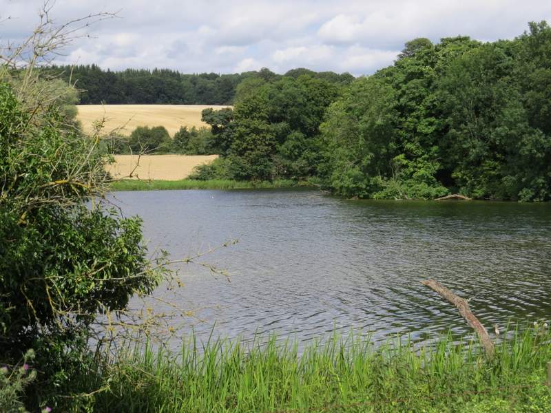
The ornamental lake below Shardeloes
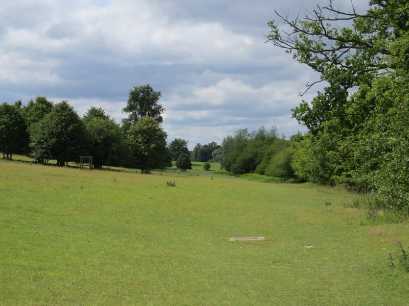
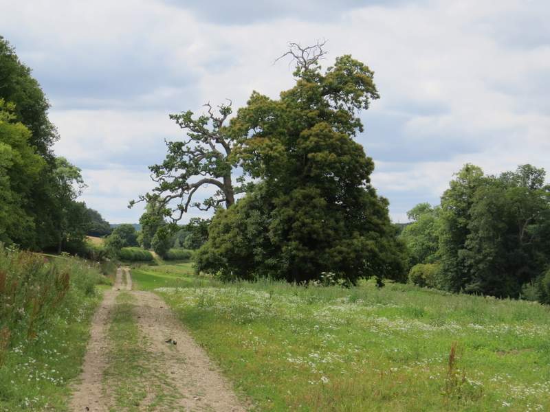
The path along the Misbourne Valley, continuing through the grounds of Shardeloes
The path along the Misbourne Valley, continuing through the grounds of Shardeloes
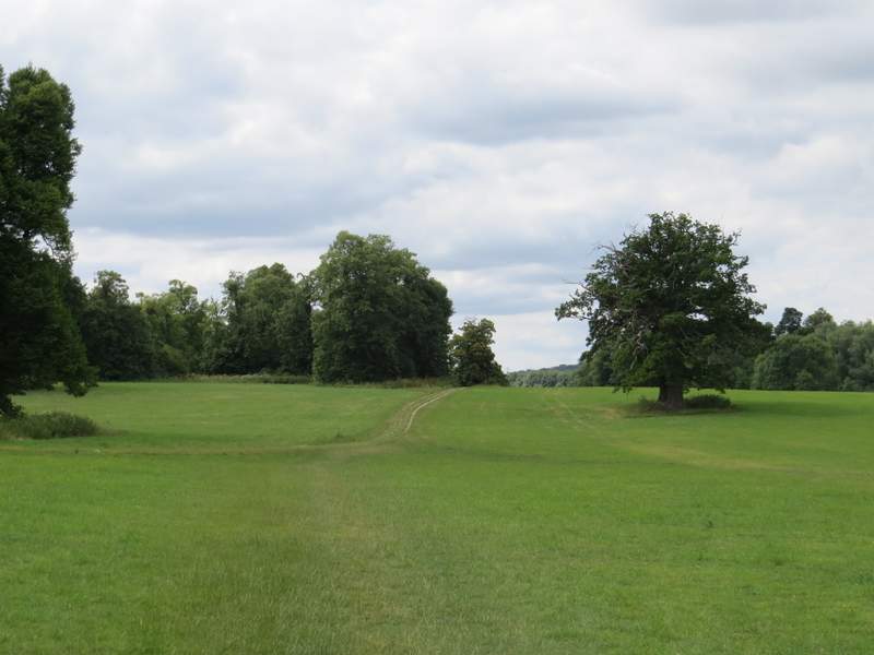
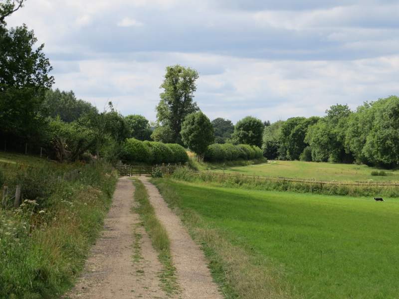
The path along the Misbourne Valley
After a few hundred yards I came to a gate, at a junction with another track (Mop End Lane). I just carried straight on along the valley, now with a hedge on my left and the river Misbourne a little way to my right, Eventually the track brought me to the road through Little Missenden, where I turned left. I had to follow the road for about a third of a mile to return to where I'd parked by the village church.
The path along the Misbourne Valley
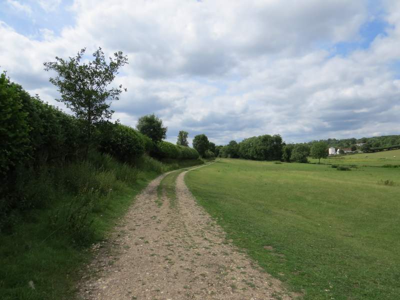
The path along the Misbourne Valley
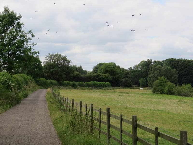
The path along the Misbourne Valley, approaching Little Missenden
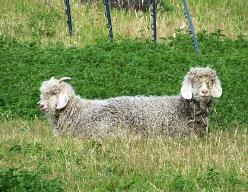
An incredibly rare sighting of the fabled Chiltern Push Me-Pull You!
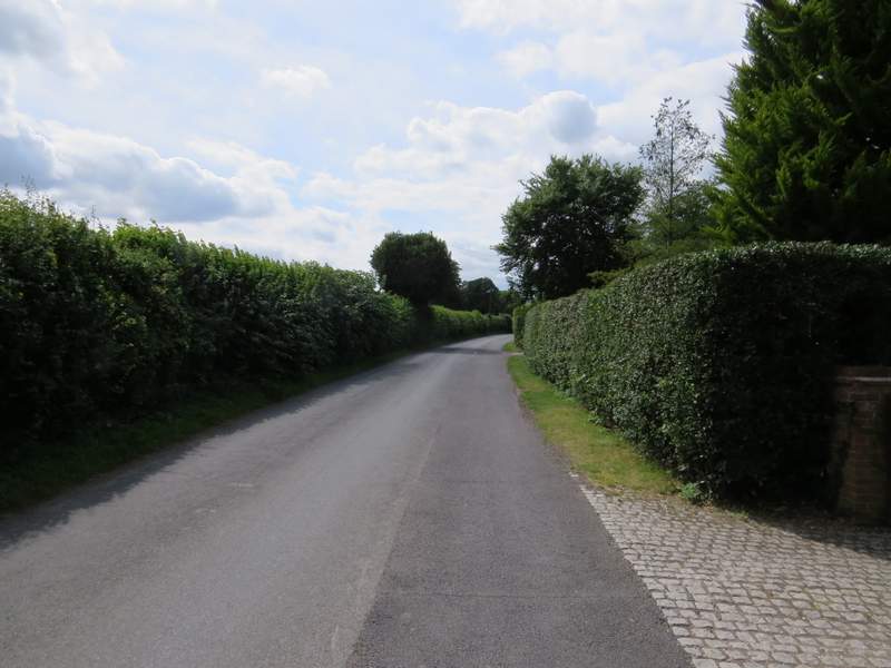
The lane through Little Missenden
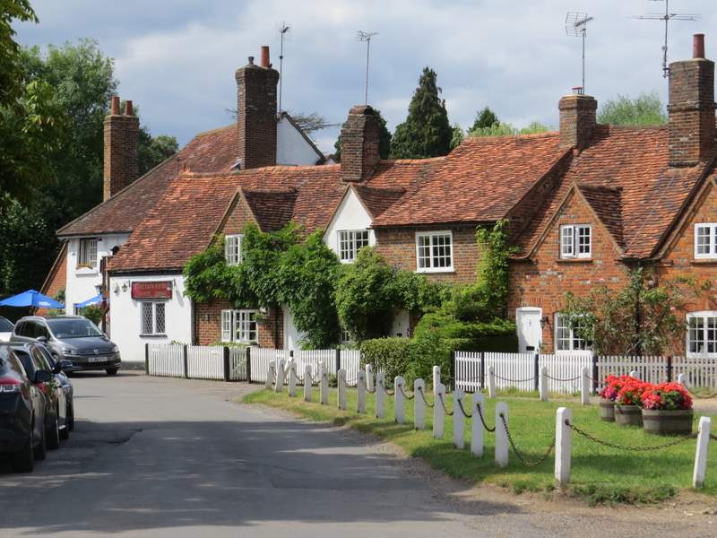
Little Missenden
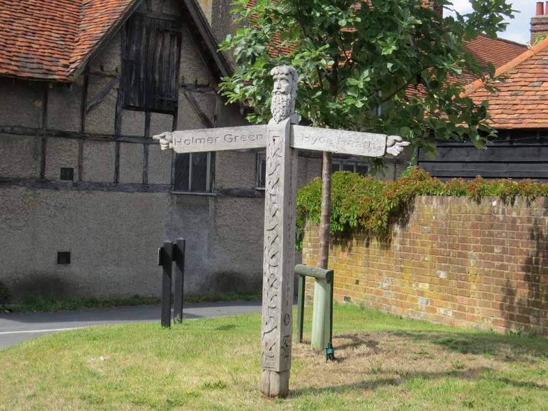
Unusual carved finger-post, Little Missenden
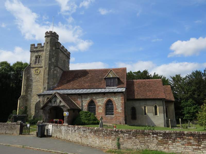
Little Missenden church - it dates back to the Saxons and has some Mediaeval wall paintings
The was a pleasant walk on a generally cloudy but warm day. It must be one of the easiest 15-mile routes I've walked as much of it was flat with only four or five uphill sections, none of which were really steep. Although it was all on paths I'd walked many times before, some of them I'd not walked for four or five years and the only section I felt a bit bored of walking again was the half-mile section from Penn Street to Winchmore Hill (I use it on several routes, and there is no viable alternative).