Pete's Walks- Little Missenden and Knotty Green (page 5 of 6)
If you are considering walking this route yourself, please see my disclaimer. You may also like to see these notes about the maps and GPX files.
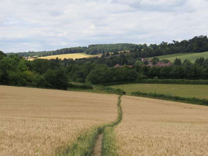
The path eventually brought me to Botterells Lane, across which another path continued across part of a meadow that had been mown. The path then continued straight on down a farm track, passing a house on the left and then gradually descending downhill, the slope steepening a bit after the track turned slightly left..
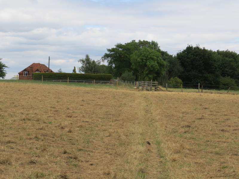
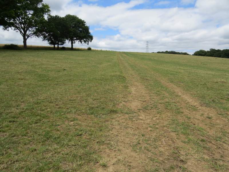
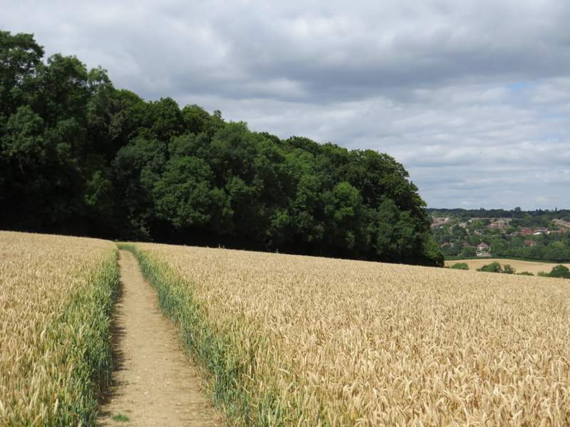
The path from Botterells Lane to Bottom House Farm Lane
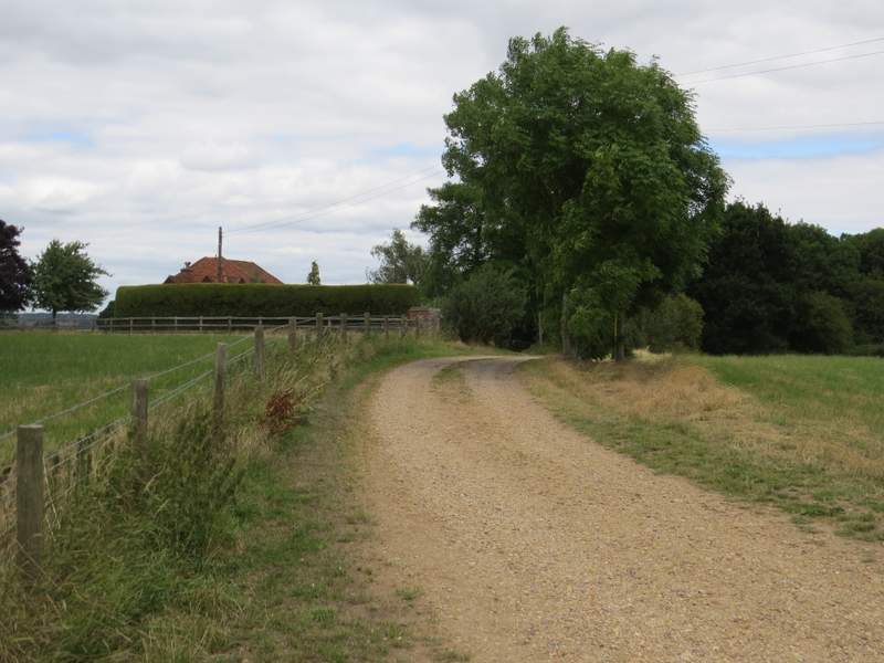
The path from Botterells Lane to Bottom House Farm Lane
The path from Botterells Lane to Bottom House Farm Lane
The path from Botterells Lane to Bottom House Farm Lane
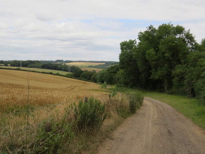
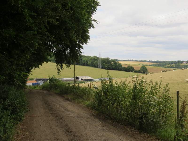
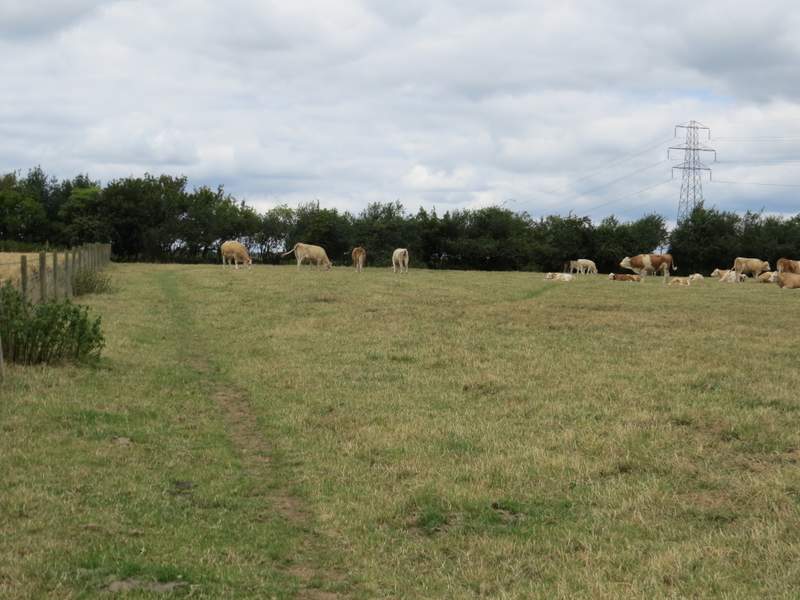
In the valley bottom I reached Upper Bottom House Farm, spread either side of Bottom House Farm Lane. I went a few yards right along the lane, then turned left through the farmyard, the path continuing uphill through a large pasture. At the top of the slope I turned slightly left along a fence - the path turns right in the next corner for a short distance to reach a gate in the hedge, I had to negotiate a number of cows here. The path then followed tractor tracks across the next field to reach a corner of Day's Wood, where it turned left. It followed the wood and then a hedge to reach a field corner, where it switched to the right of the hedgerow. When this hedge turned left, the path went straight on towards another hedge corner, from where it cut across the field to reach Rodger's Wood.
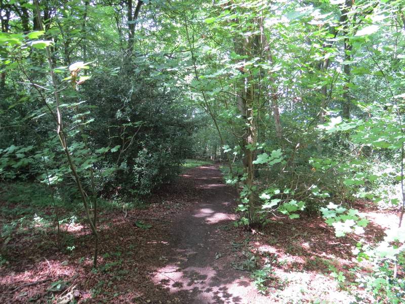
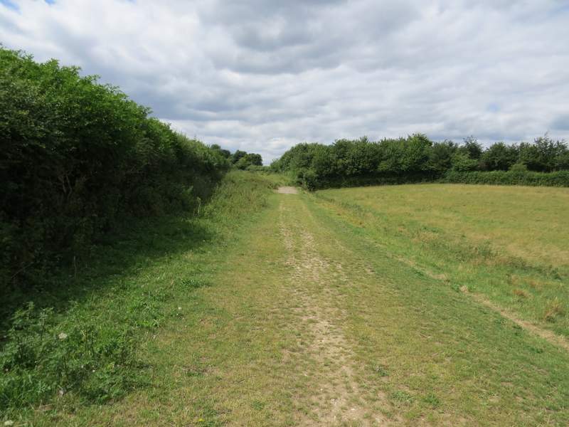
The start of the path from Bottom House Farm Lane to Amersham Old Town
The path from Bottom House Farm Lane to Amersham Old Town
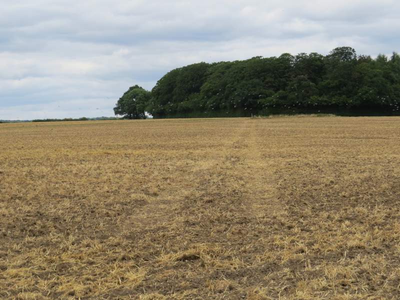
The path from Bottom House Farm Lane to Amersham Old Town, approaching Days Wood
The path from Bottom House Farm Lane to Amersham Old Town
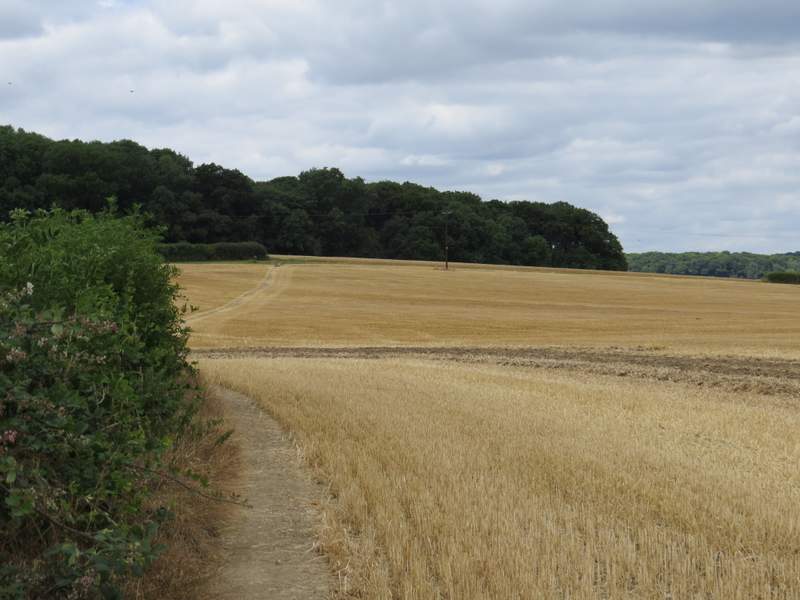
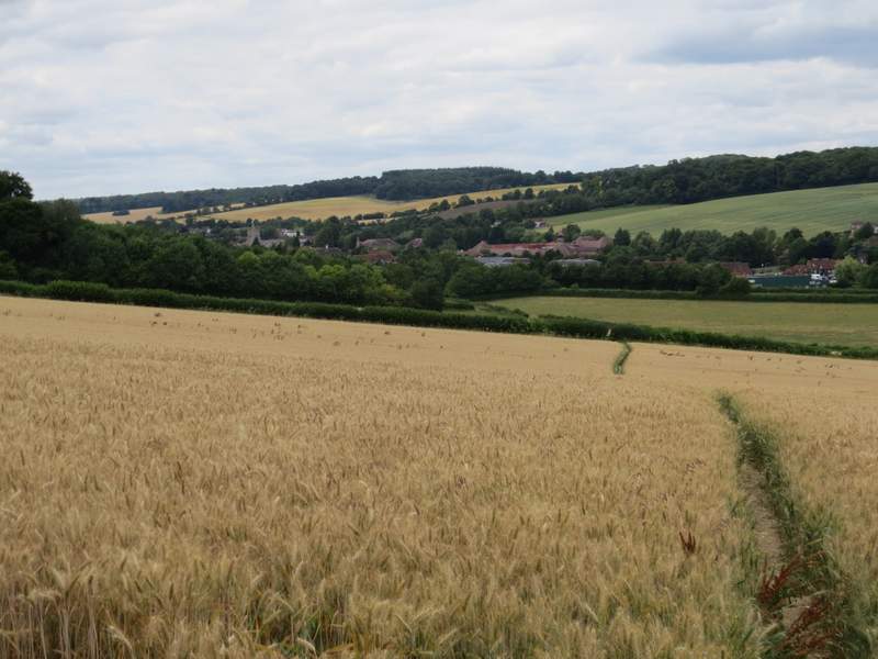
The path from Bottom House Farm Lane to Amersham Old Town, approaching Rodger's Wood
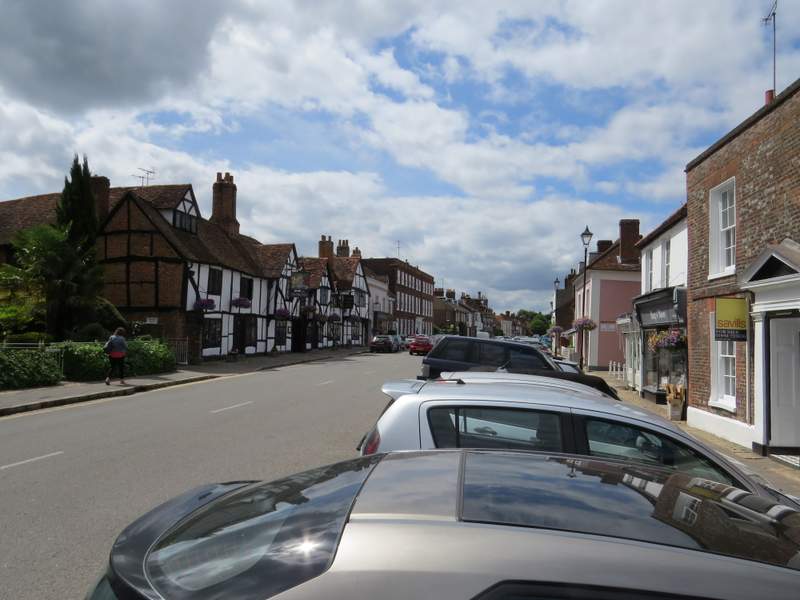
The path continued downhill through the wood, and continued on down through two large cornfields, with a nice view ahead over Old Amerahm. In the valley bottom I turned left at a path junction immediately after the second corn field, soon going under a road bridge and following a drive through a small meadow and past some cottages to reach the main road through Old Amersham. I crossed the road (to avoid a rather dangerous crossing a little to the left) and turned left along it, following the attractive High Street and passing the church and the Market Hall.
Rodger's Wood
The path continuing from Rodger's Wood towards Amersham Old Town
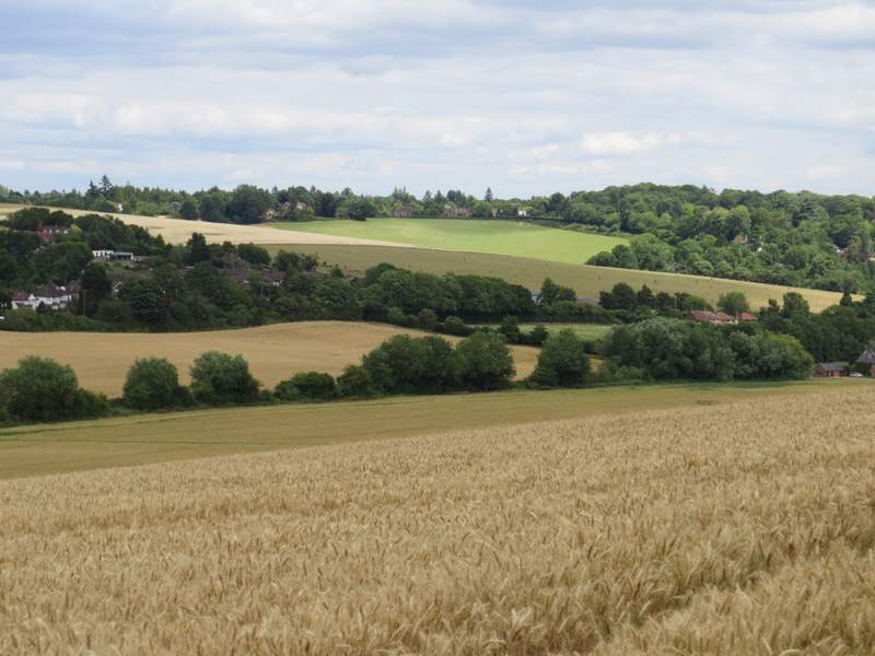
View across the Misbourne Valley
The path continuing from Rodger's Wood towards Amersham Old Town
The path into Amersham Old Town
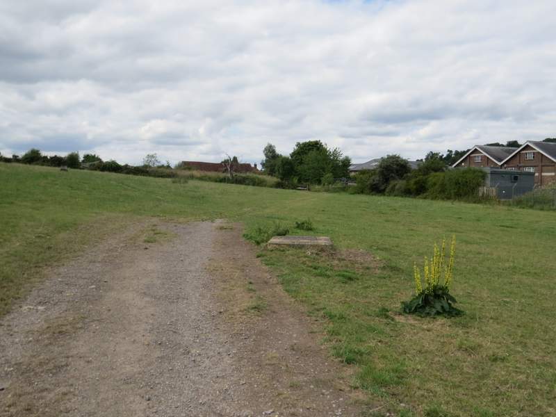
The path into Amersham Old Town (the yellow flower is Dark Mullein)
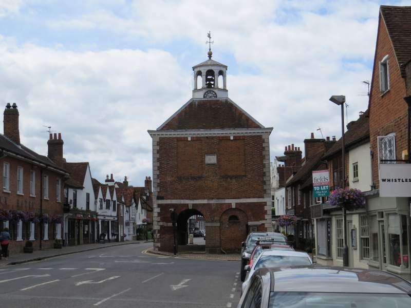
Amersham Old Town
Amersham Old Town