Pete's Walks- Lanes of Little Missenden (page 7 of 7)
If you are considering walking this route yourself, please see my disclaimer. You may also like to see these notes about the maps and GPX files.
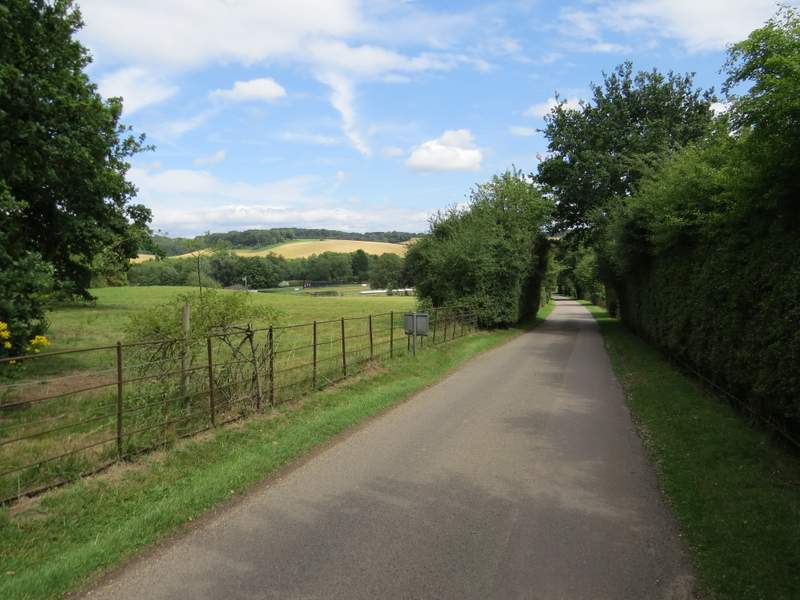
The path then bore slightly left along a broad grassy strip dotted with mature trees and some horse jumps, with corn fields either side. After a few hundred yards I reached a metal kissing-gate, beyond which I turned right along the drive from Shardeloes (a grand house somewhere to the left). I followed the drive downhill almost to the gates at its end, before turning left along a drive past a cricket ground (I was now repeating the end of the walk I did last week). When this ended near the clubhouse or pavilion, I crossed the grass on the right to a gate, and followed a path between fences and under overhanging trees.
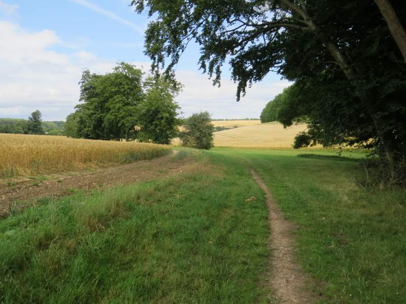
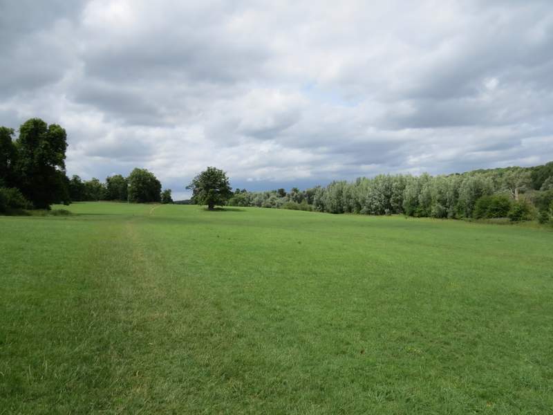
The path from Mop End to Old Amersham
The path from Mop End to Old Amersham
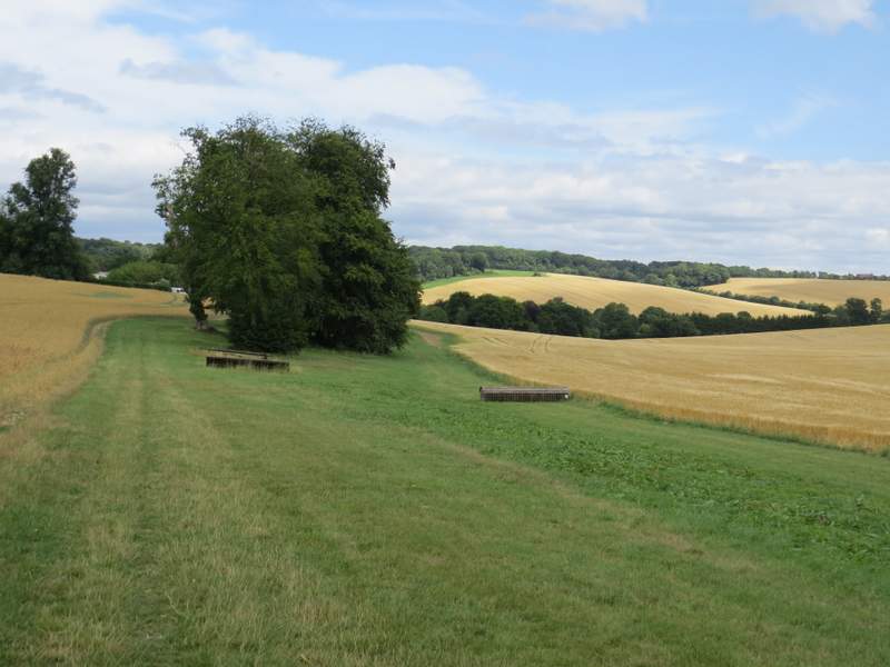
The path from Mop End to Old Amersham, now along the drive from Shardeloes
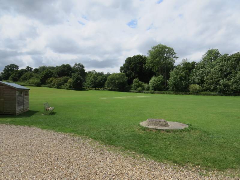
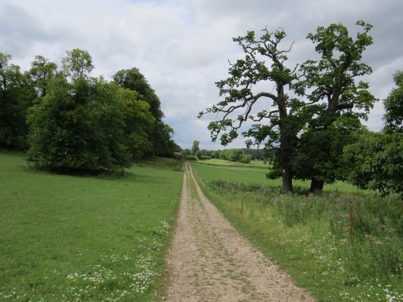
The path along the Misbourne Valley at the cricket ground
The path along the Misbourne Valley just after the cricket ground
After one or two hundred yards I went through another gate and continued along the path through the Misbourne Valley, now in the grounds of Shardeloes, which I could soon see on top of the hillside on my left. At first there was an ornamental lake over the hedge on my right. After a while the path went slightly left from the hedgerow to reach a gate in a crossing fence. The path then continued ahead to join an obvious track, which within a few hundred yards brought me back to the junction with Mop End Lane.
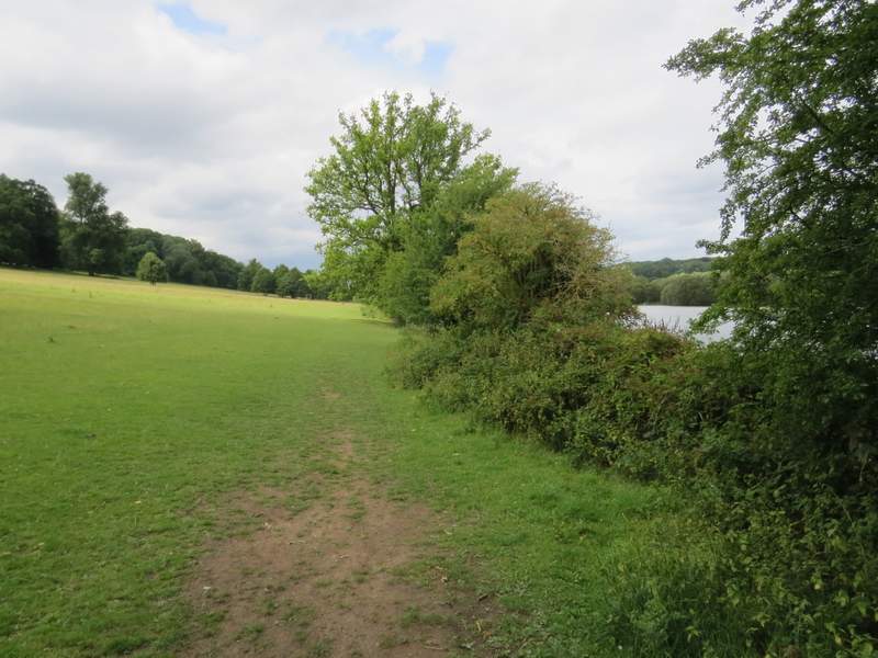
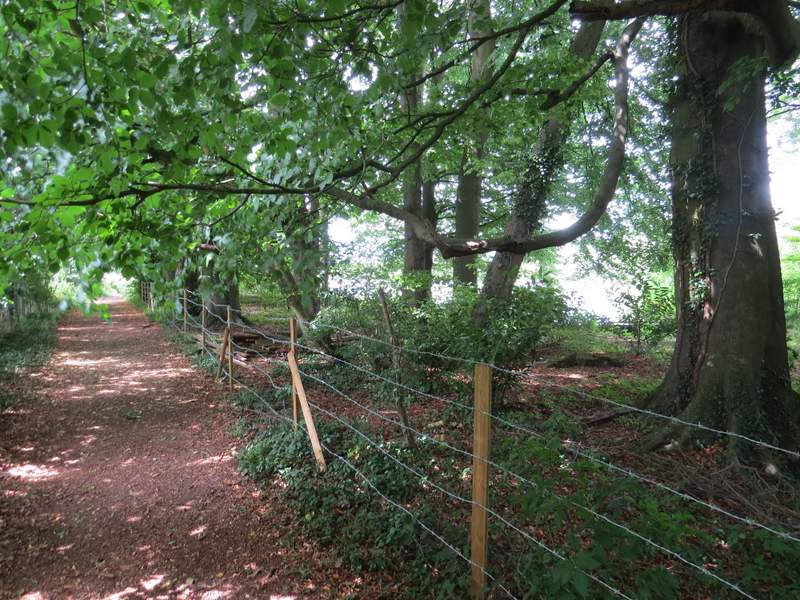
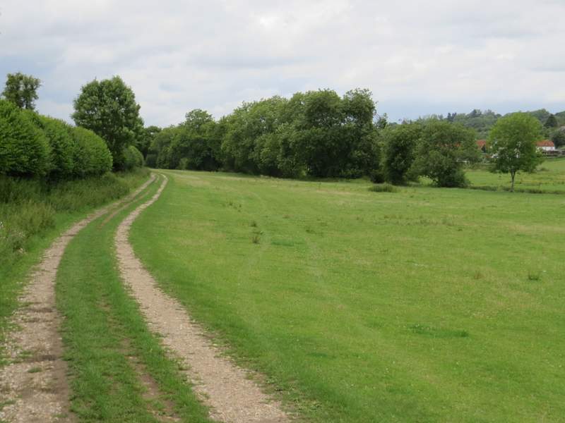
The path along the Misbourne Valley, passing the ornamental lake below Shardeloes
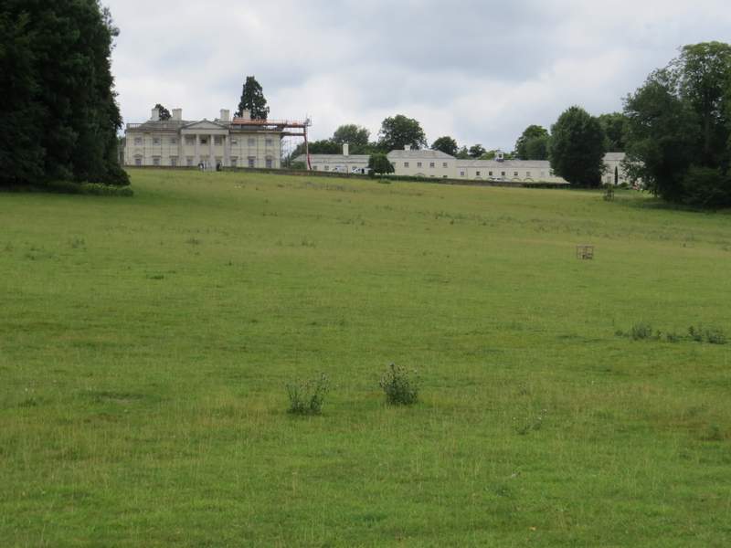
Shardeloes (the lyricist Sir Tim Rice was born there when it was used as a maternity home for evacuated women during World War II)
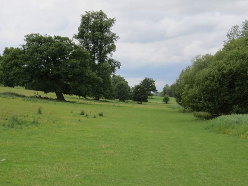
The path along the Misbourne Valley, continuing through the grounds of Shardeloes
The path along the Misbourne Valley, continuing through the grounds of Shardeloes
The path along the Misbourne Valley, approaching Mop End Lane
I continued straight on, retracing my steps from earlier on the walk as I carried on along the path through the Misbourne Valley. When I reached the road through Little Missenden, I turned left and followed it through the village for about a third of a mile to return to where I'd parked my car.
The path along the Misbourne Valley, heading towards Little Missenden (I was now retracing my steps from earlier in the walk)
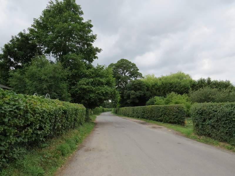
The road through Little Missenden
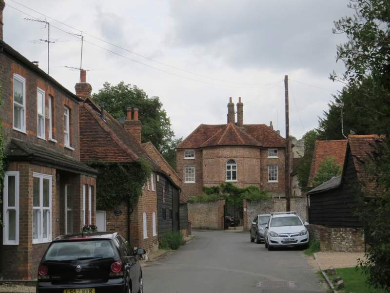
The road through Little Missenden, approaching the Manor House (the church is just beyond it)
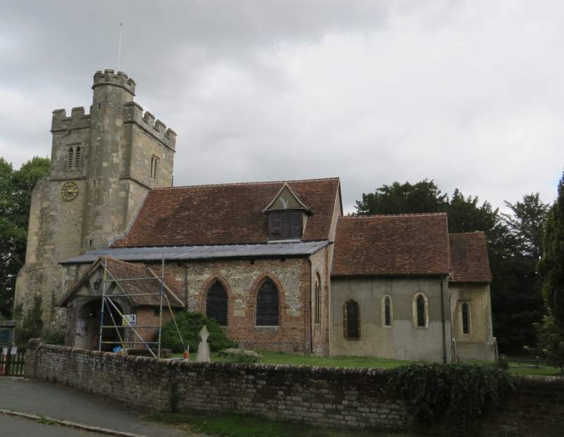
Little Missenden church
This was an odd walk with a very convoluted route, but I enjoyed it nevertheless. It's a route I've been considering doing for some years, but especially since earlier this year when I realised Beamonds End Lane was closed to traffic. The only disappointment was that I'd forgotten how limited the views were along large parts of the 'lanes', because of the tall and thick hedges either side. In fact the part of the walk I enjoyed the most wasn't any of the 'lanes', it was the footpath from Mop End to Shardeloes - once this left the wood, there were fine views ahead all the way and I'd certainly like to walk the path in this direction again.