Pete's Walks- Lanes of Little Missenden (page 6 of 7)
If you are considering walking this route yourself, please see my disclaimer. You may also like to see these notes about the maps and GPX files.
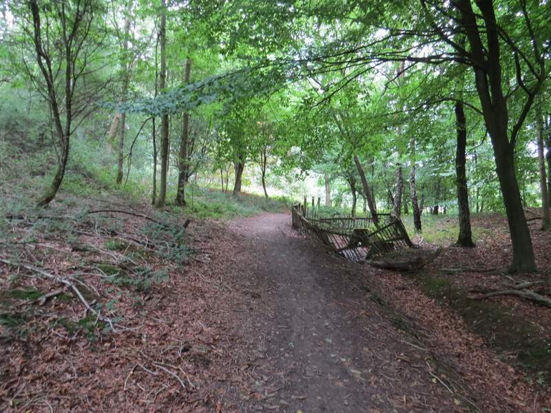
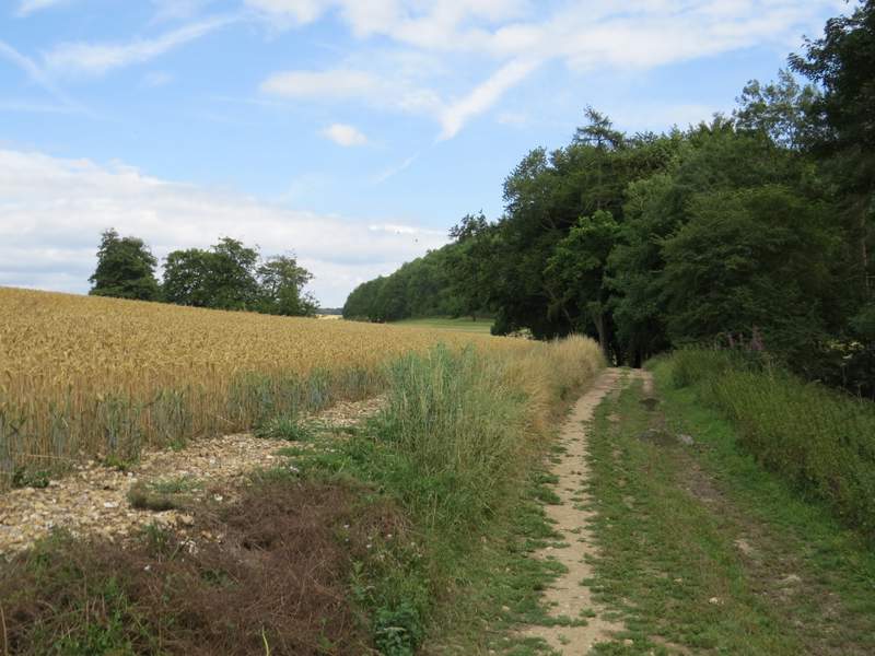
The path I took went through a wood, but initially close to a garden and then fields on my left - the first part of the wood is named The Rough Park according to the OS map and is an Open Access area. Further on, the path passed close to a large Electricity Substation in the trees to my right, the path then turning right (south east).
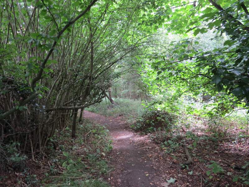
The start of the path from Mop End to Old Amersham
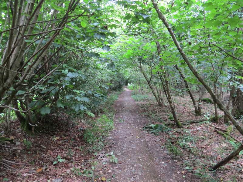
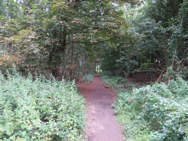
The path from Mop End to Old Amersham
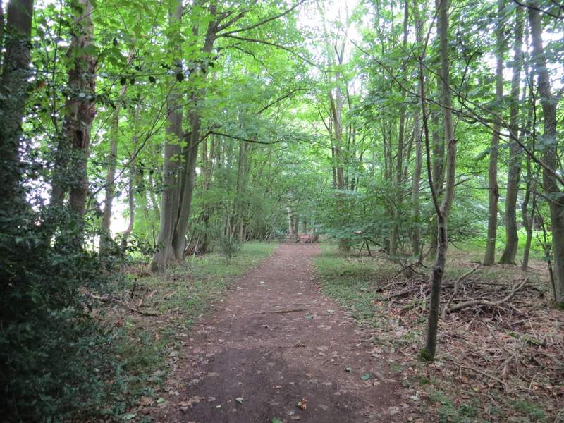
The path from Mop End to Old Amersham
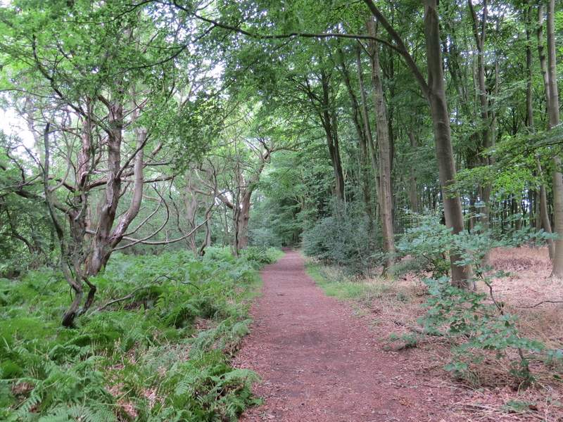
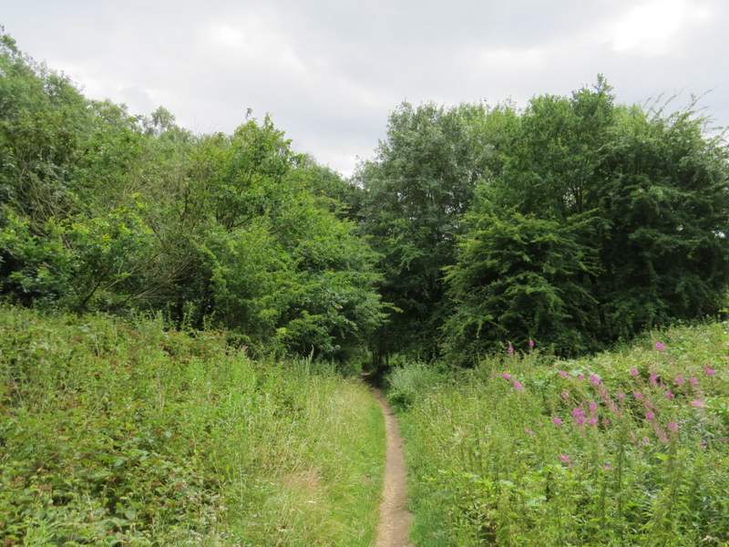
The path from Mop End to Old Amersham
The path from Mop End to Old Amersham
The path from Mop End to Old Amersham
The path from Mop End to Old Amersham
The path from Mop End to Old Amersham
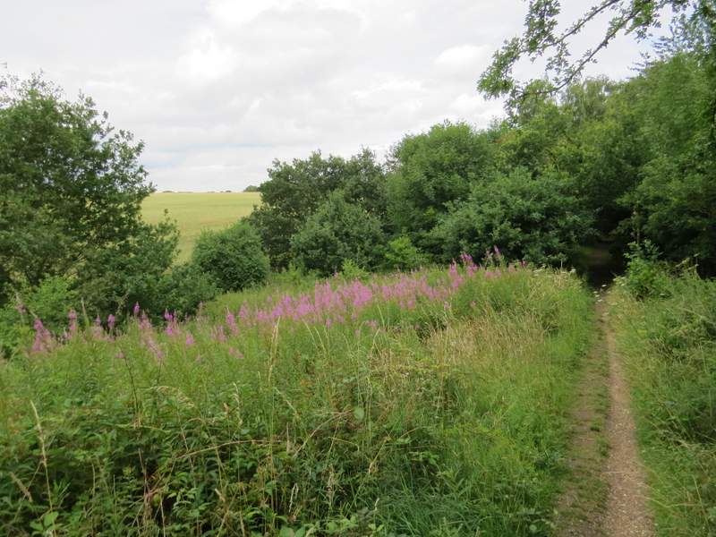
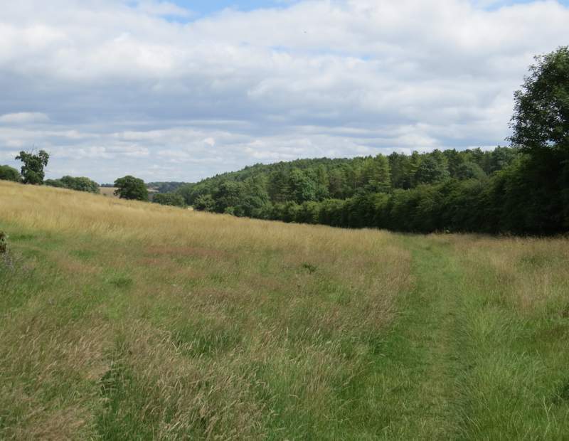
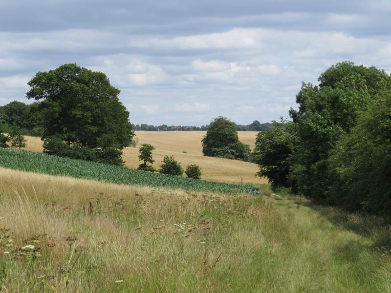
On leaving the wood, the path joined a hedgerow on the right, and very gently dropped downhill through a large meadow, sloping up to Summerville's Wood on my left. The path continued along the valley bottom, next passing a corn field on my left and soon joining a track with Wheatley Wood on my right.
The path from Mop End to Old Amersham
The path from Mop End to Old Amersham
The path from Mop End to Old Amersham