Pete's Walks- Lanes of Little Missenden (page 5 of 7)
If you are considering walking this route yourself, please see my disclaimer. You may also like to see these notes about the maps and GPX files.
I turned right along the road, but only for a hundred yards or so before turning right onto a footpath that follows the Misbourne Valley, starting along a roughly surfaced track (a sign said Kennel Farm). This third 'circular walk' isn't really circular, more 'lollipop' shaped, as the end of the walk retraces the first three-quarters of a mile of the route, so I'd be coming back along this path later on - this would be no hardship, as it's always pleasant to walk this part of the Misbourne Valley. After half a mile or so I turned right where Mope End Lane crossed the path. This started uphill straight away, and I thought this was the steepest part of today's walk. It didn't last long, and as I reached the edge of a wood on the right I had a good excuse to stop, as there was another good view looking back to the Misbourne Valley.
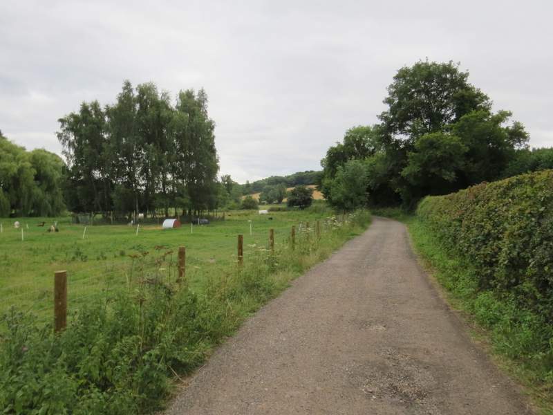
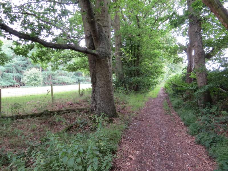
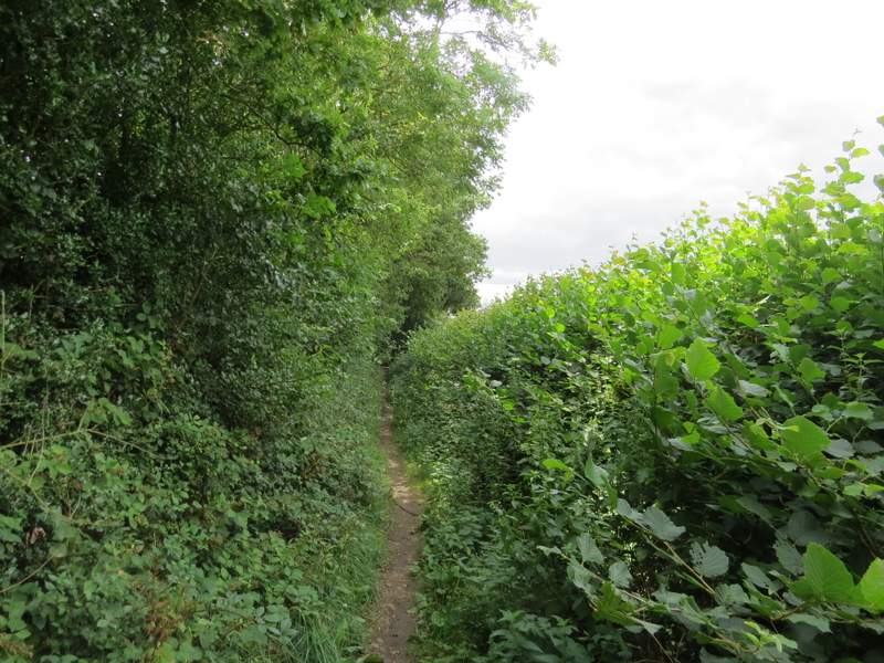
The path along the Misbourne Valley, heading east from Little Missenden
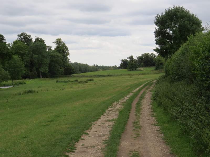
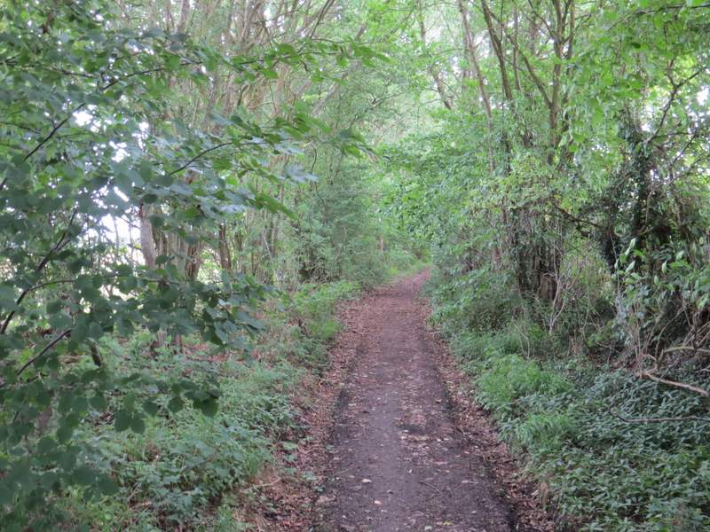
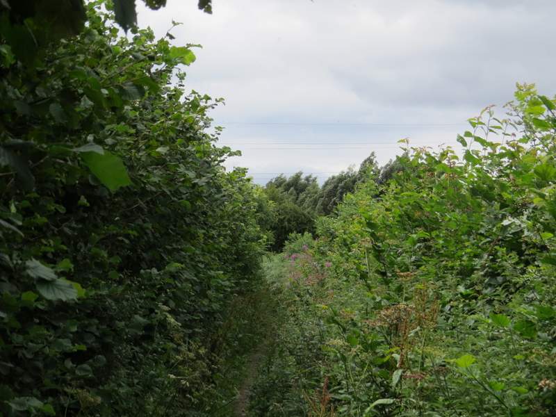
The path along the Misbourne Valley, heading east from Little Missenden, approaching Mop End Lane
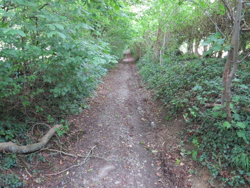
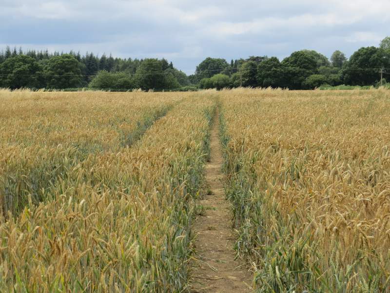
Mop End Lane
Mop End Lane
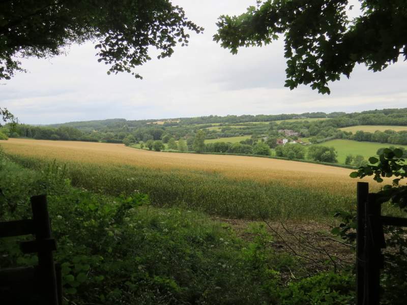
Looking right, back to the Misbourne Valley, from Mop End Lane
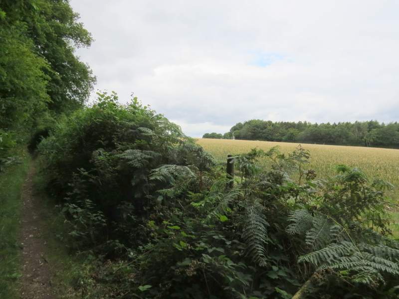
Beyond the wood, the path levelled out and ran for about half a mile between hedges either side, with only occasional views. Eventually it reached the small hamlet of Mop End, where it became a proper lane. A few yards along the lane I took a path on the left, but before I went down it I looked across the fields on the right, back to where I'd joined Toby's Lane earlier.
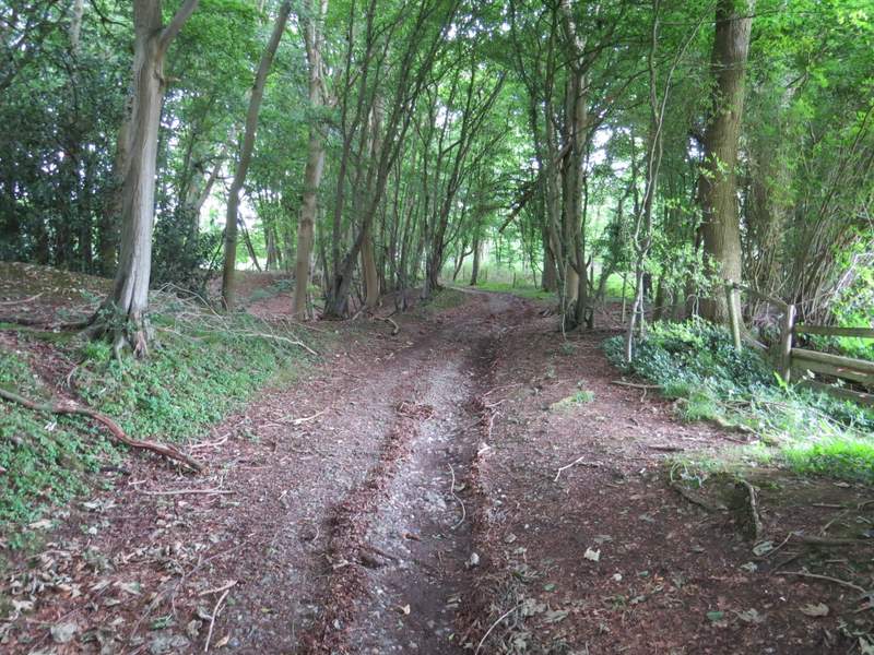
Mop End Lane
Mop End Lane
Mop End Lane
Mop End Lane
Mop End Lane
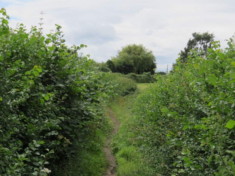
Mop End Lane, approaching Mop End
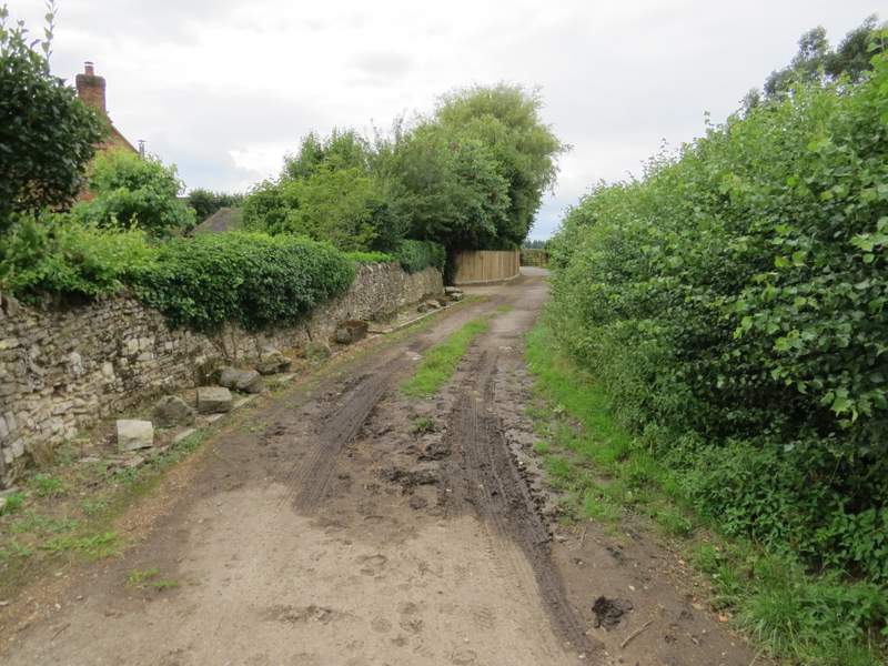
Mop End Lane, at Mop End
Another path I didn't walk today, looking right from Mop End towards Toby's Lane