Pete's Walks- Chesham and Chenies (page 1 of 3)
If you are considering walking this route yourself, please see my disclaimer. You may also like to see these notes about the maps and GPX files.
I did this walk of about 6.5 miles on Saturday, 2nd September 2017. I parked in the station car park in Chesham (grid reference SP961015), from where I took a short street going downhill and then turned left along the pedestrianised High Street to reach the Clock Tower in the Market Square, which is the start and end point of the Chiltern Heritage Trail.
It was now about 10.30am (I think the clock on the tower is a little fast!) as I continued in the same direction through the Market Square to a pedestrian crossing. Once over the main road through Chesham. I continued down Germain Street, then turned left immediately before a bridge onto a footpath along Duck Alley. Here I should have had the river Chess on my right, but this section was dry today. A short way along the alley I came to the Meades Water Gardens, where I continued along a path round to the left, then continued alongside the dry riverbed a little further to return to the main road (by a mosaic of Friedrichsdorf, with which Chesham is twinned).
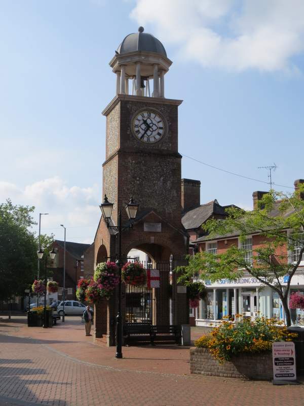
The clock tower in Chesham's Market Square that is the start and finish point of the Chiltern Heritage Trail
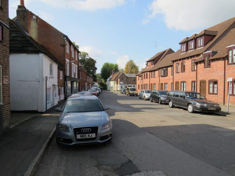
Germain Street, Chesham
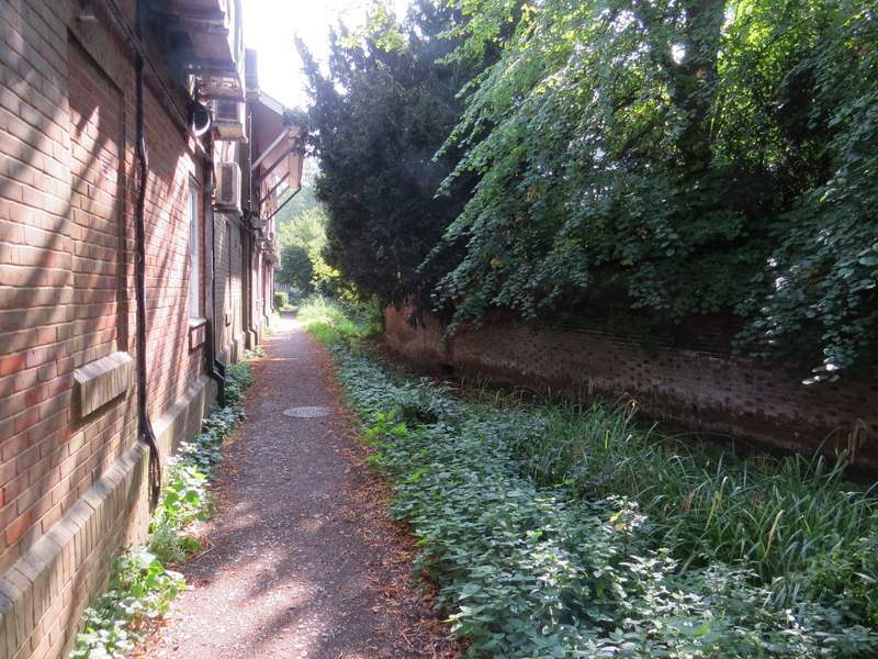
Duck Alley
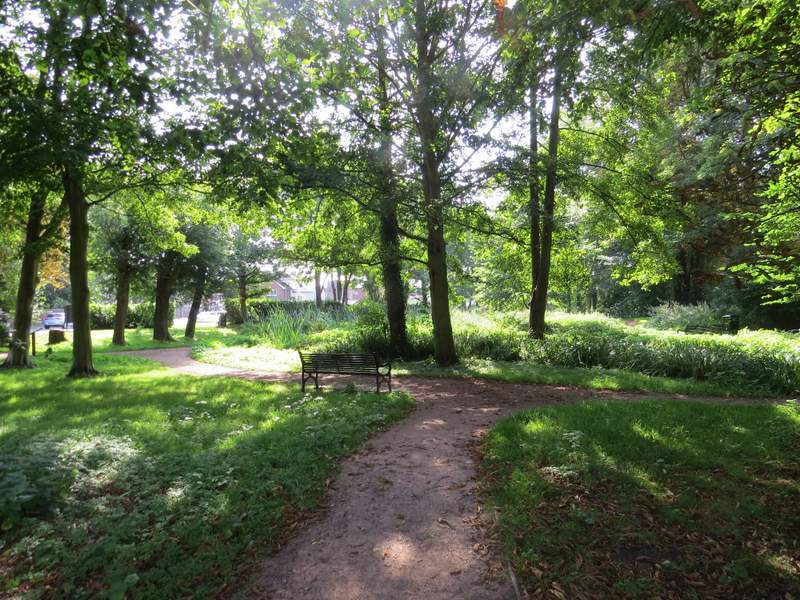
Meades Water Gardens
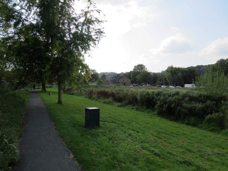
I crossed the road immediately before a roundabout and went down Moor Road, opposite, initially following the pavement on the right but switching to the left when a pavement started on that side. I now had the river Chess on my left, and not only did this section have water in it, I spotted a few wildflowers too, including Redshank, Water Mint and Monkey Flower. After going under a bridge, the path parted company with the road, going straight on alongside the river. After two or three hundred yards, when I reached a bridge over the river on my left, I turned right to return to Moor Road, where I crossed over and turned left, passing a swimming pool and some tennis courts. When i came to a road I crossed it, and entered a playing field, where I went left into the corner and turned right. After a short while a path continued on into trees and bushes, now following the Chess again on my left. I soon went over the Chess, with a mill stream continuing to my left, which I followed as far as a waterfall or weir.
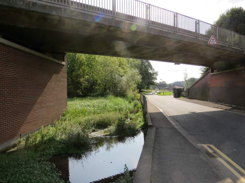
Moor Road
The path parallel to Moor Road
The playing fields at Chesham
The path beside the mill stream
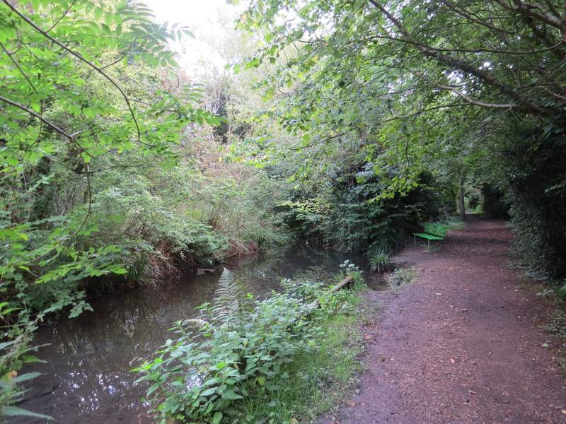
The path beside the mill stream
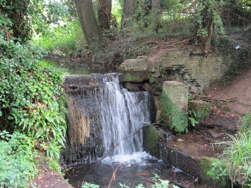
The waterfall or weir
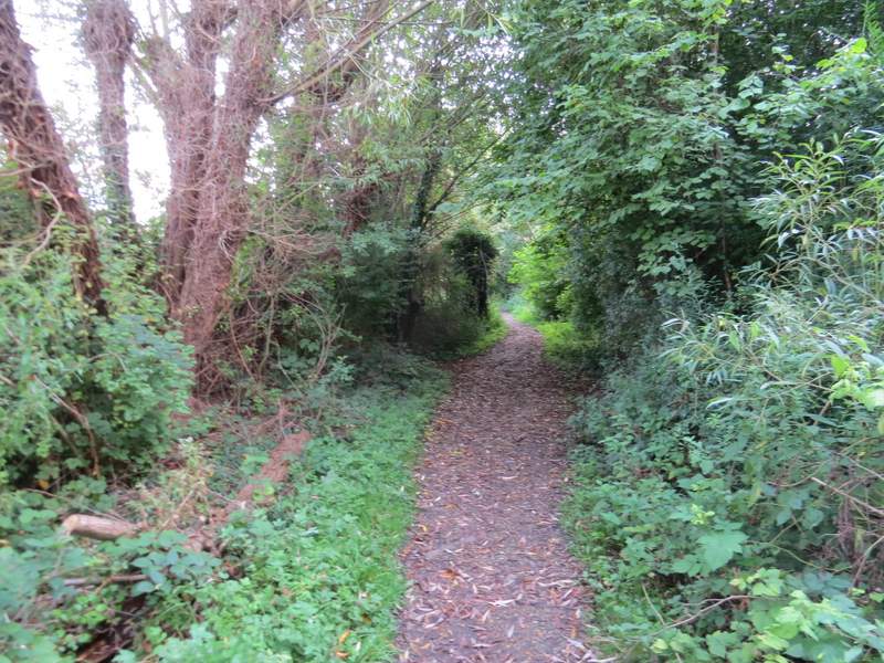
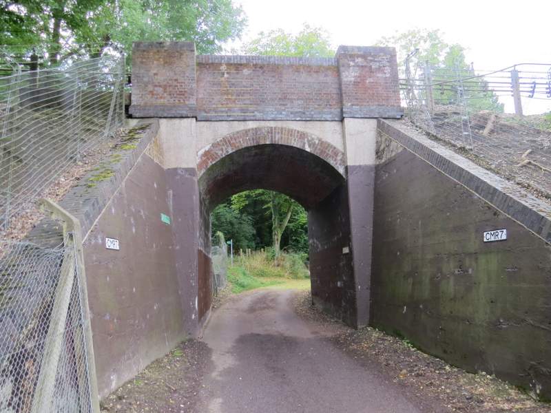
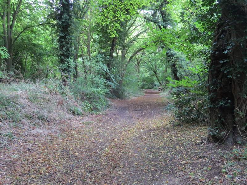
Here I turned right, and followed a path that ran between fishing lakes either side to reach Cresswell Road. Across this a short alley continued to reach Bois Moor Road, where I turned right. As the road came to a junction, I carefully crossed over and took a bridleway that went under a railway bridge and passed a burial ground on the right. The bridleway (there was occasional evidence that this had once been a surfaced lane) then continued through Bois Wood and was soon heading uphill. After several hundred yards it reached a lane by Great Bois Wood House, where I turned left.
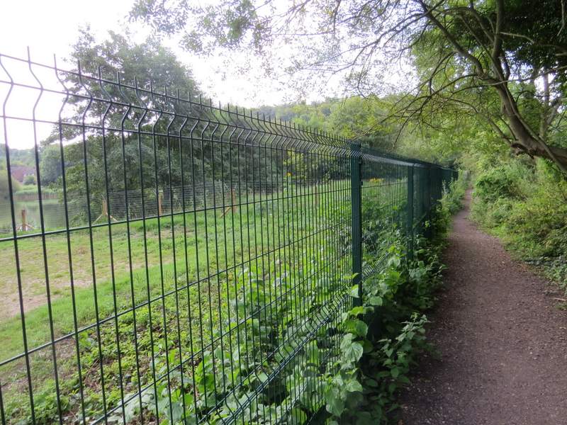
The path between two fishing lakes, that leads to Cresswell Road
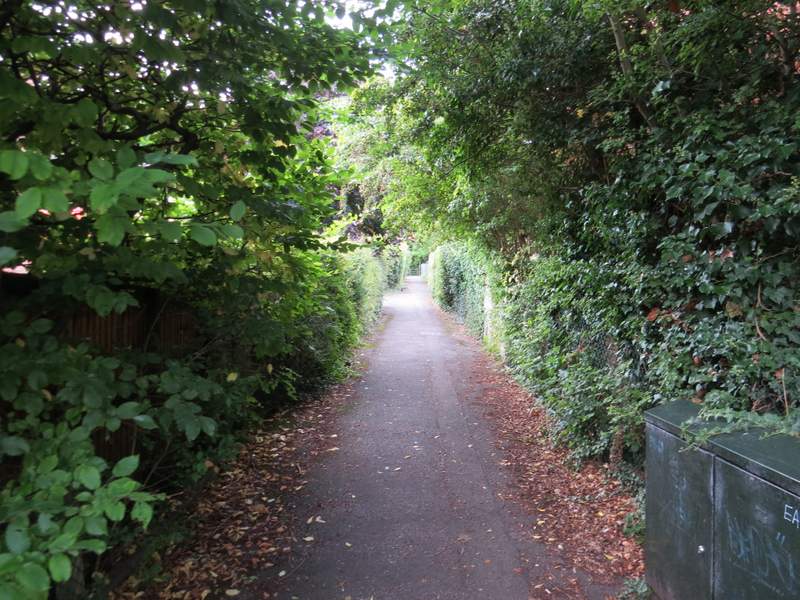
The short path from Cresswell Alley to Bois Moor Road
The start of the bridleway from Chesham to Chesham Bois
The bridleway from Chesham to Chesham Bois
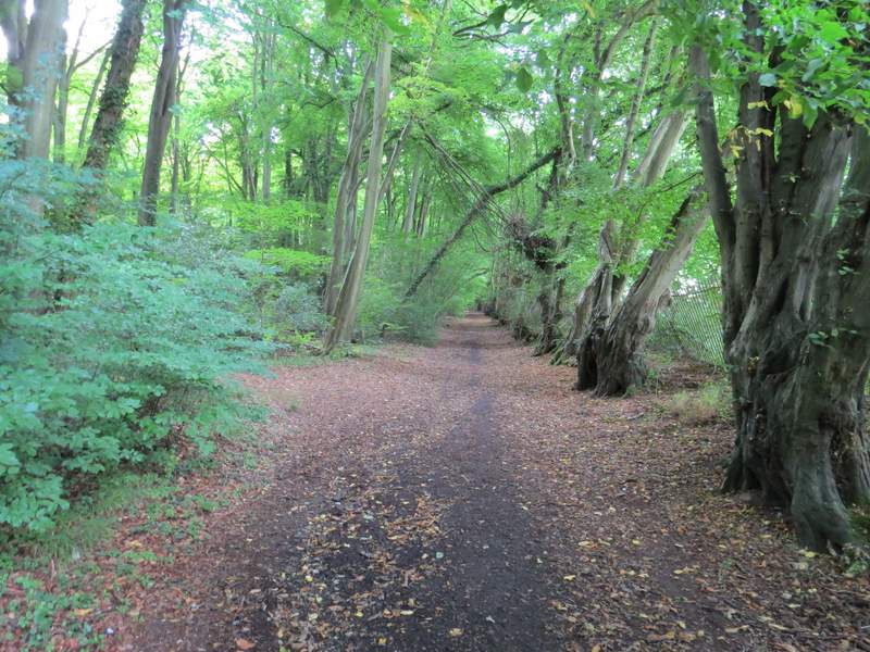
The bridleway from Chesham to Chesham Bois
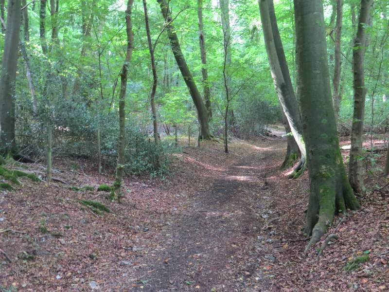
The bridleway from Chesham to Chesham Bois
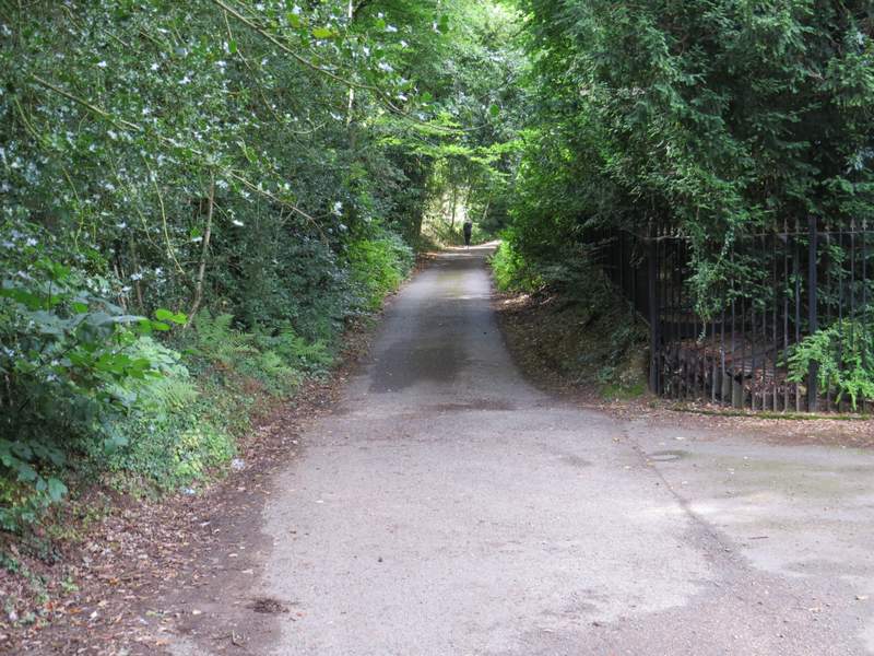
The lane past Great Bois Wood House