Pete's Walks- Chesham and Chenies (page 2 of 3)
If you are considering walking this route yourself, please see my disclaimer. You may also like to see these notes about the maps and GPX files.
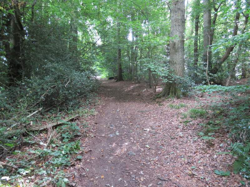
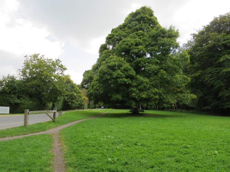
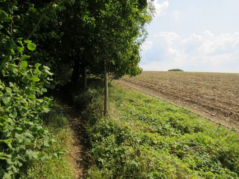
After one or two hundred yards I turned left onto a bridleway going back into the woods (actually there seemed to be two paths starting here, it was the leftmost one that I needed). This stayed close to an edge of the wood, then joined a drive going close to three or four properties to reach a road, North Road. Across this a broad path went through trees to reach a cricket pitch, where I turned left. When the cricket pitch curved right, I continued straight on following a path through trees parallel to North Road (there was actually a choice of paths here, but it was easy enough to keep going more or less straight on). I soon reached Bricky Pond, where I spotted some Purple Loosestrife. I then continued down North Road, to its end by the village War Memorial.
 />
/>
The bridleway going left from the lane to North Road, Chesham Bois
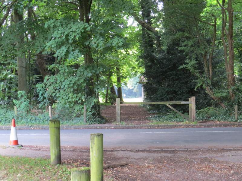
Where I crossed North Road, heading towards the cricket pitch
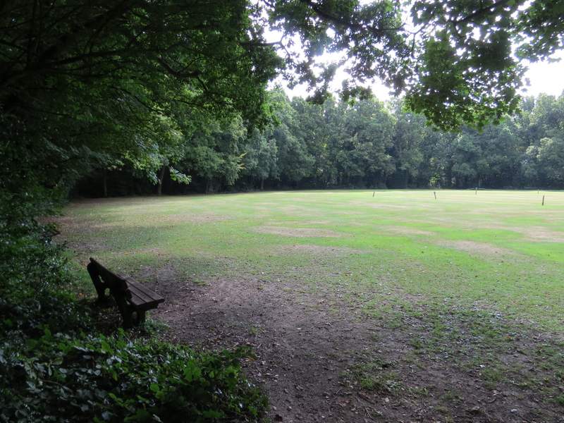
The path beside the cricket pitch
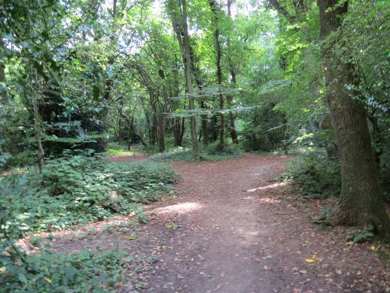
The path (or paths!) runnining parallel to North Road
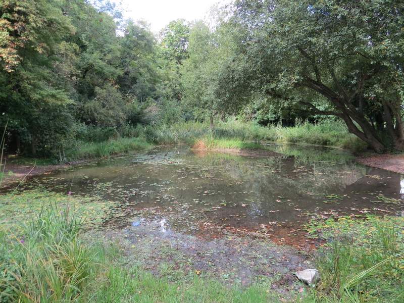
Bricky Pond, Chesham Bois
The path alongside North Road
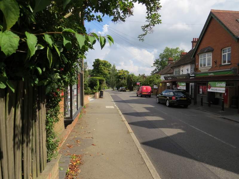
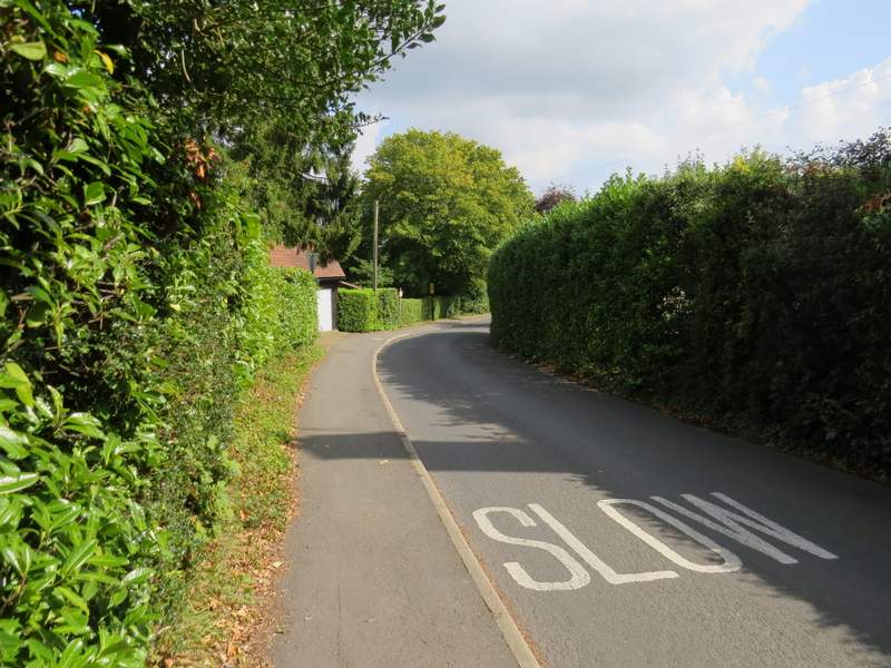
>I turned left into Bois Lane, soon passing a parade of shops on the right. After a quarter of a mile or so I turned right into Hollow Way Lane, and after a short distance turned right again, into St Leonards Road. When this started to turn left, I went straight on along a path that soon entered Blackwell Stubbs Wood, dropping downhill and then running along a valley. Beyond the wood I passed under another railway bridge, then the path ran between fences for some distance, before going through a couple of gates either side of a drive and finally reaching Latimer Road in the Chess Valley.
 />
/>
Bois Lane
Hollow Way Lane
The path starting from St Leonards Road
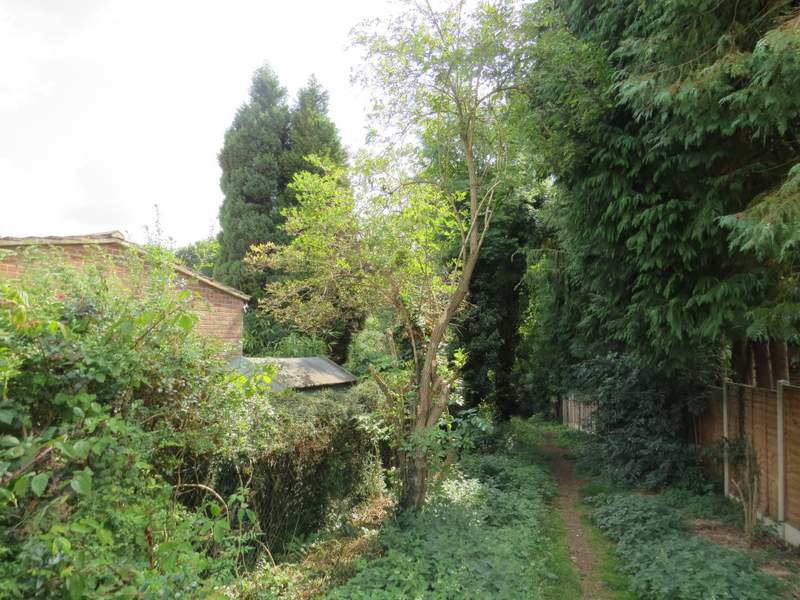
Blackwell Stubbs Wood
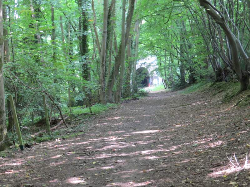
The path through Blackwell Stubbs Wood, approaching the tunnel under the railway
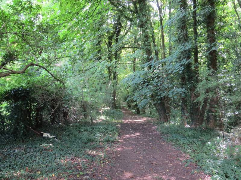
The path continuing towards Blackwell
The path continuing towards Blackwell
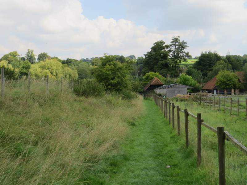
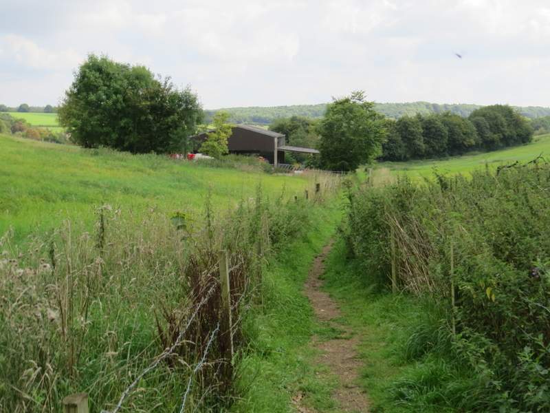
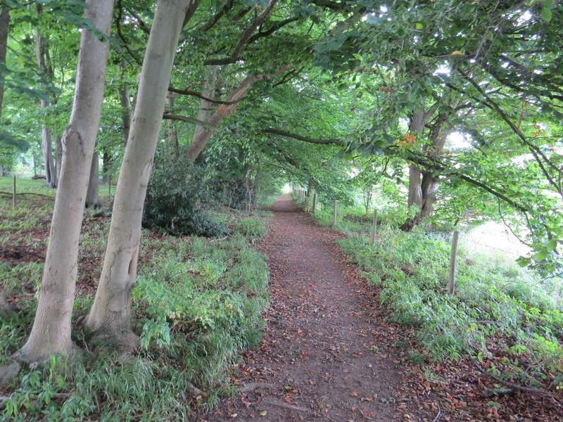
I carefully crossed the road and went down Blackwell Hall Lane opposite. This ran very straight for a few hundred yards, then turned right as it reached the small hamlet of Blackwell. When the lane started to curve left, I took a footpath going straight on along a farm track. After passing some farm buildings, the path continued along the edge of three pastures, that sloped uphill to my left (there were a few young cattle at the top of the third one). The path then entered a wood, Frith Wood I think, and after running level for about a hundred yards the path started going up the hillside, just inside the edge of the wood.
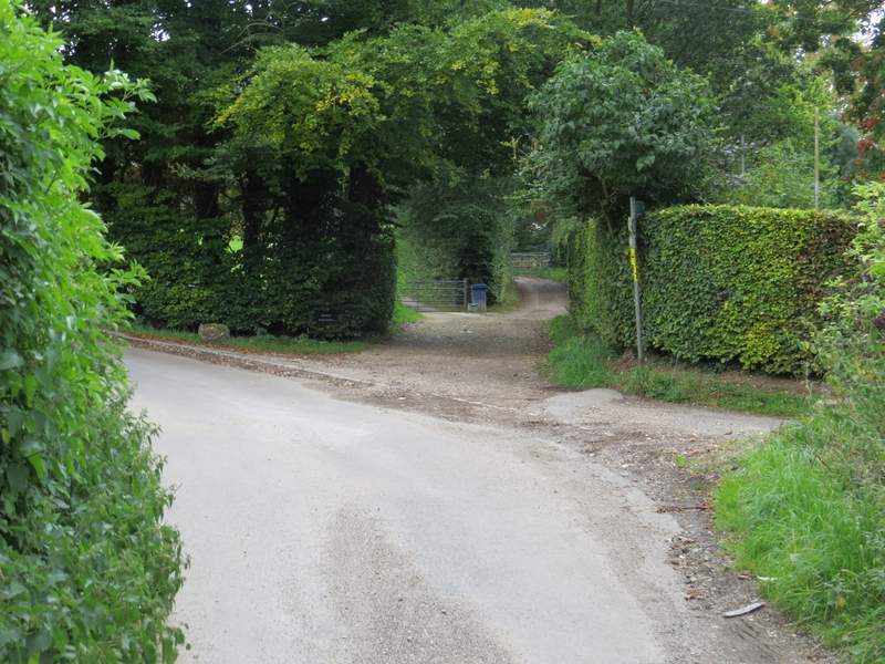
Where I turned off Blackwell Hall Lane
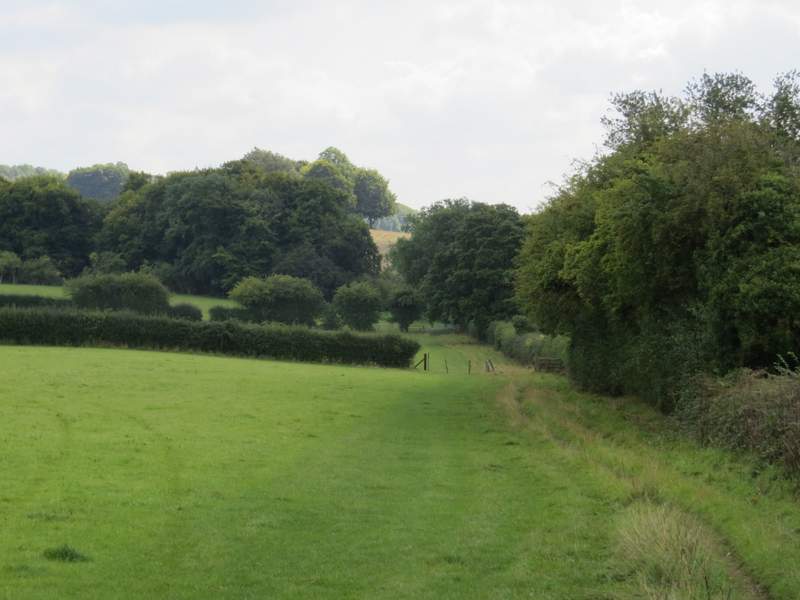
The path from Blackwell to Latimer, running through the three pastures
The path from Blackwell to Latimer
The path from Blackwell to Latimer, rising uphill just inside Frith Wood