Pete's Walks - North from Little Missenden (page 3 of 4)
If you are considering walking this route yourself, please see my disclaimer. You may also like to see these notes about the maps.
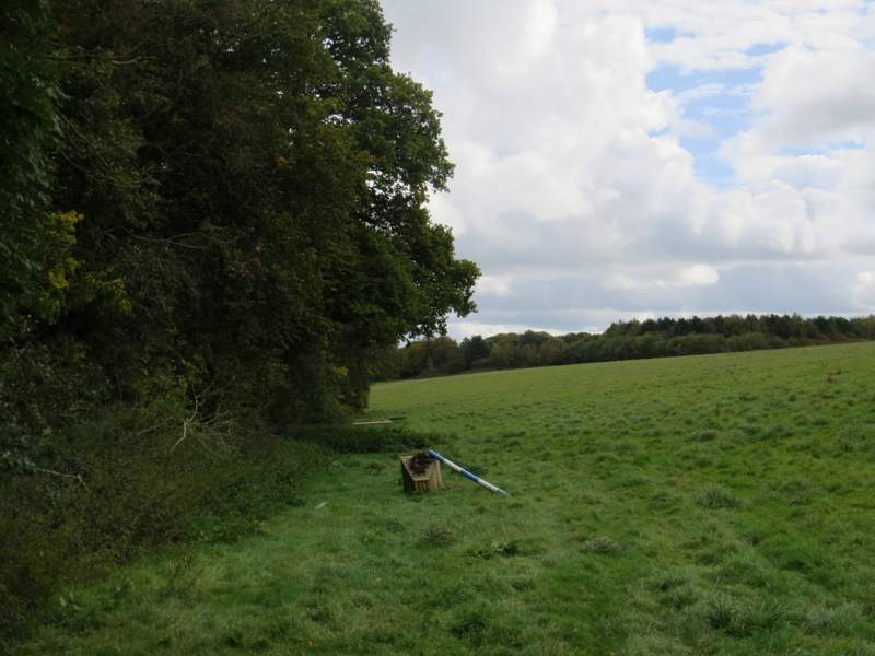
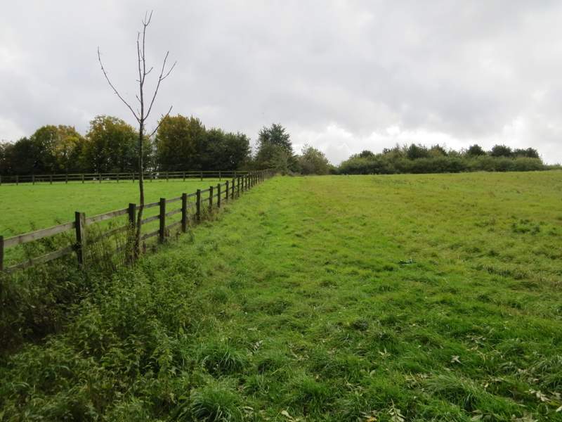
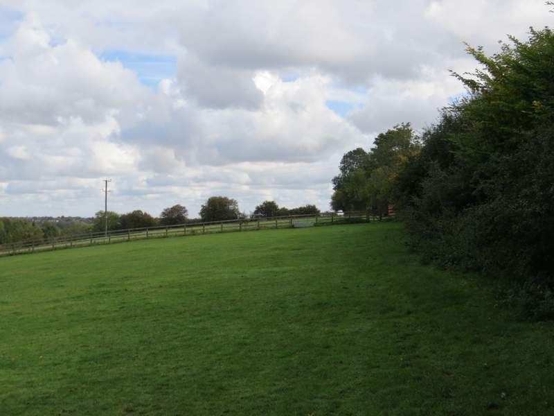
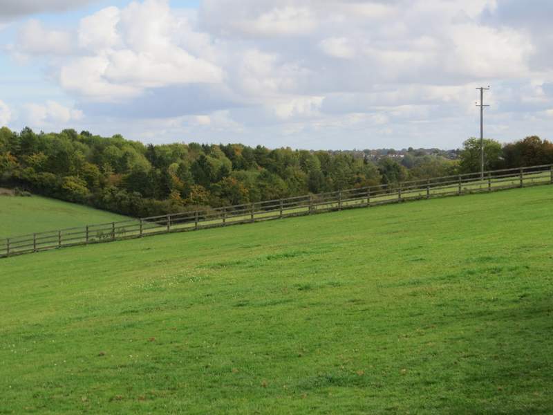
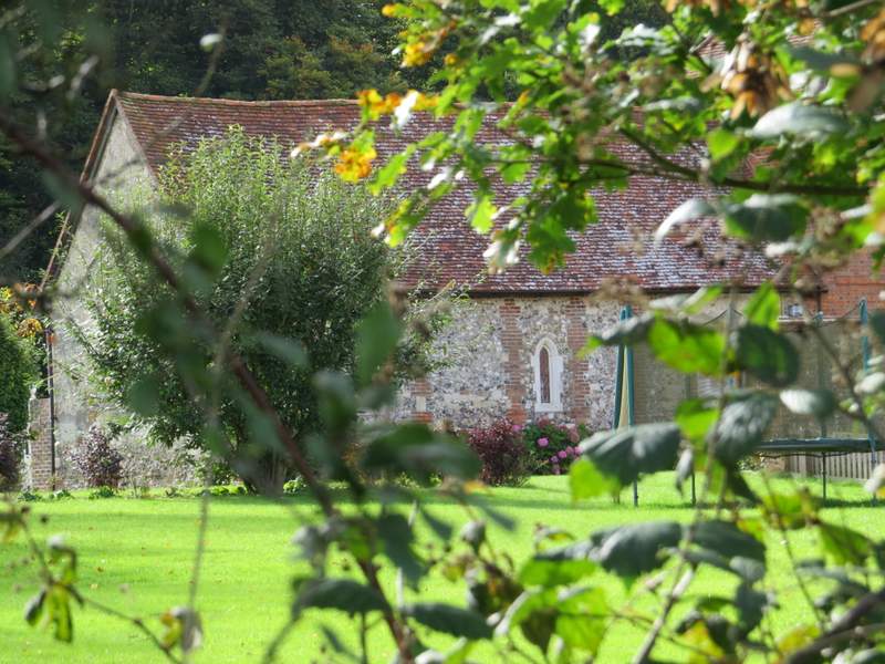
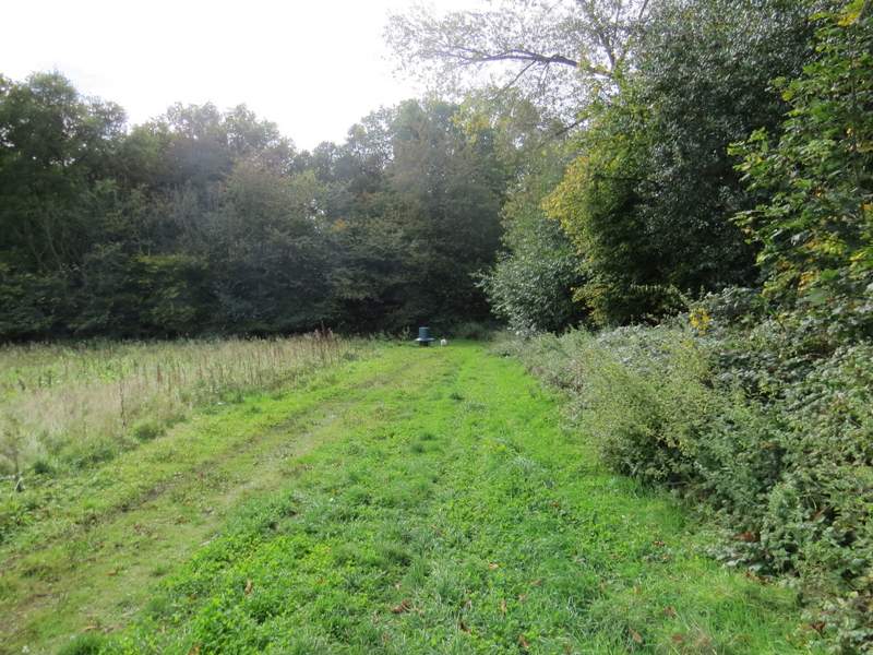
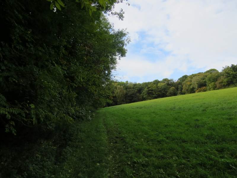
After passing a junction where a lane went left I was once again entering what was new territory for me.A little further on, as the lane briefly descended into another valley, I turned left onto a footpath that followed a hedgerow on my left. After a few hundred yards the path turned right alongside a paddock fence, heading uphill. Near the top of the slope, the path went left (lots of nettles here), and followed a hedgerow on my right. The path continued beside this hedgerow until it reached a corner of a track - here instead of following the track ahead, it went through a gate in the hedge opposite, to continue in the same direction as before beside another hedge on the right - this field was a paddock with a solitary horse. Beyond the paddock I passed a wall on my right, the boundary of the estate buildings around Hundridge Manor. I was soon following another hedgerow on my right, and managed a glimpse of an old chapel that is now attached to Hundridge Manor (I'd noticed this chapel marked on my OS map a couple of times before, and that is why I'd decided to include this particular path on my route today).
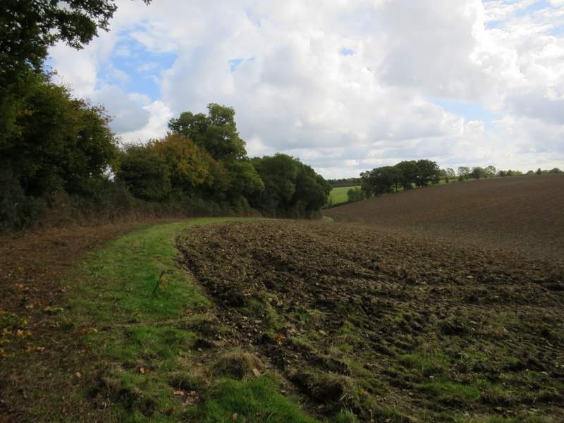
The start of the path from Little Hundridge Lane to Hundridge Manor
 />
/>
The start of the path from Little Hundridge Lane to Hundridge Manor
The start of the path from Little Hundridge Lane to Hundridge Manor
The start of the path from Little Hundridge Lane to Hundridge Manor
The path, just before passing Hundridge Manor
View from the same spot as the last photo, near Hundridge Manor
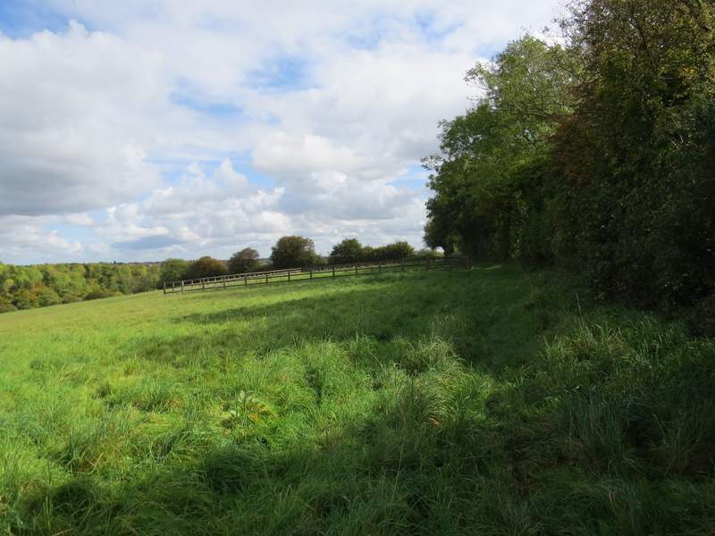
The path immediately after passing Hundridge Manor
 />
/>
The old chapel at Hundridge Manor - all I could find out about it on Wikipedia is that it is a mediaeval building used up until the reformation, and that it is now attached to Hundridge Manor, as the photo shows. It is marked on the OS map as 'Chapel (remains of)', and was the reason I chose this particular path today.
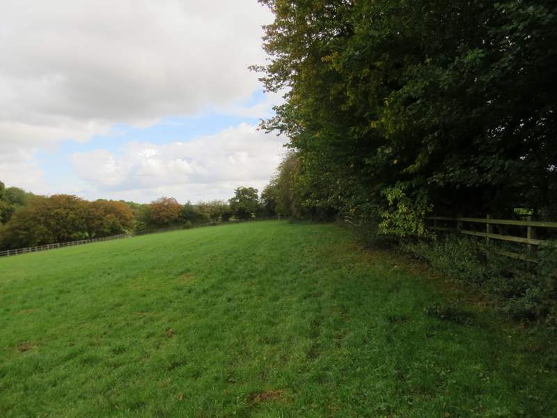
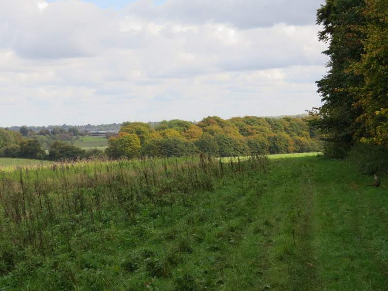
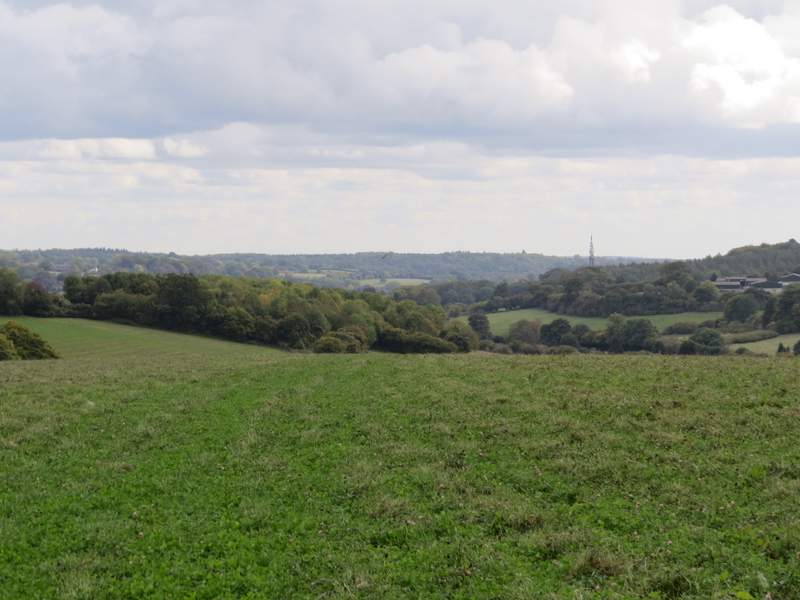
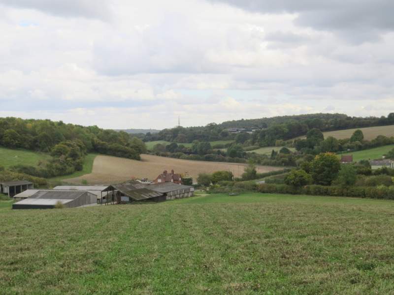
I continued, now beside a wood on my right, still with the same small valley on my left, and stayed with the edge of the wood when it turned right and then left. When it turned right again, the path went straight on across a large field that seemed to be mainly clover - I couldn't actually see a path here, but continued more or less in the same direction as before, perhaps fractionally more right. I was at the end of a ridge with the field dropping gradually down ahead of me. When the tops of the chimneys at Lower Hundridge Farm came into view, I aimed towards them. It had been a lovely sunny morning, but I now saw ominous grey clouds about to overtake me from my right and soon there was a pretty heavy shower - this was the second walk in a row that I've had to put my rain jacket on. At the bottom of the slope, the path passed just to the right of the farm buildings to reach Missenden Road (I was only half a mile or so from the outskirts of Chesham here, but it was hidden from me by a curve in the valley I was now in).
The path continuing from Hundridge Manor (it turns left in the field corner)
The path continuing from Hundridge Manor
The path continuing from Hundridge Manor, heading down towards Lower Hundridge Farm
The path continuing from Hundridge Manor, heading down towards Lower Hundridge Farm
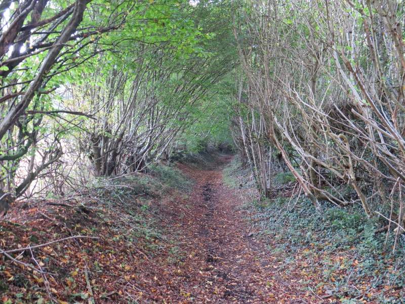
I turned left along the road. On the far side of Halfway House Farm, I turned right onto a bridleway - there was no visible sign here and I went a few yards past it before coming back. The bridleway started down a driveway, with fields on the left, passing a couple of properties on the right, then ran for several hundred yards between hedgerows, that totally blocked any views. After almost half a mile, the bridleway turned slightly right and opened out slightly. It then ran for a while along the left edge of a meadow, with White's Wood on my left.
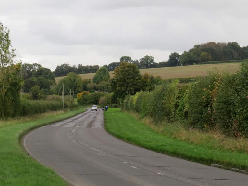
Missenden Road
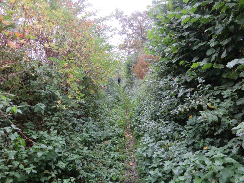
The bridleway from Halfway House Farm
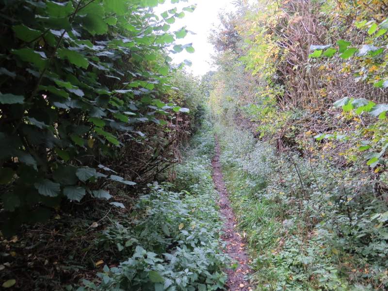
The bridleway from Halfway House Farm
The bridleway from Halfway House Farm
The bridleway continuing past White's Wood