Pete's Walks - North from Little Missenden (page 4 of 4)
If you are considering walking this route yourself, please see my disclaimer. You may also like to see these notes about the maps.
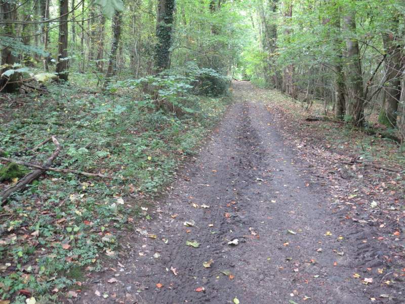
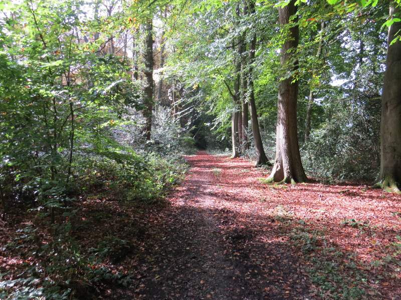
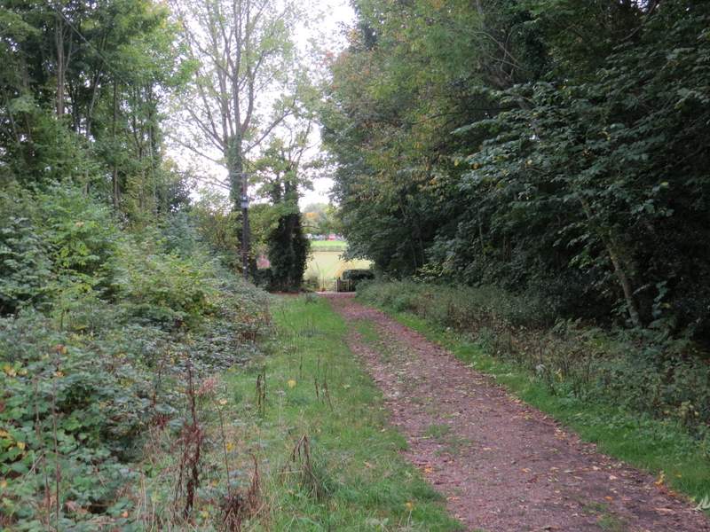
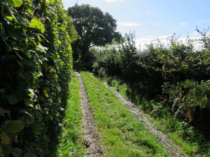
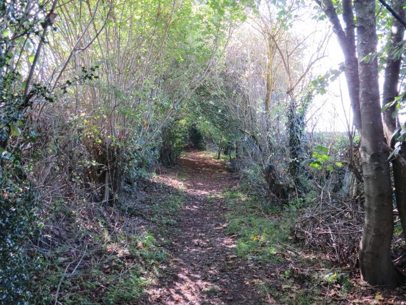
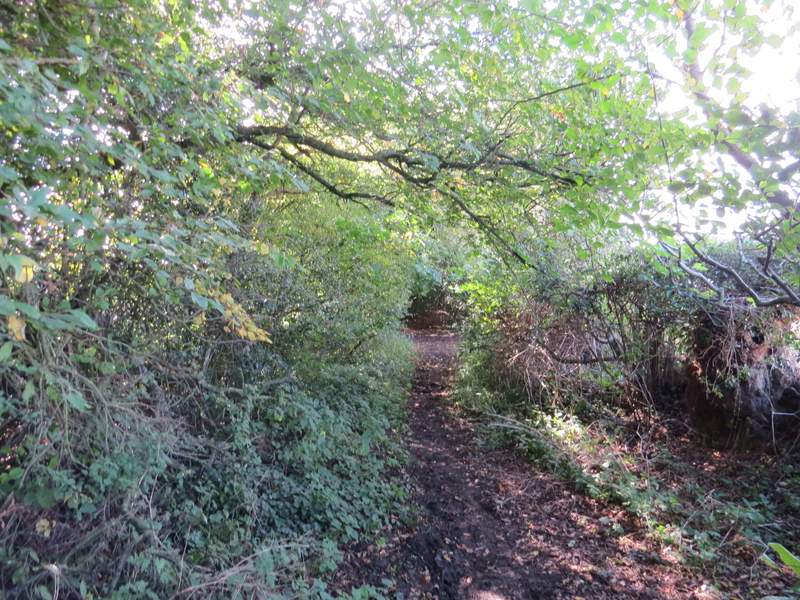
The bridleway then entered White's Wood, following a track. After a hundred yards or so I came to a fork in the track with no waymarks or signs, where I eventually correctly guessed that I should go straight on rather than half-left. The bridleway continued through the wood, and then on for some distance between hedgerows. It then turned left along another track (where a footpath went right). The track soon turned half-right, and a few yards further on I turned right at a bridleway junction. The led through the wooded Hyde Heath Common, where I went left at a junction to reach Hyde Heath Road.
The bridleway continuing through White's Wood (just after going straight on at a fork in the track)
The bridleway continuing through White's Wood
The bridleway continuing from White's Wood
The bridleway continuing from White's Wood
The bridleway after it turns left
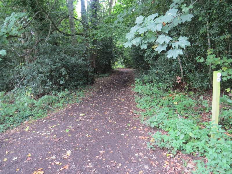
The start of the bridleway through Hyde Heath Common
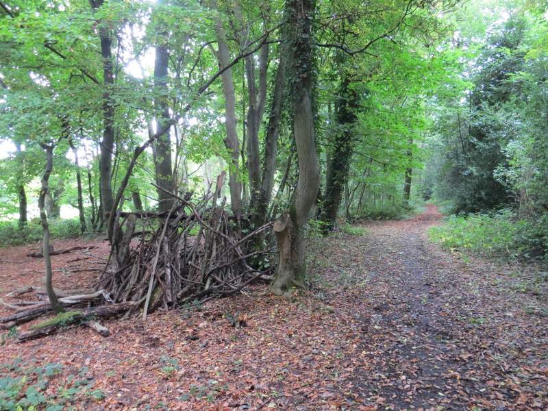
The bridleway through Hyde Heath Common
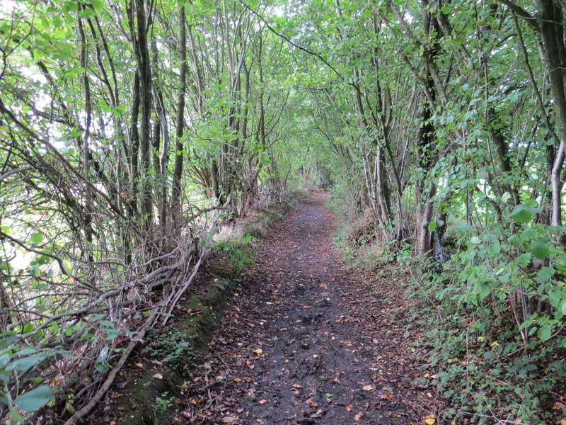
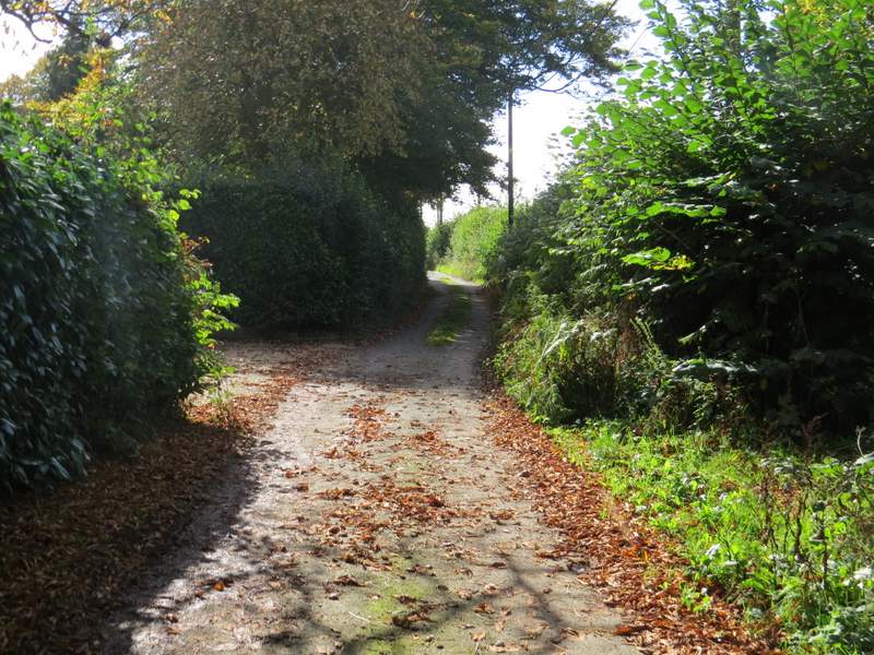
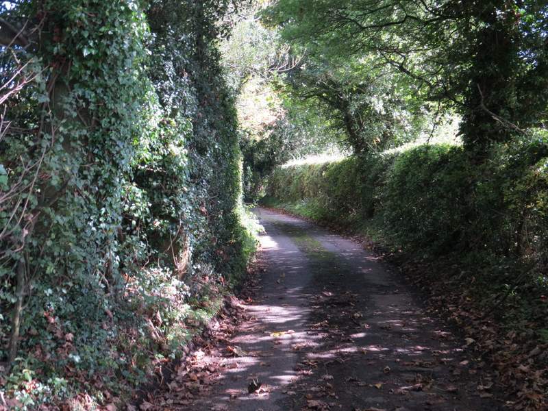
I turned left along the road, just entering the outskirts of Hyde Heath before, maybe after a hundred yards or so, turning left onto a bridleway along the wonderfully named Bullbaiters Lane. The surface of this gradually deteriorated as it passed a few properties, then it ran for several hundred yards as a narrow track between high hedgerows. Eventually it reached a lane coming from Mantle's Farm to my right, where I turned left.
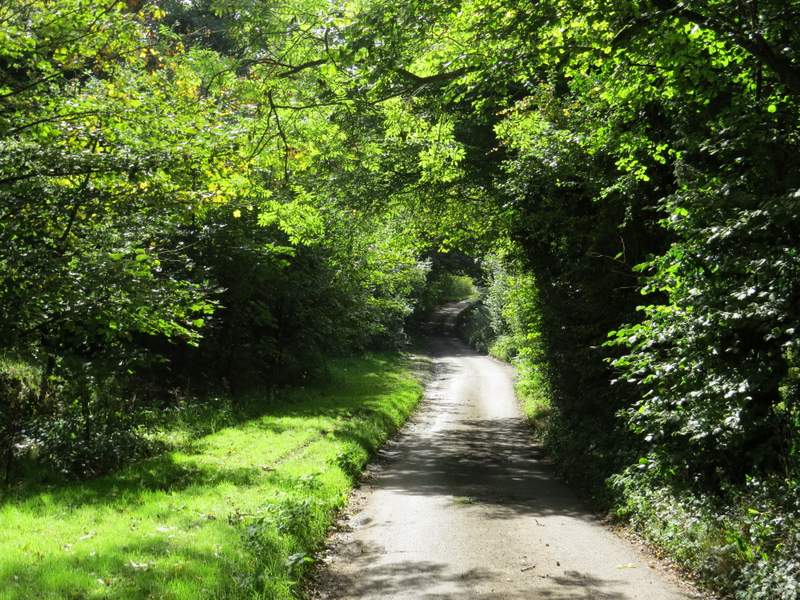
Bullbaiters Lane (what a great name!)
Bullbaiters Lane
Bullbaiters Lane
Bullbaiters Lane
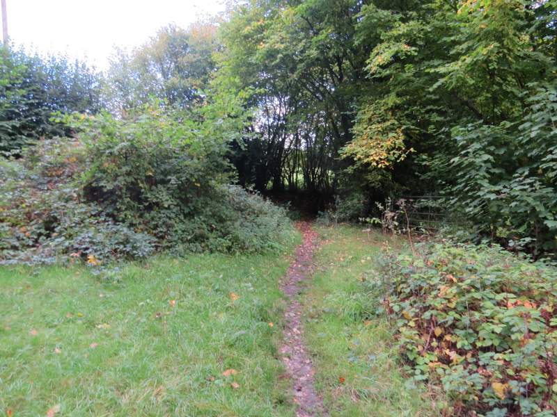
The lane from Mantle's Farm
When I reached a junction with Chalk Lane, instead of immediately going right, towards Little Missenden, I went left for maybe a quarter of a mile (to just past a small wood on the left) in order to see the remains of a 'motte and bailey' castle that was marked on the OS map (I'd never even noticed this on the map before, until I planned this route this morning). Having taken a couple of photos from the lane (like the chapel earlier, it's on private property), I returned to the junction and followed Chalk Lane downhill, under a railway bridge, and on to where it ended at the A413. I then just had to cross the road, go down Taylor's Lane (almost opposite) into Little Missenden, turning right at its end to reach the village church and my parked car.
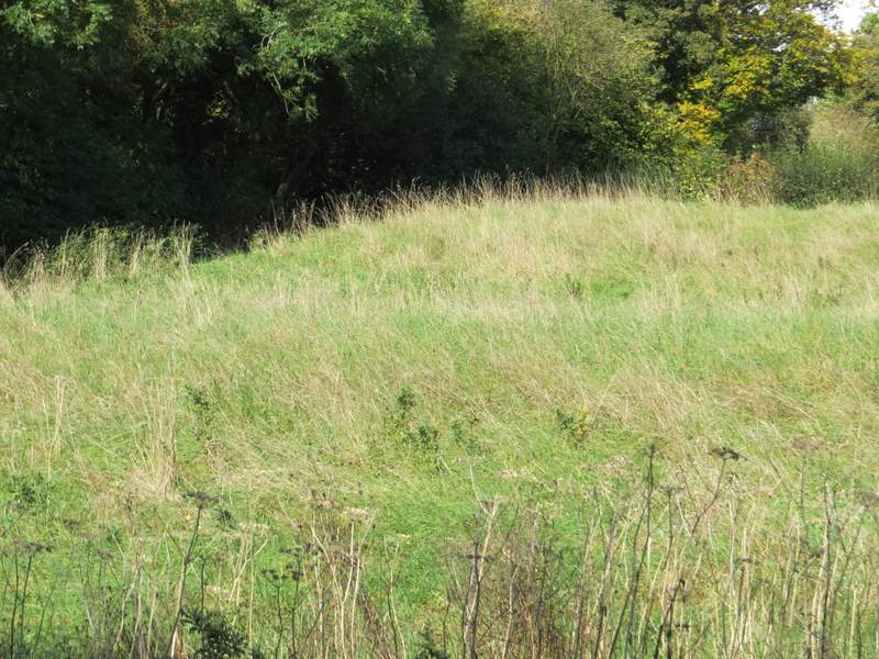
'Castle Tower Motte & Bailey' according to the OS map, in a field next to Chalk Lane
Chalk Lane
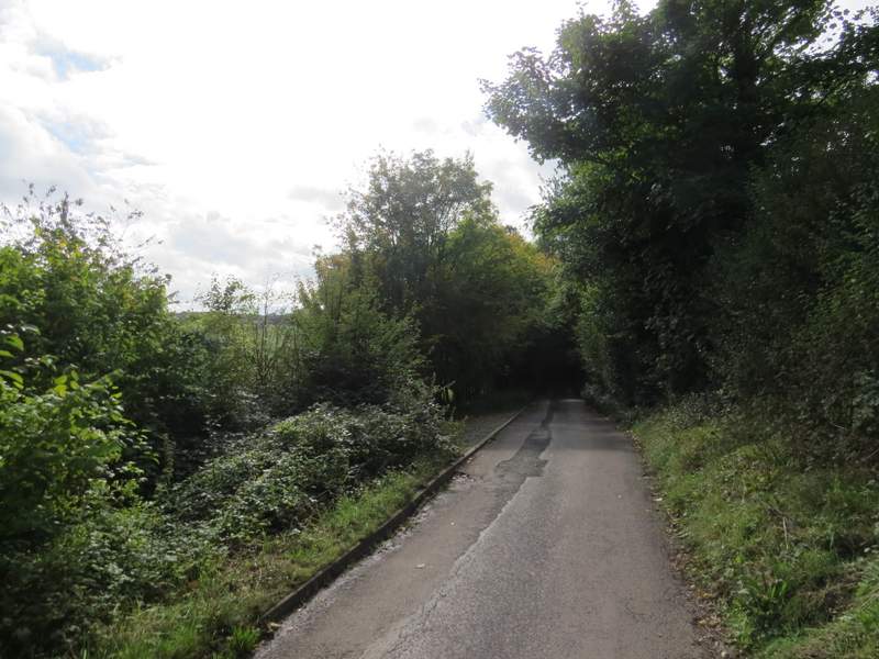
Chalk Lane
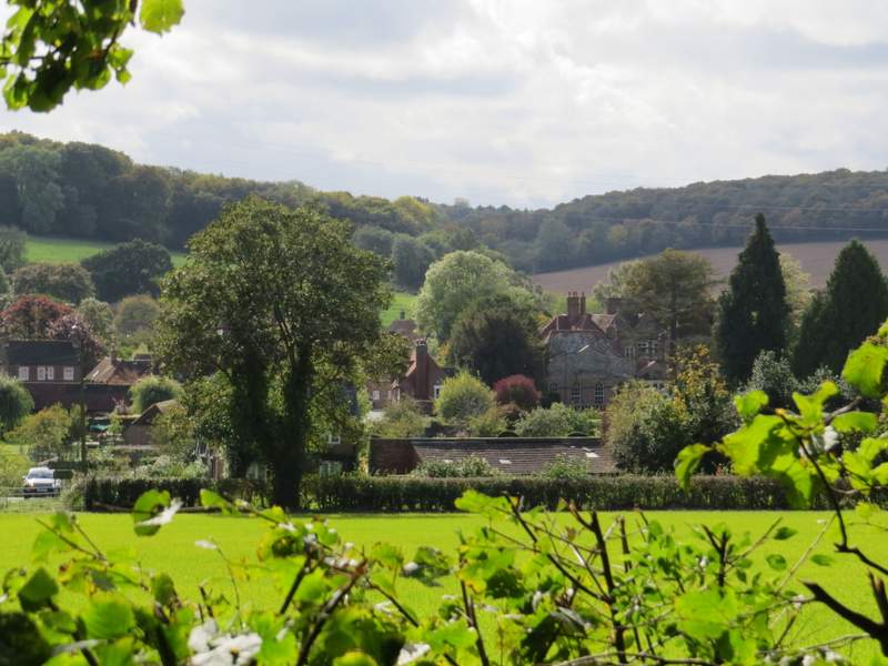
View towards Little Missenden from Chalk lane
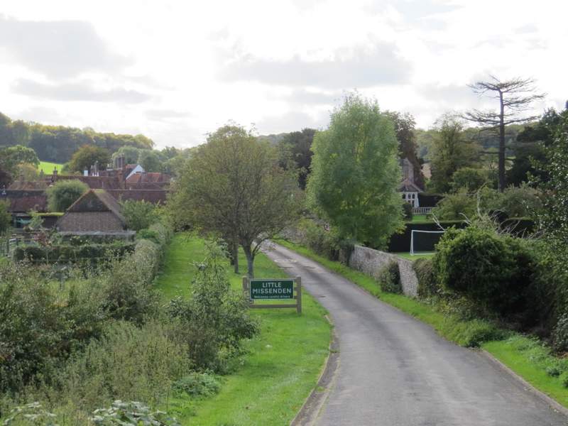
Taylor's Lane, leading into Little Missenden
This was a very interesting walk for me, as no more than half a mile of the roughly eight mile route was familiar to me. I was aware that I'd never walked this small area of the Chilterns between Little Missenden and Chesham before, and had occasionally looked at plotting a route here (which was why I knew about the old chapel at Hundridge Manor) but without success. I'm not sure why, as I planned today's route in a couple of minutes - I guess when I've looked before I wanted a longer route. I'm sure I'll be back to walk these paths again, and am already thinking of how I can link them into longer walks (once the paths south from Little Misssenden are open again!).