Pete's Walks - Maidensgrove Common and Moor Common (page 1 of 6)
If you are considering walking this route yourself, please see my disclaimer. You may also like to see these notes about the maps and GPX files.
Google map of the walkDownload GPX file of the walk
I did this circular walk of about 14.3 miles on Saturday, 14th October 2017. It was a repeat of a walk I did in early July this year (2017) but done in the opposite (clockwise) direction. In this case I am using the term 'circular walk' even more loosely than usual, as the route was actually a long thin rectangle with the return section sometimes only a few hundred yards from the outward section.
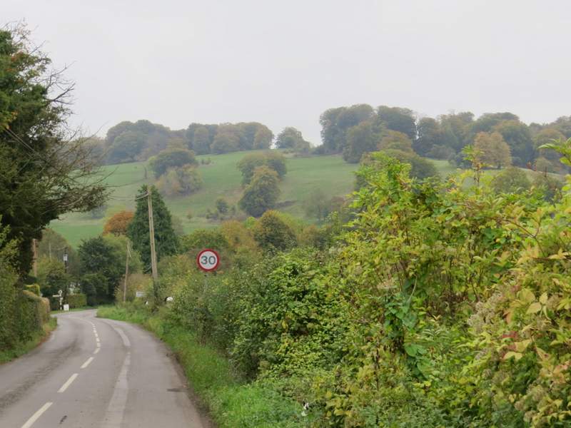
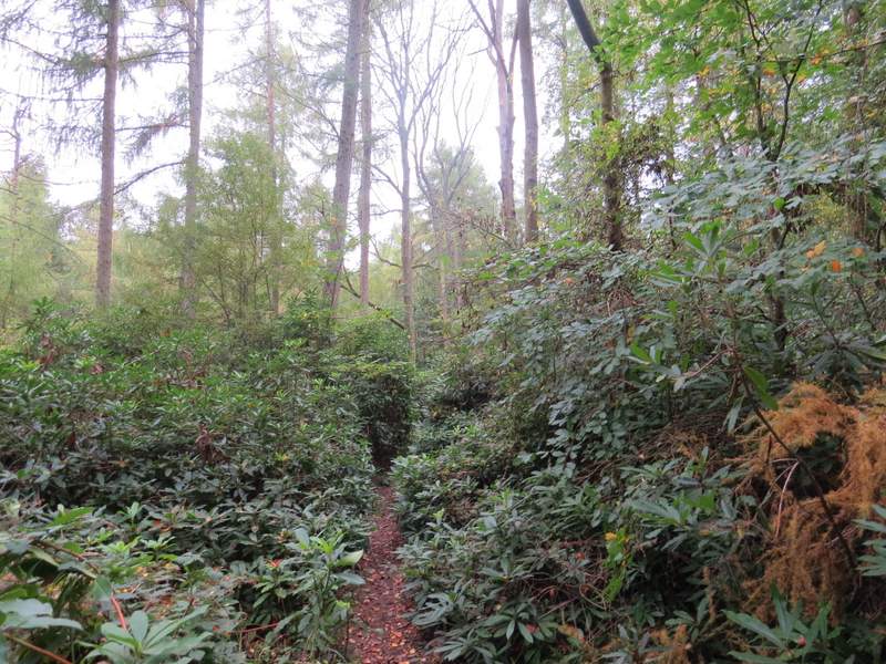
I parked on Maidensgrove Common where the lane crosses it (grid reference SU 717886) - it's all named Russell's Water Common on the OS map, but I believe this south-eastern end is named Maidensgrove Common. I started walking just after 10am, following the lane into Maidensgrove (so I had the smaller part of the common on my right). Where a lane came in on the right, I turned left along a drive and almost immediately passed a pond on the left. At the end of the drive a short path continued straight on into Pishillbury Wood, soon meeting a bridleway where I turned left. After a short distance the bridleway appeared to fork either side of a tree, but the right fork was actually a footpath going right, which was the way I wanted to go today (this and the previous path junction are just shown as a 'crossroads' on the OS map). The path ran for several hundred yards through Pishillbury Wood - the first section had obviously been used as a track for recent forestry work, and I had to keep an eye out for white arrows to check that I stayed on the footpath when the track diverged from it. The path eventually dropped downhill between old hedgerows to reach a minor road, where I turned right into Stonor.
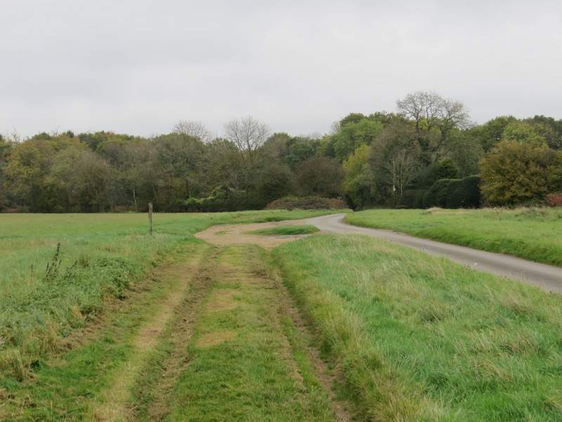
The lane through Maidensgrove Common, heading into Maidensgrove
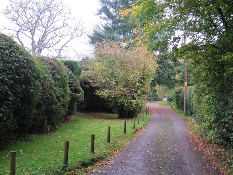
The drive in Maidensgrove
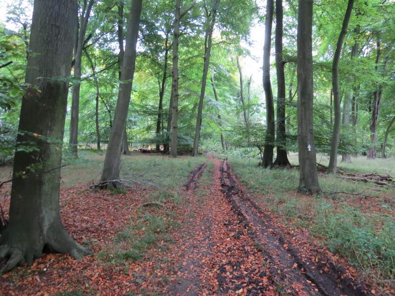
The path through Pishillbury Wood
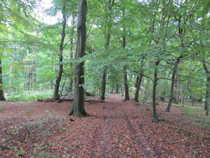
The path through Pishillbury Wood
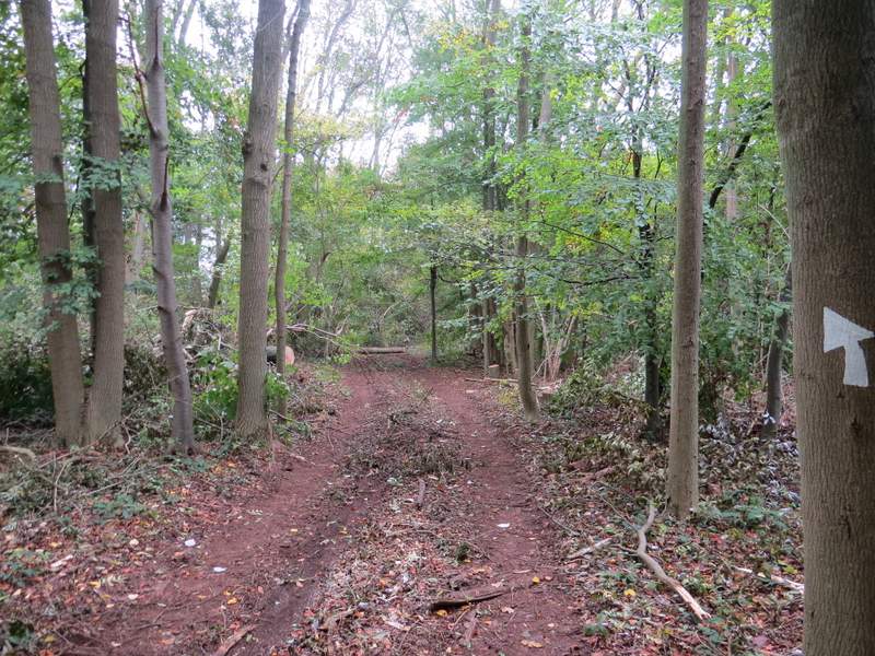
The path through Pishillbury Wood
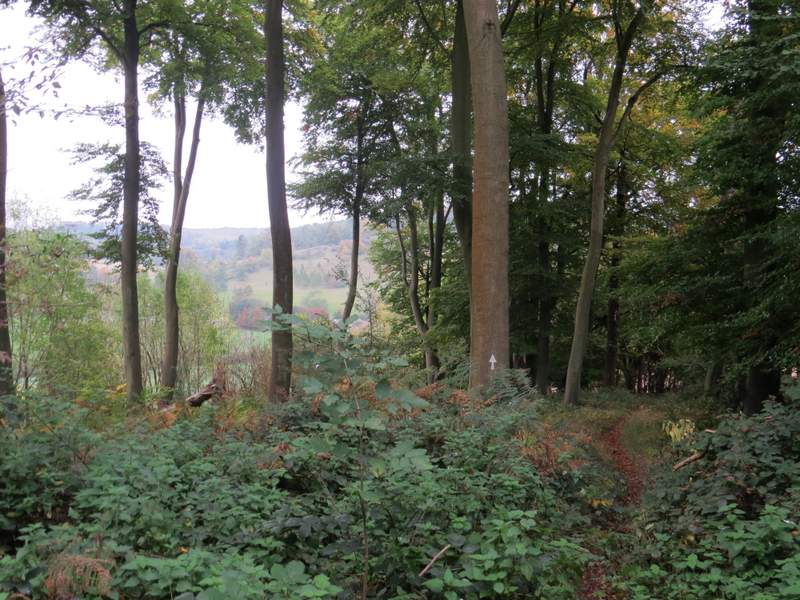
The path through Pishillbury Wood
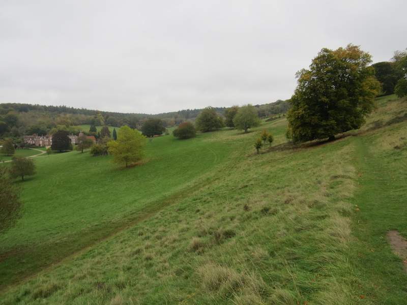
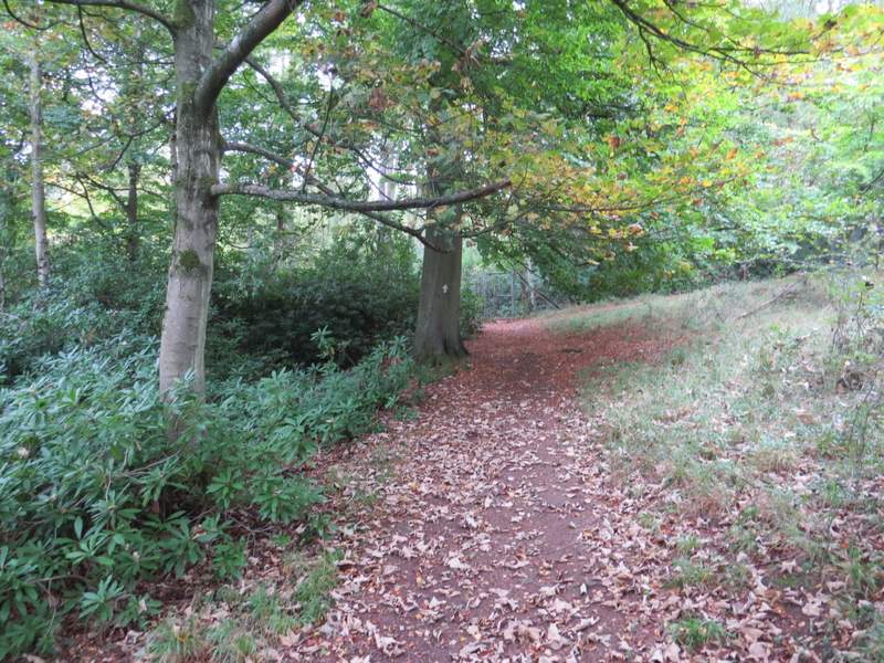
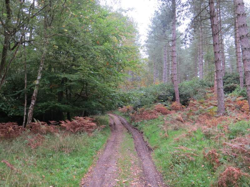
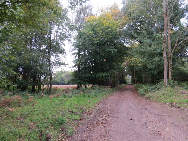
I followed the road to just past the entrance to Stonor Park, when I took a path on the left that went through a metal gate into the deer park. I'd forgotten how steep the first part of this path was, but that was soon over and then it was a long and very gradual uphill through the deer park, with Stonor House and its ancient chapel down to my left. The scenery was very pleasant here, but I had to turn round to get the best views. Eventually I reached the tall (and narrow, it's a very tight squeeze with a rucksack on your back) metal gate in the fence in the deer park. Just past this I spotted some fungi, which I later had identified as Trooping Funnel toadstools (also known as Monk's Head toadstoold, the scientific name is Clitocype geotropa). The path then continued gently uphill through woods for a third of a mile to reach a lane at Southend (a hamlet at the southern end of the parish of Turville).
The road through Stonor

The steep start to the path through Stonor deer park
The path through Stonor deer park
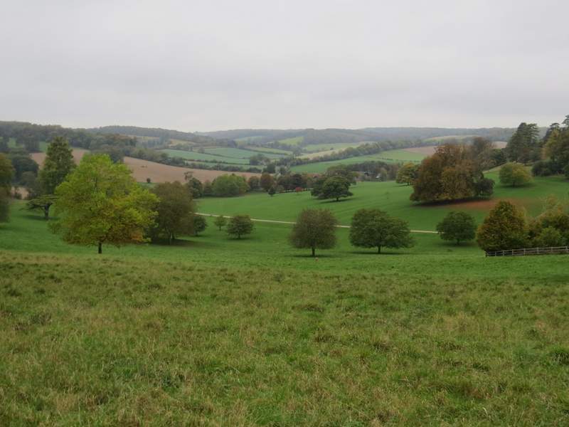
View towards Pishill
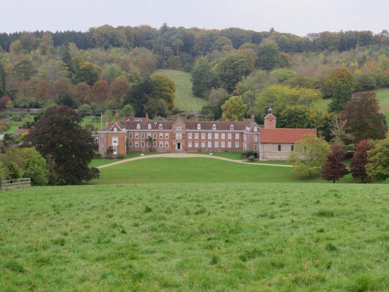
Stonor House
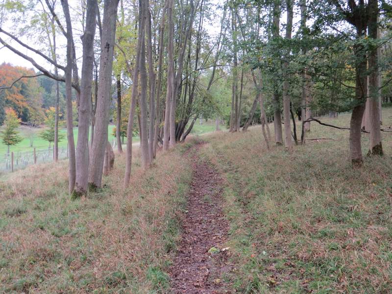
The path through Stonor deer park
The path through Stonor deer park
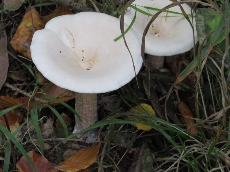
Trooping Funnel (or Monk's Head) toadstool
The path continuing through the woods towards Southend
The path continuing through the woods towards Southend
The path continuing through the woods towards Southend