Pete's Walks - Maidensgrove Common and Moor Common (page 2 of 6)
If you are considering walking this route yourself, please see my disclaimer. You may also like to see these notes about the maps and GPX files.
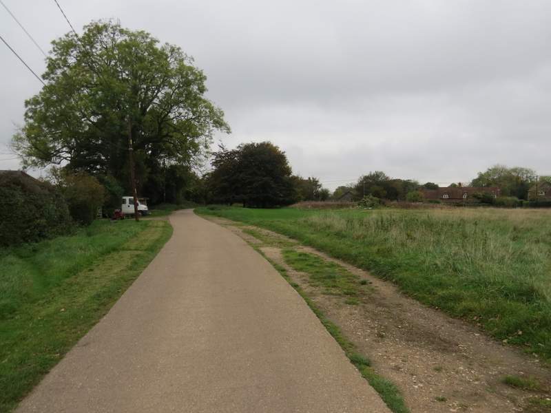
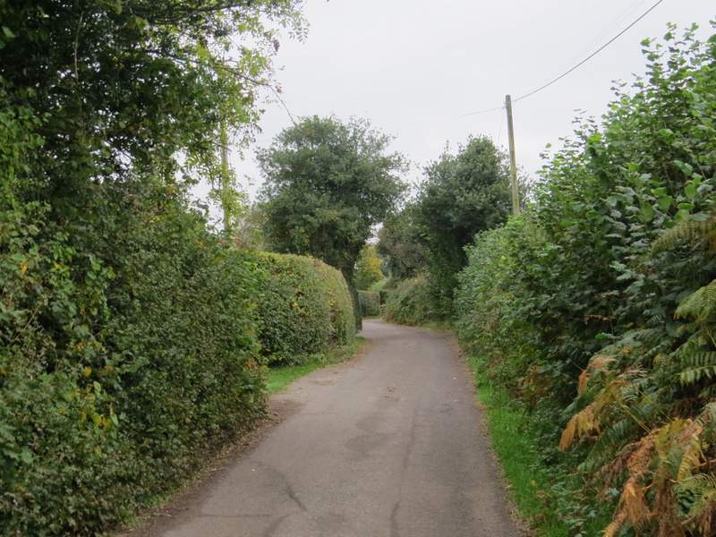
I turned left along the road, then after a couple of hundred yards turned right between cottages on my left and a green to my right. The lane or track I was on would lead after about a third of a mile to Southend Farm, where a bridleway continued straight on between paddock fences, with a nice view ahead. Beyond the paddocks the bridleway dropped downhill quite steeply along a concrete track through a small wood, and continued downhill to reach Dolesden Lane. Across the lane the bridleway followed a hedge on the left for several hundred yards, then ran between overhanging bushes or trees for a couple of hundred yards or so to reach the village of Turville.
Southend
The drive leading to Southend Farm
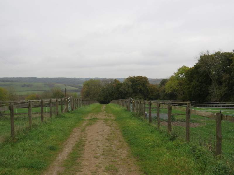
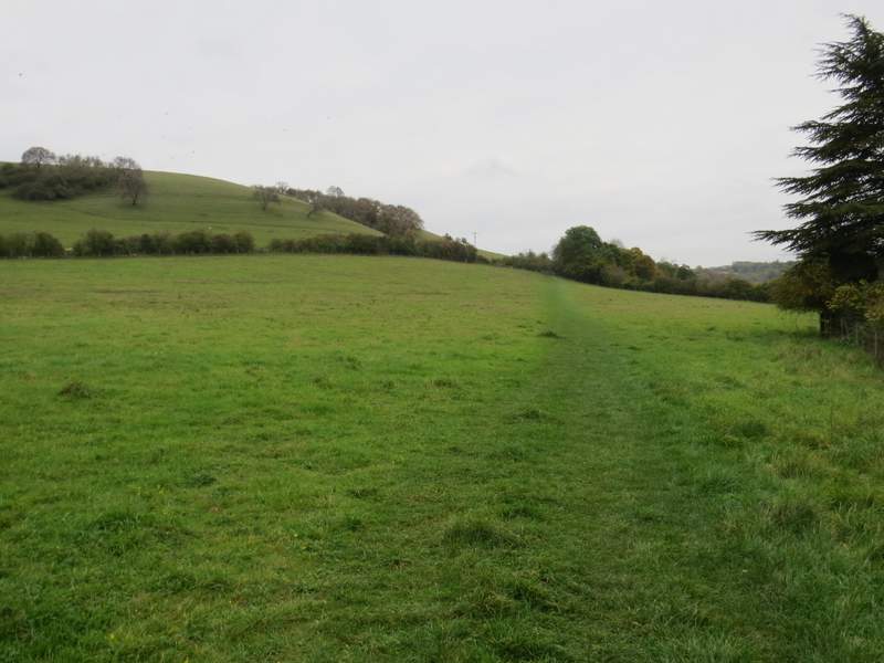
The bridleway from Southend Farm
The bridleway from Southend Farm
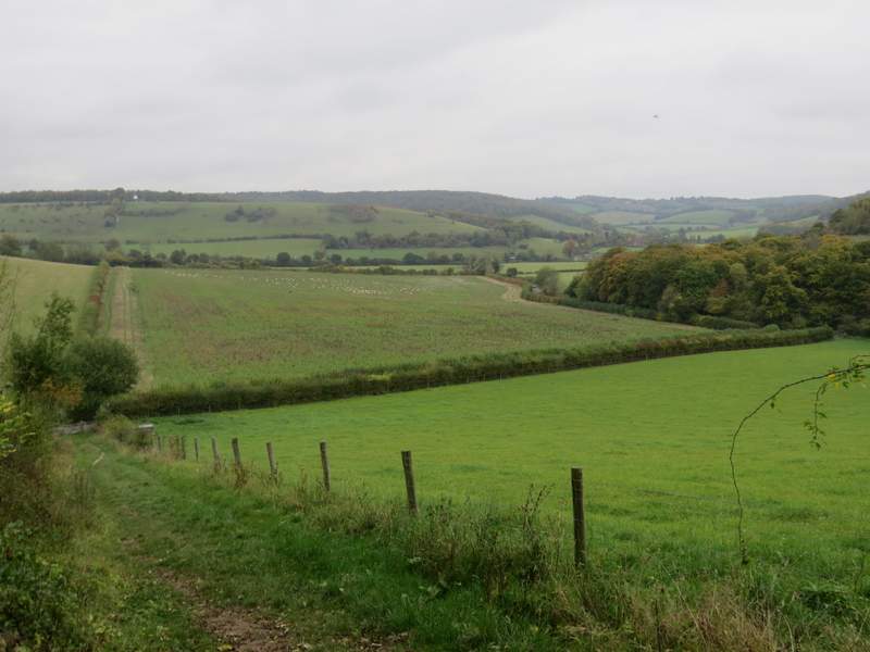
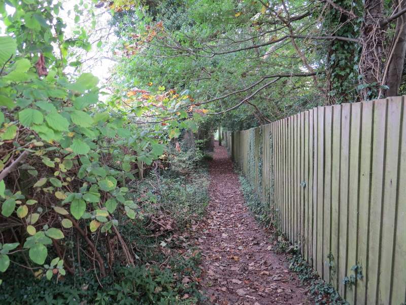
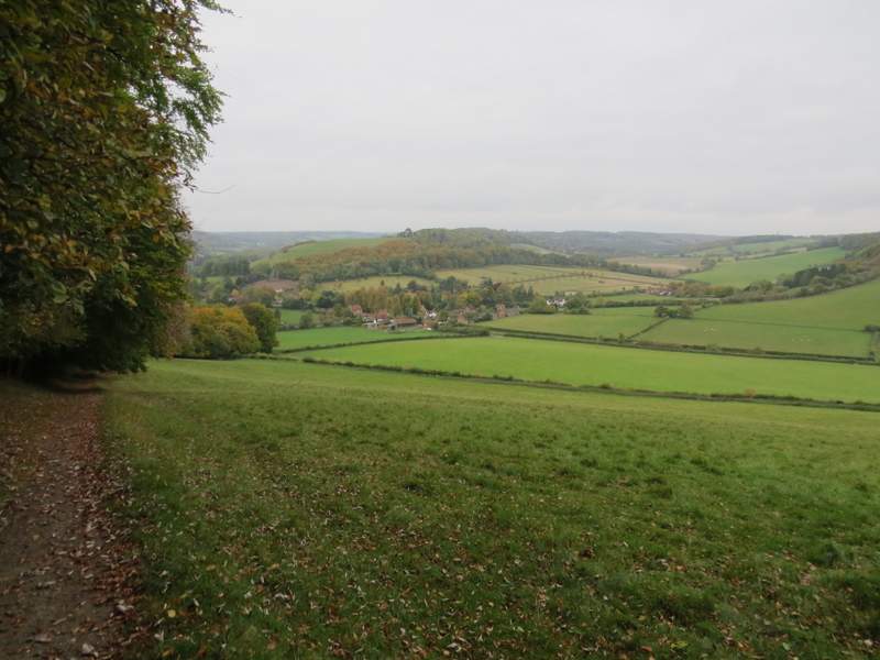
The bridleway from Southend Farm, approaching Dolesden Lane
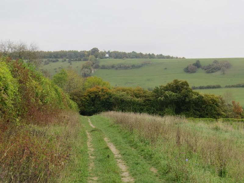
The bridleway continuing towards Turville, with Cobstone Mill in the background
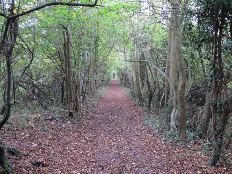
The bridleway heading into Turville
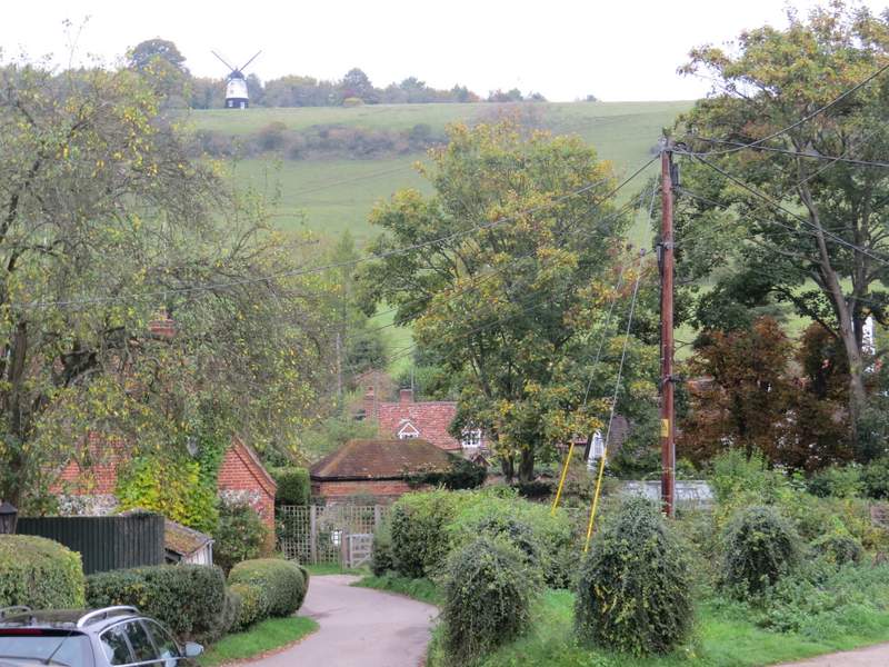
I went straight on down a street to reach the centre of Turville, with the church on my left and the Bull and Butcher pub to my right (both of which have appeared in numerous TV shows and films). I went more or less straight on down a track between houses (heading towards Cobstone Mill on top of a steep slope in front of me), but soon turned right through a gate to follow a gently rising path across a meadow (I saw some lovely Common Toadflax here). The path then continued through a belt of trees and bushes (where I was surprised to spot some Nettle-leaved Bellflower still in flower) to reach a lane. Across this the path continued through a wood for a short distance, then I turned right at a path junction and followed garden fences and hedges on my right to reach Fingest.
Turville
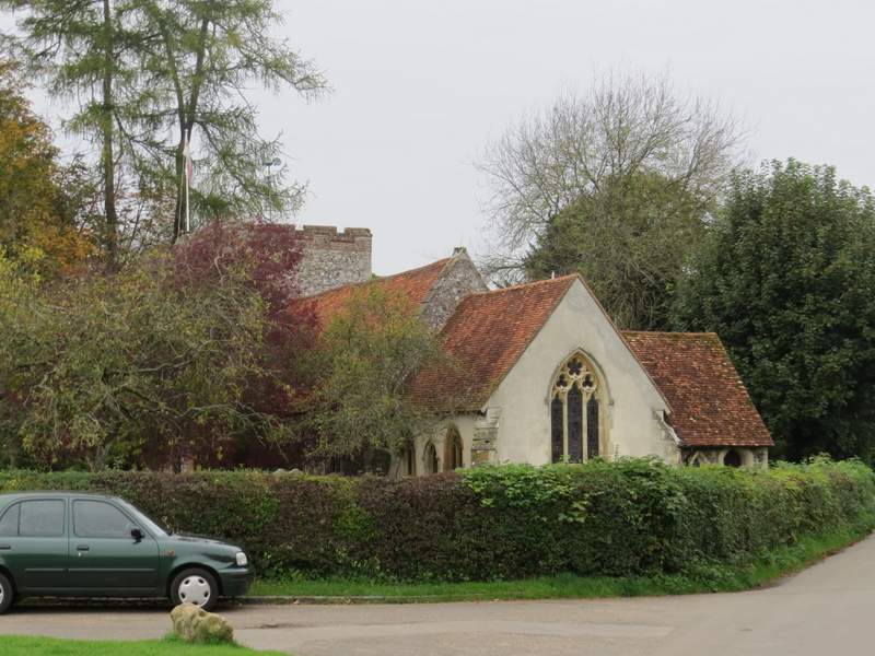
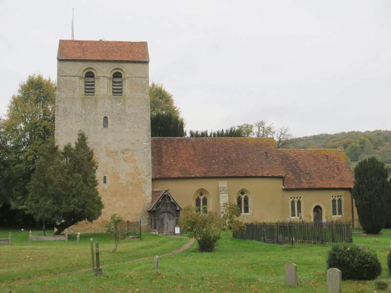
Turville church
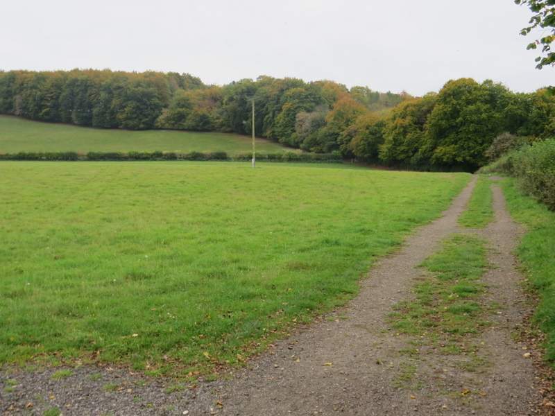
The path from Turville to Fingest
TThe path from Turville to Fingest
The path from Turville to Fingest, after crossing the lane
The path from Turville to Fingest
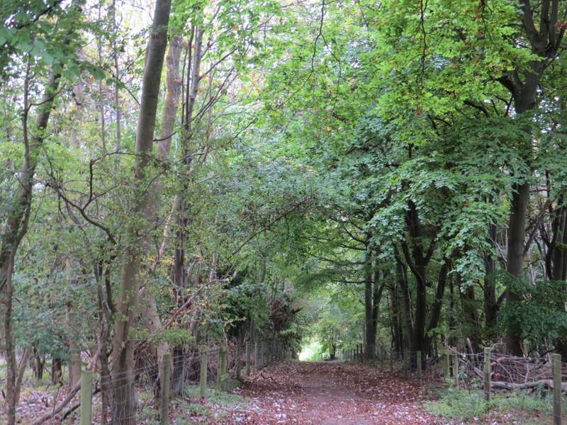
I turned left through the village, passing the impressive Norman church on my left and The Chequers pub on my right. On leaving Fingest, I turned right and followed a path alongside a hedgerow on my right. After passing through an empty pasture, the path started getting steeper as it now curved left with Fingest Wood on my right, and a fine view over the valley on my left. When I reached Fieldfare's stile (a memorial to a writer and naturalist), I paused to admire the view back over Fingest, then continued along the path as it rose gently for a short distance through Fingest Wood.
Fingest church
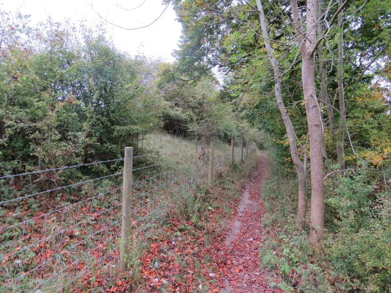
The path from Fingest to Fingest Wood
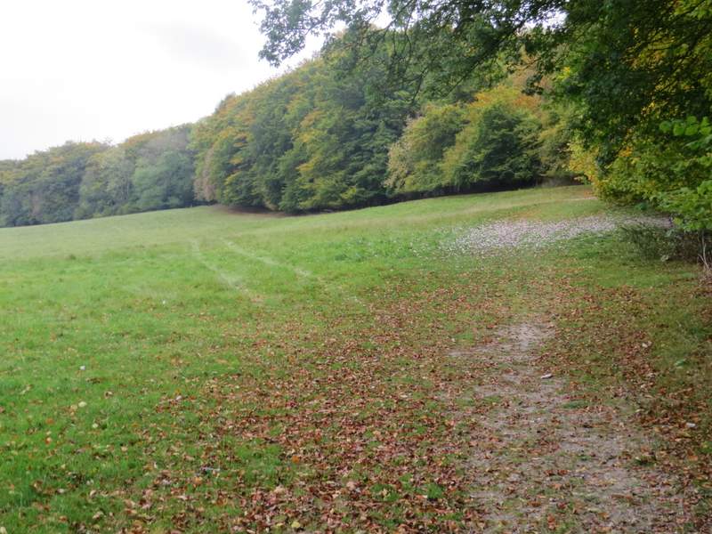
The path from Fingest to Fingest Wood
Looking back over Fingest from the edge of Fingest Wood
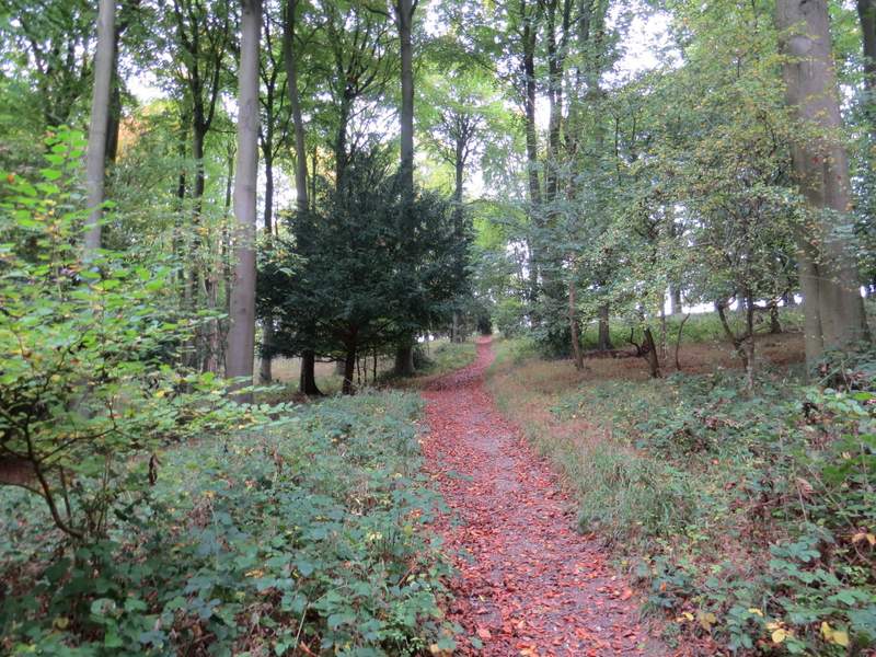
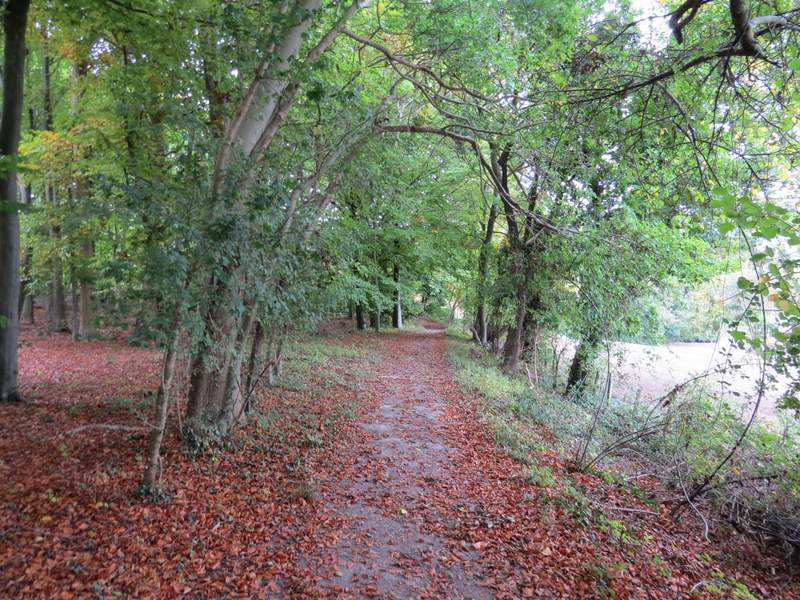
The path through Fingest Wood