Pete's Walks - Hambleden, Medmenham, Colstrope, Fawley (page 4 of 6)
If you are considering walking this route yourself, please see my disclaimer. You may also like to see these notes about the maps and GPX files.
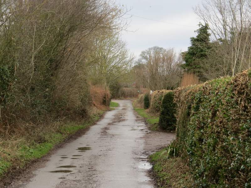
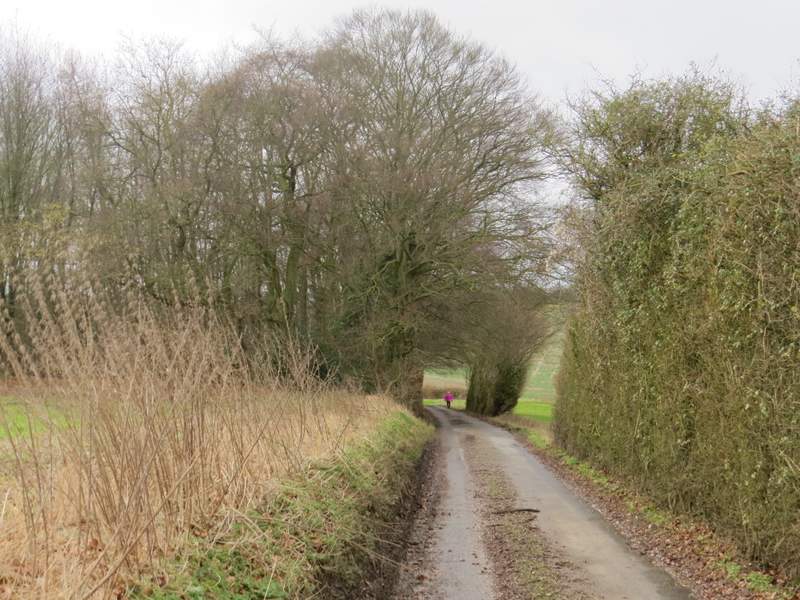
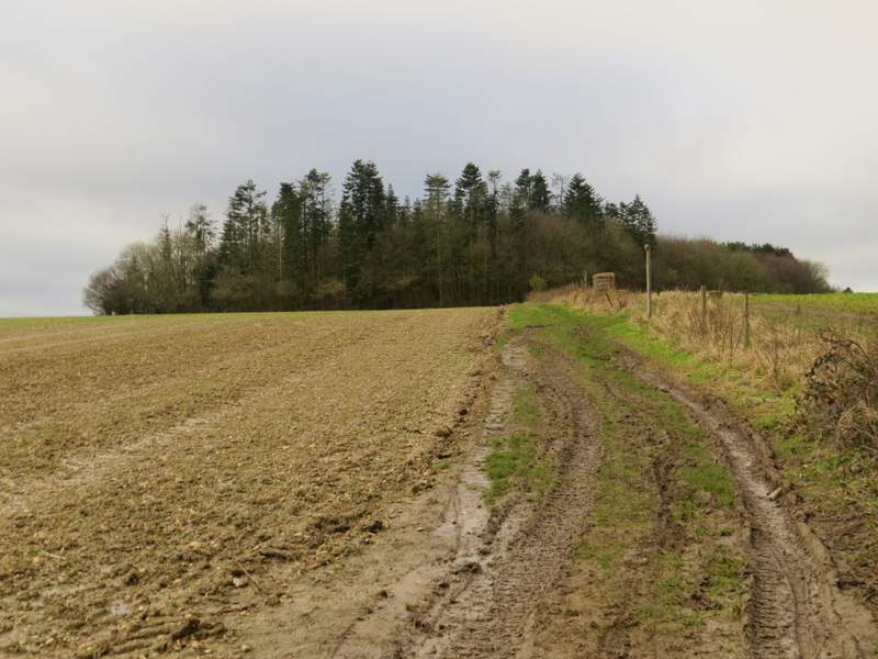
In the valley bottom I went over stiles either side of a farm track by some farm buildings, continuing uphill through another pasture with a hedgerow on my right. At the top of the slope I went over another stile, and followed the path between garden fences and walls a short way to reach a lane near a property named Lower Woodend on the OS map. I went a short way to my right here, then took a path starting at a hedge gap on the left. I was now briefly on a path I'd walked before as I crossed a very muddy ploughed field, the way being marked by tractor tracks. I stopped in the middle of the field and turned to my right to take a photo - when I tried to set off again, I nearly stumbled over as my feet almost stuck in the mud! It was very hard going plodding across this muddy field, so I was very relieved when I reached the other side (opposite a property named Arbon on the OS map). I was now worried about how long the walk was taking me, so decided to cut a bit from the route. I had planned on following a path straight on through a couple of fields and down through Homefield Wood, then taking another path back up out of the wood, but instead I turned right along the lane (again this was new to me). After about a quarter of a mile or so, I turned left onto a footpath near Woodend Farm.
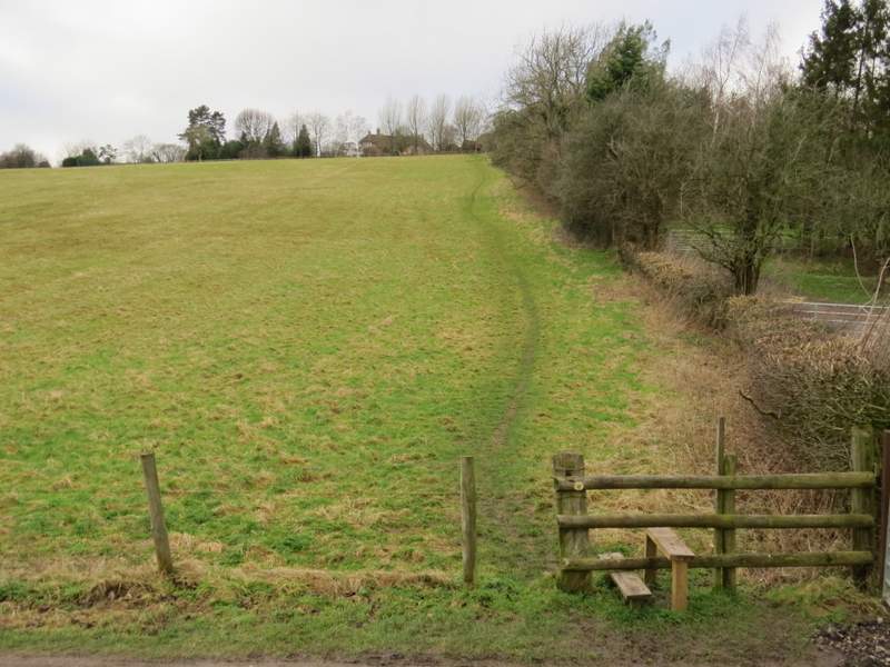
The path continuing uphill
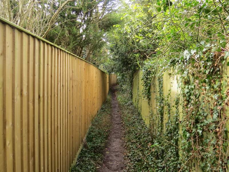
The path continuing between gardens near a property named Lower Woodend
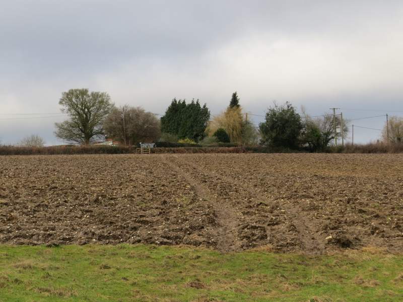
Crossing the field towards a property named Arbon on the OS map
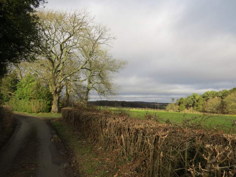
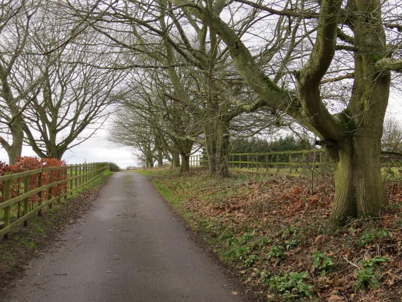
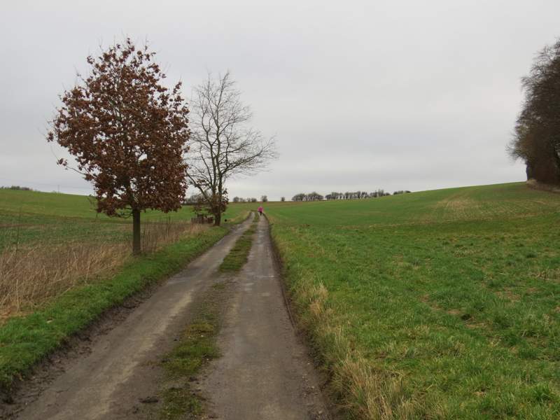
The lane section between Arbon and Woodend Farm
The lane section between Arbon and Woodend Farm (in the centre of the photo is the sign for the footpath where I turned left)
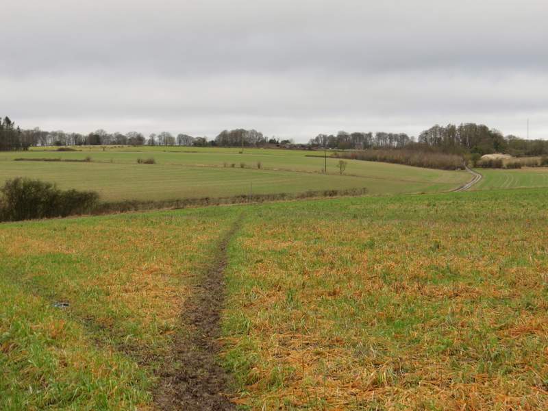
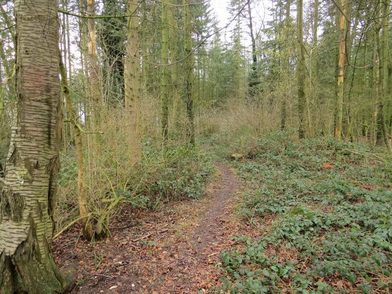
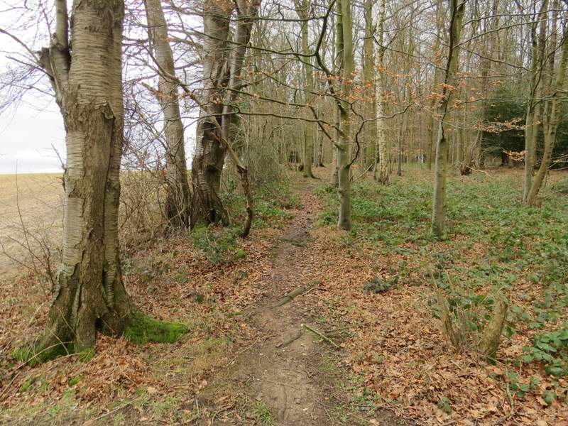
The path started along a drive with a few trees either side. When the drive turned left, the footpath went straight on along a farm track, initially with paddock fences to my left. A little further on, the path started to follow a long hedgerow on my left, with a very large and flat field on my right. I soon passed a path junction (where the route I'd originally planned came in on my left), continuing along the hedgerow as it turned left and then, soon after right. There was now a plantation of young trees on my left, and two or three Red Kites flew low overhead (I'd already seen several in different places along the route). The grassy track continued straight on for a few hundred yards, between the plantation and a hedge on my right. The footpath then turned half-right to head northwest across another very large and flat field, heading just right of the corner of a small wood - I was relieved that the path wasn't too muddy at all through this stubble field.
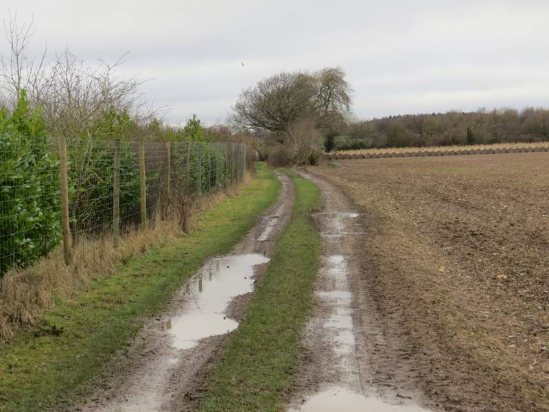
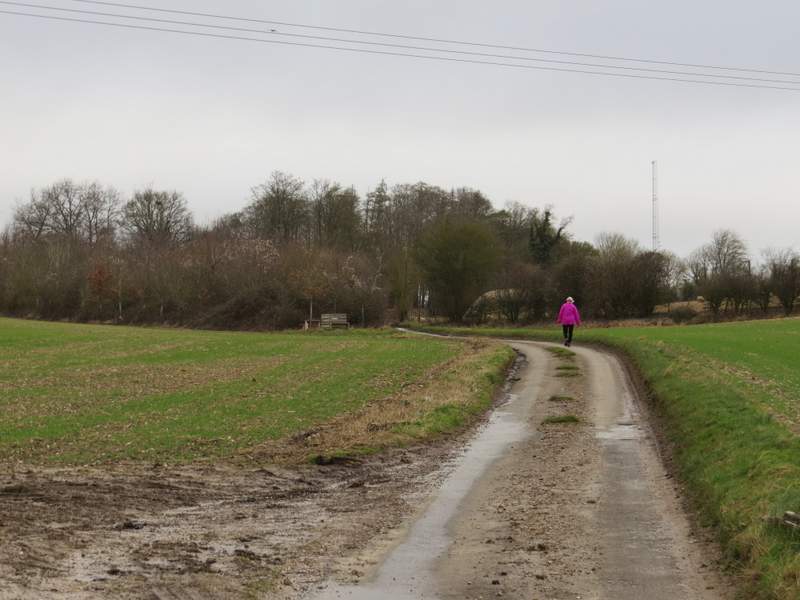
The start of the path after I turned left near Woodend Farm
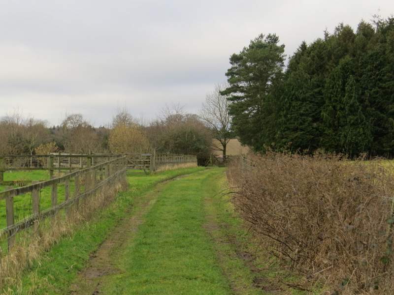
The path continuing from Woodend Farm
The path continuing from Woodend Farm
The path continuing from Woodend Farm
The path continuing from Woodend Farm
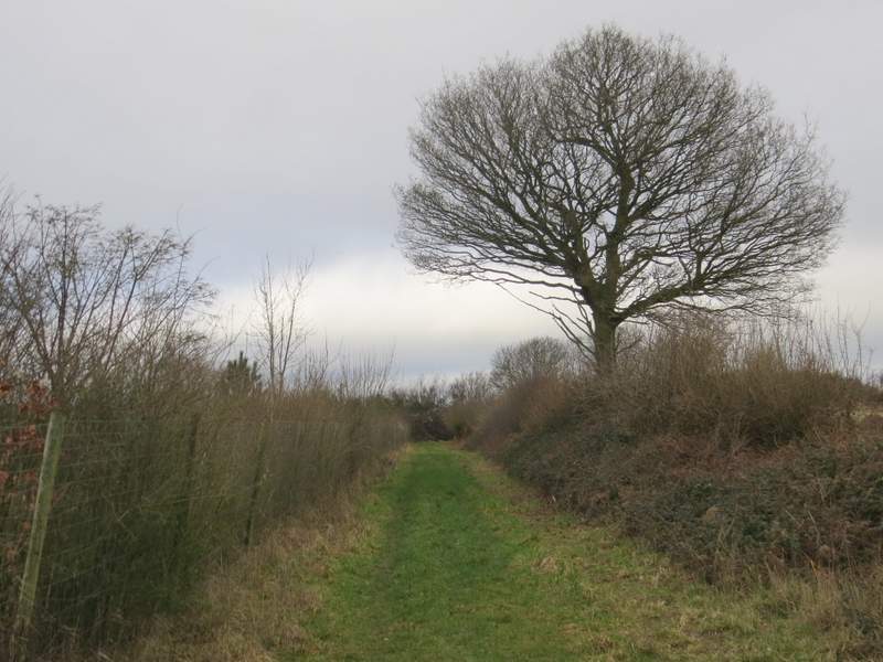
The path continuing from Woodend Farm (after it turns from west to northwest)
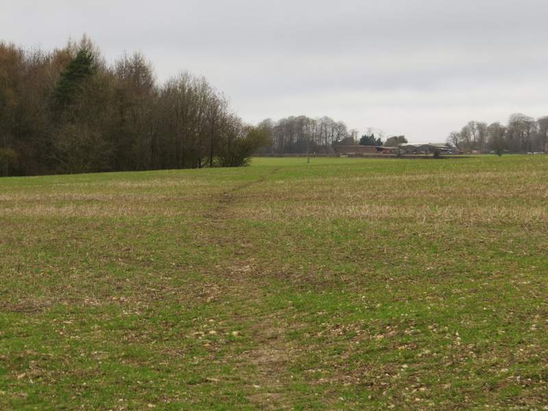
Reaching the end of the path from Woodend Farm
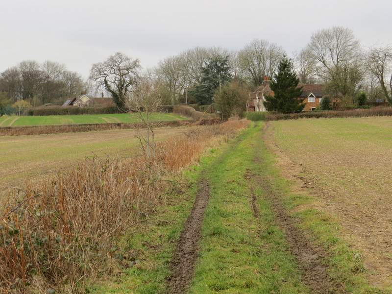
On eventually reaching the far side of the field, I turned left along a lane. Fairly soon I reached a lane junction, where I turned sharply right along a lane that had a line of grass growing in the middle of it. I followed the lane for about half a mile, as it ran between arable fields with no fences or hedges either side. When I reached the start of a triangular area of bushes or small trees on the left, I noticed a couple of seats by a tree with ribbons and some photos tied round it. The photos included one of a young girl and another of a bride and groom, I suspect it was a memorial to someone but there was no writing I could see. Anyway it made a good spot for my lunch break, as it was now almost 1.30pm.
While munching my sandwiches I pondered the fact that this area just east of the Hambleden valley seemed rather unusual for the Chilterns. Rather than the usual heavily wooded hills and valleys, it was an undulating plateau with few woods. The area is also unusual in that there are few footpaths, meaning crossing it in any direction involves at least one lengthy lane walk - this explains why I'd not been here before.
Lunch over, I continued along the lane, then took a path on the left that started along another side of the triangle of bushes or small trees. It then followed a field boundary for a few hundred yards to reach Bushes Wood. The path went half-left through the wood, then turned half-right to run just inside the left edge of the wood. Finally the path followed the left edge of another field to reach a lane junction at the hamlet of Pheasants, where I took the lane straight ahead of me.
The first lane, where I went left
The second lane, after I turned right
The second lane, after I turned right (I would turn left where the bushes on the left finished)
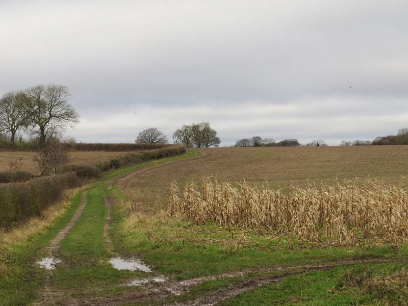
The start of the path after I turned left, heading to Pheasants
The path to Pheasants
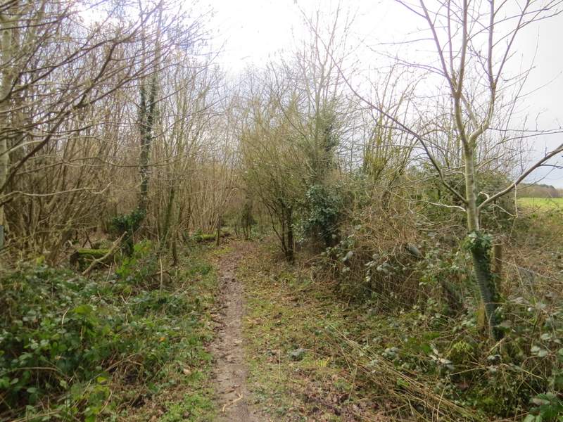
Bushes Wood
Bushes Wood
Approaching Pheasants